Mori Atlas logo
Park earthquake history

Reviewing recorded seismic events, epicentre distances, and magnitude logs near coastal dunes.

Historical Earthquake Catalogue for Schiermonnikoog National Park in Friesland

Access a structured collection of historical seismic data documenting earthquakes recorded in the vicinity of Schiermonnikoog National Park. This catalogue provides direct access to event dates, epicentre locations, and depth measurements associated with the region. Every entry is systematically mapped to represent its proximity to the protected coastal landscapes of the Friesland Wadden Sea region.

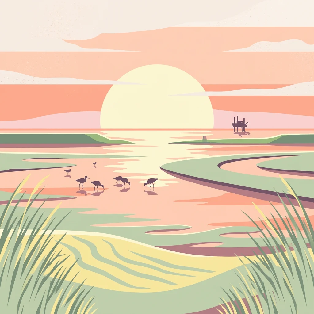
Illustration of coastal marshland with water channels, grasses, birds, and a sunset

Wadden Sea island nature reserve with dynamic dunes, wetlands, and rich birdlife

Schiermonnikoog National Park

Schiermonnikoog National Park occupies the majority of the island of Schiermonnikoog in the Dutch province of Friesland, making it one of the most pristine and well-protected natural areas in the Netherlands. Established in 1989, the park covers approximately 72 square kilometres and represents the first Dutch national park created according to modern conservation standards. The island sits within the Wadden Sea, a tidal landscape shaped by sand drifting, erosion, and sedimentation processes that have defined its geography since the last glacial period. The park encompasses a remarkable diversity of habitats including dunes, forests, polders, tidal flats, marshes, beaches, and a small freshwater lake, creating a complex ecological mosaic that supports exceptional biodiversity. The adjacent Waddenzee was inscribed on the UNESCO World Heritage List in 2009, highlighting the international significance of this coastal ecosystem.

Location
Netherlands
Park type
National park
Established
1989
Area
54 km²
Schiermonnikoog National Park Protected Landscape

Search Schiermonnikoog National Park events by distance

Browse historical earthquakes near Schiermonnikoog National Park

Historical earthquakes near Schiermonnikoog National Park are linked to the park by event epicentres and measured distances, not claimed to occur inside it. Browse dates, magnitudes, depths, locations, distance figures, and supporting sources without treating island, coastal, or park attributes as seismic causes, declaring present risk, or anticipating future events.

Sort by
Magnitude
Location

This page describes catalogued earthquakes associated with the park by epicentre location and distance. It does not establish causation, assess current danger, or predict future earthquakes.

No earthquake records match the current filters

Park atlas

Continue from Schiermonnikoog National Park earthquake data

Find more protected places beyond Schiermonnikoog National Park

Schiermonnikoog National Park earthquake data leads to a separately chosen group of parks and protected areas. Selection does not communicate common island or coastal settings, park designation, biodiversity, geology, seismic history, geographic closeness, hazards, risk, or the same evidence depth.
Watercolor painting of a lake surrounded by green fields and distant mountains.
National parkNetherlands
4.2 km away#1 closest

South

Lauwersmeer National Park: Mapped Wetland Landscape and Migratory Bird Atlas

Explore protected Dutch Wadden Sea geography and terrain.

Discover Lauwersmeer National Park, a protected wetland in the Netherlands shaped by its post-enclosure transformation. This national park offers a unique glimpse into evolving ecosystems, serving as a vital corridor for migratory birds and showcasing a distinctive flat, open landscape with extensive water and reed environments. Its position within the Wadden Sea UNESCO World Heritage Site highlights its broader ecological importance. Explore the mapped geography, land-use patterns, and characteristic terrain of this dynamic protected area, known for its natural darkness and diverse avian populations.

Area
60 km²
Established
2003
IUCN
II
Relief
Lowland
Watercolor painting showing coastal wetlands with mudflats, salt marshes, and distant hills under a soft light
National parkLower Saxony
19 km away#2 closest

East

Lower Saxon Wadden Sea National Park: Protected Coastal Landscape & Geography Atlas

Explore mapped boundaries, intertidal zones, and Lower Saxony's natural terrain.

Delve into the Lower Saxon Wadden Sea National Park, a significant national park situated in Lower Saxony, Germany. This page serves as your atlas entry point for understanding its protected landscape, characterized by vast mudflats, salt marshes, and a crucial role as a migratory bird corridor. Discover the geographic context of this UNESCO World Heritage site and its unique intertidal ecosystem through structured map data and detailed landscape information.

Area
345.8 km²
Established
1986
IUCN
II
Relief
Lowland
A watercolor painting depicting a landscape with marshes, lakes, forests, and meadows
National parkFriesland
35 km away#3 closest

Southwest

De Alde Feanen National Park: Explore Friesland's Historic Peat Bog Landscape

Protected wetland terrain and abundant birdlife in the Netherlands.

Delve into the intricate mapped geography of De Alde Feanen National Park, a national park renowned for its exceptional lowland peat bog ecosystem. This protected area in Friesland showcases a unique terrain comprising shallow lakes, reed beds, and historic peat extraction pools, offering significant ecological and cultural value. The park's landscape provides vital habitats and serves as a testament to the region's long history of human engagement with wetland environments, making it a key destination for atlas-driven geographic discovery.

Area
25 km²
Established
2006
IUCN
II
Relief
Lowland
National parkDrenthe
37 km away#4 closest

Southeast

Drentsche Aa National Park: Preserved Cultural Landscape & River Valley Geography

Explore Drenthe's unique protected lands and mapped terrain.

Drentsche Aa National Park stands as a testament to a landscape preserved from the mid-19th century, offering a rare glimpse into traditional Dutch rural life. Situated in the province of Drenthe, this protected area features one of the last relatively untouched river systems in the Netherlands, characterized by meandering brooks, ancient hedgerows, and distinctive esdorp villages. The park's geography is influenced by the Saalien ice age Hondsrug ridge, creating a unique terrain of heathlands, sand dunes, and rolling landscapes ideal for atlas-based discovery.

Area
100 km²
Established
2002
IUCN
II
Relief
Lowland
Watercolor illustration of a landscape with green fields, trees, a body of water, and distant hills under a light sky
National parkDrenthe
56 km away#5 closest

South

Drents-Friese Wold National Park: Protected Landscape and Geographic Exploration in Drenthe

Explore unique heathlands, drift-sands, and regional natural geography.

This entry details Drents-Friese Wold National Park, a crucial protected landscape in the Drenthe province. Understand its mapped boundaries, distinctive heath and drift-sand terrain, and its significance as a natural area. Discover the park's regional geographic setting and its role in the broader Dutch landscape atlas, providing context for its unique ecological and historical character.

Area
61 km²
Established
2000
IUCN
II
Relief
Lowland
A watercolor landscape painting of a calm, shallow body of water surrounded by grassy, low-lying shores and soft, distant hills under a pale, white sky.
Protected areaNetherlands
64 km away#6 closest

Southwest

IJsselmeer: Geography and Protected Wetland Mapping of the Netherlands

Engineered freshwater landscapes and polder geography

The IJsselmeer acts as the central freshwater reservoir for the Netherlands, providing a expansive, horizon-dominated landscape shaped by the Afsluitdijk. As an internationally recognized wetland, it supports diverse waterbird populations within its intricate system of dikes, former tidal channels, and emerging nature islands. This protected area stands as a definitive example of large-scale, adaptive hydraulic management in a low-lying coastal nation.

Area
1,133 km²
Established
1932
Relief
Lowland
Climate
Temperate
Watercolor painting depicting a body of water, trees, and distant hills under a light sky
National parkDrenthe
70 km away#7 closest

South

Dwingelderveld National Park: Drenthe's Vast Wet Heathland and Unique Pingo Lakes

Explore a protected landscape of heath, bogs, and ancient geography.

Dwingelderveld National Park represents a significant protected landscape in the Drenthe region of the Netherlands, celebrated as the largest wet heathland in Western Europe. This 37-square-kilometer area provides exceptional opportunities for atlas exploration, revealing a terrain composed of sandy ridges interspersed with waterlogged depressions. The park's defining features include more than forty natural pools, known as vennen, many of which are geologically important pingo-ruins. Discover the rich archaeological heritage, including ancient Celtic fields and burial mounds, all situated within this unique natural setting. MoriAtlas offers a structured view of Dwingelderveld National Park's distinct geography and protected ecological value.

Area
37 km²
Established
1991
IUCN
II
Relief
Lowland
Watercolor painting of a wetland scene with a winding river, grassy areas, and distant hills
National parkOverijssel
71 km away#8 closest

South

Weerribben-Wieden National Park: A Premier Lowland Peat Bog National Park in Overijssel

Explore mapped protected wetlands and unique hydrological landscapes.

Weerribben-Wieden National Park stands as a remarkable example of a large-scale lowland peat bog ecosystem, recognized as the most extensive and well-preserved in Northwestern Europe. Located in the Overijssel province, this protected area showcases a complex mosaic of interconnected waterways, expansive reed beds, and marshy woodlands. Our platform provides structured geographic context, enabling detailed map-based discovery of the park's unique terrain and ecological significance as a vital conservation landscape.

Area
105 km²
Established
1992
IUCN
II
Relief
Lowland
MoriAtlas Explorer

Continue Your Geographic Exploration of Schiermonnikoog National Park

Delve deeper into the protected landscape of Schiermonnikoog National Park by exploring its mapped boundaries, regional context within Friesland, and its role as a vital component of the Wadden Sea ecosystem. MoriAtlas provides structured data to understand this unique national park's geography and its significance as a conserved natural area.