National parkTurkey
About 137 km away#1 closest
North

Mount Nemrut National Park
Explore the mapped boundaries of this significant national park.
Mount Nemrut National Park, in Turkey.
- IUCN
- II

Regional geography and mapped landscapes in the vicinity of Tek Tek Mountains National Park
Investigate the geographic distribution of protected areas located within the vicinity of Tek Tek Mountains National Park. This overview provides spatial context for the surrounding steppe ecosystems and natural terrain found across this portion of southeastern Turkey. Use this resource to trace regional park boundaries and identify neighboring wilderness areas within Şanlıurfa Province.
Related tags
Archaeological treasures and steppe landscapes in southeastern Turkey
Tek Tek Mountains National Park is a protected area in southeastern Turkey, established in 2007 within the borders of Şanlıurfa Province. The park encompasses the rugged Tek Tek mountain range and covers approximately 19,335 hectares of semi-arid steppe and rocky terrain. This national park stands out for its remarkable combination of natural landscapes and significant archaeological heritage, protecting both important ecological habitats and ancient historical sites that offer insight into the region's complex past. The area represents one of Turkey's newer protected areas, created to preserve both the cultural monuments scattered throughout the mountains and the unique steppe ecosystems that characterize this part of the Mesopotamian frontier.
See the ranked park cluster in its geographic setting
Distance-ranked collection and regional park geography for comparative environmental analysis
North
Explore the mapped boundaries of this significant national park.
Mount Nemrut National Park, in Turkey.
North
Discover Turkey's largest national park and its unique mountain geography.
Munzur Valley National Park stands as a monumental protected area within Tunceli Province, Turkey. Its expansive territory encompasses approximately 420 square kilometers of dramatic mountain ranges, deep river valleys, and high-altitude glacial lakes. The park's complex geological makeup, shaped by tectonic forces and glacial activity, contributes to its unique terrain. This atlas entry highlights the park's role as a major biodiversity hotspot and a significant feature within eastern Anatolia's regional geography, offering rich context for landscape exploration.
Northeast
Mapped Protected Area in Siirt Province, Southeastern Anatolia
Botan Valley National Park stands as Turkey's most significant protected area, renowned for its vast size and rich biodiversity. Centered around the dramatic Botan River valley in Siirt Province, the park offers a unique glimpse into southeastern Anatolia's rugged geography and diverse ecosystems. This atlas-focused entry allows for exploration of the park's mapped boundaries, its distinctive river valley landscape, and its role in regional nature conservation efforts.
West
Discover its protected landscape and mapped terrain in Osmaniye Province.
Karatepe-Aslantaş National Park stands as Turkey's second national park and its inaugural open-air museum, situated in Osmaniye Province. This protected area is renowned for its significant Neo-Hittite archaeological remnants, including iconic lion statues and the vital Karatepe Bilingual inscription. The park's landscape is characterized by slightly rugged terrain, woodlands, and maquis scrubland, all set against the backdrop of the Aslantaş Dam reservoir, providing a unique geographic context for exploring ancient heritage and natural ecosystems.

West
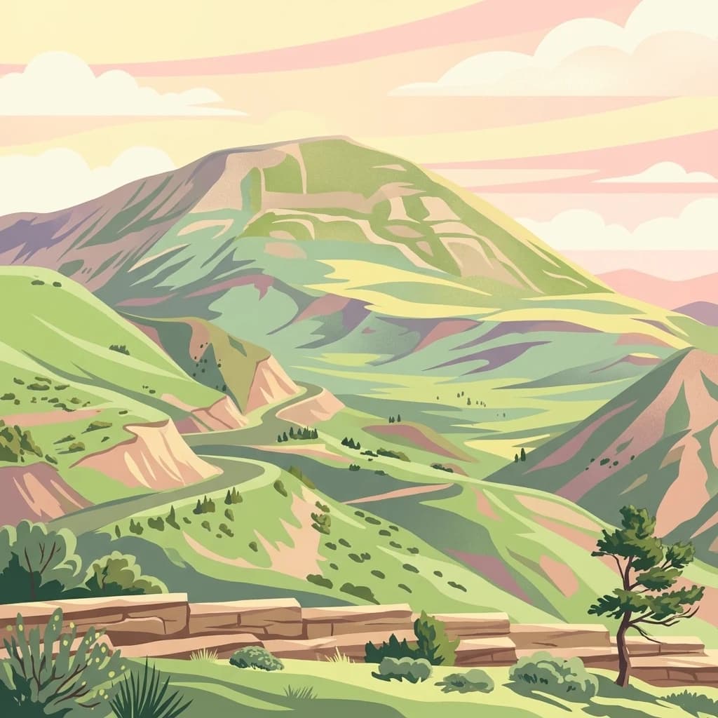
Rugged terrain and crimson peaks in the Anti-Taurus Mountains.
Delve into Aladağlar National Park, a significant protected area defined by its striking alpine environment within Turkey's Anti-Taurus range. This park is renowned for its rugged, high-altitude wilderness, characterized by dramatic granite peaks that display a unique crimson coloration, especially at sunset. Its landscape features steep valleys, alpine lakes formed from snowmelt, and challenging mountaineering opportunities. MoriAtlas offers detailed map context to appreciate the geographic distinctiveness and ecological importance of this elevated protected terrain.
North
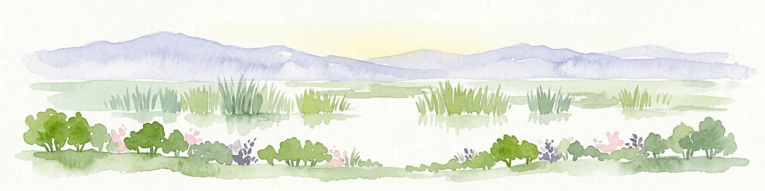
Mapped protected area in Bayburt Province, Turkey.
Delve into Mount Kop Defense National Historic Park, a protected national park situated in the mountainous terrain of Bayburt Province, Turkey. This site is distinguished by its preserved World War I battlefield features and remarkable biodiversity, particularly its status as a critical habitat for numerous high-altitude butterfly species. Explore the mapped geography and unique conservation value of this significant protected landscape, understanding its distinct place within regional natural and historical atlases.
Northwest
Mapped landscape focused on ornithological significance and lake ecosystems.
Sultan Reedy National Park stands as a cornerstone of wetland conservation in Turkey, located within the geographically distinct Kayseri Province. This national park is celebrated for its expansive freshwater lakes and dense reed marshes, forming a critical habitat for a vast diversity of bird species. Its Ramsar designation underscores its international importance as a stopover point for migratory birds traversing major flyways, offering a unique window into a dynamic aquatic ecosystem bordered by dramatic mountain terrain.
Southwest

Explore mapped protected land and natural terrain.
Horsh Ehden Nature Reserve is identified as a critical protected area within Lebanon. This page facilitates an atlas-style exploration of the reserve's specific geographic footprint, highlighting its mapped boundaries and the distinct natural terrain it preserves. Understanding Horsh Ehden Nature Reserve's role as a nature reserve contributes to a broader appreciation of protected landscapes and their regional context.
Southwest
Discover the island geography and mapped protected area.
Palm Islands Nature Reserve encompasses three flat, rocky limestone islands off the coast of northern Lebanon. This vital nature reserve, recognized internationally as a Ramsar site and Mediterranean Specially Protected Area, serves as a critical habitat for endangered green sea turtles and Mediterranean monk seals. Its unique coastal landscape and surrounding waters offer essential resting grounds for migratory birds, making it a significant point in the regional atlas of protected lands.
Southwest
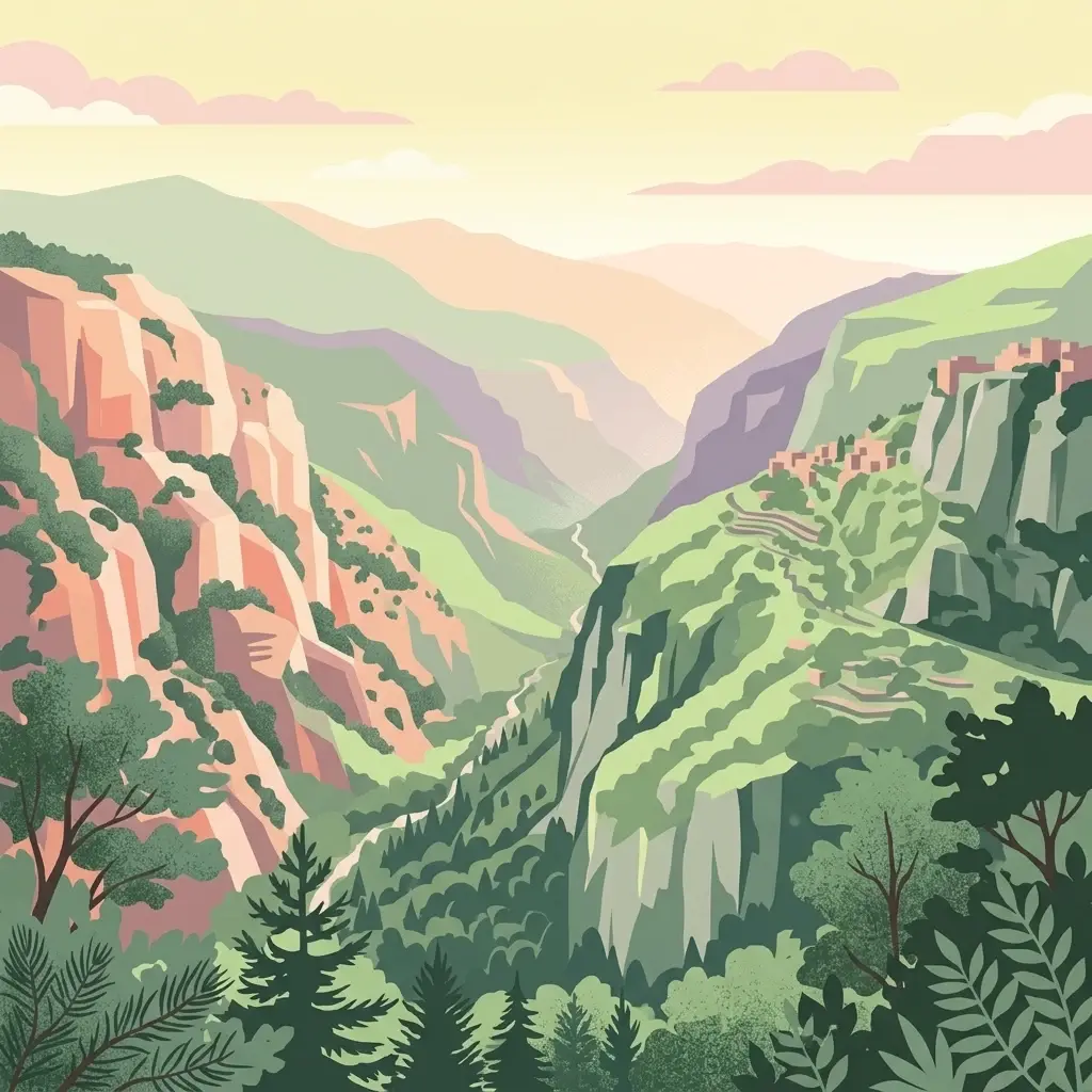
Discover the protected terrain and regional setting of Ouadi Qadisha.
Ouadi Qadisha stands as a key protected area, offering a focused lens on Lebanon's natural geography and protected landscapes. Through this entry, users can investigate the park's specific mapped boundaries, its regional terrain, and its importance within the atlas of natural areas. The structured data available here supports detailed exploration of the protected landscape's geographic context, distinguishing it within the Levant's diverse natural regions.
East
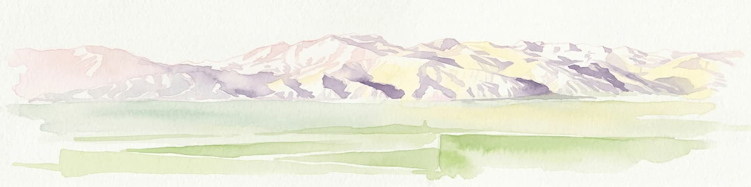
Mapped protected boundaries in Hakkari Province's high alpine environment.
Delve into the geography and protected landscape of Hakkari Cilo-Sat Mountains National Park. This page provides a structured atlas view of its dramatic glacial valleys, alpine lakes, and high peaks within Hakkari Province. Understand the mapped extent and unique topographic features of this newly designated national park, ideal for exploring Turkey's remote mountain ecosystems.
Southwest
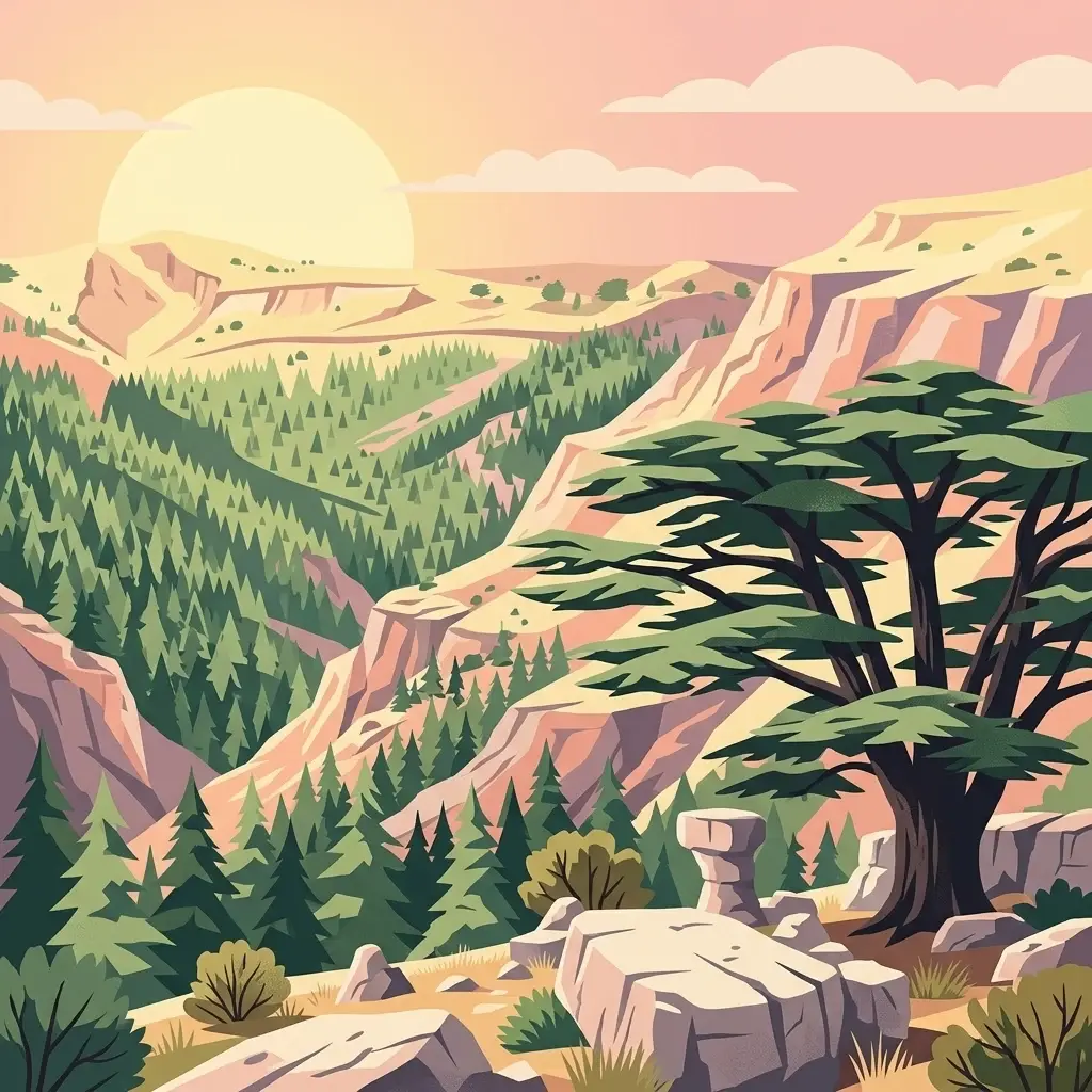
High altitude mountain lake and juniper forest landscapes
Yammoune Nature Reserve offers a comprehensive look at the high northern Beqaa Valley through its rare juniper-covered uplands and unique freshwater ecosystem. The reserve hosts the only habitat for Lebanon's endemic fish, set against a backdrop of ancient Roman ruins and active geological fault lines that define the regional mountain terrain.
Southwest
Mapped geography of Lebanon's largest cedar forest.
Delve into the Tannourine Cedar Forest Nature Reserve, a protected area critically important for its extensive cedar groves within the North Lebanon Governorate. This nature reserve encompasses a complex mountain geography characterized by deep ravines, imposing cliffs, and secluded caves, providing a dramatic backdrop for its dominant cedar population. Users can explore the mapped boundaries and understand the regional landscape context of this ecologically significant coniferous forest, essential for Lebanon's natural atlas.
Southwest
A prominent Mediterranean headland and wetland refuge in Lebanese coastal terrain.
Ras ash-Shaq'a stands as a massive cliff-bound promontory on the coast of Lebanon. This protected area offers a look at the interplay between limestone formations and the Mediterranean Sea, housing critical wetland habitats and historic pilgrimage sites that have shaped regional land use for centuries.
North
Explore the unique cliff-side monastery and mountain terrain of this national park.
Altındere Valley National Park is a significant protected area within Turkey's Trabzon Province, renowned for its breathtaking geography. The park encompasses a dramatic valley in the Pontic Mountains, where the historic Sümela Monastery is famously situated on a sheer cliff face. Users can explore the mapped boundaries, distinct landscape features, and the regional context of this unique protected natural and cultural heritage site. This destination offers a compelling focus for understanding protected landscapes and their integration with the surrounding geography.
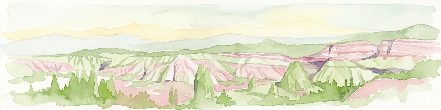
Northwest
Explore the unique geography and rock-cut churches of Cappadocia.
Göreme Historical National Park, in Turkey.
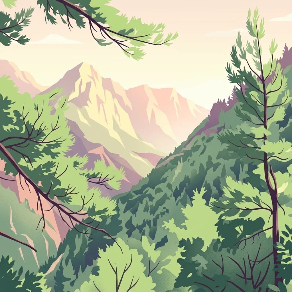
Southwest
Mapped protected landscape within Keserwan District's regional geography.
Jabal Moussa Biosphere Reserve represents a crucial protected area in Lebanon, defined by its unique natural landscape and mapped boundaries. Positioned within the Keserwan District, this nature reserve offers valuable insights for geographic exploration and understanding protected land distribution. Its inclusion in the MoriAtlas platform highlights its significance for regional conservation and atlas-style discovery of Lebanon's natural terrain.
Southwest
Discover its geography, mapped terrain, and role as a biodiversity hotspot.
Aammiq Wetland is Lebanon's most significant freshwater protected area, recognized as a UNESCO Biosphere Reserve and Ramsar site. Its unique geography, characterized by extensive reedbeds and open pools fed by mountain snowmelt, makes it a vital stopover for countless migratory bird species traversing the Middle East. This protected landscape offers rich opportunities for atlas-style exploration, revealing the ecological importance of its mapped terrain and its role as a critical biodiversity hotspot.
North
Discover the dramatic glacial valleys and ridgelines.
Kaçkar Mountains National Park stands as a protected sentinel of Turkey's rugged alpine beauty. This national park encompasses dramatic peaks, glacier-carved valleys, and extensive highland meadows, offering a rich tapestry of mountain geography. Explore the mapped boundaries and landscape context of this iconic protected area, understanding its position within the broader topography of Turkey's Black Sea region.
Southwest
Explore its mapped natural terrain and protected boundaries.
Investigate Al Shouf Cedar Nature Reserve, a protected natural area situated within Lebanon. This page offers a detailed view of its protected landscape identity and geographic context, crucial for understanding its placement within the region's natural atlas. Examine the mapped terrain and park boundaries that distinguish this significant nature reserve.
Geographic measurements, not driving distances
Calculated between the nearest points of both park boundaries.
Estimated from one mapped park location to the nearest boundary of the other park.
Estimated between the mapped locations of both parks.
Delve deeper into the mapped geography and unique protected landscape of Tek Tek Mountains National Park. Understanding its place within Şanlıurfa Province provides essential context for appreciating its natural and cultural significance. This atlas-focused view allows for detailed discovery of the park's terrain, ancient sites, and regional geographic setting, facilitating a comprehensive exploration of this important Turkish protected area.