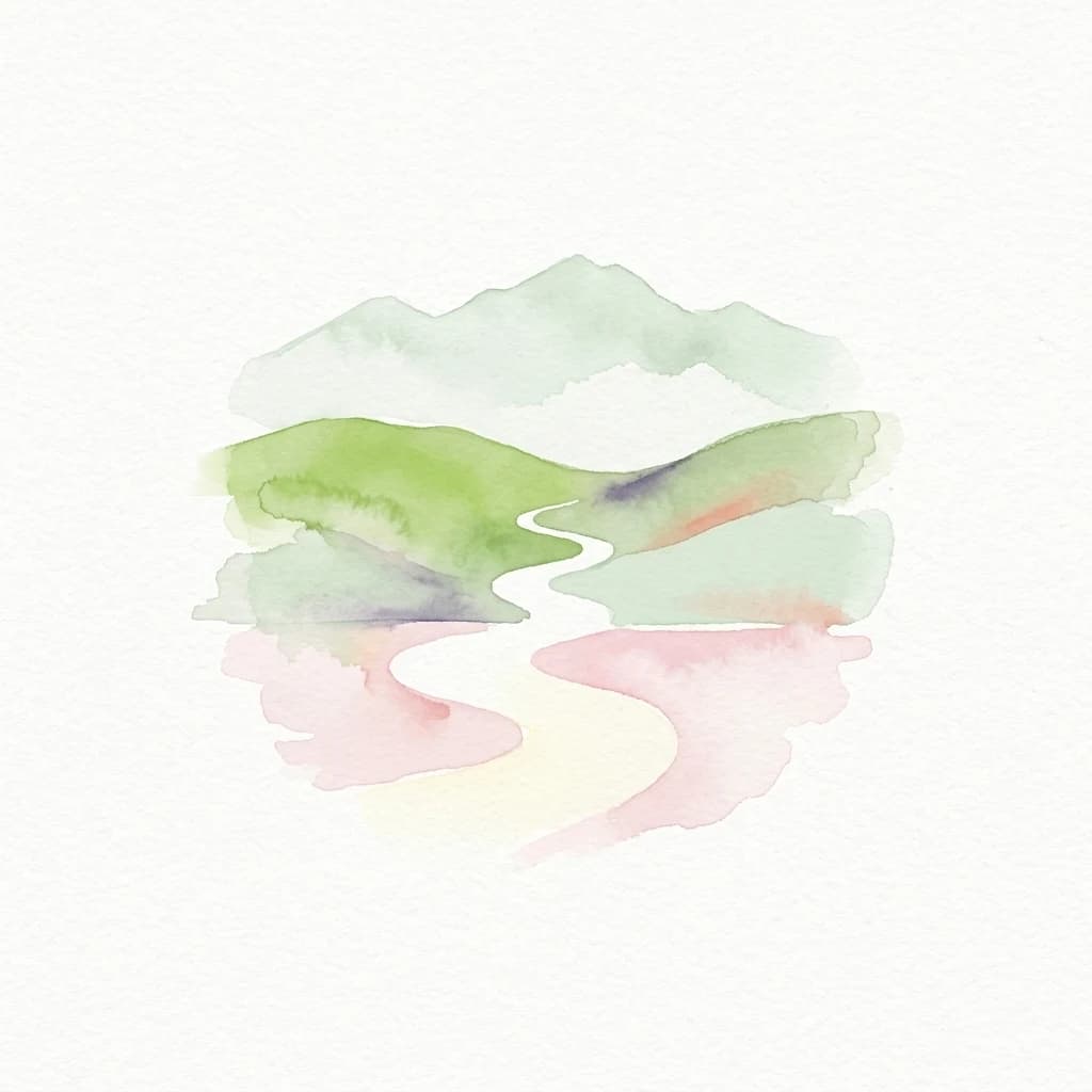
National parkCumbriaMountain

Lake District National Park
Mapped mountain terrain and glacial valleys in Cumbria
Lake District National Park, in Cumbria, United Kingdom. Landscapes: mountains, valleys, and lakes.
2,292 km²1951TemperateV

Explore the mapped distribution and landscape context of protected lands throughout the UK.
Browse profiles of parks and protected areas in United Kingdom, including Lake District and Peak District.
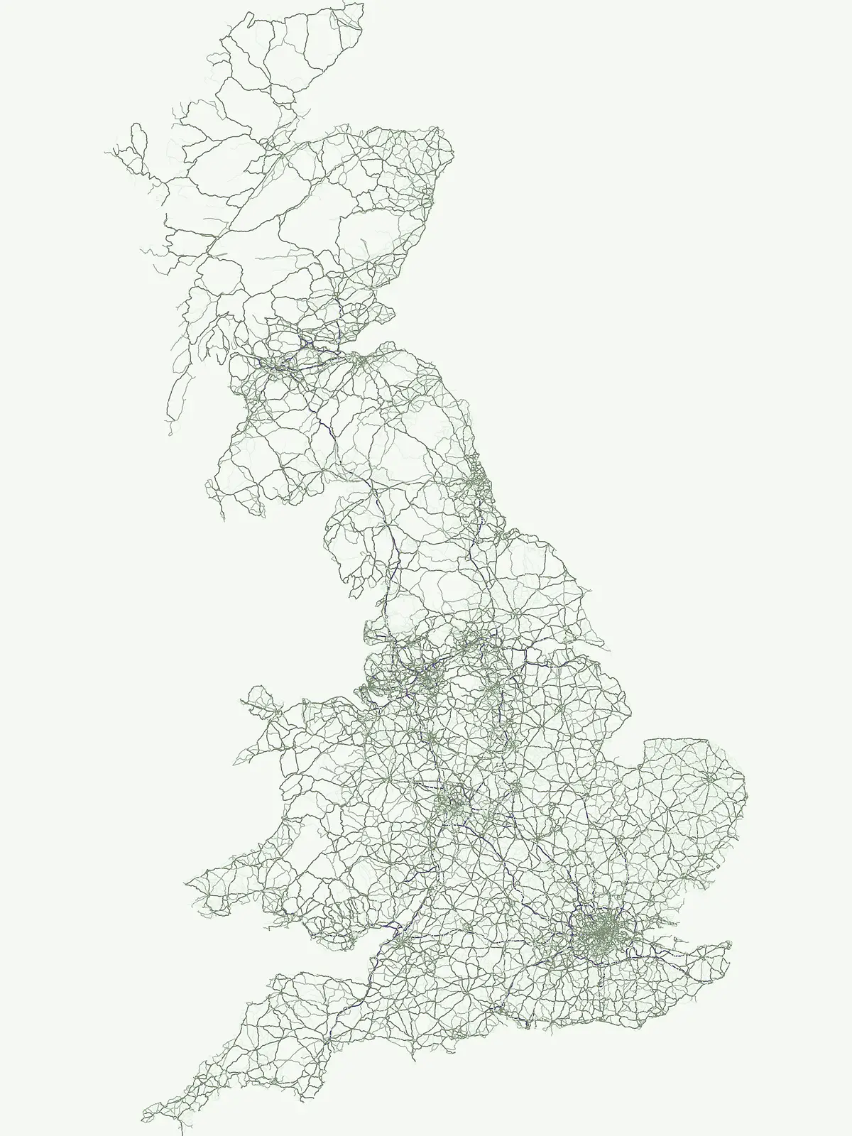
Discover the geographic spread of United Kingdom's national parks and protected areas, mapping diverse conservation landscapes.
Explore a detailed index of national parks and protected areas across the United Kingdom, encompassing England, Scotland, Wales, and Northern Ireland. This comprehensive listing provides essential geographic context for understanding the distribution of upland landscapes, coastal reserves, and critical nature conservation efforts.
Discover the geographic spread of United Kingdom's national parks and protected areas, mapping diverse conservation landscapes.
Explore a detailed index of national parks and protected areas across the United Kingdom, encompassing England, Scotland, Wales, and Northern Ireland. This comprehensive listing provides essential geographic context for understanding the distribution of upland landscapes, coastal reserves, and critical nature conservation efforts.
Showing 1 to 20 of 90 parks
Mapped mountain terrain and glacial valleys in Cumbria
Lake District National Park, in Cumbria, United Kingdom. Landscapes: mountains, valleys, and lakes.
Mapped boundaries and natural terrain context for this UK national park.
Investigate the Peak District National Park, a cornerstone of the United Kingdom's protected natural areas. This MoriAtlas entry provides essential details on its geographic scope, mapped boundaries, and landscape characteristics. Engage with structured data to understand how this national park fits into the atlas of the United Kingdom, supporting detailed geographic and protected-area discovery for researchers and explorers.
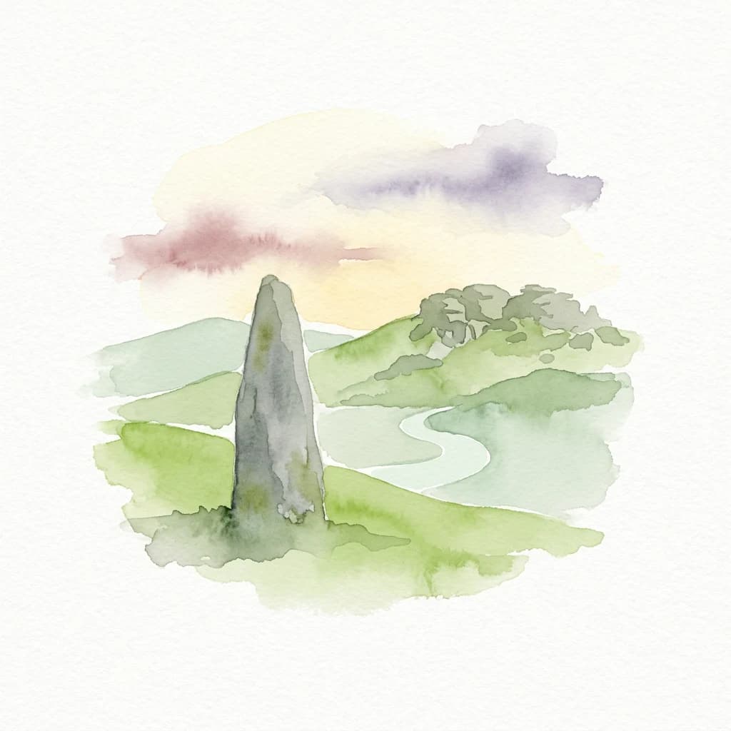
Mapped protected area with significant Bronze Age remains.
Dartmoor National Park, in Devon, United Kingdom. Landscapes: mountains, hills, and valleys.
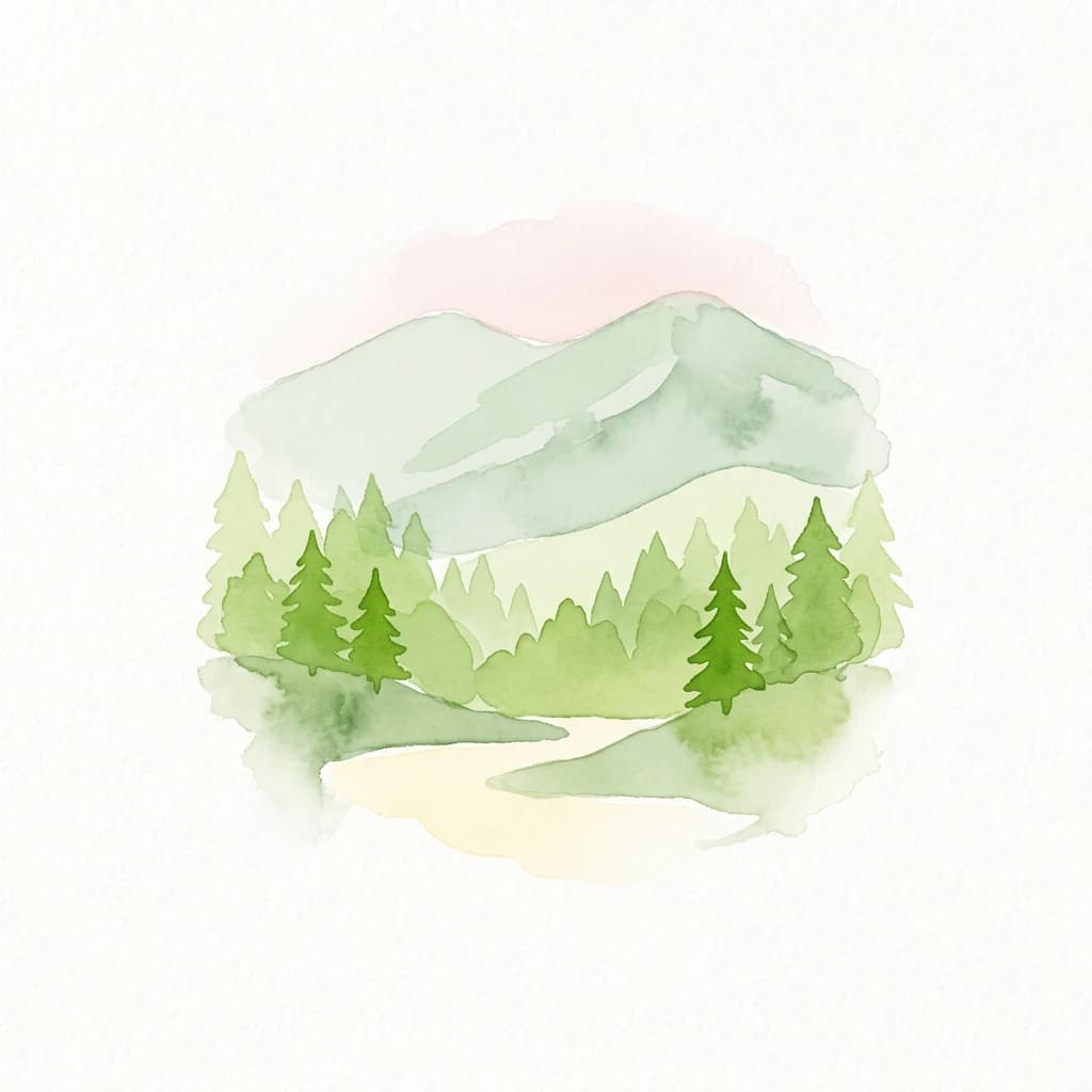
Mapped boundaries and arctic-alpine geography.
Cairngorms National Park, in United Kingdom. Landscapes: mountains, plateaus, and cliffs.

Discover mapped terrain, park boundaries, and regional geography.
Bannau Brycheiniog National Park, in Wales, United Kingdom. Landscapes: mountains, valleys, and grasslands.

Mapped heathland, ancient woodlands, and pastoral traditions.
Explore New Forest National Park, a nationally significant protected area in England renowned for its unique blend of ancient royal forest history, traditional pastoral practices, and biologically rich lowland habitats. This page provides an atlas-focused view of its mapped boundaries, distinctive terrain, and geographic context within England, highlighting its value as a living landscape shaped by centuries of common grazing rights and supporting rare wildlife.
Regional geography and protected Highland boundaries in Scotland
Loch Lomond and The Trossachs National Park, in Scotland, United Kingdom. Landscapes: mountains, woodlands, and lakes.
Mapped terrain, moorland, and dramatic coastal geography.
Exmoor National Park, in United Kingdom. Landscapes: mountains, hills, and valleys.
Discover mapped moorland, dales, and coastlines.
The North York Moors National Park is a vital protected landscape in North Yorkshire, celebrated for its extensive heather moorland and distinctive deeply incised dales. This page provides an atlas-style exploration of the park's geography, highlighting its unique terrain, mapped boundaries, and its integral role within the regional landscape context. Understand the diverse natural features that define this iconic national park, from the upland plateau to the dramatic Jurassic coast.
Iconic chalk downland, coastal cliffs, and mapped terrain.
South Downs National Park is a premier protected landscape in South East England, celebrated for its unique chalk downland terrain and dramatic coastal formations. This page provides detailed geographic context for the park, highlighting its rolling hills, dry valleys, and ancient woodlands. Discover the park's mapped boundaries and its significance within England's protected areas, offering a structured atlas view for landscape exploration.

Explore mapped waterways and protected reedbed ecosystems.
The Broads National Park offers a singular protected wetland landscape with over 200 kilometers of navigable waterways across its numerous shallow lakes, or 'broads.' Shaped by medieval peat excavations and natural processes, this area presents a unique geography of reedbeds and grazing marshes, punctuated by historic windmills. Discover the mapped extent of this protected landscape, its river systems, and its vital role in regional geography through structured atlas data.
A comprehensive look at sedimentary formations in the United Kingdom
Jurassic Coast, in United Kingdom. Landscapes: coasts, beaches, and cliffs.
Explore unique seaside terrain and regional geography.
Delve into the Pembrokeshire Coast National Park, a premier protected landscape recognized for its extraordinary coastal formations and diverse natural terrain. This atlas entry details the park's distinct mapped boundaries, from its iconic limestone cliffs and sea stacks to its sheltered estuaries and inland Preseli Hills. Understand how this significant national park contributes to the protected area map of Pembrokeshire and offers unparalleled opportunities for geographic discovery along the Welsh coast.
Mapped regional geography of the Outer Hebrides
Isle of Lewis, in United Kingdom. Landscapes: mountains, cliffs, and forests.

Explore its mapped boundaries, Roman heritage, and remote moorland terrain.
Northumberland National Park protects over 1,050 square kilometers of remote and stunning natural beauty in northern England, bordering Scotland. This page provides a structured overview of its protected landscape, focusing on its geographic context within the county of Northumberland, its designation as a National Park, and its renowned status as Europe's largest Dark Sky Park. Users can discover the park's characteristic moorland terrain, the archaeological significance of Hadrian's Wall, and the vast expanses of Kielder Forest, offering an atlas-level understanding of this unique frontier landscape.
Mountain terrain, glacial lakes, and regional geography.
Snowdonia National Park offers a profound exploration of mountainous protected landscapes in North Wales. This page details the park's mapped boundaries, revealing a terrain shaped by glaciation, featuring dramatic peaks like Snowdon, steep valleys, and pristine glacial lakes. Understand its geographic identity within the United Kingdom and how its protected status contributes to the regional landscape context, providing a unique focus for atlas-based discovery.

Explore mapped boundaries and distinctive limestone terrain.
Yorkshire Dales National Park offers a rich tapestry of mapped natural landscapes, characterized by its iconic limestone valleys, U-shaped glacial formations, and rolling heather-clad moorlands. Situated within North Yorkshire, this protected area showcases a unique karst geology, evident in features like Malham Cove and extensive cave systems. The park's traditional dry-stone walls and working farms contribute to a living cultural landscape, making it a prime destination for atlas-driven geographic discovery and understanding regional terrain.
Coastal terrain and ecological sanctuary in the Shetland Islands
Fetlar is a remarkable protected landscape in the Shetland Islands, famously known as the Garden of Shetland for its unusually fertile soil and plant diversity. This geographic entry documents the island's role as a critical seabird refuge and its complex coastal environment, providing essential context on the physical boundaries and historical landmarks like the Funzie Girt that define this North Atlantic isle.
Island moorlands, coastal cliffs, and freshwater loch ecosystems.
Rousay represents a critical protected area within the Orkney islands, characterized by its elevated moorland summits and dramatic shorelines. The mapped terrain reveals complex interactions between marine sounds and terrestrial habitats, offering a deep look into the regional geography and conservation status of this northern sanctuary.
Northern Scotland's vast, waterlogged peatland ecosystem.
The Flow Country is defined by its extensive, open peatland terrain stretching across Caithness and Sutherland. This nature reserve serves as a critical geographic study area for understanding blanket bog formation, carbon storage, and the restoration of fragile wetland habitats in northern Europe.
Navigate the broader atlas of national parks, comparing diverse protected landscapes and geographic contexts beyond the United Kingdom's boundaries.

Parks and protected areas in Germany, including Wadden Sea National Park and Bavarian Forest.

Parks and protected areas in France, including Cévennes and Mercantour.

Parks and protected areas in Denmark, including Wadden Sea and Thy.

Parks and protected areas in Norway, including Jotunheimen and Hardangervidda.

Parks and protected areas in Netherlands, including Hoge Veluwe and Zuid-Kennemerland.

Parks and protected areas in Belgium, including Hoge Kempen and Zwin.

Parks and protected areas in Luxembourg, including Haff Réimech and Haard.

Parks and protected areas in Ireland, including Killarney and Glenveagh.
Protected area types
Delve deeper into the structured atlas of United Kingdom's protected lands. By understanding how designations like National Parks categorize these areas, you can trace their geographic boundaries and regional importance. Continue your exploration to uncover the rich tapestry of conservation areas and their specific roles within the UK's natural heritage.
Narrow your search for parks in United Kingdom by environmental characteristics.