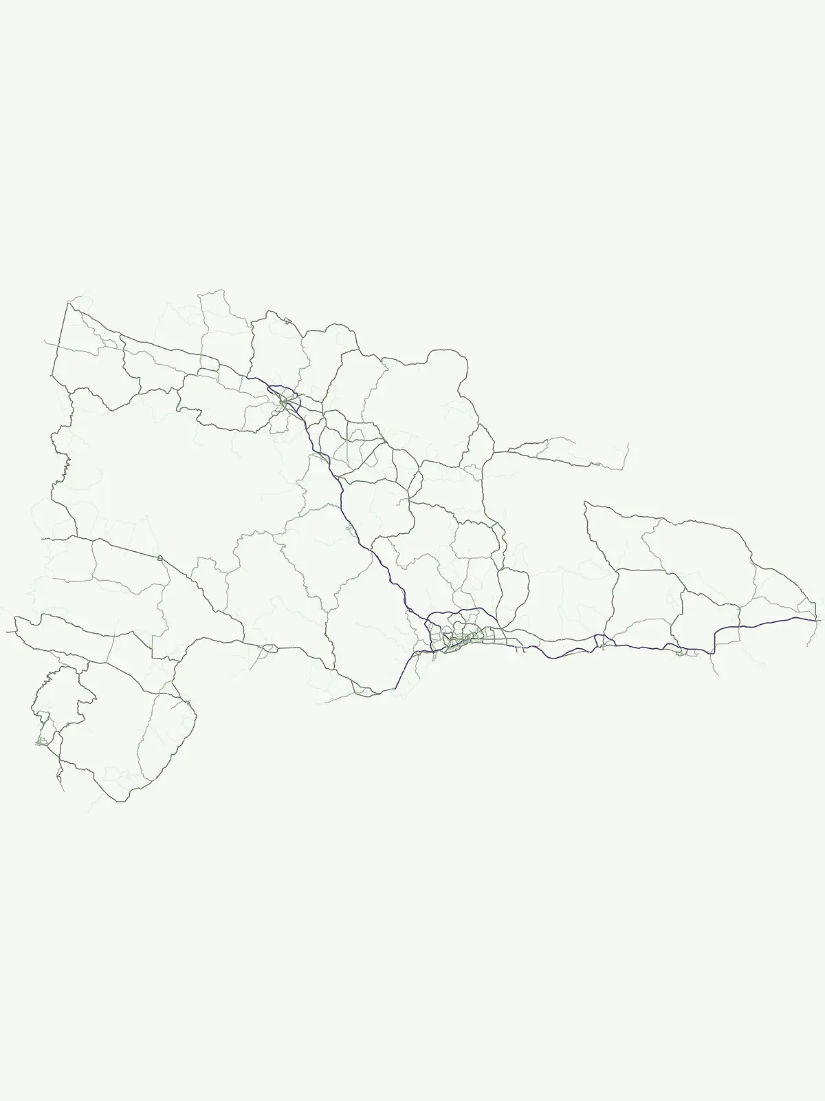
Browse and compare the country's recognized National Parks and their geographic context.
Dominican Republic National Parks: An Atlas of Protected Landscape Discovery
Discover the designated National Parks within the Dominican Republic, forming a crucial layer of protected lands across the nation's diverse geography. This atlas-focused route details these significant areas, highlighting their mapped boundaries and contribution to landscape conservation. Understand how these parks fit into the broader protected area network and regional context of this Caribbean island nation.
Explore the network of protected natural areas and their varied distribution across the Hispaniola landscape.
Dominican Republic National Parks: Major Protected Areas and Conservation Geography
Dominican Republic's national parks safeguard significant natural heritage, encompassing diverse Caribbean landscapes like the underwater ecosystems of La Caleta and the mountainous terrain of José Armando Bermúdez. These designated areas represent the nation's primary commitment to landscape conservation and biodiversity protection, offering crucial geographic context for exploration across the island.
Dominican Republic National Parks: Browse Protected Area Geography
Browse a comprehensive list of National parks in the Dominican Republic, including key protected areas like Los Haitises and Jaragua National Park, covering diverse Caribbean landscapes. This curated selection allows for atlas-style discovery of the country's nationally recognized conservation efforts and their geographic spread.
National parkPedernales ProvinceMarineMountain
Jaragua National Park
Discover the mapped geography and protected boundaries of Jaragua National Park.
Jaragua National Park stands as a crucial national park within the Dominican Republic, located in Pedernales Province. This entry provides an in-depth, atlas-style examination of the park's protected landscape, focusing on its geographic features and mapped extent. Users can explore the park's position within the regional geography and understand its significance as a conservation area.
Mapped terrain and protected area boundaries in the Dominican Republic.
Los Haitises National Park is a vital protected national park in the Dominican Republic, offering unique insights into the region's geography and natural landscapes. This page delves into its mapped boundaries, regional context, and the importance of its protected status for understanding Dominican Republic's conservation areas. Gain a structured view of this important natural landscape and its place within a broader geographic atlas.
Mapped protected landscapes and natural terrain within Hispaniola.
Delve into the protected area details of The Three Eyes National Park, a designated national park situated in the Dominican Republic. This page facilitates a structured discovery of its geographic scope, mapped boundaries, and the surrounding natural landscapes, offering essential context for anyone exploring the atlas of protected areas within Hispaniola. Understand its unique character as a key element of the country's conservation geography.
Mapped protected area in the Dominican Republic's Cordillera Central.
Valle Nuevo National Park in the Dominican Republic offers a rare glimpse into a Nearctic ecosystem within the Caribbean. Spanning 910 square kilometers in the Cordillera Central, it features dramatic mountain peaks like Loma Alto de la Bandera and distinctive glacial landforms. The park protects extensive Hispaniolan pine forests and cloud forest habitats, supporting remarkable endemic biodiversity and serving as a critical watershed for the region.
Explore the mapped features and natural terrain of this Dominican national park.
Cueva de las Maravillas National Park is a key protected entity within the Dominican Republic, offering rich geographic context for atlas exploration. This entry focuses on the park's identity as a national park, detailing its mapped boundaries and natural landscape features. Understand its specific role within the Dominican Republic's broader geography and its significance as a conservation area, providing essential context for landscape discovery.
Explore the mapped terrain and natural boundaries.
Cotubanamá National Park stands as a vital component of the Dominican Republic's protected lands. This entry provides detailed atlas-style information, focusing on the park's geographic context, its designation as a national park, and the specific character of its protected landscape. Understand its role within the broader Caribbean geography and the mapped natural features that define this significant area.
Discover the mapped protected area and geographic setting of this Dominican Republic national park.
Gain an understanding of José Armando Bermúdez National Park as a distinct protected landscape within the Dominican Republic. This entry focuses on its role as a national park, providing geographic context and highlighting its mapped boundaries for atlas exploration. Explore the park's specific terrain and its place within the nation's conservation network.
Discover its protected marine landscape and mapped underwater terrain.
La Caleta Underwater National Park is a designated national park within the Dominican Republic, offering a unique focus on protected marine geography. Explore the mapped underwater terrain and understand its protected landscape identity. This entry provides essential context for atlas-based discovery of its specific geographic features and conservation significance in the Caribbean.
Explore mapped boundaries and regional landscape context.
Monte Cristi National Park serves as a vital component of the Dominican Republic's protected lands, located within the Monte Cristi Province. This entry provides essential geographic context and visualizes the park's mapped boundaries, contributing to a comprehensive understanding of its landscape. Delve into the atlas perspective of this national park, examining its terrain and regional significance for structured geographic exploration.
Explore early Caribbean colonization and its archaeological landscape.
Pueblo Viejo National Park stands as a crucial archaeological site in the Dominican Republic, preserving the remnants of Concepción de la Vega, a significant colonial settlement established during the era of Christopher Columbus. This national park offers a unique window into the beginnings of European presence and the first major gold extraction operations in the Americas. Examine the mapped foundations of its fortress and town structures, understanding the colonial urban planning and the historical geography of early Caribbean heritage.