Northwest
Commander Islands
Explore protected landscapes in Kamchatka Krai.
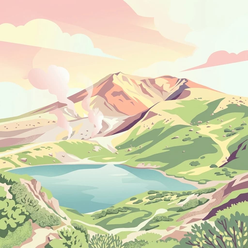
Commander Islands, in Kamchatka Krai, Russia. Landscapes: islands, cliffs, and volcanoes.
- Area
- 1,846 km²
- IUCN
- Ia
- Relief
- Mixed relief
- Climate
- Subpolar
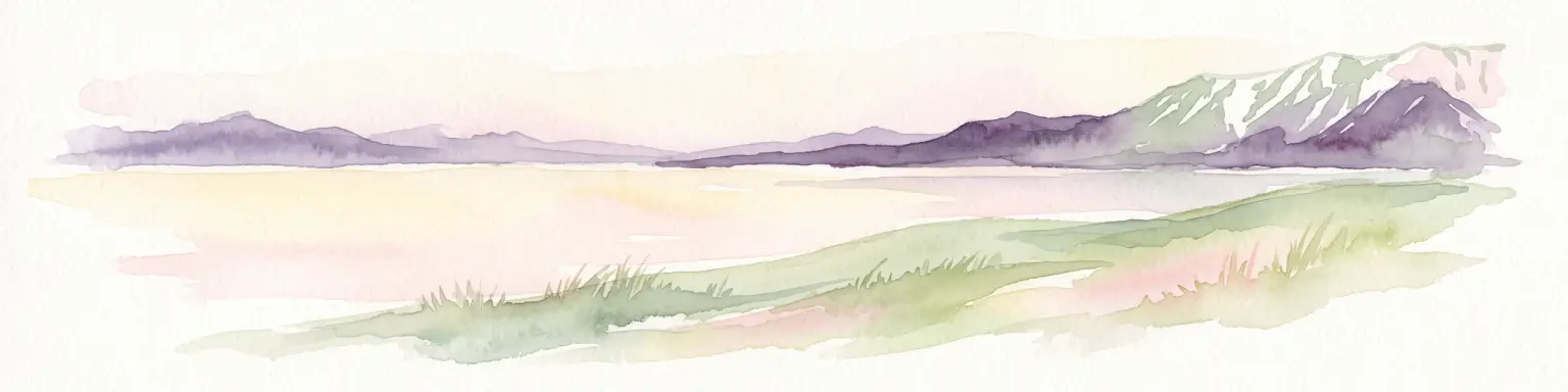
Regional landscape context and mapped proximity analysis for surrounding protected lands
Examine the geographic distribution and spatial relationships of protected areas surrounding Komandorsky Islands National Park. This regional overview highlights the proximity and landscape context of nearby nature reserves within the Kamchatka Krai and broader North Pacific environment. Use these data to trace the regional network of coastal, marine, and volcanic protected zones.

Russia's largest national park, guarding a remote volcanic archipelago in the North Pacific.
Komandorsky Islands National Park is a vast protected area in the far northwestern Pacific Ocean, sitting on the Commander Islands at the western end of the Aleutian arc between the Kamchatka Peninsula and Alaska. It is Russia's largest national park, founded on the basis of an earlier strictly protected nature reserve and encompassing both the islands themselves and a huge surrounding marine belt of the Bering Sea and Pacific. The park preserves a remote volcanic island chain of jagged coasts, basalt sea stacks, tundra slopes and high oceanic habitat. It supports rich seabird colonies, major pinniped rookeries, the only place in Russia where cetacean monitoring continues year round, and isolated populations of Arctic-adapted flora and fauna including endemic subspecies. Because of this combination of scale, isolation and ecological value, the park is considered one of the most important marine and island reserves in the Russian Far East.
See the ranked park cluster in its geographic setting
Distance-ranked protected landscapes and regional park geography comparisons
Northwest
Explore protected landscapes in Kamchatka Krai.
Commander Islands, in Kamchatka Krai, Russia. Landscapes: islands, cliffs, and volcanoes.

North
Explore protected boundaries and subarctic geographic features
Beringia National Park offers an expansive look at the subarctic ecosystems of the Chukchi Peninsula. This protected area preserves a unique terrain characterized by low-lying tundra plains and dramatic mountain ridges. Its position along the Bering Strait provides significant geographic context for understanding northern land connections and the remnants of ice age migrations within the Russian Arctic wilderness.

West
Mapping protected marine and island geography in Khabarovsk Krai.
Shantar Islands National Park represents a significant protected landscape within Khabarovsk Krai, notable for its dramatic coastal geography, mountainous terrain, and rich marine ecosystems. This national park, encompassing a chain of islands in the Sea of Okhotsk, is a vital habitat for marine mammals and seabird colonies. Explore its mapped boundaries and unique regional atlas context, understanding its role as a protected coastal area in the Russian Far East.

Southwest
Explore mapped boundaries and regional park context.
Shiretoko National Park, designated as a national park in Hokkaido, Japan, serves as a vital point for understanding regional geography and protected landscape exploration. This entry offers a structured view of the park's geographic scope, focusing on its mapped boundaries and natural terrain. Discover how Shiretoko National Park contributes to the broader atlas of conservation lands in the Hokkaido region, providing context for its unique ecological and geographic significance.

North
Exploration of permafrost terrain in the Sakha Republic
Situated in the Sakha Republic, Kytalyk National Park protects nearly 1.9 million hectares of low-lying Arctic coastal tundra. The park provides an essential look at intact polar environments, featuring thermokarst landforms, extensive peat bogs, and critical nesting grounds for migratory bird species across the Siberian landscape.

Southwest
Mapped protected area boundaries and regional landscape context.
Akan Mashu National Park, in Hokkaido, Japan. Landscapes: mountains, forests, and lakes.

Southwest
Explore the mapped terrain of eastern Hokkaido's vital peatlands.
Kushiro-Shitsugen National Park, in Hokkaido, Japan. Landscapes: wetlands, rivers, and lakes.

Southwest
Explore Hokkaido's largest national park and its vast mountain terrain.
Daisetsuzan National Park, in Japan. Landscapes: mountains, volcanoes, and forests.

West
Explore its mapped geography and unique subarctic alpine flora.
Rishiri-Rebun-Sarobetsu National Park in Hokkaido, Japan, offers a unique exploration of dramatic volcanic islands and vital coastal wetland ecosystems. This protected area showcases striking geological formations, from the conical peaks of Rishiri and Rebun islands to the vast peat bogs of the Sarobetsu Plain. Its subarctic environment supports a rich tapestry of alpine flora, providing a distinct case study in protected landscape geography and mapping for the region.

West
Ecological corridors from the Amur River to the Sikhote-Alin mountains.
Anyuysky National Park represents a critical, remote expanse in the Russian Far East. Its boundaries protect a continuous gradient of habitats, linking the flat wetlands of the Amur River floodplain with the forested slopes of the Sikhote-Alin highlands. The park serves as a key area for habitat preservation and environmental mapping.

West
Old-growth forest wilderness in the Sikhote-Alin range
Bikin National Park, in Primorsky Krai, Russia. Landscapes: forests, rivers, and mountains.

Northeast
Subarctic wilderness tracking wetlands and boreal transitions
Spanning over one million acres in the Alaskan interior, Innoko Wilderness offers a unique look at a sprawling subarctic ecosystem. Dominated by muskeg, interconnected lakes, and the floodplains of the Yukon and Innoko Rivers, this protected area functions as a critical transition zone between interior forests and western tundra landscapes.

Southwest
Volcanic peaks, coastal cliffs, and Hokkaido's expansive geography.
Hidakasanmyaku-Erimo-Tokachi National Park represents Japan's largest national park, offering a comprehensive exploration of its protected landscape. This vast area in Hokkaido combines the rugged topography of the Hidaka volcanic mountain range with the striking maritime environment of Cape Erimo. Users can explore detailed geographic contexts, understand the park's extensive boundaries, and appreciate its role as a crucial protected natural area at the intersection of alpine and coastal ecosystems.

Northeast
Explore mapped boundaries and natural terrain within Northwest Arctic Borough.
Kobuk Valley National Park, in Northwest Arctic Borough, United States of America. Landscapes: dunes, wetlands, and valleys.

Northeast
Discover mapped boundaries and regional geographic context within Alaska.
Katmai National Park and Preserve, in Alaska, United States of America. Landscapes: mountains, valleys, and wetlands.

West
National Park in Amur Oblast, Russia
Delve into the specifics of Tokinsko-Stanovoy National Park, a designated national park within Amur Oblast. This entry provides essential context on its protected landscape characteristics and its place in the regional geography. Understand the park's mapped boundaries and discover its natural terrain as part of a larger atlas-driven exploration of protected areas in the Russian Far East.
Geographic measurements, not driving distances
Calculated between the nearest points of both park boundaries.
Estimated from one mapped park location to the nearest boundary of the other park.
Estimated between the mapped locations of both parks.
Continue exploring the complex geography of this remote Russian national park. Use MoriAtlas data to visualize the vast marine territory, volcanic island terrain, and coastal features of this significant protected landscape in Kamchatka Krai.