Southwest
Lena Pillars
Explore the regional landscape and park boundaries.
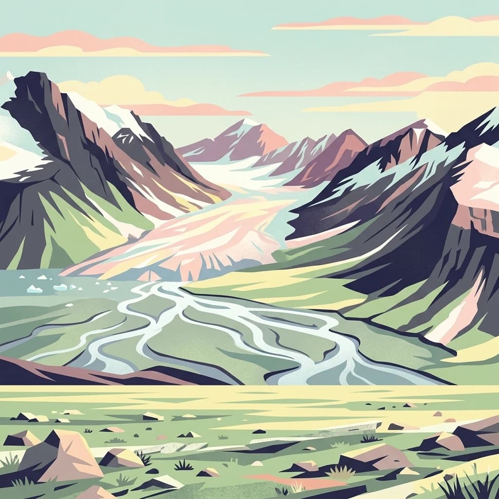
Lena Pillars, in Sakha Republic, Russia. Landscapes: rivers and cliffs.
- Area
- 13,870 km²
- IUCN
- II
- Relief
- Lowland
- Climate
- Subpolar
Compare protected geography across the Indigirka delta’s Arctic wetlands
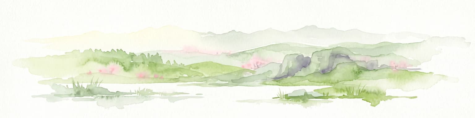
Kytalyk National Park spreads across the exceptionally low Yana-Indigirka Arctic plain, where delta channels, marshy tundra, shallow water, peat bogs, thermokarst hollows, ice-cored pingos, patterned mounds, and continuous permafrost define the terrain. The nearby map reveals surrounding Sakha protected records while keeping their bird habitats and ground conditions independent.

Arctic t sanctuary protecting critical breeding grounds for the critically endangered Siberian crane on the East Asian, Australasian Flyway
Kytalyk National Park is a vast protected area in northern Russia, established in 2020 in the Sakha Republic (Yakutia). The park occupies the low-lying tundra of the Indigirka River delta on the East Siberian Sea coast, spanning nearly 1.9 million hectares of Arctic coastal terrain. Its name derives from the Yakut language word for the Siberian crane, reflecting the park's profound significance as a critical breeding and nesting ground for this critically endangered species along the East Asian–Australasian Flyway. The landscape consists of marshy tundra, thermokarst depressions, pingos, and extensive peat bogs, with elevations averaging just 50 to 80 meters above sea level. Thisremote polar wilderness supports a specialized Arctic ecosystem adapted to extreme cold, permafrost conditions, and an extremely short growing season of only 60 to 90 days.
See the ranked park cluster in its geographic setting
Distance-ranked regional park geography and surrounding protected landscapes

Southwest
Explore the regional landscape and park boundaries.
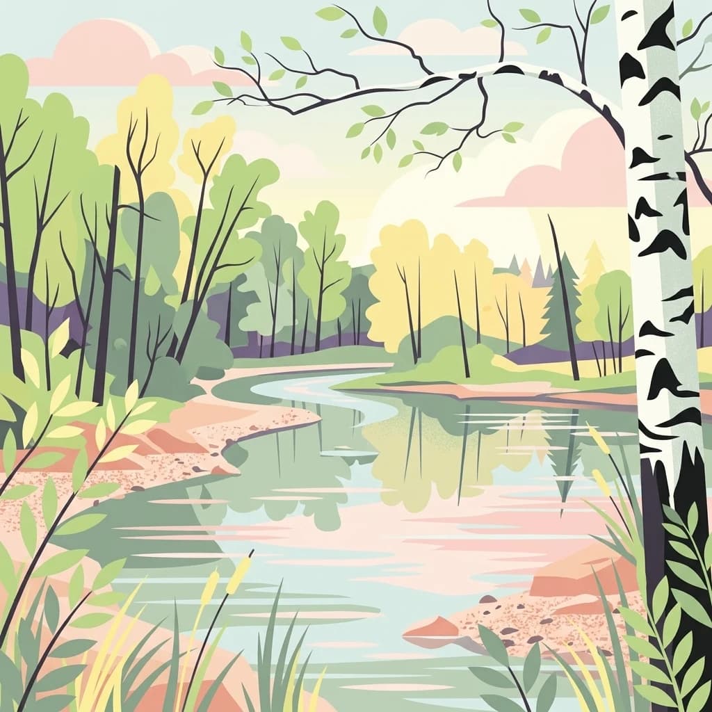
Lena Pillars, in Sakha Republic, Russia. Landscapes: rivers and cliffs.

Southwest
Explore the unique cliff-lined river corridors and boreal wilderness.
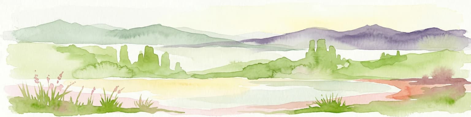
Lena Pillars National Park, in Sakha Republic, Russia. Landscapes: mountains, cliffs, and forests.

East
Explore protected boundaries and subarctic geographic features
Beringia National Park offers an expansive look at the subarctic ecosystems of the Chukchi Peninsula. This protected area preserves a unique terrain characterized by low-lying tundra plains and dramatic mountain ridges. Its position along the Bering Strait provides significant geographic context for understanding northern land connections and the remnants of ice age migrations within the Russian Arctic wilderness.

South
Mapping protected marine and island geography in Khabarovsk Krai.
Shantar Islands National Park represents a significant protected landscape within Khabarovsk Krai, notable for its dramatic coastal geography, mountainous terrain, and rich marine ecosystems. This national park, encompassing a chain of islands in the Sea of Okhotsk, is a vital habitat for marine mammals and seabird colonies. Explore its mapped boundaries and unique regional atlas context, understanding its role as a protected coastal area in the Russian Far East.

Southwest
National Park in Amur Oblast, Russia
Delve into the specifics of Tokinsko-Stanovoy National Park, a designated national park within Amur Oblast. This entry provides essential context on its protected landscape characteristics and its place in the regional geography. Understand the park's mapped boundaries and discover its natural terrain as part of a larger atlas-driven exploration of protected areas in the Russian Far East.
Southeast
Explore protected landscapes in Kamchatka Krai.
Commander Islands, in Kamchatka Krai, Russia. Landscapes: islands, cliffs, and volcanoes.

Southeast
Remote island geography within the Kamchatka Krai volcanic arc.
Spanning both the Commander Islands and a substantial marine buffer in the Bering Sea, this park defines a rugged frontier of tundra slopes, basalt sea stacks, and deep coastal bays. It serves as a primary site for marine conservation, where oceanic weather and volcanic rock shape a dramatic, remote landscape of significant geographic interest.

East
Explore mapped boundaries and natural terrain within Northwest Arctic Borough.
Kobuk Valley National Park, in Northwest Arctic Borough, United States of America. Landscapes: dunes, wetlands, and valleys.

Southwest
Analyzing alpine terrain and Siberian taiga ecosystems
Kodar National Park presents a striking array of Siberian ecosystems, including the northernmost desert environment known as the Chara Sands, extensive taiga forests, and rugged volcanic terrain on the Udokan Plateau. This geographic resource details the park's distinct sectors, tracing the boundaries of its alpine cirques, glaciers, and mountainous corridors that characterize the Zabaykalsky Krai landscape.

Northwest
Arctic Islands, Glacial Terrain, and Marine Mammal Habitats
Russian Arctic National Park preserves some of the planet's most remote and pristine Arctic environments across the Novaya Zemlya and Franz Josef Land archipelagos. This protected area offers unparalleled insight into Arctic geography, showcasing dramatic glacial landscapes, extensive seabird colonies, and critical feeding grounds for polar bears and bowhead whales. Explore the park's unique protected landscape and its significance within the broader atlas of global conservation efforts.

East
Explore mapped park boundaries and regional geographic context.
Delve into the protected landscape of Gates of the Arctic National Park and Preserve, a vast national park situated in Alaska. This entry offers a detailed perspective on its geographic setting, focusing on mapped boundaries and its significance as a protected area. Understand the scale and natural context of this remote wilderness for comprehensive atlas-based exploration.

Northwest
Regional geography and Arctic tundra mapping in Yamalo-Nenets
Focusing on the northern edge of Western Siberia, Гыданский национальный парк provides an expansive view of protected Arctic tundra and Kara Sea islands. This area is characterized by its low-lying terrain, intricate river systems, and vital role in global migratory bird flyways. The protected status covers both mainland tundra and fragmented offshore islands, creating a distinctive landscape profile that bridges continental wilderness with marine environments.

East
Subarctic wilderness tracking wetlands and boreal transitions
Spanning over one million acres in the Alaskan interior, Innoko Wilderness offers a unique look at a sprawling subarctic ecosystem. Dominated by muskeg, interconnected lakes, and the floodplains of the Yukon and Innoko Rivers, this protected area functions as a critical transition zone between interior forests and western tundra landscapes.

South
Ecological corridors from the Amur River to the Sikhote-Alin mountains.
Anyuysky National Park represents a critical, remote expanse in the Russian Far East. Its boundaries protect a continuous gradient of habitats, linking the flat wetlands of the Amur River floodplain with the forested slopes of the Sikhote-Alin highlands. The park serves as a key area for habitat preservation and environmental mapping.

Northeast
Explore mapped boundaries and regional context.
Ivvavik National Park is a designated national park within Yukon, representing a significant protected landscape. This page offers a focused exploration of its geographic identity, mapped boundaries, and its place within the broader atlas of Canada's natural areas. Understand Ivvavik National Park as a defined entity contributing to the regional geography and protected land distribution of Yukon.

Northeast
Understanding its mapped protected boundaries and regional geography.
Delve into the specifics of Vuntut National Park, a designated national park situated within the Yukon region. This detail offers a focused look at its protected landscape identity, providing critical context for its geographic boundaries and role as a mapped natural area. Users can explore the core attributes of Vuntut National Park to enrich their understanding of its contribution to the protected lands atlas and regional geography.

North
Mapped boundaries and regional context for this significant Arctic national park.
Gain a comprehensive understanding of Quttinirpaaq National Park, a protected national park located in the expansive region of Nunavut, Canada. This resource delves into the park's geographic identity, its mapped contours, and its position within the broader arctic landscape context. It is designed to support atlas-based exploration and a detailed appreciation of this protected area's unique setting within Northern Canada's geography.
Geographic measurements, not driving distances
Calculated between the nearest points of both park boundaries.
Estimated from one mapped park location to the nearest boundary of the other park.
Estimated between the mapped locations of both parks.
Deepen your knowledge of the Arctic coastal tundra by investigating the unique terrain and protected boundaries of Kytalyk National Park. MoriAtlas provides a clear view into this vast Siberian wilderness, helping you visualize the interplay between permafrost, wetlands, and rare wildlife habitats in the Sakha Republic.