Northwest
Alpine National Park
Mapping significant alpine, subalpine, and mountain wilderness landscapes.
Alpine National Park, in Australia. Landscapes: mountains, forests, and woodlands.
- Area
- 6,474 km²
- Established
- 1989
- IUCN
- II
- Relief
- Mountain
Explore the regional geography and mapped distribution of nearby protected landscapes
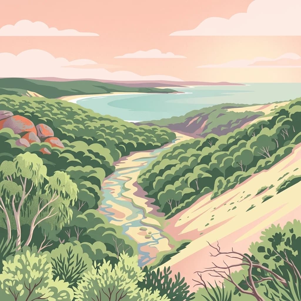
Examine the geographic distribution of parks and protected areas located in the vicinity of Mitchell River National Park. This overview provides a regional perspective on the protected landscapes and environmental terrain spanning the surrounding Victorian geography.

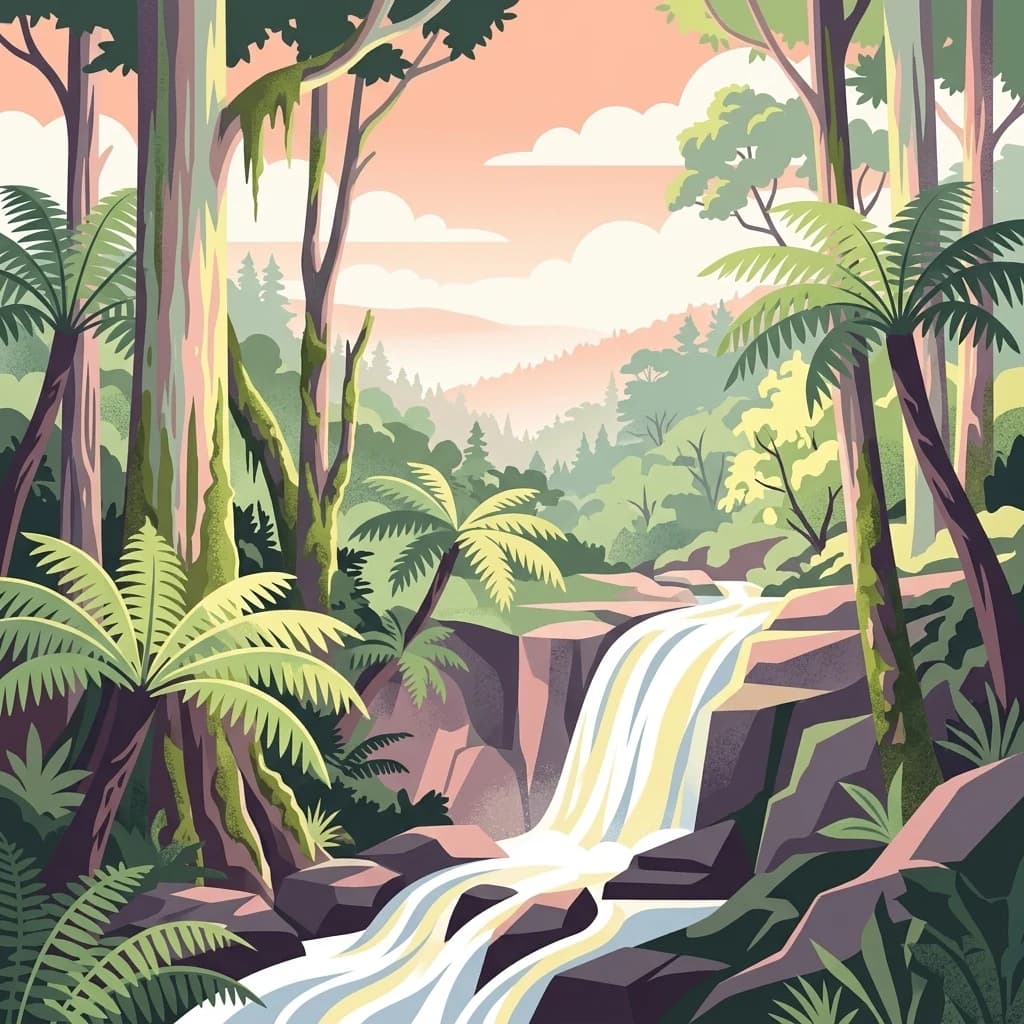
Victoria's largest unregulated river flowing through ancient gorges and rare warm-temperate rainforest
Mitchell River National Park is a significant protected area located in the Gippsland region of Victoria, Australia, approximately 320 kilometres east of Melbourne and 25 kilometres northwest of Bairnsdale. The park encompasses 14,250 hectares of diverse landscapes centered around the Mitchell River, which is the largest unregulated river in Victoria and provides a unique example of riparian ecology in southeastern Australia. The park features dramatic gorges and high cliffs where the river has carved its way through ancient rock strata, creating a landscape of exceptional natural beauty and ecological importance. A notable feature of the park is the presence of warm-temperate rainforest in some of the gorges, representing the southernmost occurrence of this forest type anywhere in the world, surviving due to the protective nature of the steep gorge walls that shield the vegetation from drying summer winds and periodic bushfires.
See the ranked park cluster in its geographic setting
Ranked distance relationships and regional park geography comparisons

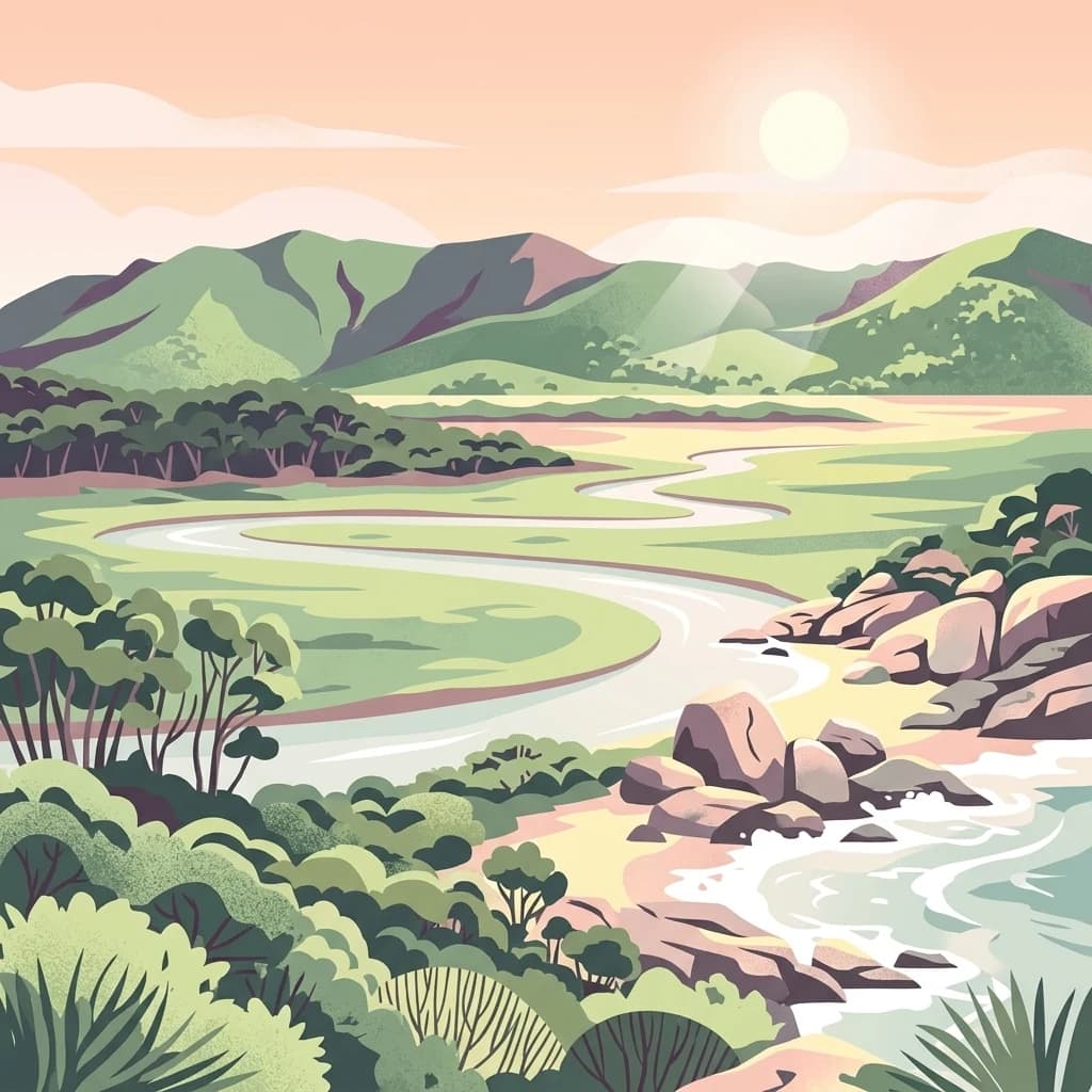
Northwest
Mapping significant alpine, subalpine, and mountain wilderness landscapes.
Alpine National Park, in Australia. Landscapes: mountains, forests, and woodlands.
West
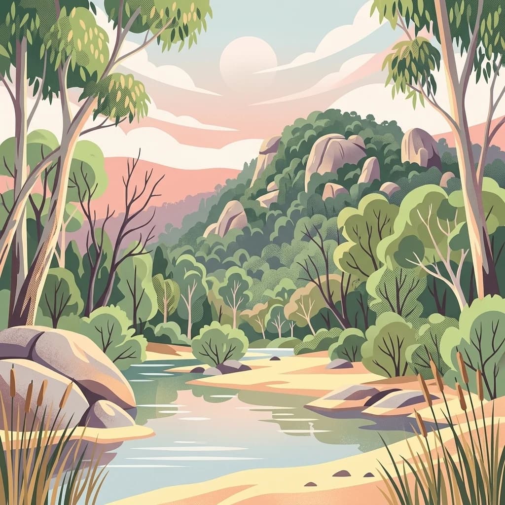
A remote wilderness reserve in the Victorian Alps highlands.
Avon Wilderness Park spans forty thousand hectares of continuous, roadless mountain forest and sub-alpine woodland. Serving as a crucial link in the Australian Alps conservation network, the reserve is characterized by steep, dissected terrain and tall eucalyptus canopy, preserved in an entirely undeveloped state without internal roads or infrastructure.

Southeast
Discover unique island habitats and mapped paperbark forests.
The Lakes National Park offers a unique exploration of coastal wetlands and their mapped geographic features. Situated within the Gippsland Lakes, this protected area showcases diverse island habitats and fringing paperbark forests. As a designated national park, its conservation legacy is evident in the preserved wetland systems and the ecological significance of areas like Rotamah Island, providing a distinct regional landscape for atlas discovery.
South
Mapped boundaries and temperate marine landscape context.
Ninety Mile Beach Marine National Park represents a significant commitment to marine conservation along the eastern Victorian coast. This protected area safeguards the underwater ecosystems adjacent to the celebrated Ninety Mile Beach, a nearly 100-kilometer stretch of continuous sandy shoreline. Its establishment in 2002 preserves the marine biodiversity and coastal landscape character of this region, forming an integral part of Victoria's network of protected coastal environments and offering a distinct view of Australia's marine geography.

East
Explore mapped terrain and vital alpine wilderness boundaries.
Snowy River National Park showcases Victoria's rugged natural geography with its dramatic mountain terrain and the spectacular Little River Gorge, the state's deepest. This national park, classified as a wilderness area for much of its expanse, protects critical habitats and diverse ecosystems across its mapped boundaries. Its significance as a protected landscape within the Australian Alps National Parks makes it a key destination for understanding regional geography and conservation efforts.

West
Discover Victoria's southernmost alpine wilderness.
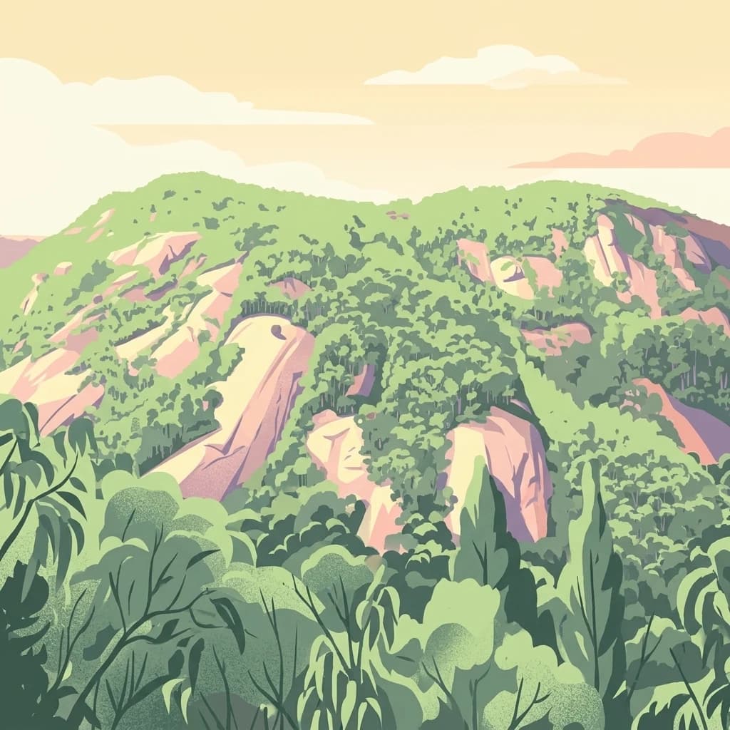
Baw Baw National Park offers a rare glimpse into Australia's subalpine environment, characterized by striking granite boulder formations and iconic snow gum forests. As a protected national park, it safeguards unique ecosystems and habitats, including those for critically endangered species. This atlas entry details the park's distinctive landscape, its mapped boundaries, and its geographic significance as the southern edge of mainland alpine terrain.

Northwest
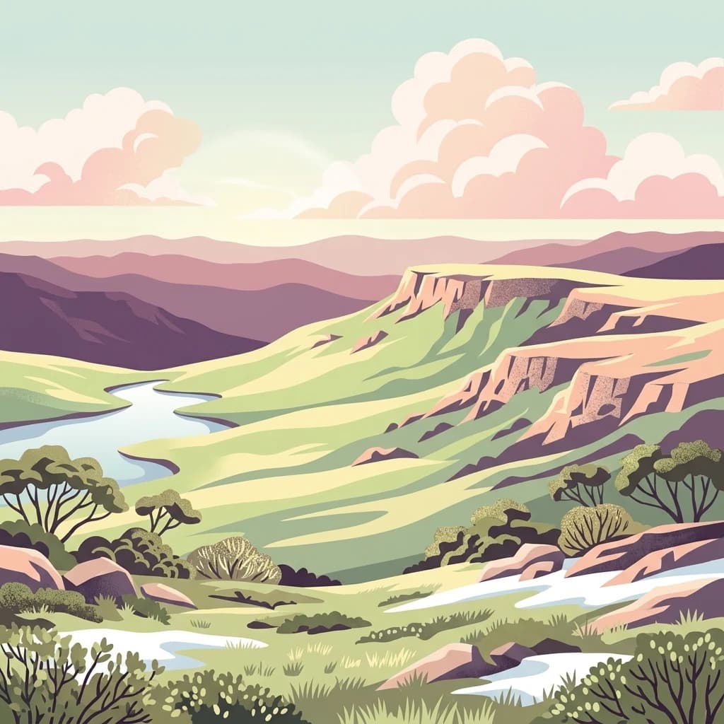
Mapped Protected Landscape and Geographic Context
Mount Buffalo National Park represents a significant protected area within Victoria, Australia, celebrated for its distinctive granite plateau. This national park, one of Australia's oldest, features dramatic rock formations, tors, and the iconic summit of The Horn, offering panoramic vistas across the alpine landscape. Its elevation of approximately 1,723 meters supports a variety of ecosystems, from forested slopes to alpine grasslands. The park's unique geology and its role as a protected landscape make it a key destination for understanding regional Australian geography and conservation history.

West
Explore mapped boundaries and vital water catchment landscapes.
Yarra Ranges National Park in Victoria, Australia, represents a significant protected landscape within the Great Dividing Range. It is renowned for its exceptionally tall mountain ash forests, which are vital carbon stores and habitats, and its critical function as a water catchment area for Melbourne. This park offers a deep dive into a unique geographic setting defined by diverse mountain terrain, temperate rainforests, and subalpine environments, all preserved for their ecological and water security importance.

Southwest
Explore mapped fern gullies and temperate rainforest ecosystems.
Tarra-Bulga National Park is a protected national park in Victoria, Australia, renowned for its spectacular old-growth mountain ash forests and lush fern gullies. This significant fragment of temperate rainforest offers a unique window into the region's natural heritage and geographic past. Discover the mapped landscape character, including towering trees and vibrant undergrowth, making it a key destination for protected-area exploration.

Northeast
Discover unique glacial landscapes and geographic context in New South Wales.
Kosciuszko National Park, in New South Wales, Australia. Landscapes: mountains, valleys, and lakes.
Southwest
Explore the mapped terrain and unique forest ecosystems.
Morwell National Park, an Australian national park in the Strzelecki Ranges, is celebrated for its extraordinary plant and animal diversity within a concentrated area. The park preserves critical wet sclerophyll forests and delicate temperate rainforest pockets within deep gullies, offering a distinct landscape character. Its establishment reflects a significant community-driven conservation effort, making it a valuable site for understanding regional protected-area geography and landscape richness.

West
Explore mapped terrain and diverse eucalypt forests.
Lake Eildon National Park in Victoria's Central Highlands offers a unique protected landscape shaped by ancient volcanic activity and the region's gold rush era. This national park, centered around the large Lake Eildon reservoir, provides critical habitat within its diverse eucalypt forests. Discover its geological significance, historical mining sites, and mapped boundaries, offering a comprehensive view of its protected-area identity and regional geographic context.
East
Explore the protected landscape and natural terrain of this Australian national park.
Errinundra National Park offers a unique window into Australia's protected natural areas. This detailed view focuses on its role as a national park, providing structured information on its geographic footprint, mapped terrain, and position within the broader Australian landscape. Understand Errinundra National Park as a distinct entity for atlas-based discovery, focusing on its protected land characteristics and geographic context without visitor logistics.
East
Explore mapped boundaries and forested terrain within this early national park.
Lind National Park, established in 1925, is a key protected area in Victoria, Australia, preserving the characteristic forested landscapes of East Gippsland. Spanning 1,370 hectares, it offers a tangible connection to the state's early conservation efforts. The park's terrain is defined by temperate forest, characteristic of eastern Victoria's undulating geography, providing a clear example of protected woodland adjacent to the Princes Highway corridor. Its historical designation underscores its importance in the region's network of natural reserves and mapped landscapes.

East
Explore Victoria's protected wilderness, mapped coastlines, and diverse ecosystems.
Croajingolong National Park is a key protected area in Victoria, Australia, recognized globally as a UNESCO World Biosphere Reserve. This vast national park offers a detailed look at coastal wilderness, characterized by its extensive sandy beaches, rugged rocky headlands, dynamic dunes, and rich heathland ecosystems. Its position along the Tasman Sea coastline provides significant geographic context, forming a vital part of southeastern Australia's protected landscapes and offering unique opportunities for atlas-driven exploration of its mapped terrain and biodiversity.

Southwest
Mapped geography of a dramatic coastal and wilderness park.
Wilsons Promontory National Park, situated at Australia's southern mainland extremity, represents a significant protected landscape. The park's geography is defined by ancient granite formations, creating dramatic peaks and headlands that meet the Bass Strait. Within its boundaries, diverse ecosystems flourish, including rare temperate rainforests and heathy woodlands. This page provides detailed geographic context and atlas-style discovery for this iconic protected area.
Southwest
Explore tidal wetlands and marine protected area geography.
Corner Inlet Marine National Park is a designated marine protected area in South Gippsland, Victoria, renowned for its ecological importance as part of a Ramsar-listed wetland. This park encompasses the waters and extensive intertidal zones of Corner Inlet, featuring vital seagrass beds and tidal marshes. Its protected status highlights its significance within Australia's marine park network, offering a clear example of coastal inlet conservation and regional landscape context for map-based exploration.

North
Explore its protected areas and regional geographic context.
Chiltern-Mt Pilot National Park preserves a significant portion of Victoria's box-ironbark forest, an ecosystem vital for threatened species and rich biodiversity. This park showcases varied terrain, from sedimentary hills to granite landscapes, offering a compelling subject for geographic study. Understand its mapped extent and its role within the broader regional geography, providing deep insights for atlas-based exploration.

North
Explore its mapped boundaries and unique regional geography.
Burrowa-Pine Mountain National Park stands as a prominent protected wilderness in Victoria, Australia, renowned for its spectacular geological features. The park is dominated by the colossal Pine Mountain, a massive sandstone monolith that commands the landscape, and the elevated Mount Burrowa, offering expansive vistas across the Victorian Alps. Its mountainous terrain, characterized by rocky ridgelines and alpine forests, makes it a distinctive destination for understanding Australia's natural and geographic heritage. Discover the mapped extent and landscape character of this important national park.
South
Submerged continental shelf and Bassian Plain geography
The Beagle Commonwealth Marine Reserve protects nearly 3,000 square kilometres of the Bass Strait seabed. This site offers deep insight into the region's submerged landscape history, featuring geological remnants of the ancient Bassian Plain and a series of rugged island archipelagos that frame this temperate marine environment.
Geographic measurements, not driving distances
Calculated between the nearest points of both park boundaries.
Estimated from one mapped park location to the nearest boundary of the other park.
Estimated between the mapped locations of both parks.
Trace the course of the Mitchell River through its deep gorges and ancient rock formations. MoriAtlas provides a structured look at the ecological significance and mapped boundaries of this unique protected area, helping you understand the complex relationship between the region's climate, topography, and native forest ecosystems.