Mori Atlas logo
Nearby park discovery

Regional mapping and geographic distribution of protected terrain surrounding the park

National Parks and Protected Landscapes Located Near Monfragüe National Park in Extremadura

Explore the broader regional geography and distribution of protected areas located in the vicinity of Monfragüe National Park. This overview provides mapped context for neighboring natural landscapes and protected terrain across the Extremadura region, helping to visualize the proximity and spatial relationship of these ecological zones.

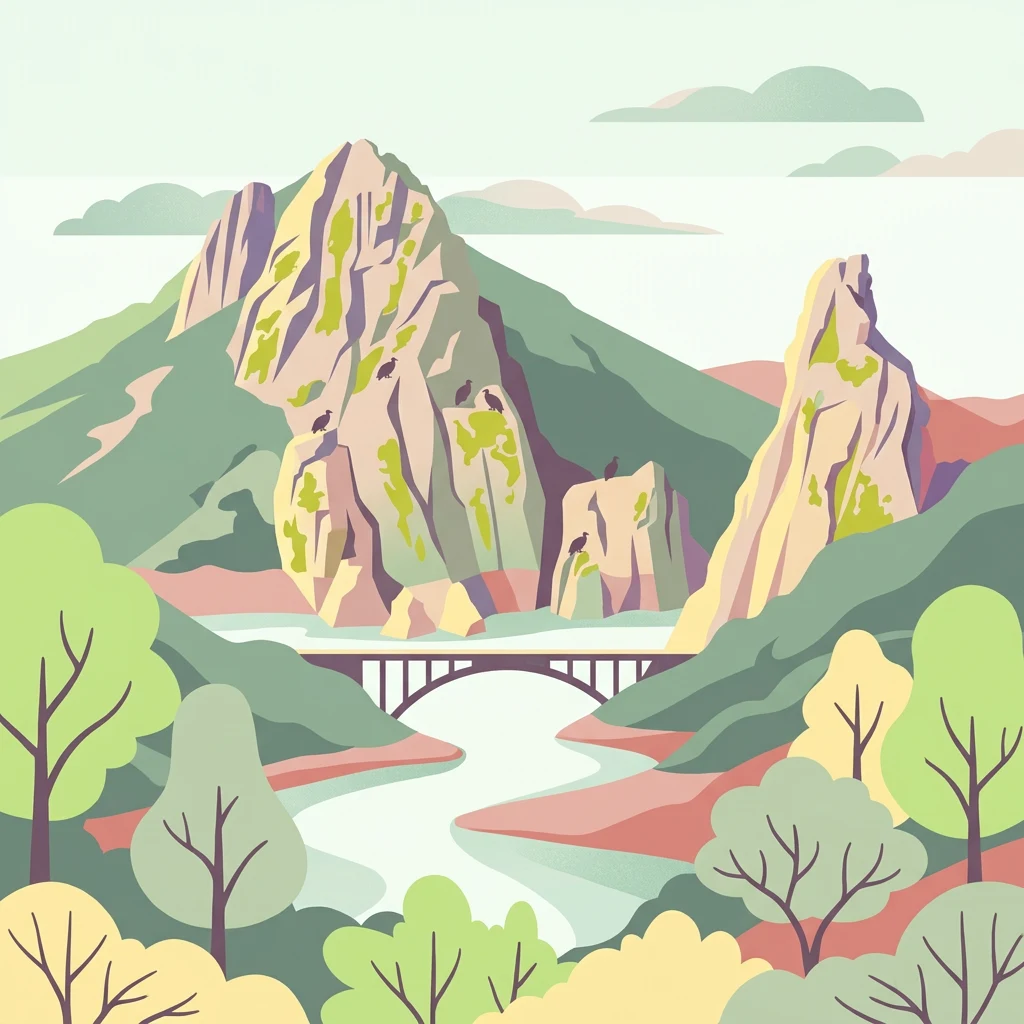
Illustration of a river flowing through a mountainous landscape with a bridge and green trees

Raptor capital of Europe in the heart of Extremadura

Monfragüe National Park

Monfragüe National Park is a protected area in western Spain, situated in the province of Cáceres within the autonomous community of Extremadura. The park occupies a landscape defined by dramatic river valleys where the Tagus (Tajo) and Tiétar rivers have cut through a long mountainous ridge, creating spectacular cliffs and rock faces that serve as nesting sites for one of Europe's most impressive concentrations of birds of prey. Established as a national park in 2007 after decades as a natural park and Special Protection Area, Monfragüe protects a Mediterranean ecosystem of scrubland, oak dehesas, and rocky outcrops that support extraordinary biodiversity. The park lies in the center of a triangle formed by the historic towns of Plasencia, Trujillo, and Cáceres, with its landscape dominated by the iconic Peña Falcon cliff on the western side and the ruins of Monfragüe Castle on the eastern slope.

Location
Spain
Park type
National park
Established
2007
Area
179 km²
Monfragüe National Park Protected Landscape
Regional park map

See the ranked park cluster in its geographic setting

Nearby parks around Monfragüe National Park

This regional map shows the same 20 nearby parks ranked below around Monfragüe National Park. Select a ranked marker to highlight that park’s boundary where boundary data is available.
Reference park: Monfragüe National ParkRanked nearby parkSelected boundary: Monfragüe National Park20 nearby parks shown
20 nearby parks

Geographic proximity and surrounding regional landscape comparisons

Ranked Protected Areas and Parks Near Monfragüe National Park

Examine the ranked collection of nearby protected areas surrounding Monfragüe National Park by measuring direct geographic separation and spatial direction. Analyzing these surrounding landscapes reveals diverse regional ecosystems and protected-area patterns without assuming identical environmental traits.
Watercolor painting of a river flowing through rolling hills with green fields and trees
National parkSpain
Mapped location lies within the park boundary#1 closest

Monfragüe National Park: Protected Landscape Atlas of Spanish Raptor Colonies

Explore mapped terrain and regional geography within this Spanish National Park.

As a national park in Spain's Extremadura region, Monfragüe National Park offers a distinct protected landscape shaped by the Tagus River and dramatic limestone cliffs. It is globally recognized for its exceptional birdlife, especially its large griffon vulture colonies and populations of Spanish imperial eagles, making it a significant site for ecological study and atlas-based exploration of protected areas. The park's landscape, characterized by Mediterranean woodlands and rugged terrain, provides crucial habitat and a unique geographic context for understanding Iberian Peninsula conservation.

IUCN
II
Scope
Terrestrial
Biosphere reserveExtremadura
About 82 km away#2 closest

Southeast

La Siberia Biosphere Reserve: Mapped Geography and Protected Lands of Extremadura

A study of reservoir coastlines and Mediterranean serranías

La Siberia Biosphere Reserve offers a deep look into the rural landscape of Extremadura, Spain. Characterized by five major reservoirs and vast Mediterranean oak dehesas, the area provides essential habitat for raptors and preserves significant prehistoric rock art within its complex serranía topography. Explore the geographic boundaries and water-dominated landscape of this distinct inland region.

Area
2,836.7 km²
Established
2019
Relief
Mountain
Climate
Mediterranean
Watercolor painting showing green fields, scattered trees, and distant mountains under a light sky
National parkToledo Province
94 km away#3 closest

East

Cabañeros National Park: Spain's Premier Iberian Oak Woodland Protected Landscape

Mapped Geography of Montes de Toledo Protected Area

Cabañeros National Park is celebrated as the most extensive and well-conserved example of Iberian Mediterranean forest in Spain. Situated within the Montes de Toledo, the park features a remarkable dichotomy between its unique raña flatlands and mountainous sierras, harboring ancient oak woodlands and significant biodiversity. This national park serves as a crucial component of the region's geographic context and a prime destination for atlas-based discovery of protected landscapes.

Area
409 km²
Established
1995
IUCN
II
Visitors
104.6K annual
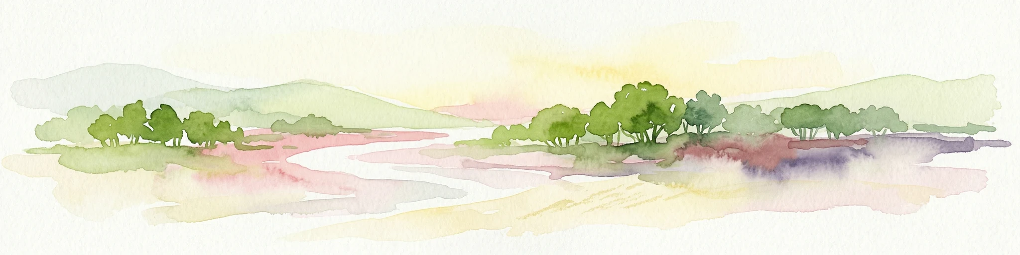
Watercolor illustration of a landscape with green hills, scattered trees, and distant mountains under a pink and yellow sky
Protected landscapePortalegre District
110 km away#4 closest

Southwest

Serra de São Mamede Natural Park: A Protected Landscape Defined by Ecological Transition

Explore the unique mountain terrain and ecosystems of Portalegre District.

Delve into the geographic and ecological identity of Serra de São Mamede Natural Park, a significant protected landscape situated in Portugal's Portalegre District. This area is renowned for its dramatic quartzite ridges and its role as a crucial meeting point for Atlantic and Mediterranean plant communities, offering a unique atlas perspective on regional biodiversity. Examining its mapped boundaries and diverse terrain provides essential context for understanding its ecological importance and its distinct position within the Alentejo region's geography.

Area
560.6 km²
Established
1989
IUCN
V
Visitors
4.5K annual
Watercolor illustration of a landscape with green mountains, a body of water, and colorful wildflowers in the foreground
Nature reservePortugal
124 km away#5 closest

Northwest

Serra da Estrela Natural Park: Glacial Terrain and Highest Peaks in Portugal

Explore the dramatic geography of this nature reserve.

Serra da Estrela Natural Park is a significant protected landscape in Portugal, celebrated for containing the nation's highest peak and exceptional Quaternary glacial formations. The park's terrain includes dramatic valleys carved by ice, numerous glacial lakes, and a stark alpine plateau around Torre. This nature reserve preserves a unique environment shaped by both geological history and traditional pastoralism, offering rich mapped context for understanding Portugal's mountainous geography and protected areas.

Area
891.32 km²
Established
1976
IUCN
V
Visitors
7.6K annual
Watercolor illustration depicting a mountain range, river, and green vegetation under a light sky
National parkSpain
178 km away#6 closest

Northeast

Sierra de Guadarrama National Park: Protected Area Landscape and Geographic Context

Explore diverse high Mediterranean mountain terrain and ecosystems.

Sierra de Guadarrama National Park is a significant protected national park in central Spain, characterized by its extensive granite landscapes and eleven distinct ecosystems. This park protects crucial high Mediterranean mountain environments, ancient pine forests, and dramatic glacial formations. Its geographic position within the Sistema Central makes it essential for understanding the regional geography and mapped terrain of the Iberian Peninsula, offering a unique look at a vital protected landscape.

Area
339.6 km²
Established
2013
IUCN
II
Visitors
3M annual
Watercolor illustration showing a wetland landscape with grasses, a body of water, and distant hills
National parkSpain
183 km away#7 closest

East

Tablas de Daimiel National Park: Spain's Inland Wetland National Park and Protected Area

Explore mapped boundaries and regional geographic context.

Tablas de Daimiel National Park represents one of the last remaining examples of floodplain wetland systems in Spain's interior. Located in Castilla-La Mancha, this protected area showcases a unique confluence of fresh and brackish waters, supporting a rich mosaic of emergent vegetation and serving as a critical habitat for migratory birds. Use MoriAtlas to explore its precise geographic setting, mapped terrain, and its role as a vital conservation landscape within the Iberian Peninsula.

Area
30.3 km²
Established
1973
IUCN
II
Relief
Lowland
Watercolor depiction of green hills, a small pond, and distant mountains under a soft sky.
Protected landscapeBragança District
210 km away#8 closest

North

Montesinho Natural Park: Protected Landscape in Bragança District, Portugal

Explore mapped boundaries and regional landscape context.

Montesinho Natural Park is designated as a protected landscape in northeastern Portugal, located within the administrative region of Bragança District. This page serves as an entry point to understanding the park's protected area characteristics, its mapped geographic footprint, and its role in the broader natural landscape of the Trás-os-Montes region. Discover the atlas value of this significant protected territory and its relation to surrounding geography.

Area
742.25 km²
Established
1979
IUCN
V
Relief
Mountain
Watercolor illustration of a landscape with rolling hills, a body of water, and vegetation
Protected landscapePortugal
215 km away#9 closest

West

Aire and Candeeiros Ranges Natural Park: Protected Landscape and Regional Geographic Context

Explore the mapped boundaries and natural landscape of this Portuguese protected area.

Understand the Aire and Candeeiros Ranges Natural Park as a key protected landscape in Portugal. This page offers detailed geographic information, focusing on the park's mapped boundaries and its intrinsic connection to the surrounding regional geography. It serves as a portal for atlas exploration, providing structured data for users interested in the specific protected area and its landscape characteristics within the Iberian Peninsula.

Area
383.93 km²
Established
1979
IUCN
V
Visitors
31.9K annual
Watercolor landscape illustration featuring mountains, forests, fields, and trees
Protected areaPortugal
215 km away#10 closest

Northwest

Alvão Natural Park Protected Area: Atlas Exploration of Northern Portugal's Mountain Geography

Discover dramatic landscapes and mapped terrain.

Alvão Natural Park is a protected area in northern Portugal distinguished by its stark geological contrasts: upper granite plateaus and steep schist lowlands. This unique geography supports diverse ecosystems and features the impressive Fisgas de Ermelo waterfall. Explore the park's mapped boundaries and its role as a significant protected landscape within the region, offering rich context for any geographic exploration.

Area
72.03 km²
Established
1983
IUCN
V
Visitors
29.6K annual
Biosphere reserveMadrid
231 km away#11 closest

Northeast

Sierra del Rincón Biosphere Reserve: Mountain Geography and Protected Landscape Analysis

Transitional mountain terrain in the Sierra Norte region of Madrid

Sierra del Rincón provides a unique study of ecological compression, where Atlantic-flavored beech groves meet Mediterranean oak and highland shrublands. This protected mountain territory in Madrid integrates rich forest habitats with traditional agro-silvopastoral village life, making it a critical reference for understanding the transitional geography of the Iberian Central System.

Area
152.31 km²
Established
2005
Relief
Mountain
Climate
Alpine
Watercolor illustration showing a river flowing through a valley with hills and vegetation
Protected landscapeBeja District
255 km away#12 closest

Southwest

Guadiana Valley Natural Park: Protected Landscape Discovery in Beja District

Explore its mapped geography and protected land context.

Guadiana Valley Natural Park is identified as a protected landscape, providing a specific focus for geographic study and map-based exploration. This entry details the park's unique protected-area status and its contextual placement within the expansive Beja District of southern Portugal. Understand the mapped boundaries and landscape features that define this area, serving as a key point for regional geographic understanding on MoriAtlas.

Area
697 km²
Established
1995
IUCN
V
Visitors
749 annual
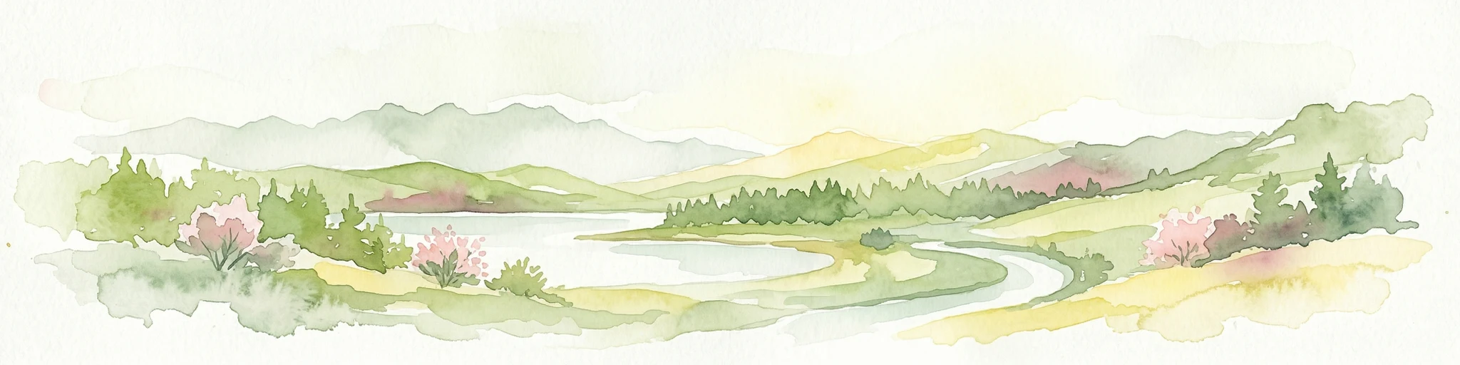
Watercolor illustration of a river winding through a valley with mountains, forests, and pink flowering trees.
National parkPortugal
258 km away#13 closest

Northwest

Peneda-Gerês National Park: A Distinct Protected Landscape in Northern Portugal

Granite peaks, glacial valleys, and cultural heritage mapped.

Peneda-Gerês National Park represents a cornerstone of protected landscapes in Portugal, celebrated for its rugged granite mountains and deep glacial valleys sculpted over millennia. This national park showcases a rare ecological transition zone with unique endemic species and features dramatic waterfalls and pristine river systems. The park's rich cultural tapestry, interwoven with its natural environment, offers a compelling subject for atlas-based geographic discovery and landscape exploration.

Area
695.93 km²
Established
1971
IUCN
II
Visitors
92.8K annual
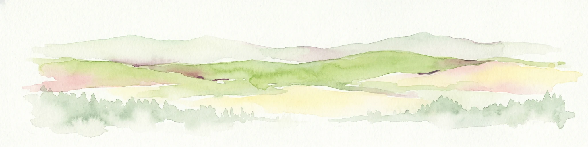
Watercolor illustration showing rolling hills, greenery, and distant mountains under a light sky.
Protected landscapePortugal
280 km away#14 closest

Southwest

Arrábida Natural Park: Protected Landscape Atlas and Geographic Context in Portugal

Mapped boundaries of this key Portuguese protected area.

Arrábida Natural Park is presented here as a significant protected landscape, offering rich details for geographic exploration and atlas-based research. Users can investigate its specific mapped boundaries, understand its environmental setting within Portugal, and utilize this data for comparative analysis of protected areas. This resource focuses on the park's inherent geographic identity and its role as a defined natural landscape.

Area
176.41 km²
Established
1976
IUCN
V
Visitors
23.1K annual
Biosphere reserveGalicia
281 km away#15 closest

Northwest

Área de Allariz Biosphere Reserve: Mapping the Protected Landscapes of Inland Galicia

Exploring the river basins, granitic massifs, and ecological frontiers

The Área de Allariz biosphere reserve serves as a vital transition zone in northwestern Spain, characterized by its flat-floored tectonic basin, the River Limia, and varied highland terrain. This protected area offers an instructive look at the integration of traditional rural land management with large-scale ecological recovery and conservation across its core, buffer, and transition zones.

Area
214.82 km²
Established
2005
Relief
Mixed relief
Scope
Terrestrial
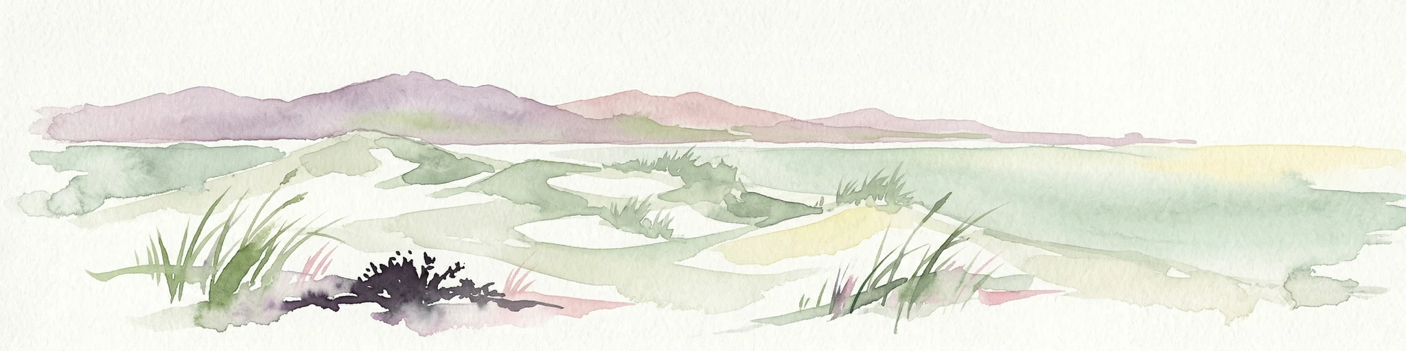
Watercolor painting of sandy dunes with patches of grass, distant mountains, and a body of water under a light sky
Protected landscapeEsposende
286 km away#16 closest

Northwest

Northern Littoral Natural Park Protected Landscape: Geographic Discovery and Atlas Context

Mapped protected areas and regional landscape discovery near Esposende.

Uncover the geographic identity of Northern Littoral Natural Park, a key protected landscape situated near Esposende. This MoriAtlas entry focuses on its mapped boundaries and regional significance, providing a factual basis for understanding its role within Portugal's network of protected areas. Explore the park's natural terrain and its context within the broader geography of the Norte region for comprehensive atlas-based discovery.

Area
87.62 km²
Established
1987
IUCN
V
Relief
Lowland
Watercolor illustration of a river flowing through wetlands with trees and distant hills
National parkHuelva
290 km away#17 closest

South

Doñana National Park National Park: Mapped Geography and Protected Landscape Context

Explore Huelva's key protected area and its regional geographic setting.

Delve into the structured geographic data and mapped boundaries of Doñana National Park. This entry highlights its identity as a national park within the Huelva region, providing essential context for understanding its protected landscape. MoriAtlas offers this detail to facilitate a clear, atlas-driven exploration of its natural terrain and its place in the broader geographic framework of Spain.

Area
543 km²
Established
1969
IUCN
II
Visitors
376.3K annual
Watercolor painting showing rolling coastal hills with green vegetation, a body of water, and distant mountains under a light sky
Protected landscapeLisbon District
302 km away#18 closest

West

Sintra-Cascais Natural Park: Mapped Protected Landscape in Lisbon District, Portugal

Explore Atlantic coast geography and historic palatial terrain.

The Sintra-Cascais Natural Park is a designated protected landscape in Portugal's Lisbon District, renowned for its fusion of natural beauty and historical architecture. This page offers an atlas-style exploration of its mapped boundaries, showcasing the unique Serra de Sintra mountain range meeting the Atlantic coast. Discover the protected area's geographic features, from its lush forested slopes crowned with iconic palaces to the dramatic cliffs and beaches of Cabo da Roca, providing essential context for understanding this distinctive Portuguese natural landscape.

Area
144.51 km²
Established
1981
IUCN
V
Visitors
43.5K annual
Protected landscapeCastilla y León
302 km away#19 closest

Northeast

Sabinares del Arlanza-La Yecla: A Detailed Protected Landscape and Map of Burgos

Ancient juniper woodlands and deep limestone ravines in Castilla y León.

This protected area centers on the remarkable juniper forests and the narrow, vertical walls of the La Yecla gorge. The landscape serves as an essential habitat for cliff-nesting raptors while bridging the terrain between the Sierra de la Demanda foothills and the Arlanza River basin. The map captures the geological diversity of these limestone structures and the expansive botanical value found within this significant Spanish natural entity.

Area
391.74 km²
Established
2020
IUCN
V
Relief
Upland
Biosphere reserveProvincia de León
305 km away#20 closest

North

Reserva de la biosfera de los Ancares Leoneses: Protected Mountain Terrain and Atlas

Mapping the Sierra de Ancares river valleys in Provincia de León

Examine the geographic layout and protected boundaries of the Reserva de la biosfera de los Ancares Leoneses. This biosphere reserve serves as a critical mountain corridor, featuring complex river basins and diverse forest cover that highlight the region's environmental and cultural history across the Spanish highlands.

Area
567.86 km²
Established
2006
Relief
Mountain
Scope
Terrestrial
Distance methodology

Geographic measurements, not driving distances

How nearby park distances are calculated

Distances use park boundaries whenever the available geometry allows it. When one or both boundaries are missing, the mapped park locations provide a clearly labelled estimate. Every value represents straight-line geographic separation and does not use roads or routing.

Boundary distance

Calculated between the nearest points of both park boundaries.

Location-to-boundary estimate

Estimated from one mapped park location to the nearest boundary of the other park.

Mapped-location estimate

Estimated between the mapped locations of both parks.

MoriAtlas Explorer

Continue Exploring Monfragüe National Park's Mapped Geography and Protected Landscape Identity

Delve deeper into the specific geography and protected landscape of Monfragüe National Park within the Extremadura region. Understanding its unique terrain, mapped boundaries, and role as a vital avian habitat provides crucial context for appreciating this significant protected area. Use MoriAtlas to connect this park's specific natural characteristics with its broader regional and national geographic setting.