South
Etosha National Park
Discover its protected boundaries and geographic context.
Etosha National Park, in Kunene Region, Namibia. Landscapes: karst, deserts, and hills.
- Area
- 22,270 km²
- Established
- 1907
- IUCN
- II
- Visitors
- 200K annual
A geographic exploration of mapped protected lands near this wetland system
Identify protected landscapes and conservation areas situated in the proximity of the Oshana-System in north-central Namibia. This atlas view provides a mapped perspective of regional terrain, highlighting the geographic relationship between this seasonal wetland and nearby protected environments. Use these data to analyze the distribution of inland habitats across the broader basin.

A vast seasonal wetland network of shallow channels defining north-central Namibia.
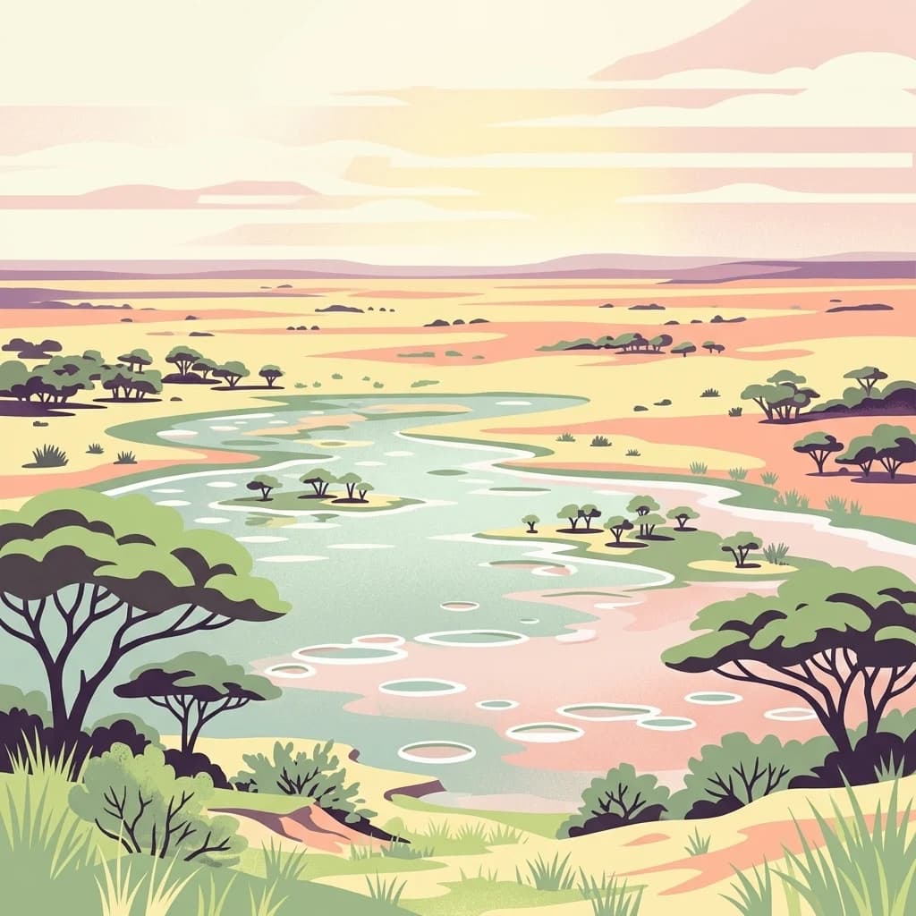
The Oshana System, also known as the Cuvelai System or Cuvelai Wetland, is one of the defining geographical features of north-central Namibia. It is a broad, branching network of shallow, low-gradient drainage channels known locally as iishana (singular oshana) that flow in a generally north-to-south direction across the eponymous Oshana Region. The system originates in southern Angola on the Bié Plateau and terminates at the northern shore of the Etosha Pan, spanning from Ruacana in the west to Ondangwa in the east. The landscape is shaped by the seasonal flooding cycle known as the efundja. After heavy rains in Angola and northern Namibia, the channels fill with water and overflow into surrounding depressions, transforming more than 30,000 square kilometres into a temporary wetland, the largest freshwater habitat of its kind in the country. During dry periods, the oshanas become open, grassy, mostly vegetation-free pans bordered by mopane woodland and makalani palms. Beyond its ecological role, the Oshana System is the lifeline of the Ovambo people, supporting subsistence farming, livestock grazing, and traditional fisheries during flood periods. Because the sandy soils of the region retain little moisture, floodwater is essential for recharging groundwater, sustaining pastures, and enabling cultivation of maize, millet, melons, and beans. Today, increasing settlement pressure in flood-prone areas has made the region vulnerable to both drought and increasingly damaging floods.

See the ranked park cluster in its geographic setting
Geographic proximity and surrounding protected landscapes relative to Oshana-System

South
Discover its protected boundaries and geographic context.
Etosha National Park, in Kunene Region, Namibia. Landscapes: karst, deserts, and hills.

North
Discover the mapped terrain and boundaries in Cunene Province.
Mupa National Park is a vital protected area within Cunene Province, Angola, serving as a key component of the region's conservation atlas. This national park represents a distinct geographic entity, offering detailed insights into its mapped landscape and protected boundaries. Users can explore Mupa National Park to understand its specific contribution to the protected lands of southern Angola and to appreciate its unique position within the broader regional geography and natural terrain.
West
Explore the geographic extent and regional context of this national park.
Iona National Park stands as a protected natural area within the administrative region of Namibe Province, Angola. This atlas-focused entry provides detailed insights into the park's mapped boundaries, its regional geographic positioning, and its role as a conservation landscape. Users can engage with specific data to understand the terrain and protected land distribution within this significant Angolan national park.

Southeast
Central Namibia's ancient plateau and savanna terrain.
Waterberg Plateau Park stands as a defining geological feature of the Namibian landscape. This national park is centered on a dramatic table mountain that creates a distinct ecological island above the surrounding Kalahari basin. Renowned for its ancient rock formations and successful conservation efforts, the area provides a vital protected boundary for endangered species and a significant focus for regional geographic exploration.

Southwest
Mapped landscape, shipwrecks, and profound geographic isolation.
Delve into the Skeleton Coast National Park, a monumental protected area in Namibia defined by its stark desert and ocean interface. This page provides detailed geographic context for the park's vast expanse, highlighting its characteristic shipwrecks and the dramatic landscape where towering sand dunes confront the cold Atlantic. Understand the unique protected-area identity of this legendary coastal wilderness through its mapped features and remote setting.

North
Mapped boundaries and geographic context for Bicuar National Park.
Bicuar National Park represents a distinct protected area within Angola, offering valuable insights into the nation's natural geography. As a designated national park, its mapped boundaries are crucial for understanding its spatial extent and ecological significance. This resource supports detailed atlas exploration, allowing for a deeper appreciation of the park's landscape and its role within the regional context of Southern Africa.
South
Ecological terrain and historical mountain setting in Otjozondjupa.
Situated in the heart of Namibia, Okonjati Game Reserve represents a significant private conservation effort centered on the Etjo massif. This 360 square kilometer protected landscape features a blend of rocky uplands and savanna plains, providing a unique habitat for rhinoceroses, elephants, and hippopotamuses while preserving fossilized dinosaur tracks and modern historical landmarks.
East
Explore mapped boundaries within Namibia's arid terrain.
Mangetti National Park serves as a crucial protected area, offering insights into Namibia's unique geography and conservation landscapes. Delve into the mapped extent of this national park, understanding its specific location and its contribution to the atlas of protected lands in southern Africa. Examine its geographic character and the context it provides for appreciating the country's natural heritage.
East
Explore mapped boundaries and regional context of this national park.
Mavinga National Park stands as a designated protected area within Angola, offering insights into the nation's natural landscapes and conservation efforts. This entry details the park's geographic footprint and its role as a national park. It provides users with essential map-based discovery tools to understand the park's setting, its physical geography, and its significance as a protected natural landscape in southern Africa.

South
Explore mapped landscapes and regional geography.
Dorob National Park is a prime example of a protected coastal desert landscape, stretching along Namibia's Atlantic coast. This national park is renowned for its significant bird populations, making it an Important Bird Area with extensive mapped habitats supporting diverse species. Understand the park's geographic context, from its dramatic dunes to its ephemeral river systems, and its role as a key conservation area within the region.
Northwest
Southwestern Angola Wildlife Reserve Geography
Namibe Partial Reserve encompasses vast desert dunes and unique arid plains in southwestern Angola. The protected area offers a look at the ecological character of the Kaokoveld Desert, highlighting the natural geography and boundary context of this significant wildlife reserve within the region.

South
Geographic overview of the Otjozondjupa recreation reserve.
The Von-Bach-Erholungsgebiet landscape defines a unique intersection between the northern Eros Mountain foothills and the Von-Bach Dam reservoir. Characterized by khaki bushveld, scattered acacia, and rolling ridges, this protected area serves as a primary hub for water-based recreation and bushland exploration in central Namibia.

South
Central Namibia thermal spring and historic natural monument
Gross Barmen is a state-managed recreation area in central Namibia, centered on a natural sulfurous spring that emerges within a flat thornveld landscape. This protected area acts as both a cultural heritage site and a geological feature, providing a clear window into the regional terrain of the Otjozondjupa area through its thermal waters and historical mission foundations.

South
Explore its ancient dunes, Naukluft mountains, and coastal geography.
Namib-Naukluft National Park, in Namibia. Landscapes: mountains, valleys, and plateaus.
East
Mapping crucial habitats for large mammals and avian wildlife.
Luengue-Luiana National Park is a vital protected landscape in southeastern Angola, covering an immense area that transitions from open woodland ecosystems to vast, seasonal floodplain grasslands. As a cornerstone of the Kavango-Zambezi Transfrontier Conservation Area, it facilitates critical wildlife movements and supports significant populations of large mammals. Its geography provides essential habitat, particularly within the extensive wetland wilderness and riparian zones along the Cuando River, making it a significant site for regional biodiversity and atlas exploration.
East
Explore mapped boundaries and seasonal river ecosystems.
Khaudum National Park is a substantial protected landscape in northeastern Namibia, deep within the Kalahari Desert. This remote national park encompasses over 3,800 square kilometers of dry forest and acacia woodland, dissected by three major Omuramba dry river systems. It is globally recognized for its thriving populations of large predators like lions and spotted hyenas, alongside significant numbers of elephants and giraffes. The park's unique semi-arid terrain and biodiversity make it a key destination for understanding regional protected-area geography and landscape context.
East
Explore its mapped boundaries and regional geographic significance.
Longa-Mavinga National Park serves as a crucial point for understanding protected areas and natural landscapes within Angola. This page details its identity as a national park, focusing on its mapped geographic features and protected land status. Users can delve into the specific landscape context and regional distribution of this significant protected area, enhancing their grasp of Angola's natural geography.
South
Conservation landscapes and native flora in the Khomas Highland
Located in central Windhoek, Südwest-Naturreservat functions as a key protected area and botanical site. It showcases a diverse collection of Namibian plants across both landscaped and natural terrain, offering a focused look at arid and semi-arid flora within an accessible urban environment that highlights the region's unique biodiversity.
Geographic measurements, not driving distances
Calculated between the nearest points of both park boundaries.
Estimated from one mapped park location to the nearest boundary of the other park.
Estimated between the mapped locations of both parks.
Gain deeper insight into the Oshana-System wildlife reserve by exploring its mapped boundaries and seasonal flood dynamics. MoriAtlas provides detailed context on the geographic features and protected-area significance of this expansive Namibian wetland network.