Mori Atlas logo
Nearby park discovery

Geographic distribution of regional parks and surrounding protected landscapes

Protected Areas and National Parks Near Parc national du Parnès in Greece

Examine the geographic context of Parc national du Parnès by browsing surrounding protected areas and national parks throughout the region. This regional overview highlights the proximity of neighboring landscape designations and maps their spatial relationship to the mountain massif north of Athens.

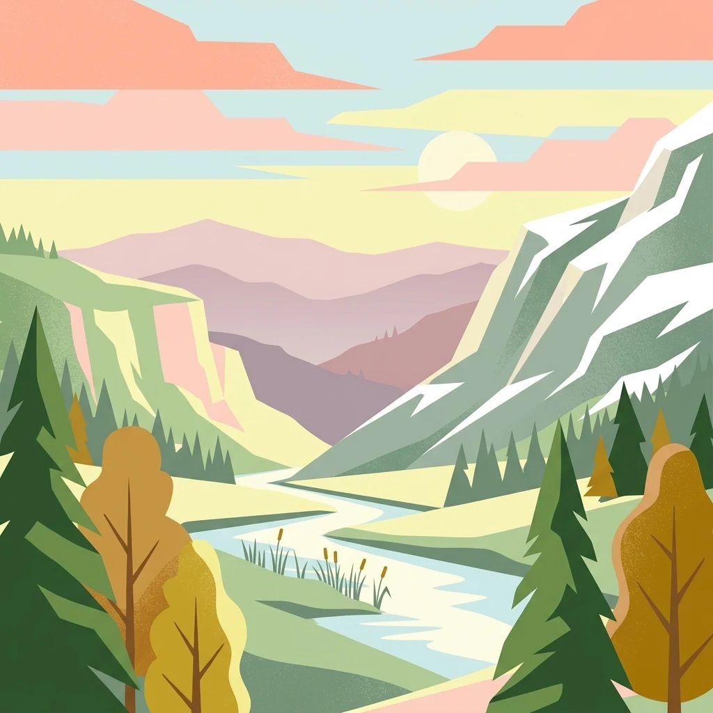
A flat-style digital illustration of a mountain valley at sunset, featuring a winding river, evergreen and deciduous trees, and layered distant mountain peaks.

A forested mountain refuge above Athens, protecting fir and pine ecosystems, karst gorges, and a remarkable red deer population.

Parnitha National Park

Parnitha National Park protects the largest and highest mountain range in the Attica peninsula, rising just north of Athens. Its dominant peak, Karavola, reaches upper-elevation forest country and gives the park a distinctly alpine feel despite being only about an hour from the capital. Established in 1961 and later integrated into the Natura 2000 network, the park safeguards extensive forests of Greek fir, Aleppo pine, and Mediterranean oak, along with deep karst gorges, caves, and a network of mountain springs. The park is best known today for its role as a green lung for greater Athens and as the only place in Greece with a self-sustaining population of red deer. It is also a major hiking and mountaineering destination, tied to the cultural identity of Attica through ancient mythology, mountain monasteries, and traditional villages around its flanks. Parnitha has been deeply shaped by wildfire, most notably the devastating 2007 blaze that burned the majority of its forest cover. Recovery, reforestation, and the return of large mammals such as wolves and wild boar have made the park a living laboratory for Mediterranean forest resilience.

Location
Greece
Park type
National park
Established
1961
Area
38.2 km²
Highest point
1,413 m
Explore Parc national du Parnès Geography
Regional park map

See the ranked park cluster in its geographic setting

Nearby parks around Parnitha National Park

This regional map shows the same 20 nearby parks ranked below around Parnitha National Park. Select a ranked marker to highlight that park’s boundary where boundary data is available.
Reference park: Parnitha National ParkRanked nearby park20 nearby parks shown
20 nearby parks

Distance ranked regional geography and surrounding protected landscapes

Parks and Protected Areas Geographically Near Parc national du Parnès

Examine the ranked collection of protected areas situated geographically near Parc national du Parnès to evaluate surrounding regional park geography. These spatial relationships and recorded environmental metrics provide structured comparison signals for exploring nearby conservation territory.
National parkGreece
About 64 km away#1 closest

Southeast

Sounio National Park: Protected Coastal Geography and Mediterranean Terrain in Greece

A rugged maritime landscape on the Attica headland

Sounio National Park occupies the dramatic southernmost tip of the Attica peninsula in Greece. The protected area features vertical limestone cliffs, scrub-covered coastal hills, and a strategic headland overlooking the Aegean. This atlas entry provides a detailed look at the park boundaries, surrounding maritime geography, and the unique integration of classical heritage sites within an exposed Mediterranean conservation zone.

Area
0.75 km²
Established
1974
Relief
Upland
Climate
Mediterranean
Watercolor illustration of a coastal landscape with hills, trees, and a body of water
Marine protected areaGreece
About 94 km away#2 closest

North

National Marine Park of Alonnisos Northern Sporades: Protected Marine Landscape and Aegean Geography

Explore Greece's largest marine protected area and its vital ecosystems.

Investigate the National Marine Park of Alonnisos Northern Sporades, an extensive marine protected area situated in the northern Aegean Sea. This protected landscape is internationally significant for its role in conserving the Mediterranean monk seal and for its healthy Posidonia oceanica seagrass meadows. Understanding this park's geographic scope and its protected marine terrain offers crucial insights into Mediterranean island ecosystems and conservation efforts within the region.

Area
2,260 km²
Established
1992
IUCN
II
Relief
Mixed relief
A soft, watercolor painting of a mountain range in the distance, featuring a band of evergreen trees in the midground and a grassy foreground on a plain white background.
National parkGreece
About 104 km away#3 closest

Northwest

Parc national du Mont Parnasse: Mapping the Limestone Massif and Alpine Geography of Greece

A protected national park blending karst geology and mountain ecosystems.

Parc national du Mont Parnasse stands as a prominent protected landscape in Central Greece, defined by its fractured limestone geology and subalpine forests. This national park serves as a vital ecological refuge that preserves karst terrain, sinkholes, and diverse Mediterranean mountain habitats rising toward steep alpine summits.

Relief
Mountain
Climate
Mediterranean
Scope
Terrestrial
Water
Minor water
A watercolor painting showing a wide view of the Foloi plateau with rolling hills, a small grove of deciduous trees, and a winding stream, set against a pale background.
Protected areaElis
About 179 km away#4 closest

West

Foloi Oak Forest Protected Area and Plateau Landscape in Elis, Greece

Deciduous mountain woodland and regional plateau geography

Examine the geographic profile of the Foloi Oak Forest, a rare seed-regenerated deciduous woodland spread across an elevated plateau in the Elis region. This protected landscape forms an essential ecological boundary in the western Peloponnese, featuring a dense canopy of Hungarian oak and deep gorges that define the surrounding mountain terrain and local drainage systems.

Area
42 km²
Relief
Upland
Climate
Mediterranean
Access
Moderate access
A watercolor painting showing a soft, atmospheric landscape with a pink-toned lagoon in the foreground, green hills in the midground, and a hazy purple mountain in the background.
National parkGrèce-Occidentale
About 209 km away#5 closest

West

Parc national de Missolonghi-Etolikó: Coastal Lagoons and Limestone Geography

Protected wetlands and river delta landscapes in Western Greece

Tracing the interface of the Acheloos and Evinos river deltas with the Ionian Sea, this national park protects a mosaic of saltpans, reedbeds, and mountain massifs. Its mapped boundaries encompass the historic Missolonghi lagoon, the vertical limestone cliffs of Mount Varasova, and rare riverine woodlands, providing a detailed look at one of the most vital wetland complexes in the Mediterranean.

Area
360.73 km²
Established
2006
IUCN
VI
Watercolor painting of a wide, rolling landscape with a forested horizon and distant mountains, rendered in soft, muted tones of pink, green, and gold on a white background.
Natural monumentLesvos
About 220 km away#6 closest

Northeast

Lesvos Petrified Forest: Protected Volcanic Fossil Landscapes and Aegean Geological Atlas

Natural monument and ancient Miocene fossil forest zones in western Lesvos, Greece.

This protected natural monument preserves an early Miocene forest transformed into stone by volcanic activity. The landscape features fossilized coniferous trunks, including rare upright specimens, scattered throughout volcanic deposits and coastal andesite outcrops on the island of Lesvos. It serves as a vital reference for the geological history of the North Aegean region.

Area
150 km²
Established
1985
Relief
Upland
Climate
Subtropical
Protected areaAetolia-Acarnania
About 231 km away#7 closest

West

Lake Amvrakia Protected Area: Atlas of a Tectonic Freshwater Basin in Aetolia-Acarnania

Mapped geography of a unique karstic semipolje in western Greece.

Lake Amvrakia is a distinct tectonic basin located in western Greece. This protected area represents a complex karstic landscape formed in Mesozoic limestone, supporting diverse birdlife and endemic species. The geography reveals a stark contrast between agricultural eastern shores and the preserved riparian zones of the west, marking it as a significant case of human-environment interaction in the region.

Area
13.6 km²
Relief
Lowland
Climate
Mediterranean
Access
Access unknown
Watercolor painting of a mountain range, pine trees, and a small stream in the foreground against a light, misty background.
National parkThessaly
About 243 km away#8 closest

Northwest

Olympus National Park: Protected Mountain Landscapes and Geographic Mapping of Northern Greece

High mountain terrain, forest zones, and protected boundaries

Olympus National Park preserves the towering summit of Mount Olympus and its surrounding canyons. This record highlights the park's geologic structure, its diverse vegetation zones ranging from Bosnian pine to alpine grasslands, and its status as a cornerstone of the natural geography spanning the borders of Thessaly and Central Macedonia.

Area
39.88 km²
Established
1938
IUCN
II
Visitors
180K annual
Watercolor illustration of a mountain range with greenery and distant peaks under a light sky
Marine protected areaGreece
About 254 km away#9 closest

West

National Marine Park of Zakynthos: Detailed Protected Marine Area & Geographic Context

Mapping Zakynthos's protected marine territory and regional geography

Investigate the National Marine Park of Zakynthos, a distinguished marine protected area situated in Greece. This dedicated page provides detailed insights into its protected landscape, focusing on its mapped geographic extent and its significance within the Mediterranean. Users can explore the specific boundaries of this protected marine territory and understand its place in the wider regional geography, enhancing atlas-based discovery of Greece's conservation areas.

IUCN
II
Scope
Marine
Water
Water-dominated
National parkGreece
About 267 km away#10 closest

Northwest

Parc national de Tzoumérka-Achelóos-Ágrafa-Météores National Park: Geography and Landscape Atlas

Central Greece Pindus mountain protected wilderness zone

An extensive protected landscape bridging Thessaly and Epirus, this national park showcases the ecological and geological diversity of the central Pindus Mountains. Analyze the geographic layout of the Athamanian ranges, the Acheloos river corridor, and the unique conglomerate formations at Meteora through a detailed protected-area lens.

Area
3,379.94 km²
Established
2009
IUCN
VI
Relief
Mountain
Watercolor depiction of a river delta with green fields, a winding river, wildflowers, and distant hills
National parkCentral Macedonia
About 275 km away#11 closest

North

Axios Delta National Park: Central Macedonia's Premier Protected Wetlands and Bird Sanctuary

Mapping the unique geography of this vital European bird migration corridor.

Axios Delta National Park is a significant protected wetland located in Central Macedonia, Greece, renowned for its role as a critical stopover and breeding ground for countless bird species along the East Atlantic Flyway. The park's landscape is shaped by the Axios, Haliacmon, Loudias, and Gallikos river deltas, creating a dynamic mosaic of lagoons, reedbeds, and coastal dunes. As a Ramsar site and Natura 2000 network area, it highlights the importance of understanding mapped protected landscapes and their regional geographic context for conservation efforts. Explore the distinct natural features and ecological significance of this unique delta.

Area
338 km²
Established
2009
IUCN
VI
Relief
Lowland
A soft watercolor illustration featuring a winding river flowing through green wetlands towards gentle rolling hills under a pale pink and light orange sky.
National parkGreece
About 280 km away#12 closest

North

Parc national des lacs Korónia, Vólvi et du Témpi macédonien: Landscape and Map Atlas

Protected wetland basins and river gorge terrain in northern Greece

Spanning 159 square kilometers, this national park protects essential Mediterranean wetland habitats. Examine the unique intersection of Lake Korónia, the expansive Lake Vólvi, and the Richios River gorge that shapes the ecological character of this prominent Macedonian protected area.

Area
159.28 km²
Established
2004
IUCN
VI
Relief
Lowland
A soft watercolor illustration of green rolling hills and flat land against a pale, hazy background, representing a coastal island environment.
Nature reserveCrete
About 293 km away#13 closest

South

Agioi Theodoroi Nature Reserve: Protected Island Landscapes off the Coast of Crete

A vital wildlife sanctuary and historical island terrain

The nature reserve of Agioi Theodoroi comprises two small, rocky islands off the northwestern shore of Crete. Known for a long-established population of the rare kri-kri wild goat and breeding colonies of Eleonora's falcons, these islets maintain strict conservation status. Explore the mapped boundaries of this unique protected area and its significance within the coastal geography of the Chania region.

Area
0.697 km²
Established
1930
Relief
Upland
Climate
Mediterranean
National parkAydın Province
About 294 km away#14 closest

East

Dilek Peninsula-Büyük Menderes Delta National Park: Protected Landscape and Geographic Context

Aydın Province's unique national park with diverse ecosystems.

Investigate Dilek Peninsula-Büyük Menderes Delta National Park, a key protected area in Turkey's Aydın Province. This page provides detailed geographic context, highlighting the park's remarkable coexistence of mountainous terrain and essential wetland habitats. Understand the mapped boundaries and landscape characteristics that define this significant national park.

Area
275.98 km²
Established
1966
IUCN
II
Visitors
700K annual
Watercolor illustration of a landscape featuring rolling hills, trees, and a small body of water
Protected areaTurkey
About 295 km away#15 closest

Northeast

Ancient Troya National Park: A Mapped Protected Landscape with Deep Historical Significance

Explore the terrain and protected boundaries of this key Turkish heritage site.

Ancient Troya National Park offers a unique window into history, preserving the layers of the ancient city of Troy within its protected boundaries. Situated in Turkey, this park encompasses a significant archaeological site on a commanding hilltop, overlooking rolling Mediterranean terrain and coastal plains. Its landscape, characterized by fortified walls, gates, and the remnants of ancient structures, provides a rich context for understanding its mythological and historical importance. MoriAtlas provides detailed mapping and geographic context for this vital protected area, enhancing its atlas exploration value.

Established
1996
IUCN
II
Relief
Lowland
Climate
Mediterranean
Watercolor illustration of a mountainous landscape with a river, forests, and distant hills
National parkGreece
About 296 km away#16 closest

Northwest

Pindus National Park: A Protected Greek Mountain Wilderness with Ancient Forests

Explore its rugged terrain, biodiversity, and alpine landscape.

MoriAtlas presents Pindus National Park, a significant protected area in Greece known for its dramatic mountainous terrain, deep valleys, and ancient old-growth forests. This page details its geographic context, featuring rugged highland landscapes, serpentine soils, and vital habitats for species like the Eurasian brown bear. Understand its place within the Pindus mountain range and its importance as a mapped wilderness area for conservation.

Area
69.27 km²
Established
1966
IUCN
II
Relief
Mountain
Watercolor painting of a coastal landscape featuring green rolling hills, distant landmasses, and stylized shrubs and trees in the foreground against a white background.
Nature reserveCrete
About 323 km away#17 closest

South

Elafonisi Nature Reserve: Geography and Protected Landscape Analysis in Crete

Coastal dunes and limestone formations in southwestern Crete.

Elafonisi is a protected nature reserve situated in the southwestern reaches of Crete. This site encompasses a complex landscape of sand dunes, juniper-covered scrub, and rugged limestone terrain. By providing a clear look at the area, this atlas entry helps users understand the geographic setting, the ecological significance of the island, and the natural boundaries of this noteworthy Mediterranean conservation area.

Area
1.5 km²
Relief
Lowland
Climate
Mediterranean
Access
Easy access
A watercolor painting showing a panoramic landscape with green hills, distant mountains, and water, set against a plain white background.
National parkGreece
About 323 km away#18 closest

South

Samaria National Park: Geological Landscape and Protected Area Atlas in Crete, Greece

Mapping the dramatic White Mountain canyon and coastal descent

Samaria National Park stands as a major protected landmark in Greece, defined by a tectonic gorge that bisects the White Mountains. This atlas entry covers the park boundary, the distinct vertical limestone cliffs of the Iron Gates, and the transition from mountain plateau to the Mediterranean coastline.

Area
4.848 km²
Established
1962
Relief
Mountain
Climate
Mediterranean
Watercolor painting showing green and pink mountain ranges with a body of water in the middle
National parkTurkey
About 323 km away#19 closest

Northeast

Kazdağı National Park: Explore Turkey's Protected Mountainous Terrain and Forest Ecosystem

Mapped geography and protected landscape context within Turkey's Aegean region.

Kazdağı National Park is a significant protected area in Turkey, renowned for its dramatic mountain landscape encompassing Mount Ida. This park safeguards a critical subalpine forest ecosystem, characterized by diverse tree species that transition into rocky summits and alpine meadows. Understanding Kazdağı National Park's mapped boundaries provides essential insight into the regional geography, watershed protection, and the unique natural terrain found in western Turkey's Mediterranean mountain ranges, offering a solid foundation for geographic discovery.

IUCN
II
Scope
Terrestrial
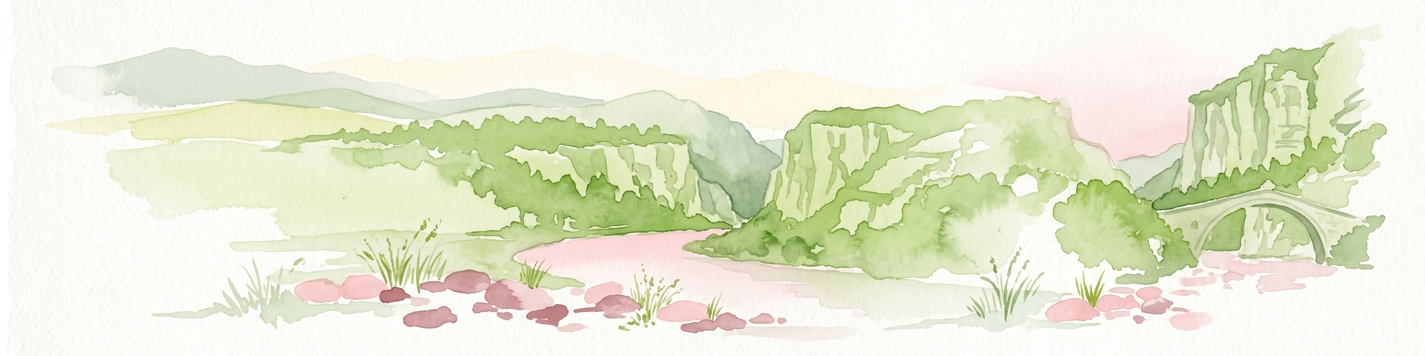
A watercolor painting showing a river winding through a mountainous gorge with a stone arch bridge on the right bank.
National parkEpirus
About 327 km away#20 closest

Northwest

Northern Pindus National Park: A Geographic Survey of Mountain Landscapes in Epirus Greece

Mapped terrain, karst river gorges, and alpine forest ecosystems.

Northern Pindus National Park preserves an extensive mountain environment characterized by steep limestone ridges, the profound Vikos Gorge, and glacial lake basins. Located in the Pindus range of Epirus, this area offers deep insight into the intersection of geological processes, rare wildlife habitats, and traditional human settlements integrated into the mountainous terrain.

Area
157.4 km²
Established
2005
IUCN
II
Relief
Mountain
Distance methodology

Geographic measurements, not driving distances

How nearby park distances are calculated

Distances use park boundaries whenever the available geometry allows it. When one or both boundaries are missing, the mapped park locations provide a clearly labelled estimate. Every value represents straight-line geographic separation and does not use roads or routing.

Boundary distance

Calculated between the nearest points of both park boundaries.

Location-to-boundary estimate

Estimated from one mapped park location to the nearest boundary of the other park.

Mapped-location estimate

Estimated between the mapped locations of both parks.

MoriAtlas Explorer

Explore the Mountain Geography and Protected Boundaries of Parc national du Parnès

Delve into the mapped terrain of Parc national du Parnès to understand its role as a major alpine massif in Greece. MoriAtlas provides a structured look at the park's karst formations, forest gradients, and essential ecological zones that define this protected landscape.