Mori Atlas logo
Nearby park discovery

Explore regional landscapes and mapped protected territory near the Namibian coast

Geographic Distribution of Protected Areas Surrounding Skeleton Coast National Park

Examine the geographic distribution of parks and protected areas situated within the regional landscape surrounding Skeleton Coast National Park. This overview provides spatial context for nearby wilderness zones, tracing the transition from coastal desert environments to the broader protected terrain of Namibia.

A digital illustration of a sandy coastline with a wrecked ship on the beach, large sand dunes in the background, and a calm ocean under a warm-toned sky.

Remote Atlantic coastline of shipwrecks and desert wilderness in northwest Namibia

Skeleton Coast National Park

Skeleton Coast National Park occupies a dramatic stretch of Namibia's northwestern Atlantic coastline, protecting one of Africa's most remote and inhospitable coastal environments. Established in 1971, the park spans approximately 16,845 square kilometers, making it one of Namibia's largest protected areas. The park derives its evocative name from the skeletal remains of shipwrecks that dot its shoreline, bearing witness to centuries of maritime tragedy along this fog-shrouded and treacherous coast. The landscape is characterized by a stark juxtaposition of towering sand dunes meeting the cold Atlantic waters, creating a wilderness of profound solitude and stark beauty that remains largely inaccessible to conventional tourism.

Location
Namibia
Park type
National park
Established
1971
Area
16,845 km²
Skeleton Coast National Park protected area
Regional park map

See the ranked park cluster in its geographic setting

Nearby parks around Skeleton Coast National Park

This regional map shows the same 18 nearby parks ranked below around Skeleton Coast National Park. Select a ranked marker to highlight that park’s boundary where boundary data is available.
Reference park: Skeleton Coast National ParkRanked nearby parkSelected boundary: Skeleton Coast National Park18 nearby parks shown
18 nearby parks

Geographic proximity signals and regional landscape comparisons for surrounding protected areas

Ranked Parks and Protected Areas Geographically Near Skeleton Coast National Park

Geographic distance measurements rank surrounding protected areas by spatial separation from Skeleton Coast National Park to establish regional context. Analyzing these neighboring territories provides structured environmental comparisons across coastal and desert conservation zones.
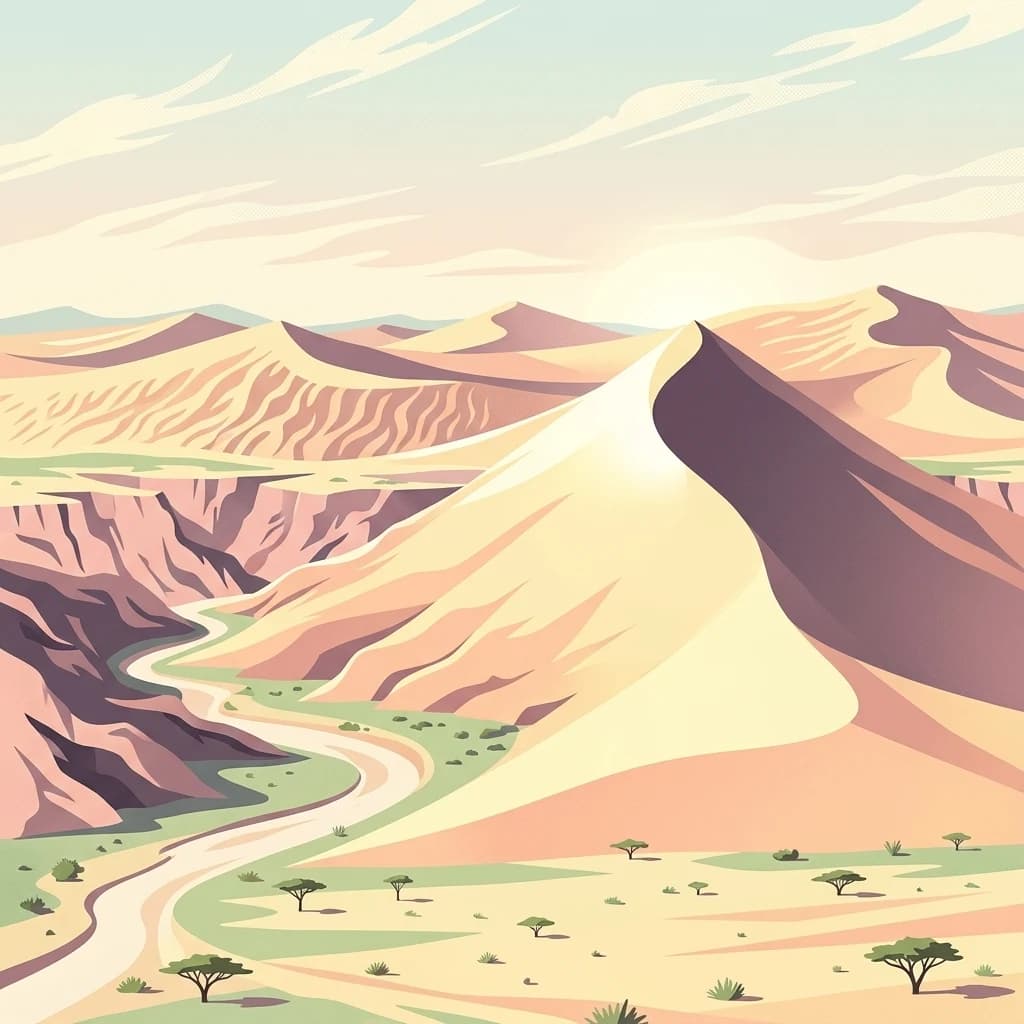
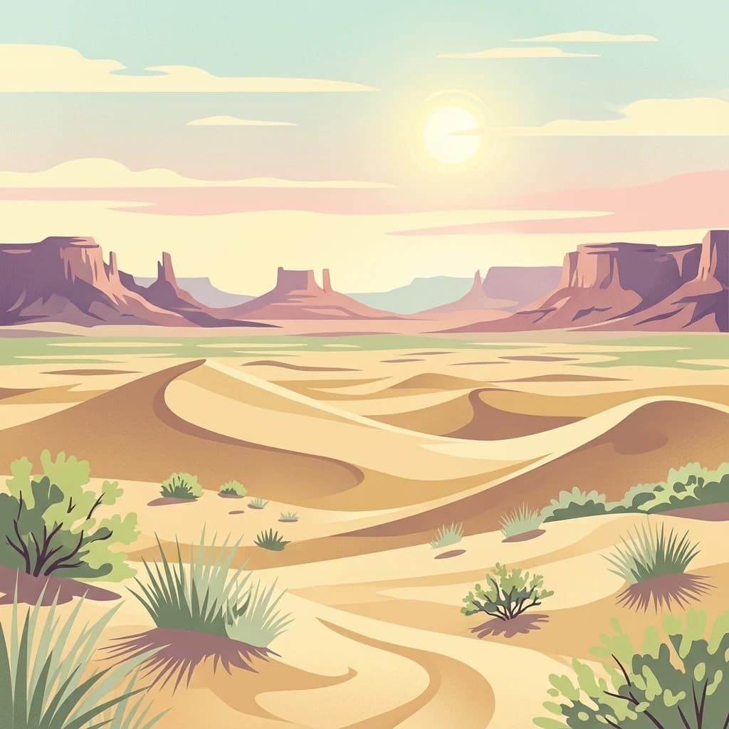
A flat digital illustration showing a desert landscape with rolling sand dunes in the foreground, sparse desert scrub brush, and prominent rocky mesas in the distant background under a bright sun.
National parkNamibia
Park boundaries overlap#1 closest

Southeast

Dorob National Park: Namibia's Expansive Coastal Desert and Protected Bird Habitat

Explore mapped landscapes and regional geography.

Dorob National Park is a prime example of a protected coastal desert landscape, stretching along Namibia's Atlantic coast. This national park is renowned for its significant bird populations, making it an Important Bird Area with extensive mapped habitats supporting diverse species. Understand the park's geographic context, from its dramatic dunes to its ephemeral river systems, and its role as a key conservation area within the region.

Area
107,540 km²
Established
2010
IUCN
II
Relief
Lowland
National parkNamibe Province
Park boundaries overlap#2 closest

North

Iona National Park: Mapped Protected Landscape in Namibe Province, Angola

Explore the geographic extent and regional context of this national park.

Iona National Park stands as a protected natural area within the administrative region of Namibe Province, Angola. This atlas-focused entry provides detailed insights into the park's mapped boundaries, its regional geographic positioning, and its role as a conservation landscape. Users can engage with specific data to understand the terrain and protected land distribution within this significant Angolan national park.

Area
15,200 km²
Established
1964
IUCN
II
Relief
Mixed relief
A digital illustration of an open, dry savanna landscape with scattered acacia trees and silhouettes of gazelles and zebras in the distance under a pastel sky.
National parkKunene Region
123 km away#3 closest

East

Etosha National Park

Discover its protected boundaries and geographic context.

Etosha National Park, in Kunene Region, Namibia. Landscapes: karst, deserts, and hills.

Area
22,270 km²
Established
1907
IUCN
II
Visitors
200K annual
Wildlife reserveAngola
About 158 km away#4 closest

North

Namibe Partial Reserve: Mapping the Arid Landscapes and Conservation Areas of Angola

Southwestern Angola Wildlife Reserve Geography

Namibe Partial Reserve encompasses vast desert dunes and unique arid plains in southwestern Angola. The protected area offers a look at the ecological character of the Kaokoveld Desert, highlighting the natural geography and boundary context of this significant wildlife reserve within the region.

Area
4,450 km²
Established
1960
IUCN
IV
Relief
Lowland
A digital illustration of a desert landscape with large sand dunes in the background and a winding sandy riverbed in the foreground, dotted with small acacia-like trees.
National parkNamibia
193 km away#5 closest

Southeast

Namib-Naukluft National Park

Explore its ancient dunes, Naukluft mountains, and coastal geography.

Namib-Naukluft National Park, in Namibia. Landscapes: mountains, valleys, and plateaus.

Area
49,768 km²
Established
1907
IUCN
II
Relief
Mixed relief
Wildlife reserveOtjozondjupa
About 292 km away#6 closest

Southeast

Okonjati Game Reserve: Mapped Protected Landscapes and Wildlife Geography in Namibia

Ecological terrain and historical mountain setting in Otjozondjupa.

Situated in the heart of Namibia, Okonjati Game Reserve represents a significant private conservation effort centered on the Etjo massif. This 360 square kilometer protected landscape features a blend of rocky uplands and savanna plains, providing a unique habitat for rhinoceroses, elephants, and hippopotamuses while preserving fossilized dinosaur tracks and modern historical landmarks.

Area
360 km²
Established
1975
Relief
Upland
Climate
Arid
A horizontal watercolor illustration of rolling hills, trees with soft pink and green foliage, and grassy foreground against a pale misty mountain background.
Protected areaNamibia
About 313 km away#7 closest

Southeast

Gross Barmen Protected Area: Landscape Geography and Thermal Spring Mapping in Namibia

Central Namibia thermal spring and historic natural monument

Gross Barmen is a state-managed recreation area in central Namibia, centered on a natural sulfurous spring that emerges within a flat thornveld landscape. This protected area acts as both a cultural heritage site and a geological feature, providing a clear window into the regional terrain of the Otjozondjupa area through its thermal waters and historical mission foundations.

Area
1 km²
Established
1968
Relief
Lowland
Climate
Arid
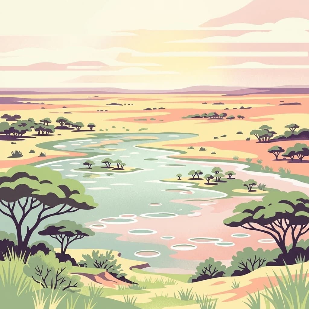
A stylized digital illustration of a wide, flat landscape with shallow drainage channels filled with light blue water, interspersed with patches of light green vegetation and acacia-like trees under a soft, pastel-toned sky.
Wildlife reserveOshana Region
About 316 km away#8 closest

East

Oshana-System Wildlife Reserve: Mapping the Seasonal Wetlands of the Oshana Region

A complex network of drainage channels and savanna grasslands

The Oshana-System functions as an expansive inland wetland complex, defined by its flat, sandy terrain and cyclic flooding. This wildlife reserve spans significant portions of north-central Namibia, offering a distinct study in low-gradient hydrology and savanna-wetland transitions characterized by mopane woodland and makalani palms.

Area
30,000 km²
Relief
Lowland
Scope
Terrestrial
Water
Water-dominated
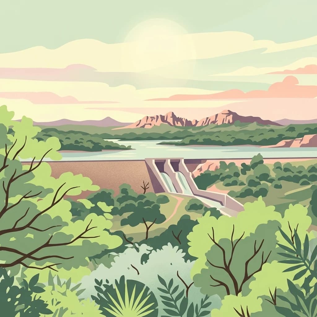
A stylized digital illustration of the Von Bach Dam in Namibia, showing a water reservoir, a concrete dam structure with spillways, and surrounding rolling hills and vegetation under a soft sky.
Protected landscapeOtjozondjupa
About 331 km away#9 closest

Southeast

Von-Bach-Erholungsgebiet: A Protected Landscape of Dam Waters and Bushveld Terrain

Geographic overview of the Otjozondjupa recreation reserve.

The Von-Bach-Erholungsgebiet landscape defines a unique intersection between the northern Eros Mountain foothills and the Von-Bach Dam reservoir. Characterized by khaki bushveld, scattered acacia, and rolling ridges, this protected area serves as a primary hub for water-based recreation and bushland exploration in central Namibia.

Area
43 km²
Established
1972
IUCN
V
Relief
Upland
Watercolor illustration of a landscape with soft green and pink hues showing rolling hills and a pale sky
National parkNamibia
About 345 km away#10 closest

East

Waterberg Plateau Park: Mapped Geography and Protected Landscape Identity in Namibia

Central Namibia's ancient plateau and savanna terrain.

Waterberg Plateau Park stands as a defining geological feature of the Namibian landscape. This national park is centered on a dramatic table mountain that creates a distinct ecological island above the surrounding Kalahari basin. Renowned for its ancient rock formations and successful conservation efforts, the area provides a vital protected boundary for endangered species and a significant focus for regional geographic exploration.

Area
405 km²
Established
1972
IUCN
II
Relief
Mixed relief
A digital illustration of a scenic valley surrounded by mountains with a sunrise or sunset in the background and foreground greenery.
National parkAngola
About 360 km away#11 closest

Northeast

Bicuar National Park National Park: Explore Protected Landscape and Regional Geography in Angola

Mapped boundaries and geographic context for Bicuar National Park.

Bicuar National Park represents a distinct protected area within Angola, offering valuable insights into the nation's natural geography. As a designated national park, its mapped boundaries are crucial for understanding its spatial extent and ecological significance. This resource supports detailed atlas exploration, allowing for a deeper appreciation of the park's landscape and its role within the regional context of Southern Africa.

Nature reserveWindhoek
About 368 km away#12 closest

Southeast

Südwest-Naturreservat: A Protected Botanical Nature Reserve in Central Windhoek

Conservation landscapes and native flora in the Khomas Highland

Located in central Windhoek, Südwest-Naturreservat functions as a key protected area and botanical site. It showcases a diverse collection of Namibian plants across both landscaped and natural terrain, offering a focused look at arid and semi-arid flora within an accessible urban environment that highlights the region's unique biodiversity.

Area
0.12 km²
Established
1970
IUCN
V
Relief
Upland
A flat-style digital illustration of an open savanna with acacia trees and a hazy horizon under a soft, pastel-colored sky.
National parkCunene Province
About 401 km away#13 closest

Northeast

Mupa National Park National Park: Exploring Protected Landscapes and Geographic Context

Discover the mapped terrain and boundaries in Cunene Province.

Mupa National Park is a vital protected area within Cunene Province, Angola, serving as a key component of the region's conservation atlas. This national park represents a distinct geographic entity, offering detailed insights into its mapped landscape and protected boundaries. Users can explore Mupa National Park to understand its specific contribution to the protected lands of southern Angola and to appreciate its unique position within the broader regional geography and natural terrain.

Area
6,600 km²
Established
1964
Access
Access unknown
Scope
Terrestrial
National parkNamibia
About 598 km away#14 closest

East

Mangetti National Park: Protected Landscape and Geographic Atlas in Namibia

Explore mapped boundaries within Namibia's arid terrain.

Mangetti National Park serves as a crucial protected area, offering insights into Namibia's unique geography and conservation landscapes. Delve into the mapped extent of this national park, understanding its specific location and its contribution to the atlas of protected lands in southern Africa. Examine its geographic character and the context it provides for appreciating the country's natural heritage.

Area
420 km²
Established
2008
IUCN
II
Relief
Lowland
A pale, minimalist watercolor painting showing layers of coastal hills, greenery, and dunes fading into a distant, hazy horizon.
Marine protected areaNamibia
About 599 km away#15 closest

South

Meob-Chamais Islands’ Marine Protected Area: Mapped Coastal and Marine Sanctuary

A protected Atlantic marine region in coastal Namibia

Spanning from Meob Bay to Chamais Bay, this expansive marine protected area preserves the vital intersection between Namibia's arid desert shoreline and the cold, productive waters of the Atlantic. The region comprises ten primary islands and numerous islets that provide essential breeding platforms for bank cormorants and African penguins. This site remains a foundational element of regional coastal conservation and marine geography.

Area
20,000 km²
Established
2009
IUCN
VI
Scope
Marine
A watercolor painting showing a soft-focus desert landscape with undulating sand dunes in the foreground and a range of purple, distant mountains in the background.
Nature reserveNamibia
About 620 km away#16 closest

Southeast

Tirasberge Nature Reserve: Geography and Protected Landscapes of Southern Namibia

A compact wilderness spanning mountain massifs and desert frontiers.

The Tirasberge region serves as a vital protected area in southern Namibia, showcasing a diverse intersection of mountain ridges, red sand dunes, and arid savanna plains. This reserve provides a unique look into a stratified landscape where high elevation terrain meets the lower reaches of the Namib dune sea, creating a complex corridor for ecology and history. Understanding the reserve reveals how mountain-to-savanna transitions define the rugged character of this southern African conservation zone.

Area
1,250 km²
Established
1998
Relief
Mountain
Climate
Arid
A stylized digital illustration of a desert landscape with rocky foreground, sandy plains, and distant mountains under a sunset sky.
National parkNamibia
About 625 km away#17 closest

South

Tsau ǁKhaeb National Park: Namibia's Protected Area and Geographic Identity

Mapped natural landscape and park boundaries in Namibia.

Tsau ǁKhaeb National Park represents a vital protected area within Namibia, offering deep insights into the country's unique arid environments. This park detail page serves as an atlas entry focused on its mapped geography, highlighting its protected boundaries and its role within the broader landscape of Southern Africa. Explore the inherent geographic characteristics and conservation significance of this national park.

National parkAngola
692 km away#18 closest

East

Mavinga National Park: Protected Landscape Identity and Geographic Mapping in Angola

Explore mapped boundaries and regional context of this national park.

Mavinga National Park stands as a designated protected area within Angola, offering insights into the nation's natural landscapes and conservation efforts. This entry details the park's geographic footprint and its role as a national park. It provides users with essential map-based discovery tools to understand the park's setting, its physical geography, and its significance as a protected natural landscape in southern Africa.

Area
46,076 km²
Established
2011
IUCN
II
Relief
Lowland
Distance methodology

Geographic measurements, not driving distances

How nearby park distances are calculated

Distances use park boundaries whenever the available geometry allows it. When one or both boundaries are missing, the mapped park locations provide a clearly labelled estimate. Every value represents straight-line geographic separation and does not use roads or routing.

Boundary distance

Calculated between the nearest points of both park boundaries.

Location-to-boundary estimate

Estimated from one mapped park location to the nearest boundary of the other park.

Mapped-location estimate

Estimated between the mapped locations of both parks.

MoriAtlas Explorer

Continue Exploring Skeleton Coast National Park's Mapped Landscape and Geographic Context

Deepen your understanding of Skeleton Coast National Park's unique protected landscape and its place within Namibia's geography. Explore its mapped boundaries, characteristic terrains, and the stark beauty that defines this remote wilderness. MoriAtlas provides the structured atlas data to contextualize its iconic shipwrecks and desert-meets-ocean environment for detailed geographic discovery.