
National parkGeorgiaMarine

Kolkheti National Park
Explore the peat bogs, coastal ecosystems, and bird migration routes.
Kolkheti National Park, in Georgia. Landscapes: wetlands, lakes, and rivers.
807.99 km²1998IIWater-dominated

Explore the full list of protected areas and natural landscapes across Georgia's diverse geography
Browse profiles of parks and protected areas in Georgia, including Kolkheti and BKNP.
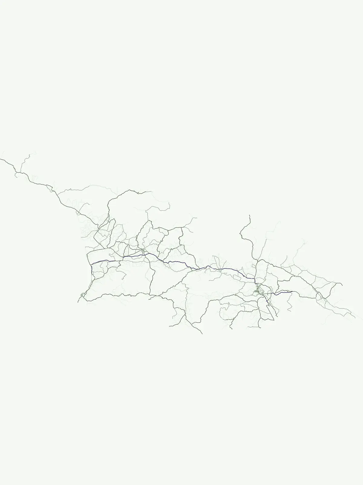
A comprehensive geographic atlas of conservation landscapes spanning Georgia's diverse terrain.
Explore Georgia's full array of national parks, protected areas, and nature reserves, covering diverse ecosystems from its Black Sea coast to the high Caucasus mountain ranges. This country-wide listing provides a detailed geographic overview of conservation landscapes, helping users understand their distribution and unique ecological features for deeper discovery.
Showing 1 to 12 of 12 parks
Explore the peat bogs, coastal ecosystems, and bird migration routes.
Kolkheti National Park, in Georgia. Landscapes: wetlands, lakes, and rivers.

Explore its unique forests, wildlife, and mountain terrain.
Borjomi-Kharagauli National Park, in Georgia. Landscapes: mountains, forests, and valleys.

Explore its dramatic terrain and protected area boundaries.
Kazbegi National Park, in Mtskheta-Mtianeti, Georgia. Landscapes: mountains, valleys, and forests.

Explore Adjara's unique terrain and mapped protected boundaries.
Mtirala National Park, in Adjara, Georgia. Landscapes: mountains, forests, and woodlands.

Discover distinct semi-arid terrain and rare forest ecosystems.
Vashlovani National Park in Dedoplistsqaro Municipality represents a significant protected area preserving Georgia's rare lowland desert and semi-arid steppe ecosystems. This national park is characterized by its striking badland topography, known as the "Sharp Walls," wild pistachio forests, and riparian habitats along the Alazani River. Its unique geographic setting, far removed from Georgia's typical mountainous landscapes, makes Vashlovani a crucial site for understanding regional biodiversity and conservation within the Caucasus.

Mapped protected area boundaries and alpine terrain in Georgia.
Tusheti National Park offers a deep dive into the rugged geography of the Greater Caucasus. This national park, situated in a remote corner of Georgia, protects a dramatic landscape characterized by high mountain ridges, glacial valleys, and diverse ecosystems. The park's mapped boundaries encompass significant alpine terrain, providing essential habitat and serving as a critical area for understanding regional protected land distribution and landscape context. Explore the unique geographic identity of Tusheti National Park.

Mountain terrain, protected forests, and regional geography.
Algeti National Park, located in Georgia's Kvemo Kartli region, serves as a critical protected area preserving the easternmost populations of Caucasian Spruce and Nordmann Fir. This national park features a dramatic mountainous landscape within the Trialeti Range, characterized by deeply incised valleys, flowing rivers, and extensive old-growth forest ecosystems. Users can explore the park's geographic context, mapped boundaries, and the ecological significance of its unique coniferous and mixed forests, contributing to a broader understanding of protected lands in the Caucasus.

Explore Georgia's oldest national park and its mapped forest terrain.
Tbilisi National Park represents Georgia's oldest protected area, nestled in the Saguramo Range within Mtskheta Municipality. This page provides an atlas-focused view of its geographic features, including mountainous terrain and deciduous forest ecosystems. Users can explore the park's mapped boundaries and understand its significance as a crucial natural landscape close to Tbilisi, contributing to the region's protected areas network.

Explore the unique geography and mapped park boundaries of this Georgian protected area.
Delve into Javakheti National Park, a significant protected landscape located in Georgia's Samtskhe, Javakheti region. This page serves as an entry point for understanding the park's distinctive highland terrain, its remarkable chain of lakes and marshes, and its protected area status. Explore the geographic context of this national park, its role in wetland conservation, and its value for structured atlas-based discovery of natural landscapes.

Explore rugged terrain and alpine ecosystems in Georgia's Caucasus.
Pshav-Khevsureti National Park is a key protected area in Georgia's Mtskheta-Mtianeti region, recognized for its dramatic mountain terrain, deep river valleys, and alpine zones. Established as a national park, it safeguards the watersheds of major rivers, supporting significant wildlife and offering a compelling geographic context for atlas exploration. This protected landscape provides insight into the unique natural and cultural heritage of the Khevsureti region, making it a focal point for understanding Georgia's protected area network and mountainous geography.

Explore Georgia's unique Caucasus mountain geography and mapped park boundaries.
Machakhela National Park represents a crucial protected area in Georgia's Adjara region, safeguarding the integrity of ancient Colchic broadleaf forests. This park's landscape is characterized by the steep Machakhelistsqali River valley, carved into the lower Caucasus mountains, offering a distinct geographic profile for atlas exploration. Discover the park's specific terrain, mapped boundaries, and its ecological significance as a vital component of the regional natural heritage.

Explore the mapped geographic boundaries of this unique Georgian national park.
Kintrishi National Park, located in Georgia's Adjara region, is a protected landscape renowned for its exceptionally intact Colchic deciduous forests within a steep river gorge. This area showcases dense woodland, dramatic terrain, and the unique Colchican willow species, offering rich geographic context. As a key protected area, Kintrishi National Park provides a valuable focus for atlas-based exploration of southwestern Georgia's natural heritage.
Expand your atlas exploration, comparing protected landscapes and national park geographies beyond Georgia.

Parks and protected areas in United States of America, including Grand Canyon and Yellowstone.

Parks and protected areas in The Bahamas, including Exuma Cays and Union Creek Reserve.

Parks and protected areas in Lebanon, including Kadisha Valley and Al Shouf Cedar Reserve.

Parks and protected areas in Malta, including Comino and Filfla.

Parks and protected areas in Belize, including Bacalar Chico and El Pilar.

Parks and protected areas in Palestine, including Wadi Gaza and Wadi al-Quff.
Parks and protected areas in Pitcairn Islands, including Henderson Island.

Parks and protected areas in Greenland, including Northeast Greenland.
Protected area types
Deepen your understanding of Georgia's conservation efforts by exploring the specific categories and classifications of its protected areas. This journey reveals how national parks and other designation types are mapped across the country, offering detailed insights into regional geography and landscape context. Continue to build your comprehensive atlas of protected lands within Georgia and beyond.
Narrow your search for parks in Georgia by environmental characteristics.