

Mori Atlas logo
Country designation

Discover Israel's network of nationally significant parks and their geographic distribution.

National Parks in Israel: A Country-Scoped Atlas for Protected Landscapes

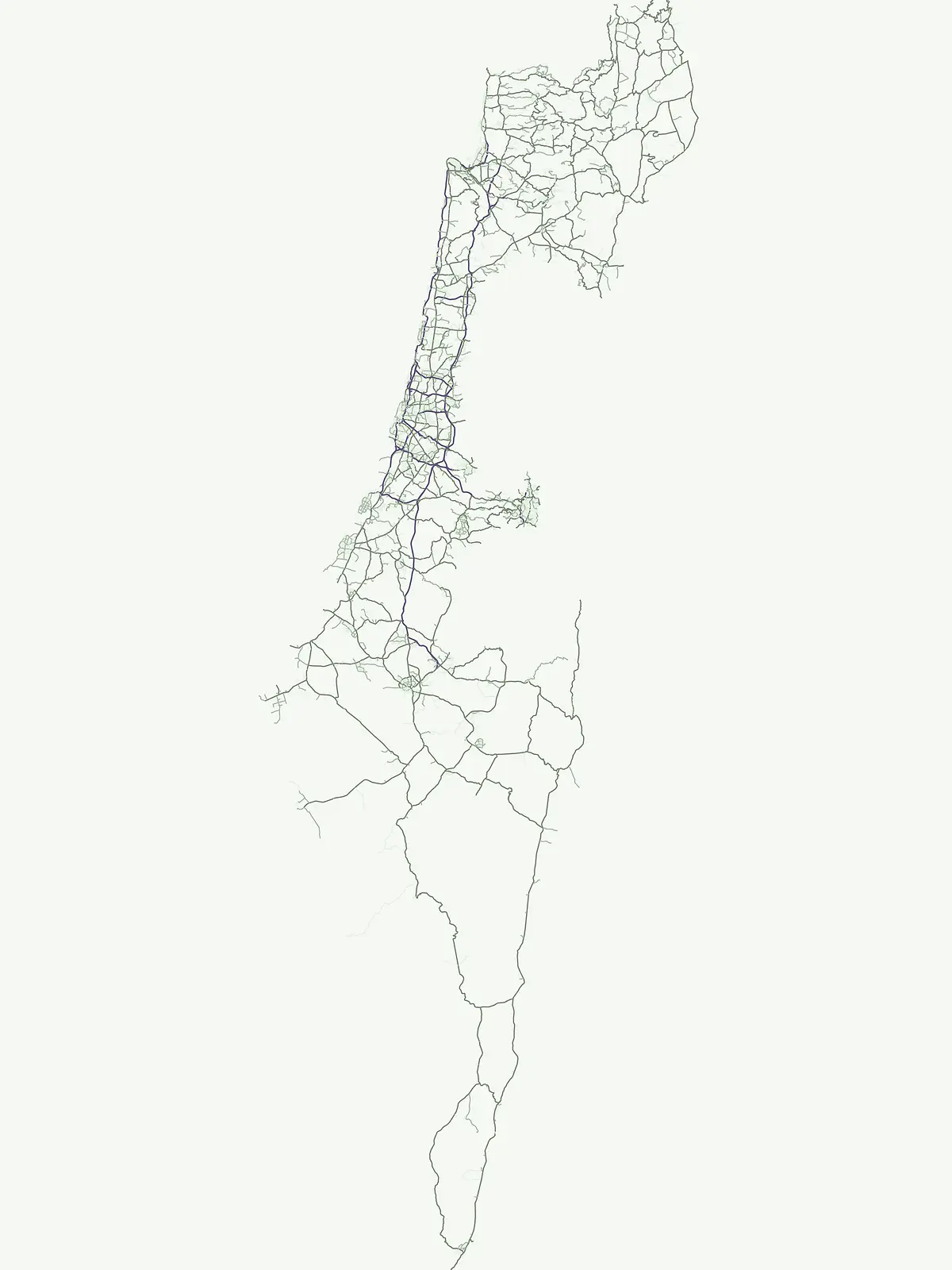
This page offers a focused atlas view of National Parks across Israel. Explore the mapped boundaries and geographic context of these nationally significant protected areas. Understand the distribution of Israel's key protected landscapes as part of its broader conservation identity.

National Parks in Israel: A Country-Scoped Atlas for Protected Landscapes

Mapped Overview of Israel's Key Protected Areas, from Desert to Mediterranean Coast

National Parks in Israel: Explore Protected Landscapes and Historical Sites

Browse the national parks of Israel, a core designation encompassing nationally significant protected areas dedicated to landscape conservation and public recognition. Learn how these parks are distributed across Israel's diverse geography, providing a structured atlas view of its historical sites, desert landscapes, and Mediterranean coastal regions.

National park
Mapped parks36
Share of country parks97%
Largest mapped parkSize data is not available yet for the leading mapped park in this designation.
Oldest mapped parkEstablished-year data is not available yet for the oldest mapped park in this designation.
Parks in this designationExplore Israel's National Park Network: Regional Distribution and Diverse Protected Landscapes10 / 36
See all parks

Browse National Park Protected Areas in Israel: Discover Mapped Geography

Discover national parks in Israel, tracing their geographic spread and regional context across the country's diverse protected areas. Examine how these nationally designated parks contribute to Israel's conservation landscape, offering insights into their varied terrain and historical significance for comparative atlas exploration.

National parkIsrael

Masada National Park

Discover mapped boundaries and archaeological significance in the Judean Desert.

Masada National Park preserves a remarkable historical fortress and palace complex set within the dramatic desert terrain of Israel's Judean Desert. This protected area is renowned for its archaeological importance, showcasing sophisticated ancient engineering and its role as the final stronghold of the Jewish revolt. The stark, beautiful landscape surrounding the plateau offers significant geographic context, allowing for an atlas-style exploration of its terrain, mapped boundaries, and the wider Dead Sea region.

VMinor water
National parkIsrael

Qumran National Park

Mapped terrain and protected landscape identity in Israel.

Delve into Qumran National Park, a significant national park situated in Israel. This detailed exploration focuses on its protected landscape identity, mapped boundaries, and its place within the country's diverse geography. Understand the unique natural context and regional significance of Qumran National Park through an atlas-driven perspective.

AridModerate accessMinor water
National parkIsrael

Tel Hazor National Park

Explore the mapped boundaries and regional character of this Israeli national park.

Tel Hazor National Park is a protected national park entity situated within the geography of Israel. This page provides detailed information on its protected landscape, emphasizing its mapped boundaries and contribution to regional natural landscape context. Discover the geographic identity of Tel Hazor National Park and its significance for atlas exploration of protected areas in the Levant.

Minor water
National parkGolan Heights

Hermon National Park

Explore its mapped boundaries and regional geographic context.

Hermon National Park is a designated national park contributing to the rich tapestry of protected landscapes within the Golan Heights. This entity offers a focused entry into understanding its specific geographic setting, mapped terrain, and its significance as a protected area. Users can explore the natural features and regional context that define Hermon National Park, enhancing their atlas-based discovery of Israel's conservation lands.

V
National parkIsrael

Beit She'arim National Park

Discover the protected geography of ancient burial sites in Israel.

Beit She'arim National Park offers a detailed exploration of a significant ancient Jewish necropolis carved into the soft limestone hills of Israel's Lower Galilee. This protected area preserves remarkable burial caves, catacombs, and sarcophagi adorned with intricate carvings and inscriptions from antiquity. As a UNESCO World Heritage Site, it stands as a landmark of Jewish historical and cultural continuity, providing invaluable insights into the region's past inhabitants and their traditions through its unique archaeological landscape.

MediterraneanModerate accessVNo major water
National parkIsraelMountain

Makhtesh Ramon

Discover dramatic desert terrain and ancient, colorful rock formations.

Makhtesh Ramon National Park in Israel's Negev Desert is the world's largest erosion cirque, a vast 40-kilometer depression revealing millions of years of geological history. Its striking landscape features colorful clay hills, ancient volcanic remnants, fossil beds, and unique sandstone formations, making it an unparalleled destination for understanding Earth's past through its protected natural terrain. Explore the mapped boundaries and regional context of this extraordinary desert formation.

AridModerate accessMinor water
National parkIsrael

Shivta National Park

Mapped terrain and regional geographic context for Shivta National Park.

Shivta National Park represents a key protected area, offering a focused entry into Israel's broader geographic and landscape atlas. This page provides specific details about the park's identity as a national park, its mapped terrain, and its placement within the regional context of the country. Users can explore the structured information that defines Shivta National Park's role as a protected landscape, contributing to a deeper understanding of its geographic significance and mapped features.

AridEasy accessNo major water
National parkIsrael

Tel Megiddo National Park

Explore the mapped geography and protected area context.

Delve into the specific geographic features and protected landscape identity of Tel Megiddo National Park, a key national park within Israel. This atlas entry focuses on the park's mapped boundaries and its contribution to the regional conservation context, offering a clear view of its terrain and natural setting for dedicated geographic discovery.

National parkIsrael

Tel Be'er Sheva National Park

Discover its geographic context within Israel's natural terrain.

This MoriAtlas detail page for Tel Be'er Sheva National Park provides focused insights into its identity as a protected landscape. Users can explore its specific geographic setting within Israel, understand its mapped boundaries, and gain a clearer appreciation for its natural terrain. The content is designed to support detailed atlas-based discovery, offering a comprehensive view of the park's protected area characteristics and regional geographic significance.

National parkIsrael

Beit She'an National Park

Mapped geographic context and protected area boundaries.

Beit She'an National Park offers a unique perspective on protected lands within Israel. This detail page provides users with insights into the park's specific geographic setting and its role as a mapped natural landscape. Delve into the structured data surrounding Beit She'an National Park to understand its protected status and its contribution to the broader atlas of conservation areas in the region, offering a grounded view of its terrain and spatial significance.

See all parksSearch all National park parks and protected areas in Israel
More designation routesCompare Israel's Diverse Conservation Landscapes and Protected Area Types1

Explore Other Protected Area Designations in Israel Beyond National Parks

Discover Israel's comprehensive protected area system by exploring designation families beyond the primary National Park classification. Understand the unique geographic spread and conservation roles of various protected landscapes across the country, comparing how designations like Nature Reserve contribute to Israel's environmental heritage.

Atlas exploration of Israel's designated nature reserves and natural landscapes.

Nature reserve

3%

This country designation detail route offers focused discovery of nature reserves in Israel, emphasizing their central role in conserving vital ecosystems, natural habitats, and biodiversity. Explore how these protected areas contribute to the natural landscape context of Israel, providing a specialized view for those interested in conservation-focused geography.

Share of country parks3%
1Mapped parkIsrael Nature Reserves
Israel Nature Reserves
MoriAtlas Explorer

Continue Exploring Israel's Protected Landscape Geography and Park Distribution

Expand your geographic understanding by continuing to explore the mapped boundaries and regional context of Israel's protected natural areas. This atlas interface facilitates detailed country-level park discovery, allowing you to trace the distribution of conservation lands and uncover the natural terrain they encompass.