Hingol National Park
Discover dramatic rock formations and coastal geography.
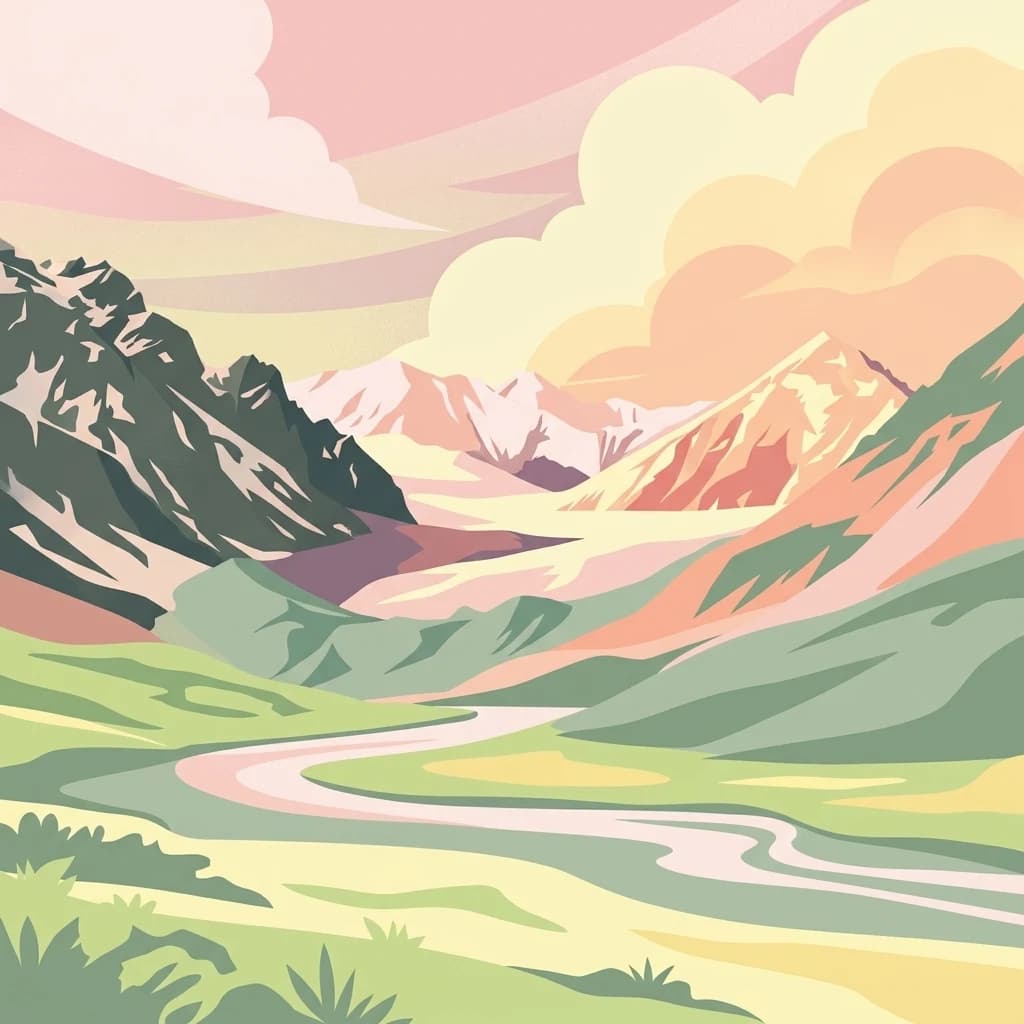
Hingol National Park, in Balochistan, Pakistan. Landscapes: mountains, hills, and valleys.
- Area
- 6,100 km²
- Established
- 1988
- IUCN
- II
- Relief
- Mixed relief
Browse Pakistan's protected lands and their geographic distribution with a comprehensive atlas.
Explore maps and profiles of protected areas in Pakistan, including Hingol and CKNP.
Related tags
Comparing historical designations, regional scale, and climate patterns across South Asian terrain.
Known protected area
Area data available for 56 of 66 parks.
Median park size
Median across 56 parks with known area.
Explore the regional distribution and mapped geography of Pakistan's diverse national parks and conservation landscapes.
Pakistan, officially the Islamic Republic of Pakistan, is a federal parliamentary Islamic republic in South Asia. It is the fifth-most populous country and the 33rd-largest by area. The country gained independence from British India in 1947 and has a diverse history spanning ancient civilizations including Mehrgarh and the Indus Valley Civilisation. Pakistan shares maritime borders with Oman and is bounded by the Arabian Sea, Gulf of Oman, and several neighboring countries.
Trace the geographic distribution of Pakistan's protected landscapes and conservation zones across diverse terrain.

Discover dramatic rock formations and coastal geography.
Hingol National Park, in Balochistan, Pakistan. Landscapes: mountains, hills, and valleys.

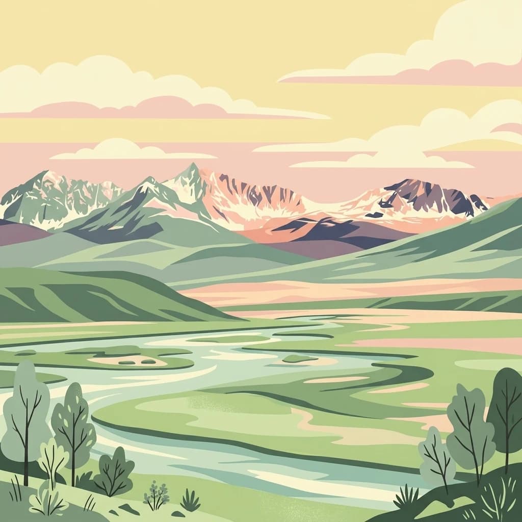
Explore mapped park boundaries and extreme alpine terrain.
Central Karakoram National Park, in Gilgit-Baltistan, Pakistan. Landscapes: mountains, glaciers, and cliffs.

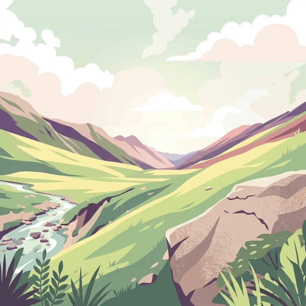
Discover dramatic Karakoram geography, wildlife habitats, and transboundary conservation.
Khunjerab National Park, in Hunza District, Pakistan. Landscapes: mountains, valleys, and cliffs.

Mapped boundaries and unique terrain within Gilgit-Baltistan's geography.
Deosai National Park is a key protected area in Pakistan's Gilgit-Baltistan region, characterized by its high-altitude alpine meadows and expansive plateau terrain. As a national park, it offers crucial insights into mapped landscapes and regional geography, particularly for understanding conservation efforts in extreme environments. The park's setting provides a unique lens through which to explore the distribution and characteristics of protected lands within the broader atlas of natural landscapes.

Explore the mapped geography and unique terrain of this vital national park.
Kirthar National Park represents a critical expanse of protected semi-arid mountainous terrain in southern Pakistan, covering over 3,000 square kilometers. It is recognized for its significant populations of Sindh ibex, urial, and chinkara gazelles, alongside a diverse array of raptors, including migratory vulture and eagle species. The park's unique landscape, characterized by parallel ridges and deep, dry valleys, provides crucial habitat in a region facing considerable development pressures, offering a distinct geographical context for protected area exploration.

Remote island plateau and offshore protected ecosystem
Trace the fractured terrain and limestone cliffs of Astola Island, a significant marine protected area located off the coast of Balochistan. This uninhabited island serves as a critical habitat for seabirds, reptiles, and sea turtles, marking a rare convergence of geological and ecological importance within the northern Arabian Sea.

Discover its mapped geography within Khyber Pakhtunkhwa
Ayubia National Park stands as a key protected landscape within the Himalayan foothills of Khyber Pakhtunkhwa, Pakistan. Its designation as a national park signifies its role in conserving unique temperate coniferous and mixed forests across steep mountainous terrain. This page details the park's geographic setting, its mapped boundaries, and the natural features that define its protected status, offering a structured view for atlas-driven exploration of Pakistan's natural heritage.

Mapped boundaries and regional terrain context for a Pakistani national park.
Gain insight into Salt Range National Park, a significant national park established within Pakistan. This entry focuses on its role as a protected landscape, providing a mapped view of its geographic scope and environmental context. Understand how this park contributes to Pakistan's broader geography and offers opportunities for atlas-based discovery of its natural terrain.
Explore the mapped boundaries and unique geography of this national park.
Lal Suhanra National Park, a expansive national park in Pakistan's Punjab province, is distinguished by its extraordinary ecological mosaic. This UNESCO Biosphere Reserve seamlessly integrates desert regions characterized by dynamic sand dunes with areas of dense forest plantations and vital wetland habitats. The park's terrain offers a fascinating study in contrasts, showcasing how diverse ecosystems can coexist and thrive within a protected area, providing rich context for geographic and landscape exploration. Understand its mapped protected area and its significance within the regional geography.

Explore alpine lakes, mountain scenery, and protected landscape geography.
Lulusar-Dudipatsar National Park stands as a remarkable protected landscape within Pakistan's Western Himalayas. The park's geography is defined by towering peaks and a series of pristine glacial lakes, including the iconic Dudipatsar and Lulusar lakes. Users can explore its mapped terrain and understand its significance as a high-altitude ecosystem and a key component of Pakistan's protected areas network.

Discover the geography and protected boundaries of this Himalayan national park.
Saiful Muluk National Park in Khyber Pakhtunkhwa, Pakistan, is a key protected area characterized by its stunning alpine lake and dramatic Himalayan topography. This entry details the park's geographic scope, mapped landscape features, and its role as a critical national park. Understand the unique subalpine forests and meadow habitats that define this mountainous region and its protected status.

Mapped freshwater wetland and regional wildlife sanctuary
Keenjhar Lake is a prominent freshwater wetland and wildlife reserve in the Thatta District of Sindh. This expansive basin serves as a key ecological anchor for migratory waterbirds and a central feature of the regional landscape. The area combines significant hydrological value with distinct cultural history, providing a unique look into the protected geography of southeastern Pakistan.
Understand how Pakistan is shaped by terrain, ecosystems, and seasonal conditions
Pakistan is located in South Asia, bordered by the Arabian Sea to the south, the Gulf of Oman to the southwest, and shares land borders with India to the east, Afghanistan to the west, Iran to the southwest, and China to the northeast. The country also shares a maritime border with Oman in the Gulf of Oman. The Wakhan Corridor in Afghanistan separates Pakistan from Tajikistan in the northwest.
Pakistan features diverse terrain including the Himalayan mountain range in the north, the Balochistan plateau in the west, the Punjab plains in the east, and the Sindh region along the Indus River. The country contains several ecological zones from coastal wetlands along the Arabian Sea to alpine forests in the mountains.
Pakistan has a varied climate ranging from tropical in the south to alpine in the north. The monsoonal pattern brings summer rains while winters are generally dry. Coastal areas experience more moderate temperatures while interior desert regions see extreme heat and cold.
Related topics and popular queries
Visualize the geographic spread of Pakistan's protected landscapes and discover key conservation areas.
Explore common questions regarding Pakistan's diverse protected landscapes, mapped park geography, and conservation efforts across varied regions.
Explore the Broader Regional Geography and Mapped Protected Landscapes from South Asia
Parks and protected areas in India, including Kaziranga and Keoladeo Ghana.
Parks and protected areas in Kyrgyzstan, including Ala-Archa and Besh-Tash.
Parks and protected areas in Nepal, including Sagarmatha and Chitwan.
Parks and protected areas in Iran, including Golestan and Kavir.
Parks and protected areas in Oman, including Jebel Akhdar and Qurm Reserve.
Parks and protected areas in Afghanistan, including Band-e Amir and Wakhan.
Parks and protected areas in Uzbekistan, including Zaamin and Ugam-Chatkal.
Parks and protected areas in Tajikistan, including Periochi Moytti Toy Ziou.
Protected area types
Deepen your understanding of Pakistan's protected areas by delving into specific designation categories. This route empowers detailed atlas exploration, allowing you to compare national park types and other conservation classifications represented within the country's geography. Continue your discovery of Pakistan's diverse natural landscapes through this structured, classification-focused lens.
Find a park and explore its geography, habitats, and monthly climate.