Mori Atlas logo
Nearby park discovery

Explore the regional geography, landscape distribution, and nearby protected natural zones

Parks near Bale Mountains National Park

Compare protected areas near Bale Mountains National Park, ordered by geographic distance. They include Arsi Mountains and Abijatta-Shalla.

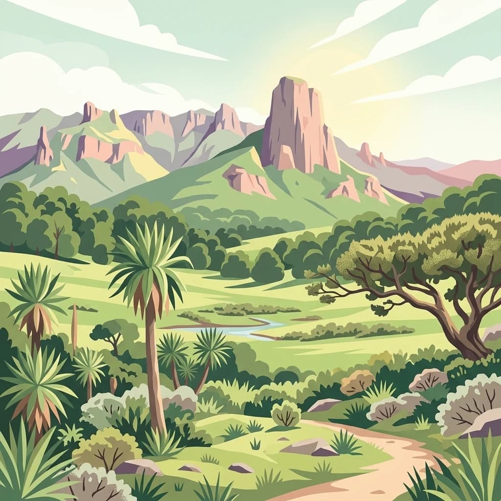
A stylized digital illustration of a mountainous landscape with a prominent peak in the center, a winding dirt path in the foreground, and lush green highland vegetation including scattered palm-like trees.

Ethiopia's highland wilderness with Africa's largest Afromontane habitat and endemic wildlife

Bale Mountains National Park

Bale Mountains National Park is a protected highland wilderness in southeastern Ethiopia, spanning approximately 2,150 square kilometers within the Bale Zone of the Oromia Region. The park encompasses the Bale Mountains and Sanetti Plateau, dramatic alpine terrain that rises to 4,385 meters at Mount Tullu Dimtu, making it one of the highest mountain protected areas in Africa. The park holds the distinction of containing Africa’s largest area of Afromontane habitat, a globally significant ecosystem characterized by montane forests, grasslands, and moorlands that support extraordinary biodiversity. Established in 1970, the park was inscribed as a UNESCO World Heritage Site in 2023, recognizing its outstanding universal value as a center of endemism with one of the highest incidences of animal endemism of any terrestrial habitat in the world. The landscape transitions from the dense Harenna Forest at lower elevations through montane grasslands to the Afro-alpine moorlands of the Sanetti Plateau, creating distinct ecological zones within a relatively compact area.

Location
Ethiopia
Park type
National park
Established
1970
Area
2,220 km²
Highest point
4,385 m
Bale Mountains National Park National Park Atlas
Regional park map

See the ranked park cluster in its geographic setting

Nearby parks around Bale Mountains National Park

This regional map shows the same 18 nearby parks ranked below around Bale Mountains National Park. Select a ranked marker to highlight that park’s boundary where boundary data is available.
Reference park: Bale Mountains National ParkRanked nearby parkSelected boundary: Bale Mountains National Park18 nearby parks shown
18 nearby parks

Geographic proximity and regional protected landscape comparisons for Bale Mountains National Park

Ranked Nearby Parks and Protected Areas Surrounding Bale Mountains National Park

Examine the ranked collection of nearby protected areas measured by direct geographic separation from Bale Mountains National Park. Analyze surrounding regional park geography and recorded environmental traits to understand broader conservation patterns across the surrounding terrain.
National parkArsi Zone
About 103 km away#1 closest

North

Arsi Mountains National Park: Protected Ethiopian Highlands Landscape & Geography

Mapped protected terrain and endemic species habitat within the Arsi Zone.

Arsi Mountains National Park is a vast protected area celebrated for its significant biodiversity and distinctive Afro-alpine ecosystems. Situated in the Arsi Zone, this national park encompasses a dramatic mountain landscape central to the Ethiopian Highlands. It serves as a crucial refuge for endangered endemic species, including the mountain nyala and Ethiopian wolf, within its varied ecological zones and protected park boundaries, offering rich context for geographic exploration.

Area
10,876 km²
Established
2011
IUCN
II
Relief
Mountain
National parkEthiopia
About 124 km away#2 closest

Northwest

Abidjatta-Shalla National Park: Ethiopian National Park and Rift Valley Bird Habitat

Mapped terrain and protected wetland ecology in the Ethiopian Rift Valley.

Explore Abidjatta-Shalla National Park, a significant protected area in Ethiopia renowned for its stunning avian spectacles, particularly the vast flamingo colonies on Lake Abijatta. This national park's landscape is defined by the distinct volcanic geology of the Rift Valley, featuring both shallow alkaline waters and deeper lakes that create diverse wetland ecosystems. Understand its geographic placement within Ethiopia and its importance as a major birdwatching destination, offering insights into unique protected natural landscapes.

Area
887 km²
Established
1974
IUCN
II
Relief
Mountain
A stylized illustration of a waterfall flowing over dark rocks, surrounded by savanna acacia trees and tall grasses under a pastel sky.
National parkEthiopia
About 221 km away#3 closest

North

Awash National Park

Discover the protected landscape of this Ethiopian National Park.

Awash National Park, in Ethiopia. Landscapes: valleys, grasslands, and wetlands.

Area
850 km²
Established
1966
IUCN
II
Relief
Mixed relief
A stylized digital illustration of a golden savanna landscape under a soft pastel sunset, featuring rolling grassy hills, scattered shrubs, and distant mountain peaks.
National parkSouth Ethiopia Regional State
About 229 km away#4 closest

West

Nechisar National Park: Protected Natural Landscape in South Ethiopia Regional State

Explore the mapped geography and protected area context of this Ethiopian park.

Nechisar National Park is designated as a national park, serving as a critical protected natural area within the South Ethiopia Regional State. This MoriAtlas entry provides detailed geographic context, focusing on the park's mapped boundaries and its place within the regional landscape. Users can explore the park's identity as a protected territory, offering a foundation for understanding Ethiopia's natural protected areas through a geographic lens.

Area
1,030 km²
Established
1974
IUCN
II
Relief
Mixed relief
National parkEthiopia
About 252 km away#5 closest

West

Maze National Park: Ethiopia's Essential National Park for Swayne's Hartebeest and Geothermal Wonders

Discover mapped savanna ecosystems and unique montane geography within this protected Ethiopian landscape.

Maze National Park represents a significant protected area within Ethiopia, vital for the conservation of the endangered Swayne's hartebeest. Its diverse terrain includes savanna grasslands and unique geothermal features such as active geysers, all set against a distinctive montane backdrop. This national park offers a deep dive into Ethiopia's natural heritage, providing a clear geographic identity and valuable context for landscape exploration.

Area
210 km²
Established
2005
IUCN
II
Relief
Mixed relief
National parkMandera County
About 277 km away#6 closest

Southeast

Malka Mari National Park: Remote Frontier Protected Landscape and Dawa River Ecosystem

Explore the semi-arid bushland and riparian woodland geography.

Malka Mari National Park offers a profound wilderness experience as Kenya's most remote national park, situated along the Dawa River in Mandera County. This protected area features striking contrasts between arid bushland and verdant riparian woodlands, supporting unique plant species and wildlife adapted to the semi-arid environment. Its vast, undeveloped character makes it a significant site for frontier conservation and a unique destination for atlas-style landscape exploration.

Area
1,500 km²
Established
1989
IUCN
II
Climate
Arid
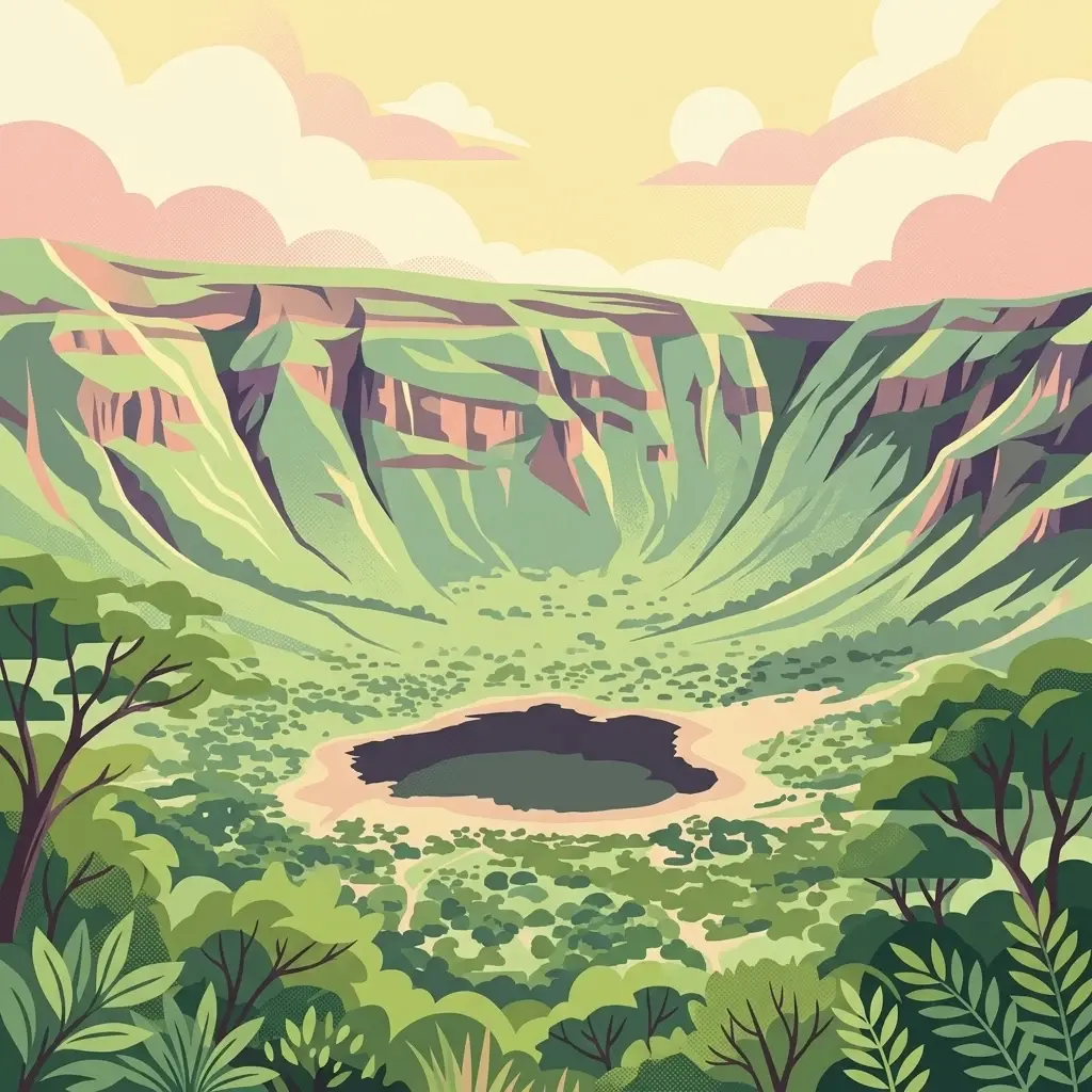
A digital illustration of a bowl-shaped volcanic crater with a dark lake at the bottom, surrounded by steep cliffs and lush vegetation under a soft pastel sky.
National parkEthiopia
About 284 km away#7 closest

Southwest

Borena National Park: Ethiopia's Protected Landscape and National Park Geography

Discover mapped boundaries and regional landscape context.

Borena National Park is an important protected area in Ethiopia, offering a detailed view of its natural landscape and geographic setting. As a national park, it serves as a key entity for exploring regional geography and understanding protected land distribution within the Horn of Africa. This resource provides structured information on its mapped boundaries and overall landscape character, crucial for atlas-based discovery of Ethiopian natural areas.

Area
45,366 km²
Established
1986
IUCN
II
Relief
Mountain
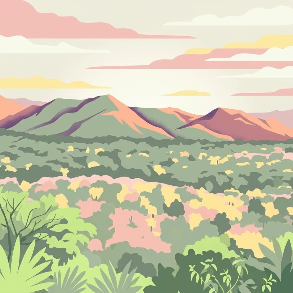
A digital illustration showing a panoramic view of layered mountains and lush forest, rendered in a palette of muted greens, pinks, and yellows.
National parkSouth West Ethiopia Peoples' Region
About 309 km away#8 closest

West

Chebera Churchura National Park: Ethiopia's National Park Protected Landscape Explorer

Mapping the protected area and regional geography of Chebera Churchura.

Chebera Churchura National Park is a key protected landscape in the South West Ethiopia Peoples' Region, designated as a national park. This page provides detailed geographic context and atlas-level information about the park's boundaries and its place within the regional terrain. Engage with the structured data that defines Chebera Churchura National Park's identity as a significant natural area for map-based discovery.

Area
1,250 km²
Established
2006
IUCN
II
Climate
Tropical
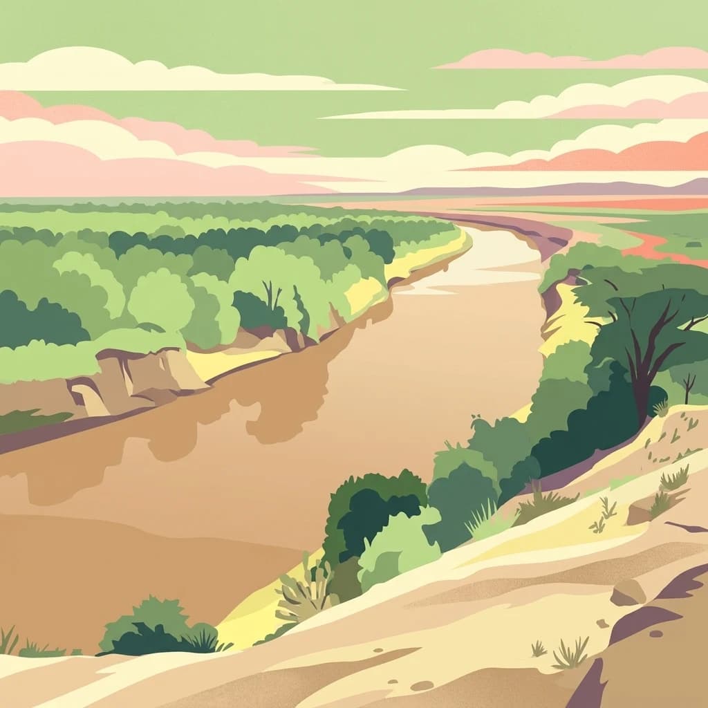
A flat-style digital illustration showing a wide, brown, winding river flowing through a lush green valley bordered by sandy slopes and low trees under a pastel sky.
National parkEthiopia
370 km away#9 closest

West

Omo National Park: Ethiopia's Remote Protected Landscape with Rich Wildlife Spectacles

Mapped boundaries, savannah plains, and Maji Mountains terrain.

Omo National Park is a remote protected area in Ethiopia renowned for its expansive savannah, riverine woodlands, and remarkable wildlife concentrations. Covering over 4,000 square kilometers, this national park presents a landscape of sweeping plains, the vital Omo River corridor, and the dramatic Maji Mountains. The park's protected status safeguards exceptional populations of large mammals, offering a glimpse into an untamed African wilderness. Explore the mapped geography and the unique ecological zones that contribute to its significant conservation value.

Area
4,068 km²
Established
1980
IUCN
II
Relief
Mixed relief
National parkEthiopia
About 373 km away#10 closest

Northwest

Didessa National Park: Protected River Valley Landscape in Ethiopia's Western Highlands

Discover dramatic escarpments, forested terrain, and waterfalls.

Explore Didessa National Park, a protected area in western Ethiopia notable for its dramatic topographical features. This national park showcases a striking landscape of steep escarpments flanking the Didessa River valley, supporting lush forest ecosystems. Key features include numerous waterfalls that contribute to the park's distinctive terrain and ecological significance. Understanding Didessa National Park offers insight into Ethiopia's protected lands and their unique geographic attributes.

Area
1,300 km²
Established
2017
IUCN
II
Relief
Lowland
A flat-style digital illustration of an open, dry savanna landscape with sparse vegetation, a winding dirt path in the foreground, and arid hills under a blue sky with clouds.
National parkSouth Ethiopia Regional State
About 389 km away#11 closest

West

Mago National Park

Discover the unique landscapes and wildlife habitats mapped within this national park.

Mago National Park, in South Ethiopia Regional State, Ethiopia. Landscapes: rivers, forests, and wetlands.

Area
2,220 km²
Established
1979
IUCN
II
Relief
Mixed relief
National parkAfar Region
401 km away#12 closest

North

Yangudi Rassa National Park: Protected Semi-Desert National Park in Afar Region

Mapped landscape and dryland ecosystems.

Yangudi Rassa National Park represents a critical protected area within Ethiopia's Afar Region, covering extensive semi-desert and grassland terrains. The park's geography is marked by Mount Yangudi and the broad Rassa Plains, with the Awash River shaping its riverine forests and marshes. This national park offers a unique insight into dryland ecosystems and their conservation, providing a distinct mapped landscape for geographic study and exploration.

Area
4,731 km²
Established
1969
IUCN
II
Relief
Mixed relief
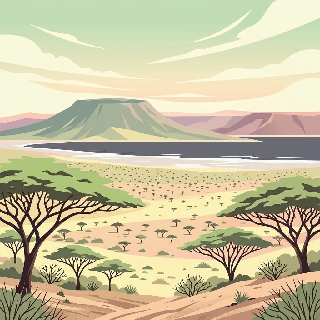
A flat-style digital illustration depicting a dry, rocky desert landscape with acacia trees in the foreground and a calm lake with distant hills in the background under a soft, pastel-colored sky.
National parkRift Valley Province
About 456 km away#13 closest

Southwest

Sibiloi National Park: National Park with Mapped Geographic Boundaries

Explore the protected landscape of Rift Valley Province.

Sibiloi National Park is a designated national park offering a distinct protected landscape within the broader geographic region of Rift Valley Province, Kenya. This entry focuses on its mapped boundaries and its identity as a key area for conservation, providing a structured view for geographic atlas exploration. Understand the foundational elements of Sibiloi National Park's protected status and its place within regional natural landscapes.

Area
1,570.85 km²
Established
1973
IUCN
II
Relief
Mixed relief
A flat-style digital illustration showing a circular crater lake surrounded by forested slopes and rocky terrain under a soft sun, with an expansive arid plain and distant hills in the background.
National parkMarsabit County
About 486 km away#14 closest

South

Marsabit National Park: Protected Area Identity and Geographic Setting in Kenya

Explore mapped landscape and regional park geography.

Marsabit National Park represents a critical protected area within the geographic expanse of Marsabit County, Kenya. This entry provides essential context for understanding the park's specific identity as a national park, its delineated boundaries, and its place within the natural landscape. For those interested in atlas-style exploration, this park detail offers foundational geographic information and insights into its protected status, anchoring its role in a broader discovery of Kenya's natural heritage.

Area
1,554 km²
Established
1949
Relief
Mountain
Climate
Subtropical
An illustrative aerial view of an island with multiple volcanic craters and crater lakes surrounded by a large body of water, depicted in a stylized graphic art style.
National parkKenya
About 514 km away#15 closest

Southwest

Central Island National Park: Kenya National Park Atlas and Protected Landscape

Discover the mapped geography and protected area context.

Central Island National Park is a designated national park in Kenya, offering a distinct protected landscape within the country's expansive Rift Valley. This detailed entry focuses on the park's geographic identity and its significance as a protected area, providing users with clear information on its mapped boundaries and regional landscape context. Dive into the specific geography and natural terrain that distinguish Central Island National Park for comprehensive atlas-style exploration.

IUCN
II
Scope
Mixed
National parkDjibouti
About 546 km away#16 closest

Northeast

Yoboki National Park: Djibouti National Park Geographic Atlas Explorer

Discover its mapped boundaries and regional terrain.

Yoboki National Park is a key protected area within Djibouti, offering a distinct focus for geographic exploration. This entry provides structured information to understand the park's mapped landscape and its position within the Horn of Africa's regional geography. Delve into the park's protected land identity and terrain context, essential for atlas-based discovery and appreciating its natural features.

IUCN
II
Relief
Mixed relief
Climate
Arid
Scope
Terrestrial
National parkTadjourah Region
About 606 km away#17 closest

Northeast

Day Forest National Park: Ancient Juniper Woodland and Protected Landscape in Djibouti

Discover a rare East African forest refuge with unique endemic species.

Day Forest National Park represents a critical ecological island within Djibouti's predominantly semi-desert geography. As the nation's oldest national park, it protects the largest remaining East African juniper forest, a vital sanctuary for species found nowhere else on Earth. Located in the Goda Mountains of the Tadjourah Region, its existence relies on rare localized rainfall, creating a distinctive mountainous forest environment that offers profound insights into protected landscape dynamics and regional biodiversity.

Area
15 km²
Established
1939
IUCN
II
Relief
Mountain
National parkEthiopia
About 612 km away#18 closest

West

Gambela National Park: A Protected National Park within Ethiopia's Geography

Explore mapped landscape features and protected area context.

Gambela National Park represents a vital component of Ethiopia's protected areas network, offering a distinct focus for geographic and atlas exploration. This page provides detailed insights into the park's specific location within Ethiopia, its mapped boundaries, and its significance as a national park. Understand the park's role in the regional landscape and how it contributes to the broader conservation geography of East Africa, providing a valuable resource for structured discovery.

Distance methodology

Geographic measurements, not driving distances

How nearby park distances are calculated

Distances use park boundaries whenever the available geometry allows it. When one or both boundaries are missing, the mapped park locations provide a clearly labelled estimate. Every value represents straight-line geographic separation and does not use roads or routing.

Boundary distance

Calculated between the nearest points of both park boundaries.

Location-to-boundary estimate

Estimated from one mapped park location to the nearest boundary of the other park.

Mapped-location estimate

Estimated between the mapped locations of both parks.

MoriAtlas Explorer

Bale Mountains National Park

Explore the map, landscapes, and protection details for Bale Mountains National Park.