Mori Atlas logo
Nearby park discovery

Mapping regional landscapes and surrounding conservation zones for geographic discovery

Protected Areas and National Parks Situated Near Buzuluksky Bor National Park in Russia

Examine the geographic distribution of protected lands surrounding Buzuluksky Bor National Park. This regional atlas view identifies neighboring conservation areas to clarify the broader landscape context of this unique forest island and the surrounding steppe environments of southwestern Russia.

A stylized vector illustration featuring a lush valley with a winding river, a waterfall cascading down a mountain face, evergreen trees in the foreground, and a bright sun in a soft-colored sky.

World's largest isolated pine forest on the East European steppe

Buzuluksky Bor National Park

Buzuluksky Bor National Park protects the Buzuluk Pine Forest, an extraordinary natural formation that stands as the largest grove of isolated high pine trees anywhere in the world. This triangular patch of forest occupies approximately 106,000 hectares straddling the border between Samara Oblast and Orenburg Oblast in southwestern Russia. The park is situated on the East European Plain, surrounded entirely by dry steppe grasslands that create a striking contrast between the forested interior and the open plains beyond. The forest occupies a large hollow filled with sandy sediments of marine genesis, with sands reaching depths of 90 meters, and represents a unique ecological island in the middle of an expansive grassland landscape. This makes the park an important site for scientific study of forest-steppe interactions and early forest management practices in Russia.

Location
Russia
Park type
National park
Established
2007
Area
1,060 km²
Explore Buzuluksky Bor National Park Geography
Regional park map

See the ranked park cluster in its geographic setting

Nearby parks around Buzuluksky Bor National Park

This regional map shows the same 13 nearby parks ranked below around Buzuluksky Bor National Park. Select a ranked marker to highlight that park’s boundary where boundary data is available.
Reference park: Buzuluksky Bor National ParkRanked nearby park13 nearby parks shown
13 nearby parks

Distance-ranked conservation areas and surrounding regional park geography

Parks and Protected Areas Geographically Near Buzuluksky Bor National Park

Geographic separation metrics organize nearby protected areas around Buzuluksky Bor National Park to establish structured regional comparison signals. Evaluating these neighboring landscapes highlights broader ecological patterns across the surrounding terrain without implying uniform environments.
Watercolor illustration of a river flowing through a valley with green hills and scattered trees in the background
National parkSamara Oblast
About 134 km away#1 closest

West
Samarskaya Luka National Park: Mapped Geography and Protected Area Landscape Context

An atlas-focused overview of the Zhiguli Mountains and Volga River meander.

Samarskaya Luka National Park covers 134,000 hectares of diverse terrain in Samara Oblast. This overview examines the protected area's karst limestone uplands, dense forests, and river floodplains. Access map-integrated data on the Volga River bend and the unique geological formations defining this regional ecosystem.

Area
1,340 km²
Established
1984
IUCN
II
Relief
Mixed relief
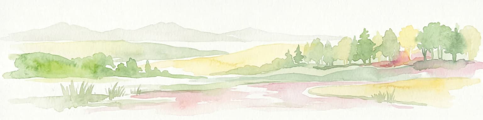
A horizontal watercolor painting showing a stylized, layered landscape of rolling green hills, a calm river, and hints of forest, rendered in soft pastel tones against a white background.
Wildlife reserveWest Kazakhstan Region
About 177 km away#2 closest

South

Kirsanov Sanctuary: Protected Floodplain Landscapes and Ural River Geography

Wildlife reserve and riverine corridor in West Kazakhstan

Spanning 50 kilometers along the Ural River, Kirsanov Sanctuary preserves a rich mix of floodplain meadows, gallery forests, and oxbow lakes. Originally established for beaver conservation, this wildlife reserve now functions as a complex ecosystem refuge, representing a key protected landscape within the West Kazakhstan regional geography.

Area
610 km²
Established
1967
IUCN
IV
Relief
Lowland
Watercolor painting of a meadow with wildflowers and rolling hills under a soft sky
National parkRussia
About 266 km away#3 closest

Northwest

Sengileevskie Mountains National Park: National Park Protected Area and Mapped Landscape Context

Explore protected boundaries and regional geography.

Uncover the geographic specifics of Sengileevskie Mountains National Park, a designated national park. This entry provides detailed insights into its protected area status, mapped landscape features, and regional context, serving as a foundational element for atlas-based exploration and understanding of Russia's conservation areas.

IUCN
II
Watercolor illustration of green hills, a body of water, and pink and yellow vegetation
National parkSaratov Oblast
About 277 km away#4 closest

West

Khvalynsky National Park: Protected Landscape and Regional Geography Atlas

Discover mapped park boundaries in Saratov Oblast

Khvalynsky National Park is a significant protected area designated as a national park within the Saratov Oblast. This entry provides detailed atlas-based insights into its geographic scope, protected landscape features, and its context within the wider regional geography of Southeastern European Russia. Explore the mapped terrain and understand how this park contributes to the conservation landscape of the Volga region.

Area
255 km²
Established
1994
IUCN
II
Visitors
35K annual
Watercolor painting showing a scenic landscape with mountains, a river, and trees
National parkBashkortostan
About 296 km away#5 closest

East

Bashkiriya National Park: Mapping Karst Landscapes and Ural Forest Geography

Exploring protected terrain in the Bashkortostan region

Bashkiriya National Park anchors a critical conservation area along the southern Ural Mountains, characterized by its deep canyons, limestone grottoes, and vast subterranean cave networks. The park serves as a bridge for biodiversity at the continental edge, where river-carved valleys and dense taiga forests create a distinct, protected landscape for regional research and geographic study.

Area
920 km²
Established
1986
IUCN
II
Visitors
30K annual
Watercolor illustration showing a river flowing through a valley with trees and distant mountains
National parkTatarstan
About 312 km away#6 closest

North

Nizhnyaya Kama National Park: An Atlas of Protected Forests and Riverine Geography in Tatarstan

Examining boreal forest ecosystems along the Kama River corridor

Discover the geographic structure of Nizhnyaya Kama National Park, a protected region in Tatarstan featuring significant pine-dominated forests. This assessment details the park's isolated clusters, riverbank topography, and the ecological transition between elevated ravine systems and lowland wetlands within the Volga river basin.

Area
265.87 km²
Established
1991
IUCN
II
Relief
Lowland
Protected areaRussia
About 377 km away#7 closest

Northwest

Chuvash Forest Protected Area: Explore Russian Volga Region's Mixed Woodland Ecosystems

Discover mapped boundaries and regional landscape context.

Chuvash Forest stands as a protected area defined by its mixed woodland ecosystems within Russia's Volga region. This entry provides detailed geographic context, highlighting the park's mapped boundaries and its role as a distinct natural landscape. It serves as an essential point for understanding the environmental character and regional significance of protected lands in Eastern Europe, aiding structured atlas exploration of Russia's natural geography.

IUCN
II
Climate
Temperate
Access
Access unknown
Scope
Terrestrial
Watercolor illustration of a winding river through a valley with rolling hills and sparse vegetation under a soft sky
National parkUdmurt Republic
About 424 km away#8 closest

North

Nechkinsky National Park: Protected River Valleys and Wetlands in the Udmurt Republic of Russia

Geographic analysis of Kama River floodplains and forest-steppe terrain.

Nechkinsky National Park provides a critical study of river valley geography and protected ecosystems. Its unique terrain includes steep slopes; extensive floodplain terraces; and the coastal zones of the Votkinsk reservoir. This area serves as both a natural biological habitat for rare species and an important archaeological site preserving history from the Ananyino culture.

Area
208 km²
Established
1997
IUCN
II
Relief
Mixed relief
Watercolor illustration showing a lake, forested hills, and mountains in the background
National parkRussia
About 426 km away#9 closest

Northwest

Mariy Chodra National Park: Geographic and Protected Area Mapping for Russian Forests

Regional forest landscapes and protected Russian terrain

Mariy Chodra National Park is an essential protected natural area located in Russia, distinguished by its forest-dominated ecosystems. This entry provides detailed geographic context and boundary information for those studying the distribution of protected landscapes across the Russian Federation.

Area
366 km²
Established
1985
IUCN
II
Relief
Upland
An illustrative digital drawing showing a wide aerial view of Zhaltyrkol Sanctuary, featuring a winding river and wetland lake surrounded by grassy plains and scattered shrubs.
Wildlife reserveWest Kazakhstan Region
About 437 km away#10 closest

South

Zhaltyrkol Sanctuary: A Wildlife Reserve in the West Kazakhstan Steppe Mosaic

Mapping wetland habitats along the Kushum and Ural River basins.

Zhaltyrkol Sanctuary encompasses a unique steppe-and-wetland mosaic, featuring shallow lakes such as Zhaltyrkol and Itbatyr. It provides a protected habitat for waterfowl and game species, maintaining essential breeding grounds within the flat, open terrain of the West Kazakhstan Region.

Area
190 km²
Established
1967
IUCN
IV
Relief
Lowland
A horizontal watercolor painting showing a soft, stylized landscape with rolling hills, distant mountains, forested areas, and a meandering stream or marshy foreground.
National parkSaratov Oblast
About 452 km away#11 closest

Southwest

Dyakovsky Forest National Park: Protected Forest Landscapes and Steppe Geography in Saratov Oblast

A rare woodland island mapping project in the Russian Trans Volga region.

Dyakovsky Forest National Park stands as a significant natural monument in Saratov Oblast, preserving a rare mosaic of forest patches on sand-plain terraces. As the southernmost natural forest massif in Europe, it provides an essential study in ecological resilience, where woodland habitats thrive against the backdrop of the extensive Eurasian steppe. The territory features a complex interplay of riverine environments, oak groves, and psammophyte vegetation.

Area
185.32 km²
Established
2023
Relief
Lowland
Climate
Arid
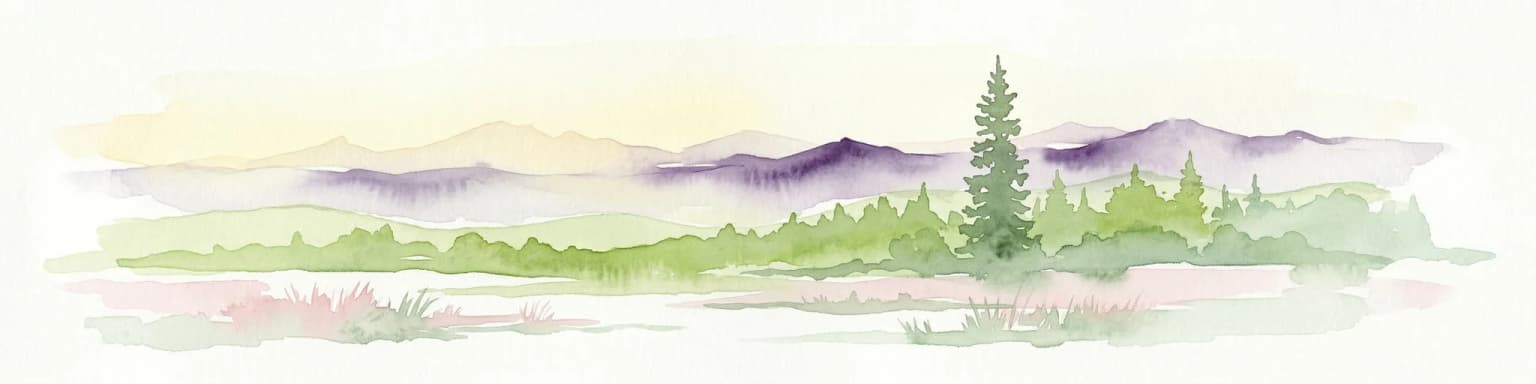
Watercolor illustration of a mountain range with purple peaks, green hills, a single tall pine tree, and pinkish foreground vegetation
National parkChelyabinsk Oblast
About 457 km away#12 closest

Northeast

Zigalga National Park: Geography, Alpine Terrain, and Protected Wilderness Areas

A vital ecological corridor within the Chelyabinsk Oblast of Russia

Zigalga National Park serves as a pristine natural sanctuary at the crossroads of Europe and Siberia. The territory features steep mountainous ridges, expansive peat bogs, and vertical floral zonation that defines the Southern Ural landscape. This protected area provides a stable environment for rare boreal plant species and remains largely untouched by development, offering a valuable record of subarctic ecosystem health.

Area
457 km²
Established
2019
IUCN
II
Relief
Mountain
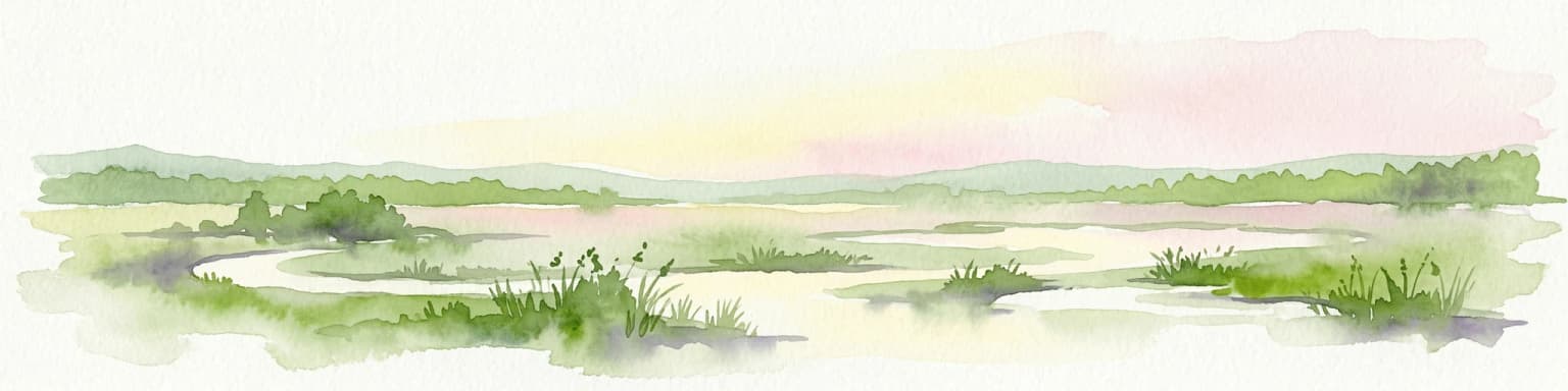
Watercolor painting of a river winding through grassy wetlands with distant hills under a pastel sky
National parkRepublic of Mordovia
About 470 km away#13 closest

Northwest

Smolny National Park: National Park Protected Area and Geographic Context in Republic of Mordovia

Explore the mapped landscape and regional geography of Smolny National Park.

Delve into the specifics of Smolny National Park, a designated national park in Russia's Republic of Mordovia. This detailed atlas view focuses on its protected area identity and geographic setting, providing essential context for understanding its landscape. Discover the mapped boundaries and regional placement that define this protected territory, crucial for any structured exploration of Russian natural areas.

Area
365 km²
Established
1995
IUCN
II
Relief
Lowland
Distance methodology

Geographic measurements, not driving distances

How nearby park distances are calculated

Distances use park boundaries whenever the available geometry allows it. When one or both boundaries are missing, the mapped park locations provide a clearly labelled estimate. Every value represents straight-line geographic separation and does not use roads or routing.

Boundary distance

Calculated between the nearest points of both park boundaries.

Location-to-boundary estimate

Estimated from one mapped park location to the nearest boundary of the other park.

Mapped-location estimate

Estimated between the mapped locations of both parks.

MoriAtlas Explorer

Continue Exploring the Protected Landscapes of Buzuluksky Bor National Park

Deepen your understanding of this significant Russian forest entity by tracing its unique boundaries, river systems, and geological formations. MoriAtlas provides a structured perspective on the park's isolated pine ecosystem and its distinct role within the broader landscape of the East European Plain.