Southwest
Charyn National Park
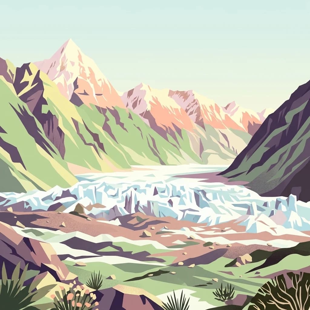
Explore its dramatic canyons and ancient Sogdian ash groves.
Charyn National Park, in Almaty Region, Kazakhstan. Landscapes: mountains, canyons, and rivers.
- Area
- 1,250 km²
- Established
- 2004
- IUCN
- II
- Relief
- Mountain

Map-based regional geography and park distribution within the Almaty landscape
Explore the geographic distribution of protected areas and natural sites surrounding Charyn Ash Grove in southeastern Kazakhstan. This analysis of regional topography and mapped park boundaries provides a clear overview of the landscape context, helping to place this unique riverine forest within the broader Almaty regional geography and surrounding steppe environments.

A relict Sogdian ash forest surviving along the Charyn River in southeastern Kazakhstan.
Charyn Ash Grove is a relict forest of the Sogdian ash (Fraxinus sogdiana) located in the Sartogay tract of Almaty Oblast in southeastern Kazakhstan. The grove sits along the middle course of the Charyn River, where the unique riparian conditions of the river and its tributary Temirlik have allowed this tree species to survive in an arid steppe and semi-desert setting where it would otherwise not persist. The ash grove is botanically remarkable because botanists classify the Sogdian ash as "river-loving," meaning that it only grows in close proximity to rivers. Because of this strict ecological requirement, the species has retreated into isolated pockets along the Charyn and within the Temirlik canyon, and the Charyn grove is one of the last places in the world where it survives in such a concentrated form. The site has been formally recognized as a protected natural monument since 1964 and now lies within the boundaries of Charyn National Park. Because logging and grazing are prohibited, the grove is actively guarded by several forest ranger posts, making it both an ecological stronghold and a cultural landmark of the broader Charyn landscape.
See the ranked park cluster in its geographic setting
Distance-ranked protected landscapes and regional park geography surrounding Charyn Ash Grove

Southwest
Explore its dramatic canyons and ancient Sogdian ash groves.
Charyn National Park, in Almaty Region, Kazakhstan. Landscapes: mountains, canyons, and rivers.

Northwest
Explore unique geological wonders and ancient Saka history.
Altyn-Emel National Park, in Almaty Region, Kazakhstan. Landscapes: mountains, deserts, and valleys.

Northwest
A stationary desert landmark within the Dzungarian Alatau foothills.
Singing Dune (Поющий бархан) is a prominent geological landmark in the Altyn-Emel National Park of the Almaty Region. This massive sand barchan, anchored between two mountain ridges, is recognized for its unique ability to produce resonant organ-like sounds. The surrounding terrain blends arid desert dunes with the striking silhouettes of the Dzungarian Alatau foothills and the distant Ili River valley.

Southwest
Mapped Tian Shan mountain geography and glacial lake context.
Kolsay Lakes National Park, in Almaty Region, Kazakhstan. Landscapes: mountains, valleys, and lakes.
Southwest
Explore the geographic context and mapped boundaries of this Kyrgyz national park.
Delve into Karakol State Nature Park, a designated national park contributing to Kyrgyzstan's rich protected lands catalog. This entry provides essential details for understanding its protected landscape identity, its geographic setting within the Central Asian mountains, and its mapped presence within a broader atlas of natural areas. Discover the park's unique role as a mapped conservation zone and its contribution to regional geographic context.

North
Almaty Region's critical wild apple forest and glaciated terrain.
Zhongar-Alatau National Park in Kazakhstan's Almaty Region is a significant protected landscape renowned for its role in conserving the genetic origins of cultivated apples. The park encompasses dramatic glaciated mountain ranges, deep canyons, and diverse ecosystems within the Dzungarian Alatau. Its mapped boundaries define an area vital for protecting unique wild fruit tree species, including the Sievers apple, and preserving the distinctive alpine terrain of southeastern Kazakhstan, offering rich context for geographic exploration.

South
Explore protected landscapes and geographic context.
Khan-Tengri State Nature Park is a designated protected area in Kyrgyzstan, offering unique insights into the region's mountainous geography. This page serves as a detailed atlas entry, highlighting the park's protected landscape characteristics, its mapped boundaries, and its place within the broader natural terrain of Central Asia. Understand the geographic identity of this state or regional park and its contribution to conservation landscapes.
Northeast
A vital montane spring and alpine grassland protected area in the Western Tianshan.
The Xinjiang Wenquan Xinjiang Salamander National Nature Reserve serves as a dedicated refuge for relict amphibian populations within the Tianshan mountain system. Its small footprint concentrates on preserving the integrity of cold-water spring brooks and snowmelt-driven seepage zones that form the backbone of this regional ecosystem. The reserve provides a clear example of targeted habitat management within the diverse topography of northwestern China.
Northeast
Nature reserve boundaries within the Xinjiang Uyghur Autonomous Region
Located in the Xinjiang Uyghur Autonomous Region, the 新疆霍城四爪陆龟国家级自然保护区 represents a unique loess hill ecosystem. This atlas profile details the protected boundaries, erosion-carved terrain, and the semi-arid sagebrush steppe habitat essential for the four-clawed tortoise population, providing deep geographic context for this national nature reserve.

West
Mapped boundaries, diverse ecosystems, and mountain wilderness.
Ile-Alatau National Park, in Almaty Region, Kazakhstan. Landscapes: mountains, valleys, and forests.

Southeast
Tian Shan mountain reserve featuring extensive valley glacier systems and vertical ecosystem transitions.
Centering on the Tomur and Hantengri peaks, this nature reserve forms the largest glacial concentration in the Tian Shan range. The landscape is defined by its extreme topographic relief, massive dendritic glaciers, and a complete altitudinal sequence of ecosystems. This overview provides a structured look at the reserve's unique mountain geography, from its glacial moraines and high-altitude wildlife habitats to the alluvial fans bordering the Tarim Basin.
East
Conservation focus on rare riparian ash forest ecosystems in Xinjiang
Spanning the alluvial floodplains of the Kashi and Ili Rivers, this nature reserve is a scientific stronghold for the narrow-leaved ash. The protected area showcases multi-generational forest structures and diverse ancient plant lineages, shaped by a sheltered Tianshan valley microclimate that remains unusually humid for the arid landscapes of inland Xinjiang.
West
State or Regional Park with Alpine Valleys and Glacial Lakes
Chong-Kemin Nature Park offers a rich geographic exploration of Kyrgyzstan's Tian Shan mountain region. This state or regional park encompasses approximately 123,564 hectares, defined by the extensive Chong-Kemin River valley and seven glacial lakes. Its landscape provides crucial habitat within a protected area, showcasing alpine terrain and river ecosystems. Users interested in mapped protected areas and regional park geography will find Chong-Kemin Nature Park a key point for understanding Kyrgyzstan's natural heritage.
East
A high-altitude forest and mountain nature reserve in Gongliu County.
This nature reserve encompasses a vast altitudinal range and complex river drainage systems in the western Tianshan. It is defined by its deep river gorges, glaciated peaks, and ancient spruce stands, functioning as a moist island for diverse Central Asian flora and fauna within an otherwise arid regional geography.

Southwest
Strictly protected mountain terrain and river basin geography
Naryn Nature Reserve encompasses a vast protected area in the Naryn Region of Kyrgyzstan, showcasing the diverse ecological and geological character of the inner Tien Shan. The reserve functions as a vital anchor for regional biodiversity, spanning high plateaus, river valleys, and isolated mountain ridges that remain largely untouched by development.

Northeast
Protected lake basin and avian flyway conservation site.
Alakol Nature Reserve offers a deep look into the desert-wetland interface of southeastern Kazakhstan. Centered on the Tentek River delta and Lake Alakol islands, the reserve safeguards rare colonial bird habitats within a striking arid tectonic basin. Discover the geographic interplay between saline flats, riparian vegetation, and expansive lake environments that define this international conservation site.
Southwest
Explore its natural terrain and regional geographic context.
Salkyn-Tor State Nature Park stands as a key protected area, offering a distinct geographic identity within Kyrgyzstan's mountainous geography. This park serves as a focal point for understanding mapped protected lands in Central Asia. Delve into the park's regional context to appreciate its contribution to the natural landscape. MoriAtlas provides detailed geographic insights, enabling a structured exploration of Salkyn-Tor State Nature Park's protected boundaries and its place within the atlas of natural terrain.
Northeast
Examining desert terrain and dune geomorphology in northwestern Xinjiang
Explore the structured geography of the Xinjiang Ganjiahu Haloxylon National Nature Reserve, which guards an expansive and ecologically critical saxaul woodland corridor. This protected area stands as a representative example of temperate desert systems in the Ebinur Basin, offering insight into wind-shaped dune landscapes, saline-alkali soil patterns, and the historic riverbeds that once connected Tien Shan meltwater to the regional basin floor.

Northeast
Explore the mapped boundaries and ecosystem of this national park.
Tarbagatai National Park is a protected area in East Kazakhstan recognized for its unique role in conserving wild fruit tree forests that have maintained genetic isolation. This national park provides a detailed view of a mountain-steppe ecosystem across the Tarbagatai mountain range, Karabas Mountains, and Arkaly Mountains, along with the Urzhar and Emel river valleys. Its establishment in 2018 highlights its importance for biodiversity and the study of natural forest genetics, offering significant geographic context for regional protected land exploration.
Northeast
Mountain forest sanctuary in Tacheng Prefecture, Xinjiang
The Xinjiang Barkol Mountain National Nature Reserve protects a diverse mountain environment where the Barkol range captures moisture-bearing winds. Known for its globally significant stands of wild almond and Xinjiang wild apple, the reserve features a complex landscape of rocky ridges, forested slopes, and deep river valleys that sustain rare montane species and resilient endemic flora.
Geographic measurements, not driving distances
Calculated between the nearest points of both park boundaries.
Estimated from one mapped park location to the nearest boundary of the other park.
Estimated between the mapped locations of both parks.
Examine the unique riparian geography and ecological boundaries of the Charyn Ash Grove. Through MoriAtlas, trace how this relict forest maintains its position within the broader Almaty Region and understand the terrain characteristics that support this distinct protected natural monument in southeastern Kazakhstan.