Mori Atlas logo
Nearby park discovery

Mapping the surrounding protected zones and marine geography of Grande Comore

Regional Protected Areas and Geographic Landscapes Near Coelacanth National Park

This geographic assessment identifies protected areas and marine conservation zones situated near Coelacanth National Park. By analyzing the surrounding seascape and volcanic topography of Grande Comore, the platform provides a clear view of regional landscape connectivity and the distribution of protected environments throughout the Indian Ocean.

Related tags

Marine Protected AreaIndian OceanCoral ReefCoelacanthCetaceans

A marine sanctuary protecting the legendary coelacanth off Grande Comore

Coelacanth National Park

Coelacanth National Park is a marine protected area situated in the waters surrounding Grande Comore, the largest island of the Union of the Comoros archipelago in the Indian Ocean. Established as a national park in 2010, this marine sanctuary encompasses approximately 9,276 hectares of coastal and offshore waters, making it one of the most significant conservation areas in the region. The park was formally announced in 2016 as part of Comoros's ambitious commitment to protect 25 percent of its territorial waters by 2021. What distinguishes this park from virtually all other marine protected areas on Earth is its association with the coelacanth, a prehistoric fish species once thought to have gone extinct with the dinosaurs approximately 66 million years ago before being rediscovered in the waters off Comoros in the 1990s. The park's seascape features vibrant coral reef ecosystems that support remarkable biodiversity, including regular congregations of whales and dolphins that migrate through these waters.

Location
Comoros
Park type
National park
Established
2010
Area
92.8 km²
Coelacanth National Park Marine Atlas
Regional park map

See the ranked park cluster in its geographic setting

Nearby parks around Coelacanth National Park

This regional map shows the same 20 nearby parks ranked below around Coelacanth National Park. Select a ranked marker to highlight that park’s boundary where boundary data is available.
Reference park: Coelacanth National ParkRanked nearby park20 nearby parks shown
20 nearby parks

Geographic separation, directional context, and regional protected-landscape comparison

Ranked Nearby Parks and Protected Areas Surrounding Coelacanth National Park

Examine the ranked collection of nearby protected areas situated at varying geographic distances from Coelacanth National Park to understand surrounding regional conservation patterns. Compare recorded environmental characteristics and country context across adjacent territories without assuming identical habitats or shared marine ecosystems.
National parkComoros
About 11 km away#1 closest

Northeast
Karthala National Park: Comoros' Active Volcano and Endemic Protected Landscape

Explore mapped volcanic terrain and unique island biodiversity.

Karthala National Park, situated on Grande Comore, is defined by its active shield volcano, Mount Karthala, the highest peak in the Comoros. This protected area is celebrated for its extraordinary endemism, housing unique bird species and plant life evolved in isolation. The park's dramatic caldera system and sloping volcanic mass present a fascinating geological and ecological landscape, offering critical context for understanding island ecosystems and protected areas in the Indian Ocean.

Area
262.14 km²
Established
2010
Relief
Mountain
Climate
Tropical
National parkComoros
About 67 km away#2 closest

Southeast

Mohéli National Park: Comoros National Park and Protected Landscape Exploration

Mapped geography and protected area identity.

Mohéli National Park is a dedicated national park within the Comoros, providing a specific focus for exploring protected lands and their geographic distribution. This entry details the park's mapped boundaries and its significance as a conservation landscape. Understanding Mohéli National Park offers valuable insight into the regional geography of the Comoros archipelago and its unique natural context.

Area
643.62 km²
Established
2010
Relief
Mixed relief
Climate
Tropical
National parkAnjouan
About 109 km away#3 closest

East

Shisiwani National Park: Anjouan's Protected Marine and Island Landscape Atlas

Coastal and terrestrial protected area mapping in Comoros.

Delve into the protected landscape of Shisiwani National Park, a critical national park situated on Anjouan's Sima Peninsula in Comoros. This atlas entry details the park's combined marine and terrestrial boundaries, highlighting its vital coral reefs, mangrove forests, and unique island geography. Understand the park's role in conservation through its mapped extent and diverse natural environments, offering a clear geographic context for protected area exploration.

Area
64.97 km²
Established
2016
IUCN
II
Climate
Tropical
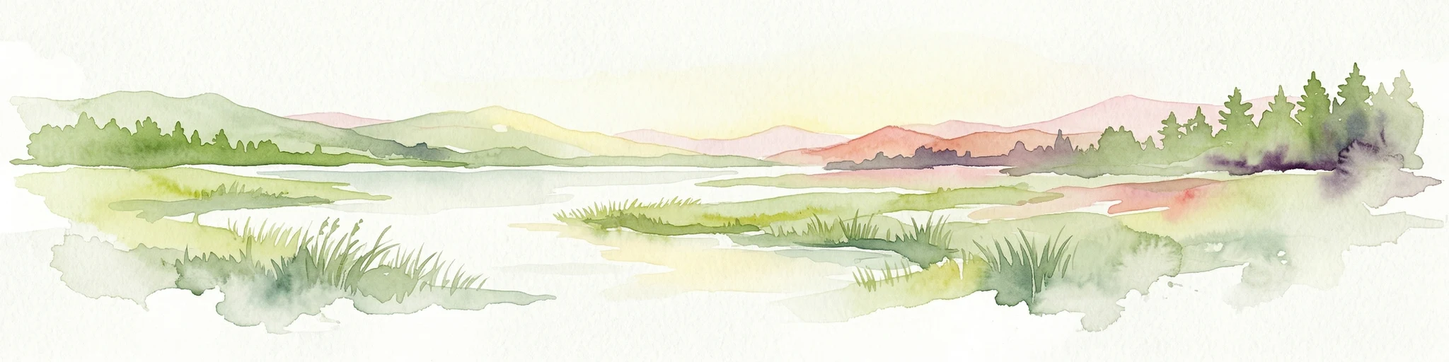
Watercolor illustration of a mountainous landscape with a lake and grassy fields.
National parkAnjouan
About 134 km away#4 closest

East

Mount Ntringui National Park: Protected Volcanic Landscape and Highland Geography on Anjouan

Explore its dramatic peaks, crater lake, and remnant montane forests.

Mount Ntringui National Park is a significant protected area situated in the rugged volcanic highlands of Anjouan. This national park preserves the island's highest peaks, Mount Ntringui and Mount Trindrini, alongside the unique Dzialandzé crater lake and the crucial Moya Forest. It stands as a vital refuge for endemic species and represents the last substantial tract of montane forest on Anjouan, offering deep insights into the region's unique ecology and mapped natural terrain.

Area
79.14 km²
Established
2010
IUCN
II
Relief
Mountain
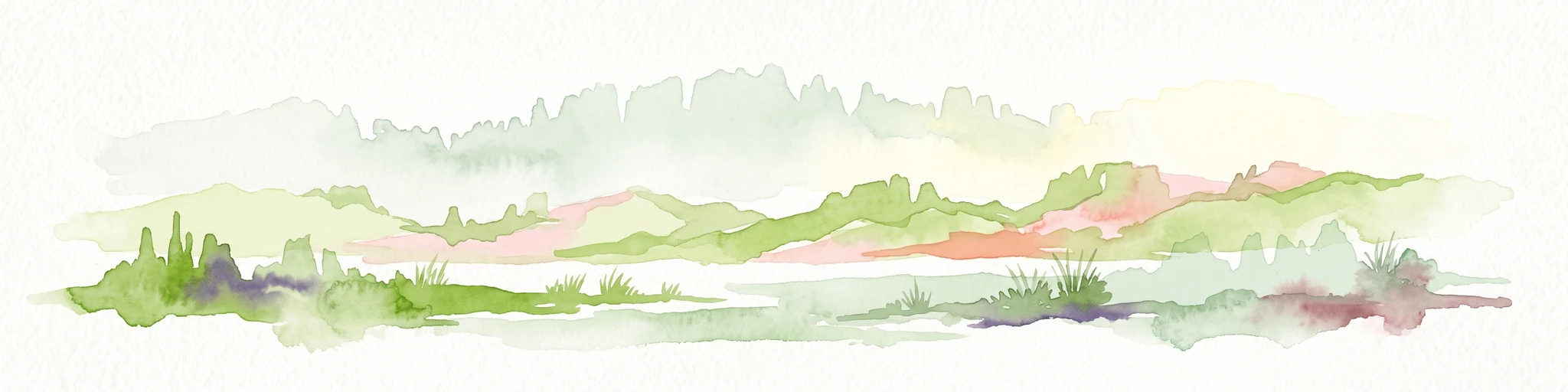
A soft watercolor painting of a calm bay with a small island in the center, surrounded by gentle hills and green coastal land.
Wildlife reserveMayotte
About 234 km away#5 closest

Southeast

Baie de Bouéni Wildlife Reserve: Mapping Coastal Biodiversity and Volcanic Terrain

A protected bay and mangrove system on the coast of Mayotte.

Baie de Bouéni stands as a significant wildlife reserve in Mayotte, framed by the volcanic massifs of Mont Bénara and Mont Choungui. This coastal sanctuary protects the largest mangrove belt in the Comoros and offers a clear example of the meeting of intertidal mudflats and marine ecosystems within the western Indian Ocean.

Area
5.19 km²
Established
2007
IUCN
IV
Relief
Lowland
Nature reserveMayotte
About 242 km away#6 closest

Southeast

Vasière des Badamiers: Mapping the Protected Coastal Wetlands of Petite-Terre

Nature reserve geography and intertidal ecosystem character

Vasière des Badamiers is an essential protected coastal wetland in Mayotte, characterized by its tidal mudflats and mangrove fringes. This site acts as a key migratory refuge for waterbirds while functioning as a natural filter for the surrounding lagoon. Use this data to analyze the unique brackish basin and the ecological boundaries that define this Ramsar-recognized environment.

Area
1.25 km²
Established
2002
IUCN
IV
Protected areaMayotte
About 243 km away#7 closest

Southeast

Pointes et plages de Saziley et Charifou Protected Area Geography and Map Context

Coastal ridgelines, mangrove habitats, and Mayotte island terrain

Delve into the physical geography and protected area configuration of Pointes et plages de Saziley et Charifou. This site presents a striking contrast between steep, dry inland ridges and low-lying coastal mangrove systems, offering an essential look at the complex environmental layering found across the southeastern coast of Mayotte.

Area
6.65 km²
Established
1997
IUCN
IV
Relief
Upland
National parkCabo Delgado Province
About 311 km away#8 closest

West

Quirimbas National Park: Coastal Protected Landscape and Island Archipelago Atlas

Discover marine conservation and inselberg terrain in Cabo Delgado.

Quirimbas National Park, located in Cabo Delgado Province, Mozambique, is a key protected area defined by its exceptional combination of marine and terrestrial environments. The park's geography includes eleven islands, extensive mangrove forests, and vibrant coral reefs, alongside a mainland characterized by striking inselberg formations. This national park is a vital site for understanding coastal landscape diversity, marine ecosystems, and protected-area geography within East Africa.

Area
1,430 km²
Established
1971
IUCN
II
Relief
Mixed relief
Watercolor painting of a coastal landscape with green trees, rolling hills, and light water reflections.
Protected areaSofia
About 450 km away#9 closest

Southeast

Anjajavy Forest Protected Area: Landscape Geography and Regional Mapping

Tsingy karst, dry forest, and mangrove ecosystems in Sofia, Madagascar

The Anjajavy Forest protects a unique peninsula defined by the meeting of dry deciduous forest and jagged marine tsingy limestone. Spanning fifty square kilometres, this area is bordered by the Majajamba and Narinda Bays, showcasing an accessible convergence of complex karst topography and coastal mangrove corridors essential for endemic species.

Area
50 km²
Relief
Mixed relief
Climate
Tropical
Scope
Mixed
National parkBoeny
About 518 km away#10 closest

Southeast

Baie de Baly National Park: Mapped Boundaries and Protected Landscape Context

Explore the geography and natural terrain of this national park.

Baie de Baly National Park presents a critical focal point for understanding protected areas within the Boeny region. As a national park, it showcases specific mapped boundaries that contribute to the broader geographic understanding of Madagascar's conservation landscapes. This detailed view allows for an atlas-driven exploration of the park's natural terrain and its significance as a distinct protected landmass within its regional context.

Area
571.42 km²
Established
1997
IUCN
II
Climate
Tropical
Watercolor illustration showing a lake surrounded by grassy areas with trees and mountains in the background
Nature reserveMozambique
About 523 km away#11 closest

West

Niassa Reserve Nature Reserve: Mozambique's Expansive Protected Wilderness

Mapping the vast miombo woodlands and endemic species.

Niassa Reserve, a sprawling nature reserve in northern Mozambique, represents one of the largest miombo woodland ecosystems on Earth. Its diverse terrain encompasses dense forests, open savannahs, and riparian zones, making it a vital habitat for unique wildlife and a significant landmark in regional geography. The reserve's protected status and immense scale offer unparalleled opportunities for atlas-style exploration of its landscape and conservation importance.

Area
42,000 km²
Established
1954
IUCN
IV
Relief
Mixed relief
National parkMadagascar
About 531 km away#12 closest

Southeast

Sahamalaza National Park: A Key National Park and Ramsar Wetland in Madagascar

Explore Madagascar's unique protected landscape and biodiversity hotspot

Sahamalaza National Park is a significant protected area in Madagascar, designated as both a National Park and an internationally important Ramsar Wetland. It protects vital transitional forest ecosystems and extensive coastal wetland habitats, offering a crucial refuge for critically endangered lemur species and migratory birds. The park's unique geography and ecological role provide rich context for understanding Madagascar's celebrated endemic biodiversity and conservation efforts through mapped landscape exploration.

Area
260.35 km²
Established
2007
IUCN
II
Climate
Tropical
National parkMahajanga Province
About 561 km away#13 closest

Southeast

Tsingy de Namoroka National Park: Geography, Karst Formations, and Regional Context

Protected karst landscapes in Mahajanga Province.

Tsingy de Namoroka National Park stands as a prime example of Madagascar's unique geological heritage, featuring sprawling fields of razor-sharp limestone pinnacles and intricate cave networks. This protected area offers deep insight into the intersection of subterranean hydrology and dry forest ecology within the broader Mahajanga Province.

Area
220.71 km²
Established
1927
IUCN
II
Relief
Mixed relief
National parkMadagascar
About 571 km away#14 closest

East

Nosy Tanikely National Park: Madagascar National Park & Protected Landscape Identity

Mapped geography and regional park context in Madagascar.

Nosy Tanikely National Park is a designated national park in Madagascar, offering a focused entry point for understanding protected land geography. As a key entity within the island's conservation landscape, it provides valuable context for exploring mapped park boundaries and regional geographic features. Discover how this protected area contributes to the broader atlas of Madagascar's natural heritage.

Area
3.41 km²
Established
2011
Relief
Lowland
Climate
Tropical
National parkMadagascar
About 576 km away#15 closest

East

Lokobe National Park: Madagascar's Protected Natural Landscape and Geographic Context

Explore mapped boundaries and regional park geography.

Lokobe National Park is a protected national park situated within Madagascar, an island country recognized globally for its exceptional biodiversity and unique ecosystems. This page offers a detailed, atlas-oriented perspective on Lokobe National Park, focusing on its designation as a protected area, its specific geographic location, and the natural landscape features that define its territory. Users can explore the park's mapped boundaries and understand its contribution to Madagascar's remarkable natural heritage.

Area
15.23 km²
Established
1927
IUCN
II
Climate
Tropical
Wildlife reserveDiana
About 602 km away#16 closest

Southeast

Manongarivo Special Reserve: Protected Wildlife and River Landscapes in Northern Madagascar

Examining the humid forest terrain and geographic boundaries of the Diana region

Located in the Diana region, Manongarivo Special Reserve serves as a critical protected area within the northern humid rainforest system of Madagascar. The territory is defined by steep forested hills, narrow river valleys, and diverse ecological niches. By analyzing its specific topographic markers and river systems, this entry details the natural landscape and protected status of this significant biodiversity reserve.

Area
327.35 km²
Established
1956
IUCN
IV
Climate
Tropical
National parkBoeny Region
About 607 km away#17 closest

Southeast

Ankarafantsika National Park: Protected Area Atlas and Regional Geography Discovery

Explore mapped boundaries and natural landscape context.

Ankarafantsika National Park serves as a key protected area for understanding the geography of Madagascar's Boeny Region. This canonical page offers a detailed atlas-style view, highlighting the park's mapped boundaries and its role as a distinct natural landscape. Engage with structured geographic data to comprehend the park's protected status and its contribution to the regional terrain, facilitating a deeper appreciation of protected lands.

Area
1,365.13 km²
Established
2002
IUCN
II
Relief
Lowland
National parkDiana Region
About 627 km away#18 closest

East

Nosy Hara National Park: Mapped Protected Landscape and Regional Geographic Context

Atlas exploration of national park boundaries and natural terrain.

Nosy Hara National Park is a designated national park situated within the Diana Region of Madagascar. This entry provides detailed geographic information, focusing on the park's mapped boundaries and its role as a protected landscape. Explore the unique regional geography and understand how this protected area contributes to the broader atlas of natural landscapes.

Area
2.7 km²
Relief
Lowland
Climate
Tropical
Access
Access unknown
National parkTanzania
About 636 km away#19 closest

Northwest

Nyerere National Park: Tanzania's Immense Protected Area and Rufiji River Landscape

Explore the savanna and river delta geography of this national park.

Nyerere National Park represents one of Tanzania's most significant protected areas, sprawling across southeastern regions and offering a glimpse into largely untouched wilderness. The park's identity is deeply intertwined with the Rufiji River and its expansive delta, home to one of the world's largest mangrove forest systems. As a national park, its vastness and diverse terrain provide critical habitat, making it a key point for understanding protected land distribution and regional landscape context within Tanzania.

Area
30,893 km²
Established
2019
IUCN
II
Relief
Mixed relief
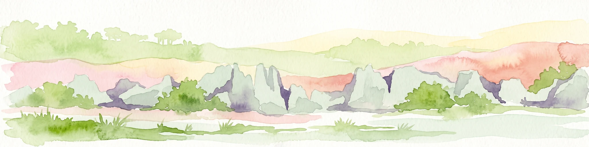
A watercolor landscape illustration depicting green bushes and grey, jagged rock formations under a soft pink and yellow sky.
Nature reserveDiana Region
About 637 km away#20 closest

East

Ankarana Special Reserve: A Detailed Geographic Atlas of the Diana Region's Limestone Plateau

Mapping the karst landscape, subterranean rivers, and cliff formations.

Examine the rugged topography of Ankarana Special Reserve, featuring a 25-kilometre-long cliff known as the Wall of Ankarana and 100 kilometres of mapped cave passages. This protected area offers deep insight into Madagascar's geological history and rare endemic lemur habitats within its dense, jagged tsingy ridges.

Area
182 km²
Established
1956
IUCN
IV
Relief
Upland
Distance methodology

Geographic measurements, not driving distances

How nearby park distances are calculated

Distances use park boundaries whenever the available geometry allows it. When one or both boundaries are missing, the mapped park locations provide a clearly labelled estimate. Every value represents straight-line geographic separation and does not use roads or routing.

Boundary distance

Calculated between the nearest points of both park boundaries.

Location-to-boundary estimate

Estimated from one mapped park location to the nearest boundary of the other park.

Mapped-location estimate

Estimated between the mapped locations of both parks.

MoriAtlas Explorer

Continue Exploring Coelacanth National Park's Marine Geography and Protected Waters

Delve deeper into the mapped contours and ecological significance of Coelacanth National Park. Understanding its role as a marine sanctuary off Grande Comore provides critical context for its unique protected landscape and its place within the broader Indian Ocean geography. Discover the scientific and conservation value represented by this extraordinary park.