Mori Atlas logo
Nearby park discovery

Geographic mapping of protected landscapes surrounding this western Thailand wilderness area

National Parks and Protected Areas Near Khuean Srinagarindra National Park in Kanchanaburi

Identify natural terrains, forest reserves, and protected areas situated within the geographic proximity of Khuean Srinagarindra National Park. This regional mapping resource highlights the distribution of nearby conservation landscapes to provide a clearer understanding of the Western Forest Complex geography and the surrounding mountainous terrain in Kanchanaburi Province.

Related tags

National ParkThailandWestern Forest ComplexReservoirKanchanaburi

Thailand's reservoir-centered wilderness in Kanchanaburi province

Khuean Srinagarindra National Park

Khuean Srinagarindra National Park is a vast protected area spanning approximately 1,532 square kilometers in Kanchanaburi province, western Thailand. The park was established on December 23, 1981 as Thailand's 39th national park and forms a critical component of the Western Forest Complex, a network of protected areas spanning the Thai-Burmese border region. The park is centered around the Srinagarind Reservoir, a large artificial lake created by the damming of the Khwae Yai River in 1980. This reservoir serves as the ecological and recreational heart of the park, with numerous tributaries flowing into it from the surrounding mountainous terrain. The landscape features a mix of forest types across elevational gradients reaching approximately 1,100 meters, with the western portion of Thailand's central mountain range influencing local weather patterns and creating a distinctive rain shadow effect that differentiates this area from surrounding regions.

Location
Thailand
Park type
National park
Established
1981
Area
1,532 km²
Highest point
1,100 m
Khuean Srinagarindra National Park Atlas
Regional park map

See the ranked park cluster in its geographic setting

Nearby parks around Khuean Srinagarindra National Park

This regional map shows the same 20 nearby parks ranked below around Khuean Srinagarindra National Park. Select a ranked marker to highlight that park’s boundary where boundary data is available.
Reference park: Khuean Srinagarindra National ParkRanked nearby park20 nearby parks shown
20 nearby parks

Geographic proximity and regional comparison signals across adjacent protected landscapes

Nearby Parks and Protected Areas Surrounding Khuean Srinagarindra National Park

Examine a distance-ranked index of protected areas located geographically near Khuean Srinagarindra National Park to analyze regional park geography. Compare surrounding terrain boundaries and environmental traits to understand broader conservation patterns across the territory.
National parkKanchanaburi Province
About 17 km away#1 closest

East

Chaloem Rattanakosin National Park: National Park Status and Geographic Exploration

Mapped protected area in Kanchanaburi Province, Thailand.

Chaloem Rattanakosin National Park represents a crucial protected landscape within Kanchanaburi Province, identified as a national park. This entry offers a foundation for understanding its geographic boundaries and regional context, providing essential detail for atlas-based exploration of Thailand's natural protected areas and their mapped distribution across the landscape.

Area
59 km²
Established
1980
IUCN
II
Visitors
31.5K annual
National parkKanchanaburi Province
About 21 km away#2 closest

Northwest

Lam Khlong Ngu National Park: A Protected National Park in Kanchanaburi Province

Explore mapped boundaries and regional geography.

Lam Khlong Ngu National Park offers a distinct protected landscape within Kanchanaburi Province. As a national park, it contributes to the understanding of Thailand's diverse geography and conservation areas. Users can explore its mapped features and discover its place within the broader regional context of protected lands.

Area
673 km²
Established
2009
Relief
Mountain
Climate
Tropical
Stylized digital illustration of a multi-tiered waterfall flowing into a calm, light-green pool surrounded by dense forest and rolling hills.
National parkKanchanaburi Province
About 28 km away#3 closest

South

Erawan National Park

Explore the mapped terrain and protected natural features.

Erawan National Park, in Kanchanaburi Province, Thailand. Landscapes: mountains, hills, and valleys.

Area
550 km²
Established
1975
IUCN
II
Visitors
519.2K annual
A digital illustration showing a mountain range landscape at sunrise with a low layer of mist filling the valleys and green forested slopes in the foreground.
National parkSuphan Buri Province
About 49 km away#4 closest

East

Phu Toei National Park: National Park Atlas and Mapped Landscape Exploration in Suphan Buri Province

Discover the protected area's geographic context and natural terrain.

Phu Toei National Park is a designated national park offering a unique perspective on protected landscapes within Suphan Buri Province, Thailand. This park serves as a crucial entity for atlas-based geographic discovery, highlighting its specific mapped boundaries and the surrounding natural terrain. Users can explore the park's inherent geographic character and its role within Thailand's network of conservation areas.

Area
317 km²
Established
1998
IUCN
II
Visitors
8.8K annual
Watercolor illustration of a serene landscape featuring a body of water, distant hills, and green vegetation
National parkKanchanaburi Province
About 50 km away#5 closest

Southwest

Sai Yok National Park: Protected Landscape Boundaries and Regional Geographic Context

Explore the mapped terrain and park geography within Kanchanaburi.

Sai Yok National Park serves as a vital protected area within Kanchanaburi Province, offering a clear focus for geographic exploration and atlas-based understanding. This entry details the park's specific mapped boundaries and its role within the broader regional landscape context, providing essential data for comprehending its natural geography and conservation significance.

Area
500 km²
Established
1980
IUCN
II
Visitors
67.7K annual
A digital illustration of a grassy cliffside overlooking a valley with distant mountain ranges and layers of mist under a soft sunrise sky.
National parkKanchanaburi Province
About 56 km away#6 closest

Northwest

Khao Laem National Park: Kanchanaburi Province Protected Landscape Atlas

Discover mapped terrain and regional geographic context.

Investigate Khao Laem National Park as a distinct protected landscape situated in Thailand's Kanchanaburi Province. This entry provides detailed geographic insights, focusing on mapped boundaries and the park's position within the region's natural atlas. It's designed for users seeking specific protected-area data and landscape context rather than general visitor information.

Area
1,497 km²
Established
1991
IUCN
II
Visitors
48.6K annual
A stylized digital illustration of a sunlit mountain peak at sunrise, with a dirt trail leading through tall grass in the foreground towards the ridgeline.
National parkKanchanaburi Province
About 68 km away#7 closest

West

Thong Pha Phum National Park: A Protected Landscape in Kanchanaburi Province, Thailand

National park mapped geography and regional context.

Thong Pha Phum National Park is a significant national park in Thailand, situated within Kanchanaburi Province. This page details its protected area status and provides essential geographic context, enabling users to explore its mapped boundaries and understand its role within the regional landscape. Focus on discovery of its natural terrain and atlas-relevant characteristics.

Area
1,236 km²
Established
2009
IUCN
II
Visitors
123.3K annual
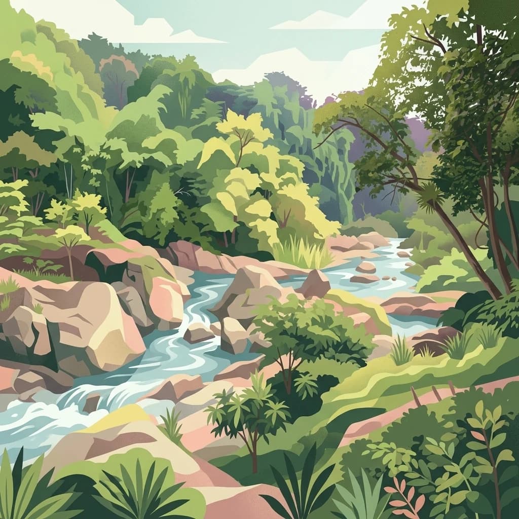
A stylized, colorful illustration of a river flowing over smooth rocks through a dense, green tropical forest under a light sky.
National parkNakhon Sawan Province
About 145 km away#8 closest

North

Mae Wong National Park: National Park Protected Area and Geographic Setting

Mapped boundaries and regional landscape of Mae Wong.

Investigate Mae Wong National Park, a designated national park offering insights into its protected landscape identity. This entry provides structured geographic data, focusing on the park's mapped boundaries and its position within the broader regional context of Nakhon Sawan Province. Examine its role as a significant protected area for atlas-based discovery and geographic understanding.

Area
894 km²
Established
1987
IUCN
II
Visitors
51.8K annual
A stylized illustration of a tropical waterfall cascading over rocky cliffs into a stream bed surrounded by dense, green forest and large boulders.
National parkKamphaeng Phet Province
About 157 km away#9 closest

North

Khlong Lan National Park: National Park Protected Landscape and Geography

Explore mapped boundaries and regional context in Kamphaeng Phet Province.

Delve into the specifics of Khlong Lan National Park, a protected area designated as a national park in Thailand's Kamphaeng Phet Province. This page offers a structured view of its geographic scope, emphasizing mapped park boundaries and the surrounding natural terrain. Understand its role as a significant protected landscape within the regional geography.

Area
300 km²
Established
1985
IUCN
II
Visitors
206.4K annual
National parkRatchaburi Province
About 160 km away#10 closest

South

Chaloem Phrakiat Thai Prachan National Park: Protected Landscape Identity and Geographic Atlas Context

Mapped park boundaries and regional natural terrain discovery.

Chaloem Phrakiat Thai Prachan National Park serves as a key national park entity for structured geographic discovery. This page focuses on its protected landscape, mapped boundaries, and integration within the natural geography of Ratchaburi Province. Explore the park's specific atlas contribution and its place within regional conservation land patterns, providing a factual foundation for landscape context.

Area
328.05 km²
Established
2012
IUCN
II
Climate
Tropical
A stylized illustration of a waterfall cascading over dark rocks into a pool, surrounded by a dense tropical forest with foreground vines and distant mountains under a soft sky.
National parkPhetchaburi Province
About 169 km away#11 closest

South

Kaeng Krachan National Park

Mapped boundaries and regional geography of this national park.

Kaeng Krachan National Park, in Phetchaburi Province, Thailand. Landscapes: forests, mountains, and lakes.

Area
2,915 km²
Established
1981
IUCN
II
Visitors
103.5K annual
National parkKamphaeng Phet Province
About 185 km away#12 closest

North

Khlong Wang Chao National Park: Thailand's Distinct Mountainous Protected Landscape in Kamphaeng Phet

Explore mapped boundaries and terrain of this significant national park.

Khlong Wang Chao National Park is a key protected area in western Thailand, recognized for its impressive mountainous geography within the Thanon Thong Chai Range. Spanning 747 square kilometers, the park features complex ridges, valleys, and Yen Mountain, its highest peak. Its designation as a national park highlights the importance of its dense teak forests and unique central valley formations, offering a rich subject for geographic and landscape exploration.

Area
747 km²
Established
1990
IUCN
II
Visitors
33.4K annual
National parkTak Province
About 198 km away#13 closest

North

Namtok Pha Charoen National Park: Protected Landscape and Regional Geography of Tak Province

Explore its mapped boundaries and natural terrain.

Namtok Pha Charoen National Park serves as a vital protected area within Thailand's Tak Province, a region characterized by extensive forests and mountain ranges. This page offers an in-depth view of the park's geography, detailing its specific location and its importance as a mapped natural landscape. Understanding the park's boundaries and its place within the broader context of Western Thailand's geography is central to exploring its unique identity.

Area
770 km²
IUCN
II
Visitors
152.5K annual
Relief
Mountain
An artistic flat-style vector illustration showing a tiered waterfall flowing over dark rocks into a pool, surrounded by tall trees and a green forest canopy.
National parkSaraburi Province
About 210 km away#14 closest

East

Namtok Sam Lan National Park: A Mapped Protected Landscape in Saraburi Province

Explore its terrain, waterfalls, and regional geography.

Gain detailed geographic insight into Namtok Sam Lan National Park, a vital protected area situated in Thailand's Saraburi Province. This destination provides a rich atlas view of its landscape, featuring prominent waterfalls and mixed forest ecosystems. Understand the park's specific location, mapped terrain, and its contribution to the regional geography, offering a concrete point for exploration.

Area
45 km²
Established
1981
IUCN
II
Visitors
45.8K annual
An illustration of a stream flowing over rocks in a rocky canyon with steep cliff walls and lush vegetation.
National parkTak Province
About 226 km away#15 closest

North

Lan Sang National Park: Mapped Protected Landscape and Waterfall Atlas

Discover the geography and natural features of this national park.

Lan Sang National Park presents a rich protected landscape within Tak Province, Thailand, renowned for its striking tiered waterfalls cascading through the mountainous Dawna Range. This national park offers a detailed look at its mapped terrain, including multiple named waterfalls like Namtok Pha Lat and Namtok Tha Le, alongside scenic viewpoints. Its diverse forest environments contribute to a unique natural setting, making it a significant area for understanding regional geography and protected natural land patterns.

Area
104 km²
Established
1979
IUCN
II
Visitors
38.9K annual
An illustrative digital artwork showing a scenic valley landscape framed by dark rocky cliffs in the foreground. A tiered waterfall flows into a pool surrounded by dense green forest and gentle grassy hills under a soft pastel sky.
National parkNakhon Ratchasima Province
About 229 km away#16 closest

East

Khao Yai National Park

Nakhon Ratchasima Province's premier national park.

Khao Yai National Park, in Nakhon Ratchasima Province, Thailand. Landscapes: mountains, forests, and grasslands.

Area
2,166 km²
Established
1962
IUCN
II
Visitors
1.6M annual
A digital illustration showing a mountain peak covered in green trees and rocky outcroppings, viewed from a grassy vantage point under a soft pastel sky.
National parkSukhothai Province
About 231 km away#17 closest

North

Ramkhamhaeng National Park: National Park Atlas and Protected Landscape Geography

Mapped boundaries and regional context within Sukhothai Province.

Ramkhamhaeng National Park serves as a vital national park, offering a unique perspective on Thailand's natural protected areas. Explore its mapped boundaries and understand its integration into the regional geography of Sukhothai Province. This page provides detailed atlas-style insights into the park's landscape, facilitating a deeper appreciation of its protected status and geographic significance.

Area
341 km²
Established
1980
IUCN
II
Visitors
23.4K annual
A stylized illustration of a forest waterfall cascading over rocks into a pool, with large tree trunks and roots in the foreground.
National parkSaraburi Province
About 232 km away#18 closest

East

Namtok Chet Sao Noi National Park: Protected Landscape and Seven-Tiered Waterfall Geography

Mapped terrain within Saraburi Province, Thailand.

Namtok Chet Sao Noi National Park offers a rich exploration of Thailand's natural geography, centered around its famous seven-tiered Chet Sao Noi waterfall. This national park, situated in Saraburi Province, features tropical rainforest ecosystems and distinctive landscapes within the Dong Phaya Yen mountains. Understand the park's mapped boundaries and its role as a vital protected area, providing insight into central Thailand's natural terrain and conservation efforts.

Area
42 km²
Established
2016
IUCN
II
Visitors
389.1K annual
A digital illustration of a dense, tropical forest with a large, buttressed tree in the foreground and a multi-tiered waterfall cascading down rocky cliffs in the background.
National parkTak Province
About 233 km away#19 closest

North

Taksin Maharat National Park: National Park with Mapped Boundaries in Tak Province

Discover its protected landscape and regional geography.

Taksin Maharat National Park is a designated national park offering a focused point for geographic discovery. Located within Tak Province, a region characterized by significant forest cover and mountainous geography in western Thailand, this park contributes to the understanding of protected land distribution. Exploring its mapped terrain and landscape identity provides insight into the natural features that define this specific Thai protected area.

Area
149 km²
Established
1981
IUCN
II
Visitors
30.2K annual
National parkTak Province
About 258 km away#20 closest

North

Khun Phawo National Park: Protected National Park in Tak Province, Thailand

Mapped geography and protected area context for Khun Phawo.

Khun Phawo National Park stands as a designated national park within Tak Province, western Thailand. This page facilitates a deeper atlas-driven understanding of the park's protected landscape, its mapped terrain, and its regional geographic significance. It is an essential entry point for exploring the park's boundaries and its place within the broader conservation atlas.

Area
397 km²
Established
2009
IUCN
II
Visitors
10.3K annual
Distance methodology

Geographic measurements, not driving distances

How nearby park distances are calculated

Distances use park boundaries whenever the available geometry allows it. When one or both boundaries are missing, the mapped park locations provide a clearly labelled estimate. Every value represents straight-line geographic separation and does not use roads or routing.

Boundary distance

Calculated between the nearest points of both park boundaries.

Location-to-boundary estimate

Estimated from one mapped park location to the nearest boundary of the other park.

Mapped-location estimate

Estimated between the mapped locations of both parks.

MoriAtlas Explorer

Continue Exploring Khuean Srinagarindra National Park's Geographic and Landscape Details

Delve deeper into the structured geographic information and protected landscape features of Khuean Srinagarindra National Park. Understanding its mapped terrain and regional context contributes to a broader appreciation of protected areas in Kanchanaburi Province and beyond, enriching your atlas exploration with precise details.