Mori Atlas logo
Nearby park discovery

Mapping the geographic distribution and surrounding landscapes of nearby protected regions

Regional Protected Areas and National Park Geography Near Mount Nemrut National Park

Examine the geographic distribution and spatial relationships of protected areas in the region surrounding Mount Nemrut National Park. This overview provides a clear look at nearby park boundaries and regional landscape patterns to support deep geographic exploration of Turkish protected lands.

Illustration showing large stone statues on a plateau with a mountain in the background, sun and clouds in the sky

Archaeological and natural heritage site in southeastern Turkey

Mount Nemrut National Park

Mount Nemrut National Park is a designated national park in Turkey, offering a distinct focus for protected landscape and geographic discovery. This page serves as an entry point to understanding its mapped boundaries, regional setting within southeastern Anatolia, and its significance as a protected natural area. Delve into the atlas context and explore the unique geographic features that characterize this important Turkish national park.

Location
Turkey
Park type
National park
Mount Nemrut National Park Protected Area
Regional park map

See the ranked park cluster in its geographic setting

Nearby parks around Mount Nemrut National Park

This regional map shows the same 20 nearby parks ranked below around Mount Nemrut National Park. Select a ranked marker to highlight that park’s boundary where boundary data is available.
Reference park: Mount Nemrut National ParkRanked nearby park20 nearby parks shown
20 nearby parks

Distance ranked comparison index for surrounding regional geography

Parks and Protected Areas Geographically Near Mount Nemrut National Park

Browse parks and protected areas geographically near Mount Nemrut National Park to evaluate surrounding regional park geography. Distance separation and recorded environmental signals provide structured comparison data across adjacent protected landscapes.
National parkŞanlıurfa
About 137 km away#1 closest

South

Tek Tek Mountains National Park: Protected Area with Ancient Ruins in Şanlıurfa, Turkey

Mapped geography and historical landscapes within Turkey's southeastern steppe.

Tek Tek Mountains National Park represents a vital protected area in Şanlıurfa Province, southeastern Turkey. This national park safeguards a unique landscape defined by the Tek Tek mountain range, featuring rugged terrain, rocky outcrops, and semi-arid steppe ecosystems. Beyond its natural beauty, the park is renowned for its significant archaeological heritage, including ancient settlements and religious sites that offer a glimpse into the region's historical depth. MoriAtlas provides a structured atlas view of this protected landscape, detailing its geographic features and its place within the regional context.

Area
193.35 km²
Established
2007
IUCN
II
Relief
Mixed relief
National parkTunceli Province
About 143 km away#2 closest

North

Munzur Valley National Park: Tunceli Province's Vast Protected Alpine Landscape

Discover Turkey's largest national park and its unique mountain geography.

Munzur Valley National Park stands as a monumental protected area within Tunceli Province, Turkey. Its expansive territory encompasses approximately 420 square kilometers of dramatic mountain ranges, deep river valleys, and high-altitude glacial lakes. The park's complex geological makeup, shaped by tectonic forces and glacial activity, contributes to its unique terrain. This atlas entry highlights the park's role as a major biodiversity hotspot and a significant feature within eastern Anatolia's regional geography, offering rich context for landscape exploration.

Area
420 km²
Established
1971
IUCN
II
Relief
Mountain
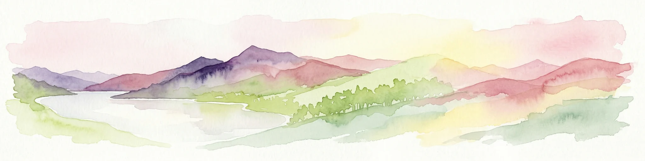
Watercolor illustration showing mountains, a reservoir, and green landscape
National parkOsmaniye Province
About 230 km away#3 closest

West

Karatepe-Aslantaş National Park: A National Park Bridging Ancient History and Natural Geography

Discover its protected landscape and mapped terrain in Osmaniye Province.

Karatepe-Aslantaş National Park stands as Turkey's second national park and its inaugural open-air museum, situated in Osmaniye Province. This protected area is renowned for its significant Neo-Hittite archaeological remnants, including iconic lion statues and the vital Karatepe Bilingual inscription. The park's landscape is characterized by slightly rugged terrain, woodlands, and maquis scrubland, all set against the backdrop of the Aslantaş Dam reservoir, providing a unique geographic context for exploring ancient heritage and natural ecosystems.

Area
41.45 km²
Established
1958
IUCN
II
Relief
Lowland
National parkBayburt Province
About 275 km away#4 closest

Northeast

Mount Kop Defense National Historic Park: A Protected WWI Battlefield and Biodiversity Hotspot

Mapped protected area in Bayburt Province, Turkey.

Delve into Mount Kop Defense National Historic Park, a protected national park situated in the mountainous terrain of Bayburt Province, Turkey. This site is distinguished by its preserved World War I battlefield features and remarkable biodiversity, particularly its status as a critical habitat for numerous high-altitude butterfly species. Explore the mapped geography and unique conservation value of this significant protected landscape, understanding its distinct place within regional natural and historical atlases.

Area
6.335 km²
Established
2016
IUCN
II
Relief
Mountain
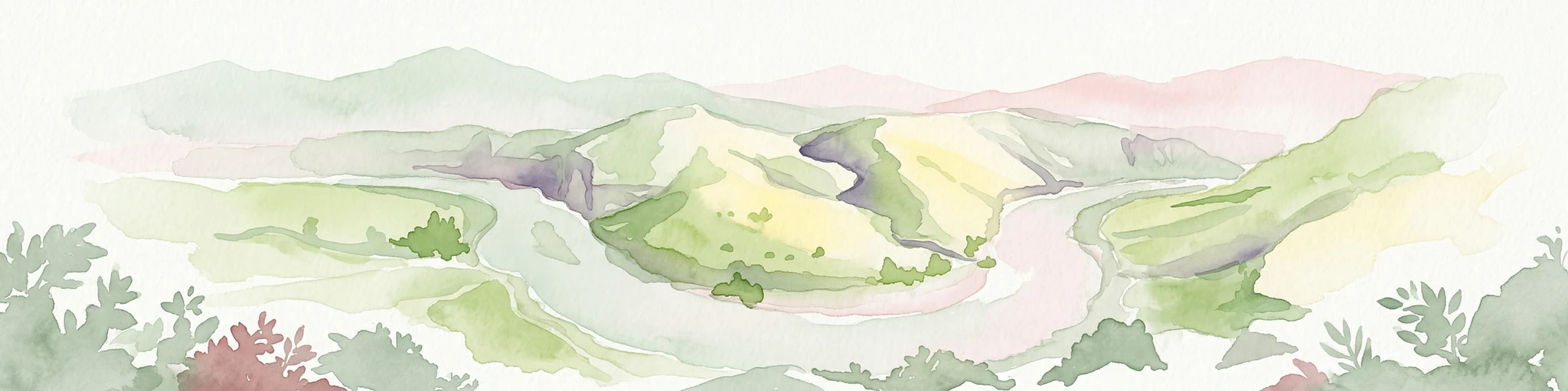
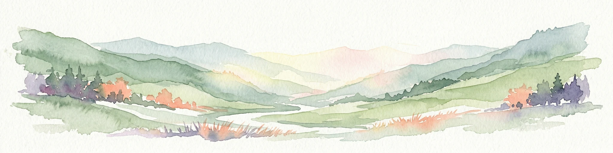
Watercolor illustration showing a winding river through a valley with green hills and distant mountains
National parkSiirt Province
About 277 km away#5 closest

East

Botan Valley National Park: Turkey's Largest National Park with Extensive Valley Landscape

Mapped Protected Area in Siirt Province, Southeastern Anatolia

Botan Valley National Park stands as Turkey's most significant protected area, renowned for its vast size and rich biodiversity. Centered around the dramatic Botan River valley in Siirt Province, the park offers a unique glimpse into southeastern Anatolia's rugged geography and diverse ecosystems. This atlas-focused entry allows for exploration of the park's mapped boundaries, its distinctive river valley landscape, and its role in regional nature conservation efforts.

Area
486 km²
Established
2019
IUCN
II
Relief
Mixed relief
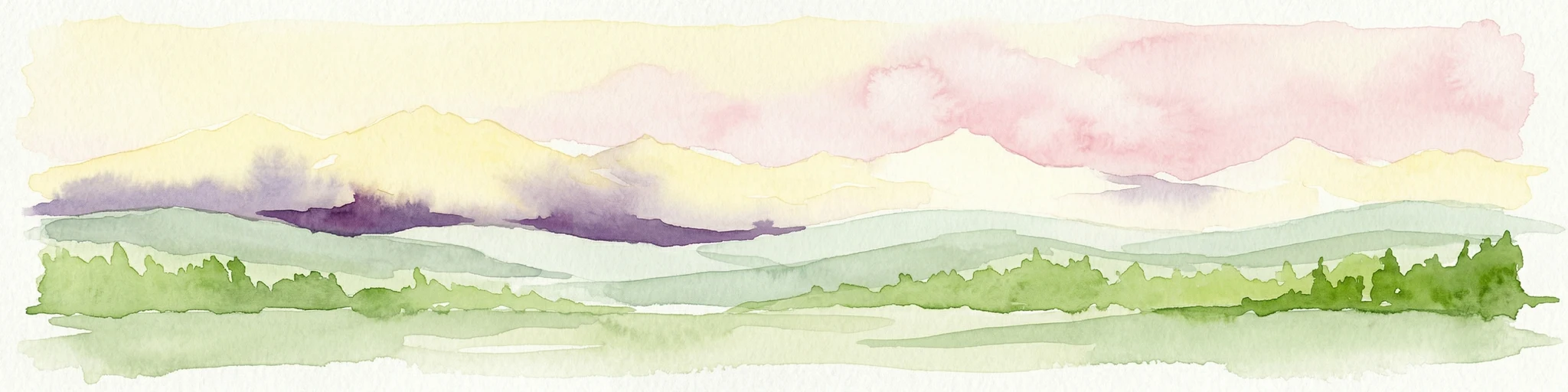
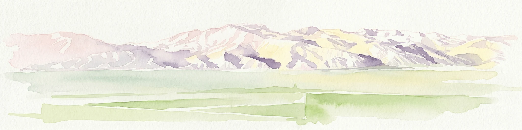
Watercolor painting showing a mountain landscape with layers of hills, green fields, and a sky with yellow, purple, and pink hues
National parkTurkey
About 290 km away#6 closest

West

Aladağlar National Park: Turkey's Dramatic Alpine Protected Landscape

Rugged terrain and crimson peaks in the Anti-Taurus Mountains.

Delve into Aladağlar National Park, a significant protected area defined by its striking alpine environment within Turkey's Anti-Taurus range. This park is renowned for its rugged, high-altitude wilderness, characterized by dramatic granite peaks that display a unique crimson coloration, especially at sunset. Its landscape features steep valleys, alpine lakes formed from snowmelt, and challenging mountaineering opportunities. MoriAtlas offers detailed map context to appreciate the geographic distinctiveness and ecological importance of this elevated protected terrain.

Area
550.65 km²
Established
1995
IUCN
II
Relief
Mountain
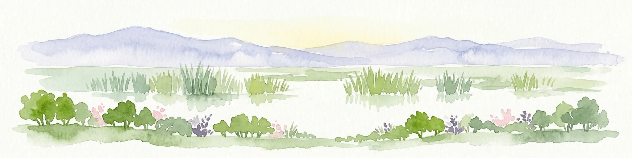
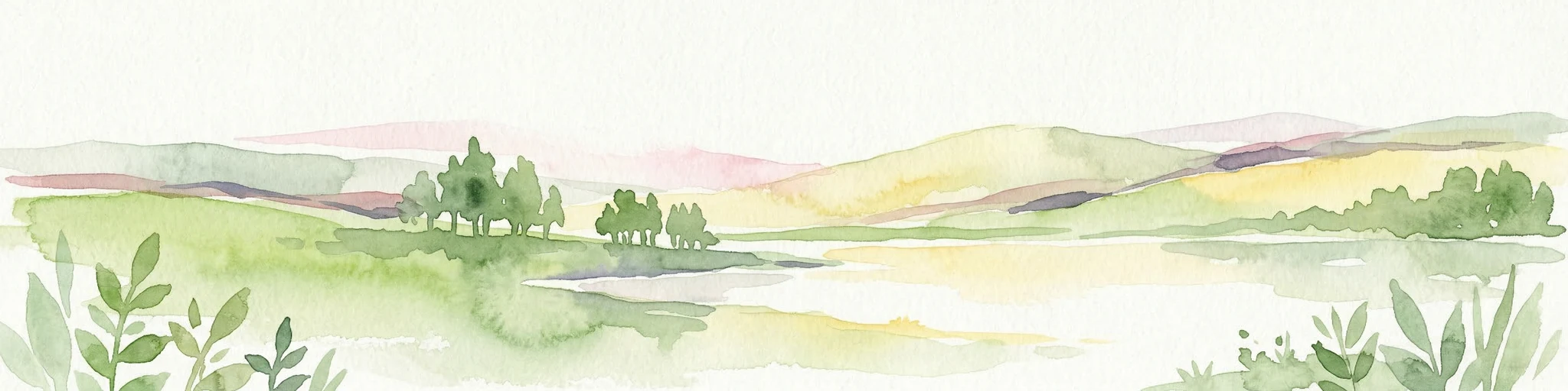
Watercolor illustration of a wetland landscape with distant mountains, grassy vegetation, and calm water.
National parkKayseri Province
About 311 km away#7 closest

West

Sultan Reedy National Park: A Vital Protected Wetland Ecosystem in Kayseri Province, Turkey

Mapped landscape focused on ornithological significance and lake ecosystems.

Sultan Reedy National Park stands as a cornerstone of wetland conservation in Turkey, located within the geographically distinct Kayseri Province. This national park is celebrated for its expansive freshwater lakes and dense reed marshes, forming a critical habitat for a vast diversity of bird species. Its Ramsar designation underscores its international importance as a stopover point for migratory birds traversing major flyways, offering a unique window into a dynamic aquatic ecosystem bordered by dramatic mountain terrain.

Area
243.57 km²
Established
2006
IUCN
II
Relief
Lowland
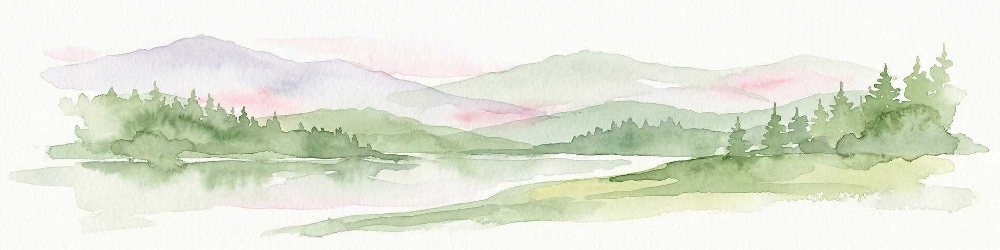
Watercolor illustration showing a valley landscape with a lake, mountains, and grassy foreground
National parkTrabzon Province
About 313 km away#8 closest

North

Altındere Valley National Park: Discover its Dramatic Protected Landscape and Geography in Trabzon

Explore the unique cliff-side monastery and mountain terrain of this national park.

Altındere Valley National Park is a significant protected area within Turkey's Trabzon Province, renowned for its breathtaking geography. The park encompasses a dramatic valley in the Pontic Mountains, where the historic Sümela Monastery is famously situated on a sheer cliff face. Users can explore the mapped boundaries, distinct landscape features, and the regional context of this unique protected natural and cultural heritage site. This destination offers a compelling focus for understanding protected landscapes and their integration with the surrounding geography.

Area
44.68 km²
Established
1987
IUCN
II
Relief
Mountain
Watercolor illustration showing the landscape of Göreme Historical National Park with characteristic rock formations in pink and green hues
National parkTurkey
About 345 km away#9 closest

West

Göreme Historical National Park: A Mapped Volcanic Landscape and Protected Cultural Heritage in Turkey

Explore the unique geography and rock-cut churches of Cappadocia.

Göreme Historical National Park presents a globally significant protected landscape, celebrated for its dramatic volcanic geology and extensive rock-cut architecture. This national park in Turkey's Cappadocia region features iconic fairy chimneys and ancient cave dwellings, offering a rich context for exploring human adaptation to natural terrain. MoriAtlas facilitates a detailed discovery of its mapped boundaries and regional geography, highlighting the intersection of natural wonder and historical habitation within this unique protected area.

IUCN
II
Watercolor illustration of mountainous landscape with rivers and fields
National parkTurkey
About 379 km away#10 closest

Northeast

Kaçkar Mountains National Park: Mapped Alpine Terrain in Turkey

Discover the dramatic glacial valleys and ridgelines.

Kaçkar Mountains National Park stands as a protected sentinel of Turkey's rugged alpine beauty. This national park encompasses dramatic peaks, glacier-carved valleys, and extensive highland meadows, offering a rich tapestry of mountain geography. Explore the mapped boundaries and landscape context of this iconic protected area, understanding its position within the broader topography of Turkey's Black Sea region.

IUCN
II
National parkYozgat Province
About 394 km away#11 closest

Northwest

Yozgat Pine Grove National Park: Historic First National Park and Ancient Pine Forest

Explore the protected landscape of Turkey's original national park.

As Turkey's pioneering national park, Yozgat Pine Grove National Park offers a deep dive into a unique protected landscape. This site provides detailed geographic context for its ancient pine forest, set dramatically against the steppe terrain of Yozgat Province. Understand the park's mapped boundaries and its ecological significance as a historic conservation area. MoriAtlas facilitates a structured exploration of this important natural heritage site, highlighting its role in Turkish protected land history and its distinct regional geography.

Area
2.64 km²
Established
1958
IUCN
II
Relief
Highland
National parkTurkey
About 424 km away#12 closest

Northeast

Sarıkamış-Allahuekber Mountains National Park: High-Altitude Protected Forest and WWI Memorial Landscape in Turkey

Explore the distinct protected terrain and historical geography of Turkey's eastern highlands.

Sarıkamış-Allahuekber Mountains National Park offers a unique exploration of high-altitude protected lands in Turkey. This national park is characterized by its remarkable pure Caucasian pine forests that thrive at elevations typically above the tree line, showcasing a rare alpine ecosystem. The park's rugged mountain terrain, marked by significant historical sites from the Battle of Sarikamish, provides a profound connection between natural landscape and human history within its mapped boundaries. Discover the geographic setting and protected status of this distinctive area.

Area
225.19 km²
Established
2004
IUCN
II
Relief
Mountain
Watercolor illustration of a winding river through green hills with pink flowers in the foreground
National parkArtvin Province
About 440 km away#13 closest

Northeast

Hatila Valley National Park: Dramatic V-Shaped Valley and Volcanic Terrain in Artvin Province

Explore protected landscape, waterfalls, and botanical diversity.

Hatila Valley National Park represents a significant protected area within Artvin Province, Turkey, notable for its exceptionally steep, V-shaped river valley. This national park features a striking volcanic landscape characterized by deep gorges, numerous waterfalls, and unique geomorphological structures. Its rich botanical diversity, with 769 documented plant species including many endemics, positions it as a key site for understanding protected landscapes and regional flora. The park's geographic setting at the eastern end of the Kaçkar Mountains provides context for its Mediterranean climate and varied terrain.

Area
169 km²
Established
1994
IUCN
II
Relief
Mountain
Watercolor painting showing mountain ranges with green and yellow color washes
National parkHakkari Province
About 462 km away#14 closest

East

Hakkari Cilo-Sat Mountains National Park: Glacial Terrain and Regional Geography Atlas

Mapped protected boundaries in Hakkari Province's high alpine environment.

Delve into the geography and protected landscape of Hakkari Cilo-Sat Mountains National Park. This page provides a structured atlas view of its dramatic glacial valleys, alpine lakes, and high peaks within Hakkari Province. Understand the mapped extent and unique topographic features of this newly designated national park, ideal for exploring Turkey's remote mountain ecosystems.

Area
275 km²
Established
2020
IUCN
II
Relief
Mountain
Nature reserveLebanon
About 469 km away#15 closest

Southwest

Palm Islands Nature Reserve: A Protected Lebanese Nature Reserve with Critical Marine Habitats

Discover the island geography and mapped protected area.

Palm Islands Nature Reserve encompasses three flat, rocky limestone islands off the coast of northern Lebanon. This vital nature reserve, recognized internationally as a Ramsar site and Mediterranean Specially Protected Area, serves as a critical habitat for endangered green sea turtles and Mediterranean monk seals. Its unique coastal landscape and surrounding waters offer essential resting grounds for migratory birds, making it a significant point in the regional atlas of protected lands.

Area
4.2 km²
Established
1992
Relief
Lowland
Climate
Mediterranean
Watercolor painting depicting a mountain valley with rolling hills, forests, and a river
National parkAdjara
About 469 km away#16 closest

Northeast

Machakhela National Park: Adjara's Colchic Forest Protected Landscape

Explore Georgia's unique Caucasus mountain geography and mapped park boundaries.

Machakhela National Park represents a crucial protected area in Georgia's Adjara region, safeguarding the integrity of ancient Colchic broadleaf forests. This park's landscape is characterized by the steep Machakhelistsqali River valley, carved into the lower Caucasus mountains, offering a distinct geographic profile for atlas exploration. Discover the park's specific terrain, mapped boundaries, and its ecological significance as a vital component of the regional natural heritage.

Area
130.7 km²
Established
2012
IUCN
II
Relief
Mixed relief
Nature reserveLebanon
About 476 km away#17 closest

Southwest

Horsh Ehden Nature Reserve: Protected Nature Reserve within Lebanon's Regional Geography

Explore mapped protected land and natural terrain.

Horsh Ehden Nature Reserve is identified as a critical protected area within Lebanon. This page facilitates an atlas-style exploration of the reserve's specific geographic footprint, highlighting its mapped boundaries and the distinct natural terrain it preserves. Understanding Horsh Ehden Nature Reserve's role as a nature reserve contributes to a broader appreciation of protected landscapes and their regional context.

Area
17.4 km²
Established
1992
IUCN
Ib
Relief
Mountain
Watercolor illustration of a landscape with green hills, trees, and a body of water
National parkAdjara
About 478 km away#18 closest

Northeast

Mtirala National Park: Protected Colchic Rainforest Landscape & Geographic Atlas

Explore Adjara's unique terrain and mapped protected boundaries.

Mtirala National Park, located in Georgia's Adjara region, is a protected national park renowned for its exceptionally high rainfall and ancient Colchic relict forests. This atlas-focused profile details the park's unique topography, its watershed between the Chakvistskali and Khoristskali rivers, and its significance as a vital ecosystem. Understand the geographic context of this protected landscape and its role in the broader Caucasus geography.

Area
281.26 km²
Established
2006
IUCN
II
Relief
Mixed relief
Watercolor painting showing mountains, trees, and a lake in soft green and blue tones
National parkArtvin Province
About 479 km away#19 closest

Northeast

Karagöl-Sahara National Park: Mapped Highland Lake and Plateau Protected Area

Discover Artvin Province's unique landslide lake and alpine terrain.

Karagöl-Sahara National Park presents a compelling protected landscape in Artvin Province, Turkey, renowned for its dramatic landslide lake, Karagöl, and the expansive Sahara plateau. This national park provides a unique map of highland geography, featuring dense conifer forests that give way to alpine meadows at elevations around 1,800 meters. Examine the geological character, including active landslide zones and sedimentary formations, that shape this distinctive terrain and contribute to its protected ecological value within the Black Sea Region.

Area
32.51 km²
Established
1994
IUCN
II
Relief
Mountain
Protected areaLebanon
About 483 km away#20 closest

Southwest

Ouadi Qadisha Protected Area: Explore Lebanon's Mapped Natural Landscapes and Geographic Boundaries

Discover the protected terrain and regional setting of Ouadi Qadisha.

Ouadi Qadisha stands as a key protected area, offering a focused lens on Lebanon's natural geography and protected landscapes. Through this entry, users can investigate the park's specific mapped boundaries, its regional terrain, and its importance within the atlas of natural areas. The structured data available here supports detailed exploration of the protected landscape's geographic context, distinguishing it within the Levant's diverse natural regions.

Relief
Mountain
Scope
Mixed
Water
Minor water
Distance methodology

Geographic measurements, not driving distances

How nearby park distances are calculated

Distances use park boundaries whenever the available geometry allows it. When one or both boundaries are missing, the mapped park locations provide a clearly labelled estimate. Every value represents straight-line geographic separation and does not use roads or routing.

Boundary distance

Calculated between the nearest points of both park boundaries.

Location-to-boundary estimate

Estimated from one mapped park location to the nearest boundary of the other park.

Mapped-location estimate

Estimated between the mapped locations of both parks.

MoriAtlas Explorer

Continue Exploring Mount Nemrut National Park's Geographic and Atlas Context

Deepen your understanding of Mount Nemrut National Park by exploring its specific geographic features and its place within the broader atlas of Turkey's protected lands. This platform enables detailed map-based discovery of park boundaries and landscape characteristics, offering insights essential for comprehending its natural and cultural significance beyond general descriptions.