Mori Atlas logo
Nearby park discovery

Geographic distribution of nearby protected areas and mountain landscape regions

Parks near Mount Rinjani National Park

Compare protected areas near Mount Rinjani National Park, ordered by geographic distance. They include West Bali NP and Alas Purwo.

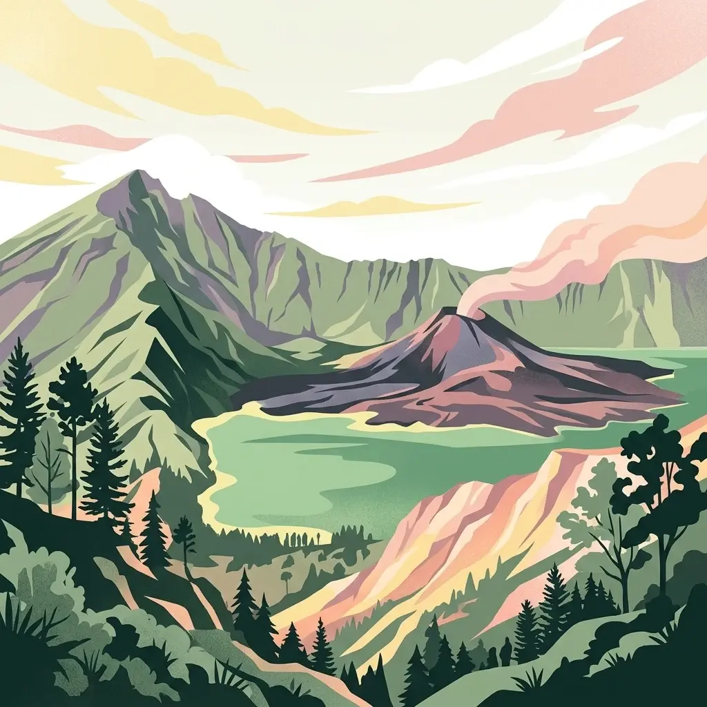
A stylized illustration showing a volcanic mountain landscape with a crater lake in the foreground and a smaller erupting volcano in the center, surrounded by rugged ridges and forest slopes under a soft, pastel-toned sky.

Sacred volcanic landscape of Lombok's towering summit and crater lake

Mount Rinjani National Park

Mount Rinjani National Park encompasses the volcanic landscape of Lombok Island in West Nusa Tenggara, Indonesia. The park centers on Mount Rinjani, an active stratovolcano that rises to 3,726 meters above sea level, making it the second-highest volcano in Indonesia. The park protects diverse ecosystems ranging from tropical rainforest at lower elevations through montane forest to subalpine vegetation near the summit. At the volcano's crater lies Segara Anak, a stunning crater lake nestled within the caldera, which holds both ecological significance and deep cultural meaning for the indigenous Sasak people. Established in 1990, the park serves as a critical protected area for Indonesia's volcanic mountain ecosystems and supports remarkable biodiversity across its elevational gradient.

Location
Indonesia
Park type
National park
Established
1990
Area
413 km²
Highest point
3,726 m
Mount Rinjani National Park Details
Regional park map

See the ranked park cluster in its geographic setting

Nearby parks around Mount Rinjani National Park

This regional map shows the same 20 nearby parks ranked below around Mount Rinjani National Park. Select a ranked marker to highlight that park’s boundary where boundary data is available.
Reference park: Mount Rinjani National ParkRanked nearby park20 nearby parks shown
20 nearby parks

Ranked distance metrics and regional park geography for comparative environmental analysis

Parks and Protected Areas Geographically Near Mount Rinjani National Park

Examine the ranked collection of protected areas situated within geographic proximity to Mount Rinjani National Park, measured through direct spatial separation rather than road routes. Analyzing surrounding regional park geography and recorded environmental traits provides structured comparison signals across neighboring conservation landscapes.
A flat vector illustration showing a layered landscape of lush green forest in the foreground, rolling hills in the midground, and distant mountains under a warm pastel sky.
National parkIndonesia
About 213 km away#1 closest

West

West Bali National Park: An Indonesian National Park for Geographic and Landscape Exploration

Understand its mapped boundaries and regional natural terrain.

West Bali National Park is a significant protected landscape offering a focal point for geographic discovery within Indonesia. This national park provides context for the region's natural terrain and the spread of conservation lands. Explore its identity as a mapped protected area and understand its contribution to the broader atlas of Indonesian geography and protected landscapes, perfect for detailed landscape exploration.

Area
190.029 km²
Established
1941
IUCN
II
Visitors
58.7K annual
A stylized digital illustration of a sandy beach meeting a calm sea, featuring a large mangrove tree with exposed roots in the foreground and dark, layered clouds in a sunset sky.
National parkEast Java
About 217 km away#2 closest

West

Alas Purwo National Park: A Protected Landscape within East Java's Geography

Mapped natural terrain and national park status in East Java.

Delve into the atlas-specific details of Alas Purwo National Park, a key protected area located in the East Java region of Indonesia. This page focuses on its identity as a national park, highlighting its geographic significance and the value of its mapped landscape for structured discovery. Understand the context of this protected land within the broader geography of East Java, contributing to a comprehensive overview of Indonesia's conservation territories.

Area
434.2 km²
Established
1992
IUCN
II
Visitors
14.7K annual
A stylized flat-design illustration showing a volcanic mountain rising above a coastal savanna, with rugged cliffs meeting the blue ocean in the foreground.
National parkSitubondo Regency
About 235 km away#3 closest

West

Baluran National Park

Mapped boundaries and natural terrain in Situbondo Regency.

Baluran National Park, in Situbondo Regency, Indonesia. Landscapes: mountains, hills, and valleys.

Area
250 km²
Established
1980
IUCN
II
Visitors
10.2K annual
A digital illustration of a lush coastal cliff at sunset, with dense green vegetation, a lone bare tree, and rocky outcrops in the calm ocean water under a pink and orange sky.
National parkEast Java
About 290 km away#4 closest

West

Meru Betiri National Park: Mapped Protected Landscape in East Java

Discover the terrain and geography of this national park.

Meru Betiri National Park in East Java, Indonesia, offers a rich tapestry of mapped landscapes, from its distinctive sandy beaches and mangrove ecosystems along the southern coast to its interior volcanic highlands and tropical rainforests. This protected area is crucial for understanding the regional geography and the distribution of conservation lands across Java. Explore its topographic diversity and unique ecological settings that define this significant national park.

Area
580 km²
Established
1982
IUCN
II
Visitors
2.5K annual
A digital illustration showing three traditional boats with masts floating in calm green water before rolling, arid-looking hills under a soft, light-colored sky.
National parkEast Nusa Tenggara
About 323 km away#5 closest

East

Komodo National Park

Mapped boundaries and regional geography for this Indonesian protected area.

Komodo dragons, island landscapes, and coral reefs characterize this protected area in Indonesia's Lesser Sunda Islands.

Area
1,733 km²
Established
1980
IUCN
II
Visitors
45K annual
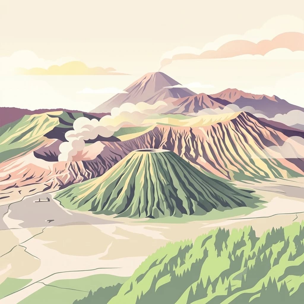
A stylized digital illustration of a volcanic landscape featuring a prominent central cone, a large crater rim, and mountain peaks under a soft sky.
National parkEast Java
About 365 km away#6 closest

West

Bromo Tengger Semeru National Park

Mapped terrain and protected area boundaries in Indonesia's East Java

Bromo Tengger Semeru National Park, in East Java, Indonesia. Landscapes: mountains, volcanoes, and valleys.

Area
502.76 km²
Established
1982
IUCN
II
Visitors
61.7K annual
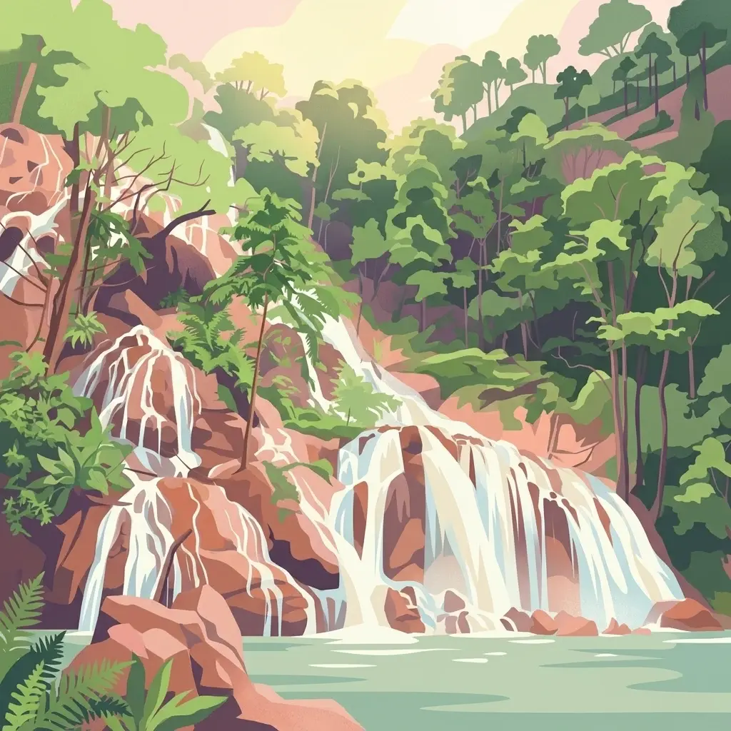
A stylized, colorful illustration of a multi-tiered waterfall cascading down rocky slopes into a pool, surrounded by dense green forest trees and ferns.
National parkEast Nusa Tenggara
About 388 km away#7 closest

East

Manupeu Tanah Daru National Park: National Park Protected Landscape and East Nusa Tenggara Geography

Discover its mapped boundaries and regional atlas context.

Delve into the protected landscape of Manupeu Tanah Daru National Park, a significant national park situated within East Nusa Tenggara. This dedicated page provides detailed geographic context, focusing on the park's mapped boundaries and its contribution to the regional natural landscape. Understand its identity as a protected area and explore its place within the broader atlas of global conservation lands, fostering a deeper appreciation for its distinct geographic characteristics.

Area
879.84 km²
Established
1998
IUCN
II
Relief
Lowland
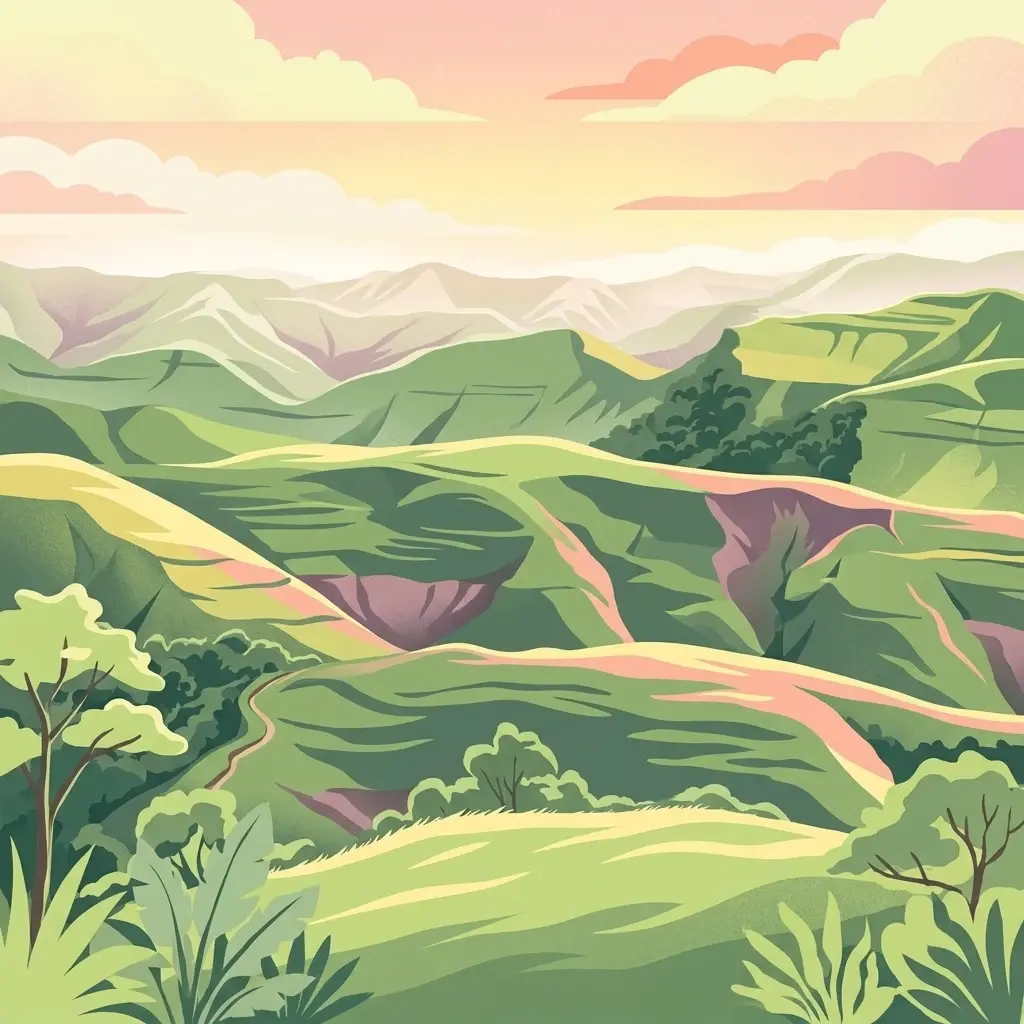
A stylized digital illustration of a mountainous tropical landscape with rolling green hills, valleys, and distant hazy peaks under a sunset sky.
National parkSumba
About 453 km away#8 closest

Southeast

Laiwangi Wanggameti National Park: Protected Landscape and Geographic Atlas

Explore the mapped boundaries and regional context of this national park.

Laiwangi Wanggameti National Park serves as a vital protected area within Indonesia's Sumba region. This entry facilitates a deep dive into the park's specific geography, offering insights into its mapped protected boundaries and its contribution to the regional landscape. Users can engage with structured data to understand the park's unique natural identity and its place within a broader atlas of protected lands, focusing on geographic context and landscape characteristics.

Area
470.14 km²
Established
1998
IUCN
II
Scope
Terrestrial
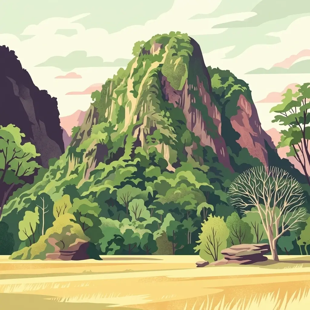
A digital illustration depicting a prominent, steep, green, jungle-covered karst mountain rising above a dry, golden-toned foreground plain.
National parkSouth Sulawesi
About 535 km away#9 closest

Northeast

Bantimurung-Bulusaraung National Park

Mapped boundaries and regional atlas context for this South Sulawesi park.

Bantimurung-Bulusaraung National Park, in South Sulawesi, Indonesia. Landscapes: karst, cliffs, and mountains.

Area
437 km²
Established
2004
IUCN
II
Visitors
600K annual
National parkIndonesia
About 556 km away#10 closest

East

Taka Bonerate National Park: National Park Geography and Protected Landscape Atlas

Understand the mapped boundaries and regional context of Taka Bonerate National Park

Explore Taka Bonerate National Park as a key protected area within Indonesia, focusing on its geographic identity and atlas significance. This entry provides structured information on the park's role as a national park, highlighting its landscape context and mapped terrain. Users can gain a clear understanding of Taka Bonerate National Park's place within Indonesia's diverse geography and its protected land features through detailed map-oriented discovery.

Marine protected areaWestern Australia
About 578 km away#11 closest

South

Argo-Rowley Terrace Marine Park: Mapped Geography and Marine Protected Area Context

Expansive oceanic territory within the Western Australian region

Argo-Rowley Terrace Marine Park represents a vast offshore environment protecting diverse aquatic life and unique seafloor features. This marine protected area bridges the gap between the isolated Rowley Shoals and deep-water abyssal hills. The region is essential for understanding the structural geology of the ocean floor, encompassing everything from shallow reefs to abyssal plains in the remote north-west of Australia.

Area
146,003 km²
Established
2018
IUCN
VI
Relief
Lowland
An illustration of two distinct crater lakes within a volcanic landscape, one bright turquoise and one dark, surrounded by rugged rocky cliffs and sparse vegetation under a cloudy sky.
National parkEast Nusa Tenggara
About 599 km away#12 closest

East

Kelimutu National Park: Volcanic Terrain and Colored Crater Lakes in East Nusa Tenggara

Explore the mapped geography of this unique Indonesian national park.

Kelimutu National Park represents a remarkable protected landscape in East Nusa Tenggara, Indonesia, distinguished by its volcanic origins and the famed three colored lakes of Mount Kelimutu. This national park protects diverse montane forests and offers a unique insight into the region's geological wonders. Its geography features volcanic slopes and the iconic caldera, making it a significant point of interest for atlas-driven exploration of protected natural areas.

Area
50 km²
Established
1992
IUCN
II
Visitors
12.5K annual
A stylized, flat-design illustration showing a tall, rugged volcano in the background with a foreground of dense, varied green trees and plants under a warm-toned sky.
National parkIndonesia
About 665 km away#13 closest

West

Gunung Merapi National Park

Explore mapped boundaries and regional natural terrain within Indonesia.

Gunung Merapi National Park, in Indonesia. Landscapes: mountains, volcanoes, and forests.

Area
64.1 km²
Established
2004
Relief
Mountain
Climate
Tropical
A stylized illustration of a large green mountain under a soft sun, viewed through a forest of trees and ferns.
National parkIndonesia
About 667 km away#14 closest

West

Gunung Merbabu National Park: A Key Protected Landscape in Indonesia's Geography

Explore its mapped protected area boundaries and regional setting.

Gunung Merbabu National Park represents a distinct protected area entity within Indonesia's expansive geography. This page provides detailed information on the park's status as a national park, emphasizing its mapped territory and contribution to the understanding of protected landscapes. Discover its geographic context and how it fits into the broader atlas of Indonesian natural areas, offering a focused view for those interested in regional park geography and landscape exploration.

Area
57 km²
Established
2004
Relief
Mountain
Climate
Tropical
National parkWest Sulawesi
About 691 km away#15 closest

Northeast

Gandang Dewata National Park: Protected Area Identity and Geographic Context in West Sulawesi

Explore mapped boundaries and regional landscape.

Delve into the protected landscape of Gandang Dewata National Park, a key national park situated in West Sulawesi. This resource offers a detailed geographic perspective, emphasizing its mapped boundaries and its position within the regional atlas. Understand the park's protected-area status and its contribution to the natural geography of Indonesia, serving as a vital point for atlas exploration.

Area
793.42 km²
Established
2016
IUCN
II
Relief
Mountain
A digital illustration of a peat swamp forest landscape with low green islands of vegetation amidst dark reflective water and a sky filled with soft pink and cream clouds.
National parkCentral Kalimantan
About 713 km away#16 closest

Northwest

Sabangau National Park: Central Kalimantan's Mapped Protected Landscape

Discover protected area boundaries and regional geography.

Sabangau National Park stands as a notable protected area within the expansive Central Kalimantan region of Indonesia. This national park offers a focused point for exploring specific mapped boundaries and understanding its unique position within the broader geographic tapestry of Borneo. Users can investigate the park's landscape context and its identity as a distinct protected territory, contributing to a structured understanding of Indonesia's natural areas.

Area
5,687 km²
Established
2004
IUCN
II
Relief
Lowland
An illustration of a tropical beach coastline with soft pastel colors, featuring palm trees leaning over white sand, gentle turquoise waves, and a hazy horizon.
National parkCentral Java
About 724 km away#17 closest

Northwest

Karimunjawa National Park: A National Park in Central Java's Geographic Atlas

Mapped protected boundaries and landscape context.

Gain a structured atlas-based understanding of Karimunjawa National Park, a designated national park located in Central Java, Indonesia. This detailed view focuses on the park's geographic footprint and its significance as a protected landscape. Explore its mapped territory and regional context, contributing to a comprehensive overview of natural areas within the Central Java region.

Area
1,101.17 km²
Established
1999
IUCN
II
Relief
Upland
National parkSouth East Sulawesi
About 748 km away#18 closest

Northeast

Rawa Aopa Watumohai National Park: Geographic Atlas and Protected Landscape Overview

Explore Rawa Aopa Watumohai National Park's mapped boundaries.

Gain a clear understanding of Rawa Aopa Watumohai National Park, a designated national park in South East Sulawesi. This entry offers insight into its protected landscape identity, mapped geographic features, and its specific location within the regional atlas. It serves as a focused point for comprehending the park's protected area context and its contribution to Indonesian natural geography.

Area
1,050 km²
Established
1989
IUCN
II
Relief
Mixed relief
A digital illustration showing a calm, dark river flowing through a lush green tropical forest in Borneo.
National parkKalimantan
About 772 km away#19 closest

Northwest

Tanjung Puting National Park: A Detailed Protected Landscape Atlas View

Mapped boundaries and regional geography for this Indonesian national park.

Delve into the protected landscape identity of Tanjung Puting National Park, a designated national park situated in Kalimantan. This resource provides a detailed atlas perspective, focusing on its geographic scope, mapped park boundaries, and contribution to the regional geography of Indonesia. Understand its significance as a protected natural area through structured discovery.

National parkCentral Sulawesi
About 825 km away#20 closest

Northeast

Lore Lindu National Park

Explore its endemic species, megalithic sites, and rich geography.

Lore Lindu National Park, in Central Sulawesi, Indonesia. Landscapes: forests, valleys, and mountains.

Area
2,180 km²
Established
1982
IUCN
II
Visitors
2K annual
Distance methodology

Geographic measurements, not driving distances

How nearby park distances are calculated

Distances use park boundaries whenever the available geometry allows it. When one or both boundaries are missing, the mapped park locations provide a clearly labelled estimate. Every value represents straight-line geographic separation and does not use roads or routing.

Boundary distance

Calculated between the nearest points of both park boundaries.

Location-to-boundary estimate

Estimated from one mapped park location to the nearest boundary of the other park.

Mapped-location estimate

Estimated between the mapped locations of both parks.

MoriAtlas Explorer

Mount Rinjani National Park

Explore the map, landscapes, and protection details for Mount Rinjani National Park.

Global natural geography