
Northwest
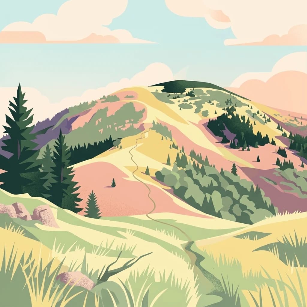
Low Tatras National Park
Explore mapped terrain and regional geographic context.
Low Tatras National Park, in Slovakia. Landscapes: mountains, valleys, and forests.
- Area
- 728 km²
- Established
- 1978
- IUCN
- II
- Relief
- Mountain
Explore the regional landscape and mapped boundaries of nearby protected environments
This geographic overview highlights protected areas situated near the limestone and dolomite plateau of Muránska planina National Park. Gain perspective on regional terrain, natural boundaries, and the distribution of conserved landscapes across this part of the Banská Bystrica Region through map-based identification.

Karst plateau wilderness with endemic flora in central Slovakia
Muránska planina National Park is one of Slovakia's youngest national parks, established in October 1997 and officially opened in May 1998. Located in central Slovakia within the Banská Bystrica Region, the park protects a distinctive limestone and dolomite karst plateau that forms part of the Slovak Ore Mountains. The landscape is characterized by a relatively flat plateau surface situated between 900 and 1,400 meters elevation, with steep rocky ravines along its northwestern and southeastern edges. The area contains over 150 notable caves, numerous abysses, sinkholes, and karst springs, making it one of Slovakia's most geologically significant protected areas. Forests cover approximately 90% of the park, and the area supports remarkable biodiversity including 35 endemic and sub-endemic species, such as the rare Daphne arbuscula, a Tertiary relict plant that has grown in the region for millions of years.
See the ranked park cluster in its geographic setting
Distance ranked collection and regional park geography surrounding Muránska planina National Park

Northwest
Explore mapped terrain and regional geographic context.
Low Tatras National Park, in Slovakia. Landscapes: mountains, valleys, and forests.

Northeast
Explore the boundaries and terrain of this national park.
Investigate Slovak Paradise National Park, a designated national park situated within Slovakia's Košice Region. This detailed entry provides essential context for understanding its protected landscape features, mapped geographic distribution, and role within regional atlas exploration. Discover its unique terrain and boundaries to build a comprehensive view of Slovak conservation areas.

Southeast
Explore protected terrain and mapped underground wonders in Košice Region.
Slovak Karst National Park offers an unparalleled glimpse into a dynamic karst environment. As a designated national park and UNESCO Biosphere Reserve, it preserves a significant concentration of caves, dramatic limestone formations, and rugged canyons within its territory in southeastern Slovakia. This atlas-focused presentation highlights the park's distinctive geology, mapped landscape features, and its importance as a protected natural area within the broader geography of the Košice Region. Understand the park's surface topography and its world-renowned subterranean realms.

North
Protected Mountain Terrain in the Carpathian Range
Examine the geographic framework of Tatra National Park, a significant protected area in Slovakia defined by dramatic glacial valleys, over three hundred caves, and high-altitude mountain ecosystems. This authoritative entry provides a detailed look at the park's alpine boundaries, hydrological networks, and role as a transboundary biosphere reserve in the Carpathian Mountains.

North
Glacial valleys, granite peaks, and mountain biodiversity in Lesser Poland.
Tatra National Park stands as a vital sanctuary for Poland's alpine mountain ecosystems. The protected area features a striking landscape of high-altitude rock formations, glacial cirques holding deep blue lakes, and extensive subterranean cave systems. By studying the park boundaries and vertical zonation, users gain insight into the ecological diversity of the Carpathian arc and the physical geography of the Lesser Poland region.

Southeast
Karst Landscape & Cave Systems
Aggtelek National Park, in Hungary. Landscapes: mountains, hills, and valleys.

Southeast
A mapped overview of the Aggtelek Karst subterranean systems.
Baradla Cave functions as a protected natural monument, offering a comprehensive look at the geological processes within the Aggtelek Karst. The system is defined by its seven-kilometer main passage, giant chambers, and extraordinary variety of stalactite and stalagmite formations, revealing how climate and water have shaped the underground landscape over millennia.

Northwest
Explore the park's mapped boundaries and regional natural terrain.
Veľká Fatra National Park stands as a distinct protected area, offering critical insights into Slovakia's regional geography and landscape character. This entry provides an atlas-driven perspective on its mapped boundaries and its significance as a national park. Delve into the structured geographic details and protected land context that define Veľká Fatra National Park for comprehensive discovery.

North
A vital peatland complex within the Polish Carpathian foothills.
Torfowiska Orawsko-Nowotarskie stands as one of the most comprehensive peatland conservation sites in the Polish Carpathians. Its landscape is defined by dome-shaped raised bogs, marshy pools, and boggy woodlands that occupy the broad intermontane basin of the Kotlina Orawsko-Nowotarska, offering a unique look at post-glacial wetland ecology.

North
Explore karst terrain, river gorge geography, and mountain boundaries
Pieniny National Park showcases remarkable limestone scenery and rare karst microhabitats along the Slovak-Polish border. This atlas focus provides a technical overview of the park's physical boundaries, river canyon systems, and its geological significance within the Prešov Region. Access key geographic data regarding the Lesser Pieniny ridges and the unique ecological corridors that define this internationally recognized conservation zone.

Northwest
Explore the mapped terrain and regional geography.
Malá Fatra National Park serves as a cornerstone for understanding Slovakia's protected landscapes. This dedicated park page provides crucial geographic context, detailing its national park designation and the extent of its protected area boundaries. Users can leverage MoriAtlas to visualize the park's location within the broader regional geography, facilitating a structured approach to discovering its natural landscape and terrain through map-based exploration.

North
Limestone karst landscapes and Carpathian mountain terrain
Examine the topography of Pieniny National Park, from the towering Trzy Korony peaks to the narrow channels of the Dunajec River gorge. This detailed overview covers the protected limestone ridges and species-rich meadows that define one of the most prominent natural landscapes in the Lesser Poland region.
Northeast
Exploring the river corridor and riparian ecosystems of southern Poland
Spanning 755 hectares across four connected enclaves, Środkowy Dunajec z dopływami protects the vital riverine systems of the middle Dunajec and its tributaries. This site offers a unique look at the fluvial processes and biodiversity of Carpathian mountain streams, showcasing diverse habitat structures from pioneer gravel banks to mature riparian forests.

North
Mountain meadows and Carpathian forest landscapes in southern Poland
Gorce National Park, in Lesser Poland Voivodeship, Poland. Landscapes: mountains, valleys, and forests.

Southeast
Explore mapped boundaries and unique protected landscapes.
Bükk National Park, in Borsod-Abaúj-Zemplén County, Hungary. Landscapes: mountains, forests, and caves.
North
Ecological corridors across the Gorce and Beskid Wyspowy ranges
Covering nearly 18,000 hectares, Ostoja Gorczańska represents a significant biodiversity reservoir in the Polish Carpathians. The site integrates multiple protection frameworks, safeguarding varied habitats from subalpine grasslands to dense montane forests and peatland depressions. Use this resource to examine the structural connectivity of these mountain units and the expansive wilderness corridors found within the Lesser Poland Voivodeship.
North
Nature reserve on the southern slopes of the Gorce mountains
The Rezerwat przyrody Modrzewie nature reserve protects a rare stand of old-growth larch trees within the Gorce mountain range. Located on the southern slopes of Lubań in the Lesser Poland Voivodeship, this site provides valuable data on Carpathian forest ecology, displaying distinct tree populations that contrast with the surrounding alpine meadows and montane landscapes of southern Poland.
Geographic measurements, not driving distances
Calculated between the nearest points of both park boundaries.
Estimated from one mapped park location to the nearest boundary of the other park.
Estimated between the mapped locations of both parks.
Deepen your understanding of Muránska planina National Park by tracing its protected boundaries and examining its unique karst terrain within the broader geography of the Banská Bystrica Region. MoriAtlas provides structured data for exploring Slovakia's significant natural areas, offering a cartographic perspective on protected lands and their regional context, ideal for detailed atlas exploration.