Mori Atlas logo
Nearby park discovery

Regional mapping and boundary exploration for coastal New Zealand environments

Protected Areas and Geographic Landscapes Near Punakaiki Marine Reserve

Examine the geographic distribution of protected areas situated near Punakaiki Marine Reserve on the West Coast. This resource provides a spatial overview of nearby park boundaries and regional landscape features to help visualize the broader protected network surrounding this significant marine corridor.

Stylized digital illustration showing a winding coastal road along steep, vegetated cliffs meeting a sandy beach and ocean, with a large sun on the horizon.

A West Coast marine sanctuary protecting the waters beneath New Zealand's famous Pancake Rocks.

Punakaiki Marine Reserve

Punakaiki Marine Reserve is a protected marine area administered by the New Zealand Department of Conservation on the West Coast of the South Island. It surrounds the iconic Pancake Rocks and blowholes at Dolomite Point, near the small settlement of Punakaiki in the Buller District, and encompasses most of the seaward edge of Paparoa National Park. The reserve covers roughly 3,520 hectares of coastal and offshore waters, extending about 10.8 kilometres along the coast and reaching approximately 3.7 kilometres out to sea. Its sheltered waters contain a mosaic of rocky shore, gravel, cobble, and sandy seabed habitats down to about 20 metres depth, supporting a diverse array of marine life, seabirds, and coastal fauna. Established in 2014, the reserve represents a significant step in marine protection along the West Coast. It works in tandem with the adjacent Paparoa National Park to create a continuous protected corridor where both terrestrial and marine ecosystems are safeguarded for conservation, research, and public enjoyment.

Location
New Zealand
Park type
Marine protected area
Established
2014
Area
35.2 km²
Punakaiki Marine Reserve Protected Area
Regional park map

See the ranked park cluster in its geographic setting

Nearby parks around Punakaiki Marine Reserve

This regional map shows the same 20 nearby parks ranked below around Punakaiki Marine Reserve. Select a ranked marker to highlight that park’s boundary where boundary data is available.
Reference park: Punakaiki Marine ReserveRanked nearby park20 nearby parks shown
20 nearby parks

Distance ranked collection and regional park geography for comparative analysis

Parks and Protected Areas Geographically Near Punakaiki Marine Reserve

Geographic separation metrics establish a structured ranking of protected areas situated near Punakaiki Marine Reserve, measuring linear proximity rather than driving routes. Evaluating surrounding landscape characteristics alongside country context reveals diverse ecological patterns across neighboring coastal and terrestrial habitats.
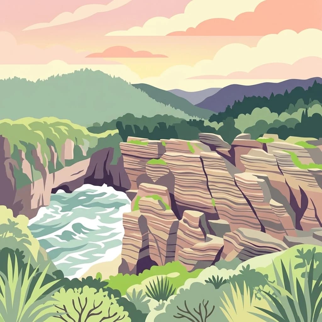
A stylized flat illustration of the Pancake Rocks in Paparoa National Park, featuring layered limestone cliffs meeting the churning ocean surf under a sunset sky.
National parkWest Coast Region
About 0.2 km away#1 closest

East

Paparoa National Park: Detailed Geographic Atlas of Karst Formations and Coastal Terrain

Discover protected landscape boundaries and unique New Zealand geology.

Paparoa National Park, located in the West Coast Region of New Zealand, offers a unique window into complex karst geology and dynamic coastal landscapes. This national park is characterized by extensive limestone cave systems, underground rivers, and the famous Pancake Rocks and Blowholes. The park's geography includes dramatic mountain terrain within the Paparoa Range and a striking coastline, providing a rich dataset for mapping protected area context and understanding regional natural features. It stands apart for its subterranean wonders and eroded limestone formations.

Area
429.7 km²
Established
1987
IUCN
II
Relief
Mountain
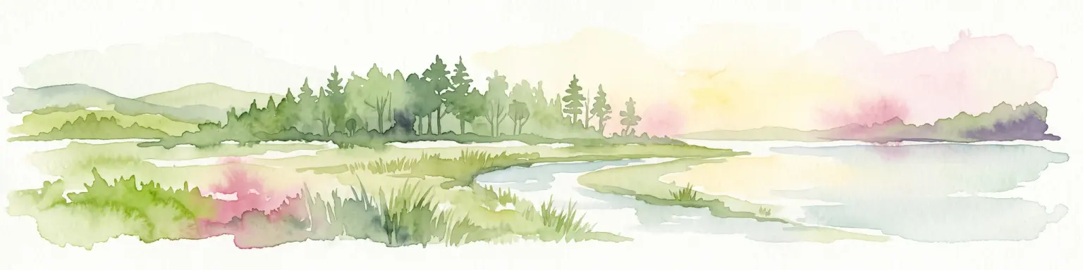
Watercolor illustration depicting a serene landscape featuring a dense forest of evergreen trees bordering a river, with soft rolling hills in the background and grassy marshland in the foreground.
Protected landscapeSouth Island
About 47 km away#2 closest

East

Victoria Forest Park: A Deep Dive Into New Zealand's Largest Protected Forest Landscape

Inland West Coast mountain ranges and beech forest ecosystems

Spanning over 200,000 hectares, Victoria Forest Park stands as a defining geographic feature of the South Island. It acts as a critical refuge for endemic species and preserves all five native beech tree types within a massive, continuous protected area. The landscape integrates rugged mountain ranges with deep river valleys and historical industrial artifacts, providing a comprehensive look at the intersection of conservation and regional history.

Area
2,069 km²
Established
1981
Relief
Mountain
Climate
Temperate
A digital illustration of a mountain valley with steep, green slopes and rocky terrain under a soft, pastel-colored sky.
National parkNew Zealand
About 76 km away#3 closest

South

Arthur's Pass National Park

Explore the unique geography and mapped boundaries of this South Island national park.

Arthur's Pass National Park, in New Zealand. Landscapes: mountains, valleys, and forests.

Area
1,184.7 km²
Established
1929
IUCN
II
Relief
Mountain
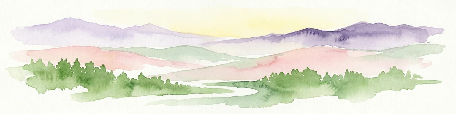
Watercolor painting of mountains, green valleys, and a winding river under a soft sky
National parkWest Coast Region
About 79 km away#4 closest

Northeast

Kahurangi National Park

Explore the mapped natural terrain and regional geographic context.

Kahurangi National Park, in West Coast Region, New Zealand. Landscapes: mountains, valleys, and plateaus.

Area
5,193 km²
Established
1996
IUCN
II
Relief
Mixed relief
Digital illustration of a mountain stream cascading over rocks through a forest, with snow-capped mountain peaks in the background.
National parkNew Zealand
About 86 km away#5 closest

East

Nelson Lakes National Park: Alpine Geography and Glacial Lakes Atlas

Explore New Zealand's protected mountain terrain and natural landscapes.

Nelson Lakes National Park provides a deep dive into a dramatic alpine environment situated at the northern edge of New Zealand's Southern Alps. This national park is characterized by its striking glacial lakes, Rotoiti and Rotoroa, and the extensive mountain ranges that surround them, offering a rich context for understanding protected land distribution. Explore the park's mapped geography, its distinct beech forest ecosystems, and the rugged natural terrain that makes it a significant feature within the broader South Island landscape.

Area
1,018.8 km²
Established
1956
IUCN
II
Relief
Mountain
A stylized flat vector illustration of a mountain valley at sunrise. A small cabin sits in the foreground among trees and grassy hills, with large mountain peaks rising in the background under a soft, warm sky.
Protected landscapeCanterbury
About 95 km away#6 closest

Southeast

Lake Sumner Forest Park: Geography and Protected Landscape Atlas for Canterbury

Mountainous river valleys and remote beech forests

Spanning over 100,000 hectares of the Canterbury high country, Lake Sumner Forest Park stands as a prime example of New Zealand's protected backcountry. This mapping resource details the park's river-carved terrain, subalpine fringes, and its role as a connective wilderness area between major South Island mountain ranges.

Area
1,051 km²
Relief
Mountain
Climate
Temperate
Access
Moderate access
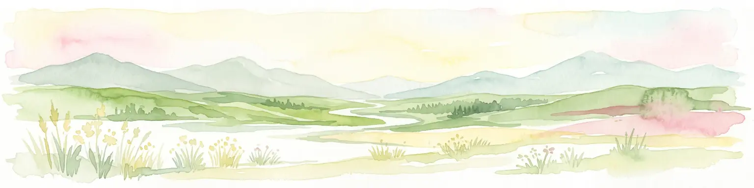
A soft watercolor illustration featuring a panoramic view of rolling green hills, distant mountains, a meandering stream, and wildflowers in the foreground.
Protected landscapeSouth Island
About 120 km away#7 closest

South

Craigieburn Forest Park: Protected Alpine Landscape and Southern Alps Geography

High country terrain from beech forests to alpine ridges.

Situated along the eastern flanks of the Southern Alps, Craigieburn Forest Park offers a complex mountain geography that serves as both a recreational hub and an ecological restoration zone. The area features a clear transition from beech-clad valley floors and glacial terraces to wide tussock basins and craggy summits, providing a detailed look at the diverse natural terrain of the Canterbury region.

Area
446.948 km²
Established
1967
Relief
Mountain
Climate
Alpine
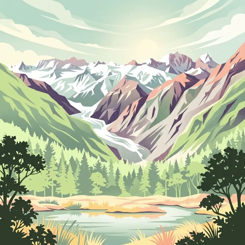
An illustration showing a valley with a central glacier, surrounded by steep mountains and a foreground forest with a small lake.
National parkWest Coast
About 131 km away#8 closest

Southwest

Westland Tai Poutini National Park: A Protected Landscape of Glaciers and Temperate Rainforests

Explore its mapped terrain and unique glacial features in West Coast, NZ.

Westland Tai Poutini National Park represents a remarkable intersection of glacial power and lush temperate rainforests along New Zealand's West Coast. As a protected national park, it showcases dramatic alpine scenery and the unique characteristic of glaciers descending to low elevations. Users can explore the mapped boundaries and the distinct natural landscapes that define this significant protected area, offering a clear view of its place within the region's geography.

Area
1,319.8 km²
Established
1960
IUCN
II
Relief
Mountain
An illustrative style digital painting of a coastal scene with lush green hills sloping into a sandy beach, calm ocean waves, and a pastel-colored sunset sky.
Marine protected areaWest Coast Region
About 132 km away#9 closest

Northeast

Kahurangi Marine Reserve: Protected Marine Landscapes and West Coast Geography

Mapped coastal reefs, nīkau forest margins, and subtidal habitats

Located in New Zealand's West Coast Region, Kahurangi Marine Reserve protects 16 kilometres of coastline and extends five kilometres offshore. The reserve is defined by its layered marine profile, ranging from boulder-strewn beaches to complex rocky reefs and expansive mud and sand seabeds. It serves as a vital protected counterpart to Kahurangi National Park, fostering habitats for Hector's dolphins and diverse reef communities within its remote and rugged geography.

Area
84.19 km²
Established
2014
Relief
Lowland
Climate
Temperate
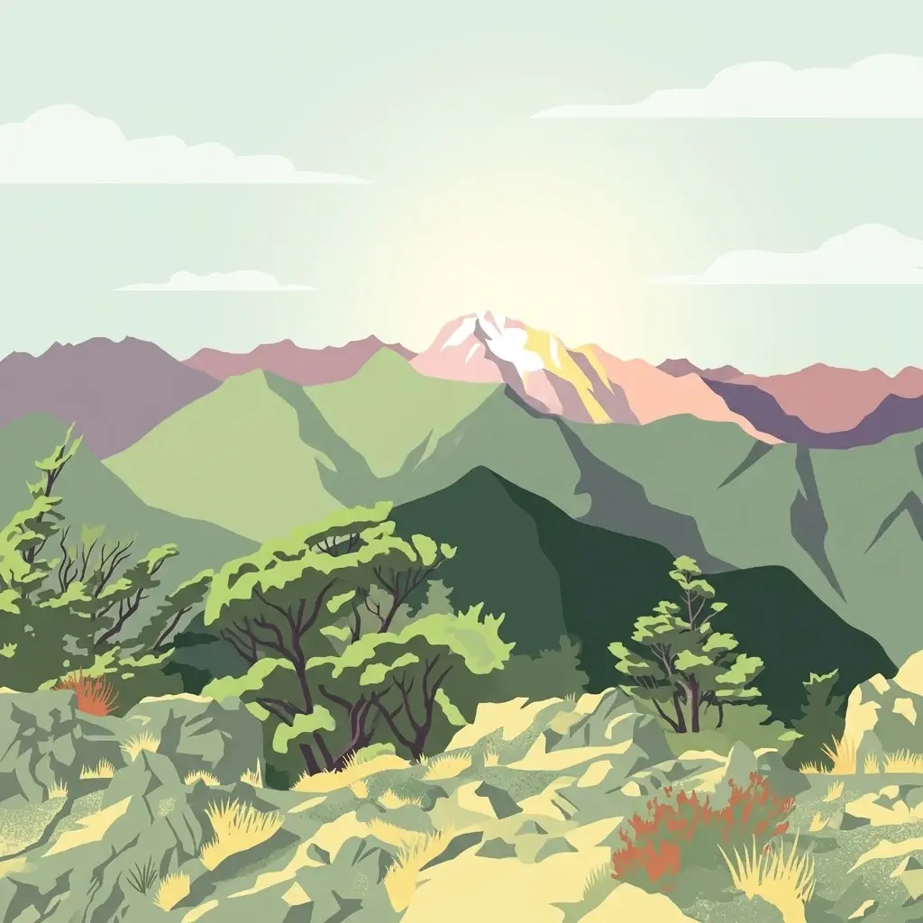
A flat-style digital illustration showing a rugged mountain range with green forested slopes and rocky foreground vegetation at sunrise.
Protected landscapeMarlborough Region
About 137 km away#10 closest

East

Mount Richmond Forest Park: Geography and Protected Landscapes in the Marlborough Region

Expansive native bush and mountain peak terrain

Mount Richmond Forest Park stands as one of the largest protected forest areas on the South Island of New Zealand. Dominated by dense native bush and rugged subalpine ridges, the park offers a complex topography of river valleys and high-altitude peaks, including its namesake Mount Richmond. It serves as a vital conservation landscape and a core segment of the regional geography between Nelson and the Marlborough district.

Area
1,659 km²
Established
1977
Relief
Mountain
Scope
Terrestrial
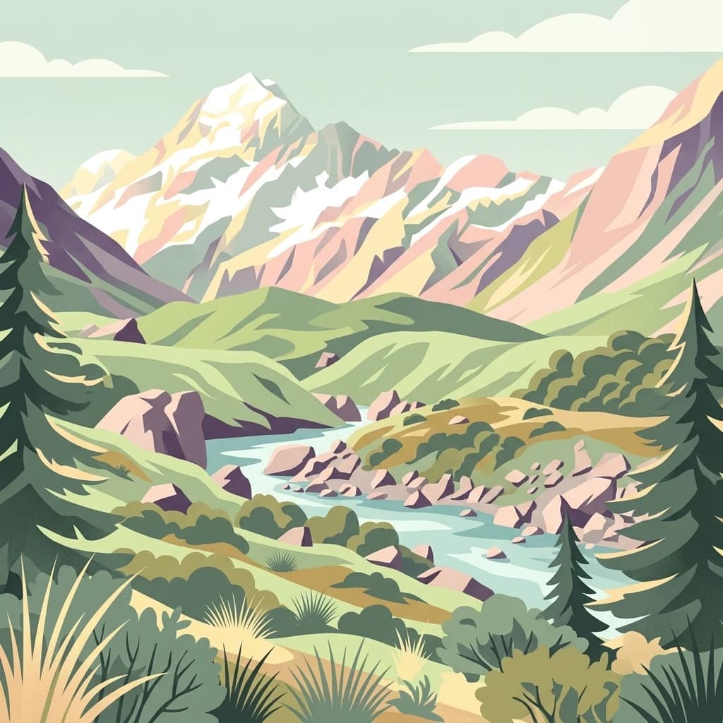
A stylized flat illustration of a snow-capped mountain range rising above a winding river valley with evergreen trees and alpine scrub.
National parkCanterbury Region
About 157 km away#11 closest

Southwest

Aoraki / Mount Cook National Park

Mapped glacial terrain and mountain peaks in the Canterbury Region.

Aoraki / Mount Cook rises above the Southern Alps alongside extensive icefields and glaciers, including the Tasman Glacier.

Area
707 km²
Established
1953
IUCN
II
Visitors
1M annual
Protected landscapeNew Zealand
About 175 km away#12 closest

Northeast

North-west Nelson Forest Park: Exploring the Tasman Region Protected Landscape Boundaries

A mapped overview of scattered conservation blocks in South Island, New Zealand.

North-west Nelson Forest Park provides an atlas-style perspective on the evolution of public conservation land in the Tasman region. Once a continuous wilderness, the remaining forest park is characterized by a series of excluded parcels that now border the Kahurangi National Park. This site documents the terrain and geographic distribution of these disparate forest blocks, offering insight into the legacy of land management and protected area formation within the northern South Island.

Established
1970
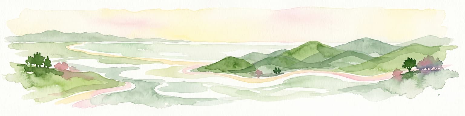
A horizontal watercolor illustration depicting a coastal landscape with winding light-colored sandbars, pale water channels, and soft green rolling hills under a muted pastel sky.
Regional parkCanterbury Region
About 175 km away#13 closest

Southeast

Northern Pegasus Bay Regional Park: Canterbury Coastal Geography and Protected Land Atlas

Mapping the beaches, estuaries, and dunes of Northern Pegasus Bay.

Northern Pegasus Bay spans a long, curving stretch of the Canterbury coastline on New Zealand's South Island. This regional park protects a range of coastal landforms, including pebbly beaches, dune systems, and the regionally significant Ashley Rakahuri Estuary. The geography reflects a dynamic exchange of sediment across multiple river mouths, creating a distinct environmental corridor between coastal communities and the sea.

Relief
Lowland
Climate
Temperate
Access
Easy access
Scope
Mixed
A digital illustration of a scenic coastline with a sandy beach meeting clear blue water, surrounded by lush green hills and native vegetation under a pale sky.
National parkTasman District
About 178 km away#14 closest

Northeast

Abel Tasman National Park

New Zealand's smallest national park offering iconic coastal hiking and wildlife.

Abel Tasman National Park, in Tasman District, New Zealand. Landscapes: hills, valleys, and rivers.

Area
237.1 km²
Established
1942
IUCN
II
Relief
Upland
An illustrative aerial perspective of the wide, braided Waimakariri River winding through patchwork agricultural fields and green spaces in the Canterbury region.
Regional parkCanterbury Region
About 179 km away#15 closest

Southeast

Waimakariri River Regional Park: Geography and Protected Landscape Atlas for Canterbury

Braided river corridors and wetland habitats in the Canterbury Region

Waimakariri River Regional Park encompasses a significant managed corridor along the Waimakariri River, featuring an intricate mix of braided riverbeds, saltmarshes, and reforested land. This profile details the park topography, highlighting its role in regional flood management and its varied natural terrain across the Canterbury Plains, providing a clear geographic view of its multi-use protected boundaries.

Area
150 km²
Relief
Lowland
Access
Easy access
Scope
Terrestrial
Marine protected areaCanterbury
About 187 km away#16 closest

East

Hikurangi Marine Reserve: Protected Marine Geography and Submarine Canyon Systems

Exploring the coastal reefs and deep trench environments of Canterbury

Hikurangi Marine Reserve represents a core protected landscape within the New Zealand marine atlas. Centered on the Kaikoura Canyon, the reserve features a sharp transition from rocky shoreline reefs to deep-sea environments that support a high density of cetaceans and seabirds. This map-focused profile examines the physical boundaries and unique oceanographic conditions that define this essential no-take marine zone.

Area
104.16 km²
Established
2014
IUCN
Ia
Relief
Lowland
A soft watercolor painting of stylized, rolling green hills against a white background.
Nature reserveNew Zealand
About 198 km away#17 closest

South

Peel Forest Park Nature Reserve: Mapped Geography and Protected Forest Landscapes

Canterbury Foothills and Southern Alps transition zone

Located in the foothills of New Zealand, Peel Forest Park preserves a significant fragment of native podocarp forest. This reserve features a diverse landscape of river valleys and forested slopes, offering a clear view of the transition from the Canterbury Plains to the Southern Alps massif.

Area
7.686 km²
Established
1909
Relief
Mountain
Climate
Temperate
A horizontal watercolor illustration showing a calm bay surrounded by rolling hills and soft greenery, with faint mountains in the background.
Marine protected areaNew Zealand
About 236 km away#18 closest

Southeast

Akaroa Marine Reserve: Protected Harbour Geography and Marine Map

Volcanic coastal terrain and no-take zone boundaries

Located on the Banks Peninsula, Akaroa Marine Reserve represents a vital marine protected area within a deeply indented volcanic harbour. The reserve offers a unique look at the contrast between inner harbour mudflats and outer rocky reefs, serving as an essential case study for marine conservation and coastal geography in New Zealand.

Area
5.12 km²
Established
2014
IUCN
Ia
Relief
Lowland
A watercolor illustration of a rolling green coastal landscape with hills and cliffs meeting the sea, depicted in soft pastel tones against a white background.
Marine protected areaCanterbury
About 238 km away#19 closest

Southeast

Pōhatu Marine Reserve: Mapping Coastal Conservation and Protected Marine Landscapes in Canterbury

A vital marine protected area on the Banks Peninsula coastline

The Pōhatu Marine Reserve serves as a critical no-take zone within the volcanic crater landscape of Canterbury. Its geography consists of sheltered inlets, steep cliff faces, and rich reef systems that support diverse fish biomass and protected nesting sites for native penguin colonies. The area remains a primary example of integrated coastal wildlife conservation on the Banks Peninsula.

Area
2.153 km²
Established
1999
Relief
Upland
Climate
Temperate
A minimalist, flat-style digital illustration showing an island with green slopes and forests surrounded by calm water, set against a backdrop of distant purple-toned mountains under a pale yellow and pink sunset sky.
Nature reserveNew Zealand
About 245 km away#20 closest

Northeast

Maud Island Nature Reserve: Geographic Overview and Protected Coastal Landscape

A pivotal conservation sanctuary in the Marlborough Sounds region

Maud Island represents a critical protected area in the Pelorus Sound of New Zealand. Defined by 320 hectares of forested, hilly terrain and a unique narrow isthmus, the island serves as a foundational refuge for species recovery. Its sheltered maritime setting makes it a key feature of the Marlborough Sounds geography and an essential location for scientific ecological research.

Area
3.2 km²
Established
1971
Relief
Upland
Climate
Temperate
Distance methodology

Geographic measurements, not driving distances

How nearby park distances are calculated

Distances use park boundaries whenever the available geometry allows it. When one or both boundaries are missing, the mapped park locations provide a clearly labelled estimate. Every value represents straight-line geographic separation and does not use roads or routing.

Boundary distance

Calculated between the nearest points of both park boundaries.

Location-to-boundary estimate

Estimated from one mapped park location to the nearest boundary of the other park.

Mapped-location estimate

Estimated between the mapped locations of both parks.

MoriAtlas Explorer

Explore the Geographic Boundaries of Punakaiki Marine Reserve

Deepen your understanding of coastal conservation geography by examining the mapped terrain and protected waters of Punakaiki Marine Reserve. MoriAtlas provides detailed context on the relationship between these marine habitats and the adjacent terrestrial wilderness, offering a clearer picture of how coastal protection is managed along the Tasman Sea shoreline.