Mori Atlas logo
Nearby park discovery

Geographic discovery of regional forest reserves and surrounding protected terrain

Protected Areas and Natural Landscapes Near the Réserve forestière de Diécké, Guinea

Explore the geographic distribution of protected areas and forest reserves clustered near the Réserve forestière de Diécké in the Yomou Prefecture. This regional overview highlights the spatial relationship between diverse lowland forest landscapes, mapped terrain boundaries, and the broader conservation context of southeastern Guinea.

Related tags

lowland rainforestevergreen foresttropical forest reserveforest conservationclosed canopy forest

A large lowland rainforest reserve in the forested hills of southeastern Guinea.

Réserve forestière de Diécké

The Réserve forestière de Diécké is a protected forest area in the Republic of Guinea, covering roughly 64,000 hectares of lowland forest in the country's southeastern Yomou Prefecture. Situated about 150 kilometers west of Bossou, the reserve occupies a hilly terrain that rises between 400 and 595 meters above sea level and consists mainly of dense, evergreen rainforest with a closed canopy. Inside the reserve, primary and secondary dense forest accounts for roughly seventy percent of the total area, while the rest comprises semi-dense forest, non-forested zones, and fallow land. Two principal rivers and three smaller watercourses cross the reserve, supporting the humid forest conditions and shaping a landscape of broken hills, swampy depressions, and patches of primary growth that remain difficult to access. Diécké is one of the few large lowland forest blocks in Guinea that has been explicitly managed in distinct protection zones, and it plays an important role as a remnant of West African humid forest in a region where forest cover has been reduced by agriculture, logging, and shifting cultivation pressures.

Location
Guinea
Park type
Nature reserve
Area
640 km²
Highest point
595 m
Explore Réserve forestière de Diécké Geography
Regional park map

See the ranked park cluster in its geographic setting

Nearby parks around Réserve forestière de Diécké

This regional map shows the same 17 nearby parks ranked below around Réserve forestière de Diécké. Select a ranked marker to highlight that park’s boundary where boundary data is available.
Reference park: Réserve forestière de DiéckéRanked nearby park17 nearby parks shown
17 nearby parks

Distance separation and regional environmental context for adjacent conservation zones

Ranked Protected Areas and Surrounding Regional Geography Near Réserve forestière de Diécké

Geographic distance metrics order nearby protected areas by spatial proximity to Réserve forestière de Diécké without implying driving routes or travel times. Comparing surrounding regional park geography reveals broader protected landscape patterns across the wider forest zone.
Protected areaNimba County
About 53 km away#1 closest

East

Nimba National Forest: Protected Mountain Landscape & Bird Area in Nimba County

Explore mapped boundaries and regional geographic context.

Nimba National Forest, a protected area of approximately 187 square kilometers, is defined by its mountainous terrain in Nimba County, Liberia. Situated at the tri-border region with Guinea and Ivory Coast, this forest is recognized for its importance as a habitat for diverse bird species and its role in regional conservation efforts. Discover its mapped landscape, its position within the Nimba Range, and its ecological significance within West Africa's protected natural areas.

Area
187 km²
IUCN
VI
Access
Access unknown
Scope
Terrestrial
National parkNimba County
About 82 km away#2 closest

Southeast

Gio National Forest National Park: A Protected Landscape in Nimba County

Mapping the geographic boundaries and regional context of Gio National Forest.

Gio National Forest National Park serves as a key protected area within Liberia's Nimba County. This destination facilitates detailed exploration of its specific geographic footprint and its contribution to the regional atlas. Users can investigate the park's natural landscape context, mapped terrain, and its role as a protected conservation zone. Understand where this significant natural area fits within the broader geographic framework of West Africa.

Area
327 km²
Established
1960
IUCN
IV
Relief
Upland
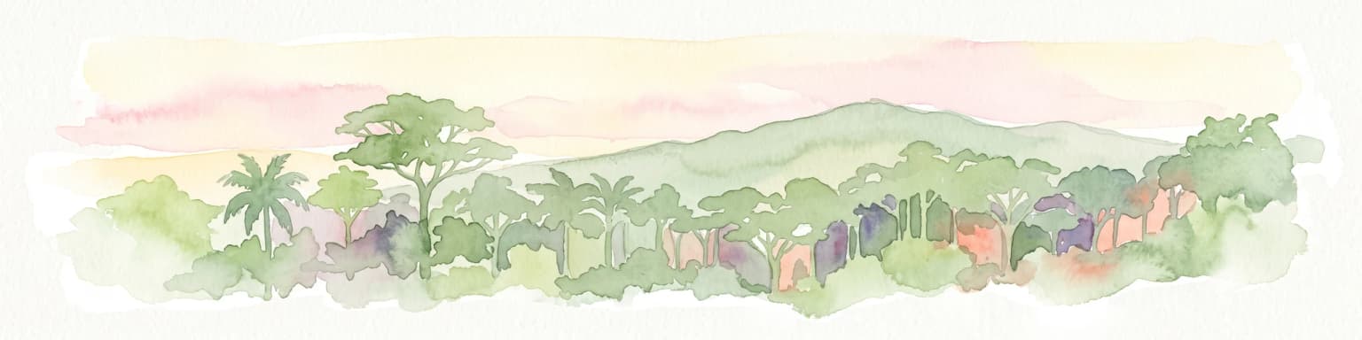
Watercolor painting of a green forested mountain landscape under a soft pastel sky.
Biosphere reserveNzerekore Region
About 113 km away#3 closest

Northwest

Massif de Ziama Biosphere Reserve: Geographic Overview and Protected Forest Boundaries

A montane forest complex in the Nzerekore Region of Guinea.

Massif de Ziama functions as a significant forested mountain chain and protected biosphere reserve in the Nzerekore Region. This geographic profile details the massif's high-elevation terrain, its connectivity with the Kpo Range in Liberia, and its foundational importance as a remnant of the Upper Guinean forest formation.

Established
1980
Protected areaNimba County
About 115 km away#4 closest

South

Gibi National Forest: Protected Tropical Forest in Nimba County, Liberia

Mapped landscape and regional geography of this key conservation area.

Gibi National Forest, a protected tropical forest spanning 607 square kilometers in Nimba County, Liberia, plays a crucial role in the preservation of the Upper Guinea forest ecosystem. Established in 1960, its landscape features tropical forest terrain near the mountainous Nimba Range. This protected area contributes significantly to regional conservation strategies, offering a vital habitat within a biodiversity hotspot that faces considerable pressure.

Area
607 km²
Established
1960
IUCN
VI
Climate
Tropical
Protected areaGbarpolu County
About 144 km away#5 closest

West

Kpelle National Forest: Protected Area Identity and Geographic Exploration

Explore Gbarpolu County's protected landscape.

Kpelle National Forest is a key protected area offering a unique glimpse into Liberia's natural geography. This atlas-driven exploration focuses on understanding its specific boundaries, regional placement within Gbarpolu County, and the broader landscape context. Discover the protected area's identity and its significance for geographic comprehension, enabling detailed map-based exploration and regional comparison.

Area
1,748 km²
Established
1961
Relief
Mountain
Climate
Tropical
National parkLiberia
About 163 km away#6 closest

West

Gola Forest National Park: Geography and Protected Boundaries in Western Liberia

Primary tropical rainforest and Upper Guinea forest landscapes

Located in Western Liberia, Gola Forest National Park encompasses a major expanse of primary tropical rainforest. This protected area acts as a cornerstone of the Upper Guinea forest ecosystem, featuring undulating terrain, river-threaded drainage systems, and dense closed-canopy vegetation that remains essential for regional biodiversity and transboundary ecological connectivity.

Area
979.75 km²
Established
2003
IUCN
II
Relief
Mixed relief
National parkLiberia
About 180 km away#7 closest

West

Gola Forest National Park: Mapping the Protected Landscapes of Liberia

A critical forest sanctuary and regional geographic landmark in West Africa.

Gola Forest National Park functions as a key protected area within Liberia, defined by its expansive forest ecosystems. This resource illuminates the park geography and spatial distribution, providing a clear understanding of its role in regional conservation and West African environmental mapping.

National parkIvory Coast
About 193 km away#8 closest

East

Mont Péko National Park: Ivory Coast National Park with Mapped Boundaries

Explore its protected landscape and regional geography.

Delve into Mont Péko National Park, a designated national park within Ivory Coast, to understand its unique protected landscape. This entry facilitates detailed atlas exploration, focusing on its geographic placement, mapped boundaries, and contribution to the regional natural terrain. Discover the essence of this protected area through its mapped geography and landscape identity.

Area
340 km²
Established
1968
IUCN
II
Relief
Mountain
National parkIvory Coast
About 201 km away#9 closest

East

Mont Sângbé National Park National Park: Ivory Coast Protected Area Geography and Map Exploration

Explore the mapped natural landscape of Mont Sângbé National Park.

Mont Sângbé National Park is a protected national park offering a unique geographic perspective within Ivory Coast. This entry facilitates exploration of its mapped boundaries and regional landscape context, contributing to a broader understanding of protected areas in West Africa through structured atlas data. Discover the essential geographic elements that define this conservation landscape.

Area
950 km²
Established
1976
IUCN
II
Relief
Mountain
Protected areaLiberia
About 205 km away#10 closest

West

Gola National Forest Protected Area: Geographic Identity and Atlas Exploration

Liberia's protected landscape and mapped natural terrain.

Gola National Forest represents a vital protected area within Liberia, offering a distinct geographic identity for atlas-based exploration. This entry focuses on understanding its mapped boundaries and its significance as a protected landscape. Delve into the regional geography surrounding Gola National Forest to appreciate its natural context and its place within the broader conservation efforts of West Africa, presented with clear geographic and mapped data.

Area
2,069.9 km²
Established
1960
Climate
Tropical
Scope
Terrestrial
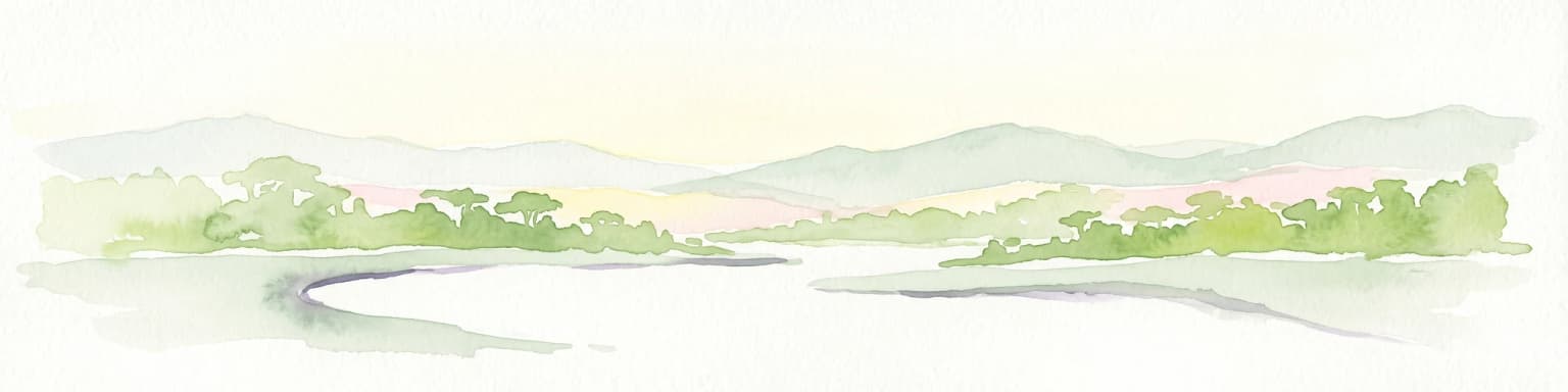
A watercolor painting depicting a soft-focus landscape with rolling green hills in the distance and a band of trees in the middle ground.
National parkIvory Coast
About 216 km away#11 closest

Southeast

Taï National Park: A Primary Rainforest Protected Area in Ivory Coast

Explore mapped boundaries and critical primate habitats in West Africa.

Taï National Park in Ivory Coast stands as a monumental protected landscape, comprising the largest contiguous area of primary rainforest remaining in West Africa. Its designation as a national park highlights its critical role in preserving biodiversity and unique geographic features. Users exploring this destination can delve into its mapped terrain, understand its regional landscape context within Ivory Coast, and appreciate its significance as a vital habitat for endangered species and an integral part of the Upper Guinean forest ecosystem.

Area
3,300 km²
Established
1972
IUCN
II
Relief
Upland
National parkEastern Province
About 217 km away#12 closest

West

Gola Rainforest National Park

Explore mapped boundaries and biodiversity in Eastern Province's vast tropical rainforest.

Gola Rainforest National Park, in Sierra Leone. Landscapes: forests.

Area
710.7 km²
Established
2010
IUCN
II
Relief
Lowland
National parkSinoe County
About 222 km away#13 closest

South

Sapo National Park: Explore Its Protected Landscape and Geographic Identity in Sinoe County

Discover mapped park boundaries and regional context.

Delve into the protected landscape of Sapo National Park, a key national park located in Sinoe County, Liberia. This page provides essential context for understanding its geographic setting, mapped park boundaries, and its significance as a protected natural area. It serves as a foundational entry for exploring Liberia's protected lands within the broader atlas, focusing on landscape identity and regional geographic features.

Area
1,804 km²
Established
1983
IUCN
II
Relief
Mixed relief
National parkGrand Gedeh County
About 250 km away#14 closest

Southeast

Grebo-Krahn National Park Protected Landscape and Geographic Atlas

Southeastern Liberia's vast Upper Guinean forest reserve

Spanning significant portions of Grand Gedeh and River Gee counties, Grebo-Krahn National Park represents a critical, near-continuous rainforest habitat. This protected area provides a look at lowland forest geography, riverine networks, and the high-canopy wilderness that remains a key biodiversity stronghold for the Upper Guinea region.

Area
961.499 km²
Established
2017
Relief
Lowland
Climate
Tropical
Protected areaLiberia
About 250 km away#15 closest

Southeast

Grebo National Forest: Protected Area Map and Regional Geography Exploration

Discover mapped boundaries and landscape context in Liberia.

Grebo National Forest is a designated protected area contributing to the Guinean forest ecosystem of Liberia and West Africa. This detail page provides an atlas-centered view, emphasizing the park's geographic placement, its mapped protected boundaries, and its significance within the broader regional landscape. Users can explore the specific terrain and geographic context that define Grebo National Forest as a conservation area.

IUCN
VI
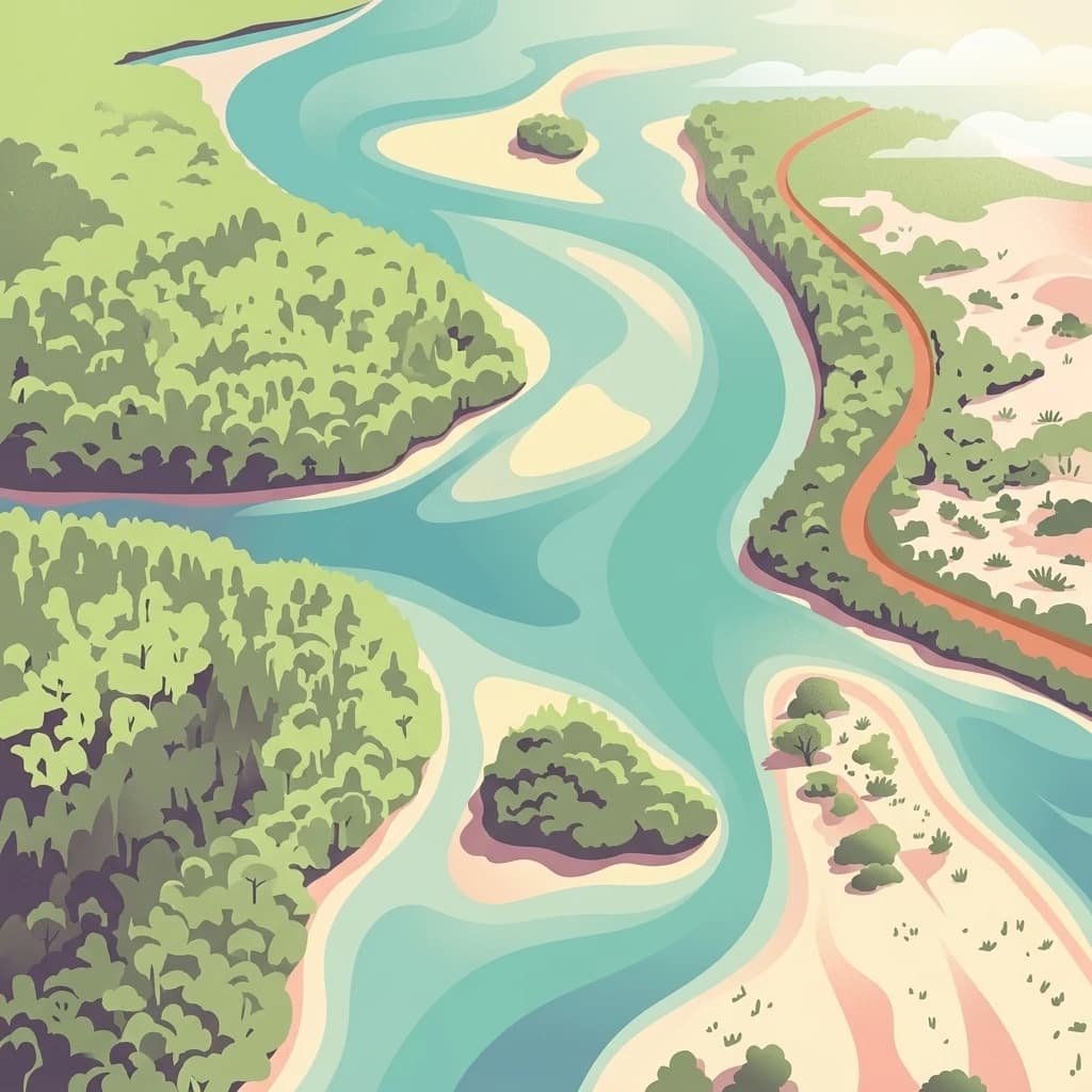
A stylized aerial illustration showing a turquoise tidal lagoon winding through green forested islands and sandy banks.
Nature reserveGrand Cape Mount County
About 263 km away#16 closest

West

Lake Piso Nature Reserve in Grand Cape Mount County: Protected Landscape Atlas

Coastal lagoon geography and wetland habitat mapping.

Lake Piso functions as a vital coastal nature reserve in Liberia, spanning roughly 103 square kilometers of brackish water, islands, and tidal forest. This protected area serves as an essential geographic anchor in Grand Cape Mount County, offering a complex terrain of mangrove ecosystems and river-fed channels that support significant biodiversity.

Area
103 km²
Established
1999
Relief
Lowland
Scope
Terrestrial
A minimalist watercolor painting depicting a soft green savanna landscape with scattered trees, rolling hills, and a central waterway, isolated on a white background.
National parkSassandra-Marahoué District
About 325 km away#17 closest

East

Marahoué National Park: Geographic and Protected Landscape Analysis in Central Ivory Coast

Examining the ecological terrain within the Sassandra-Marahoué District

Marahoué National Park occupies a transitional zone where forest remnants meet savanna grasslands in the heart of Ivory Coast. This analysis explores the park's geographic boundaries along the Marahoué River and the shifting habitats that continue to sustain a notable variety of bird species within this protected district.

Area
1,000 km²
Established
1968
IUCN
II
Relief
Upland
Distance methodology

Geographic measurements, not driving distances

How nearby park distances are calculated

Distances use park boundaries whenever the available geometry allows it. When one or both boundaries are missing, the mapped park locations provide a clearly labelled estimate. Every value represents straight-line geographic separation and does not use roads or routing.

Boundary distance

Calculated between the nearest points of both park boundaries.

Location-to-boundary estimate

Estimated from one mapped park location to the nearest boundary of the other park.

Mapped-location estimate

Estimated between the mapped locations of both parks.

MoriAtlas Explorer

Discover the Protected Landscape of Réserve forestière de Diécké

Navigate the dense evergreen canopy and hilly terrain of this significant Guinean nature reserve. MoriAtlas provides a structured look at its protected zones, rivers, and geographical footprint, offering deep insight into one of the region's last remaining large lowland forest blocks.