North
Daisen-Oki National Park
Mapped geography and protected land context.
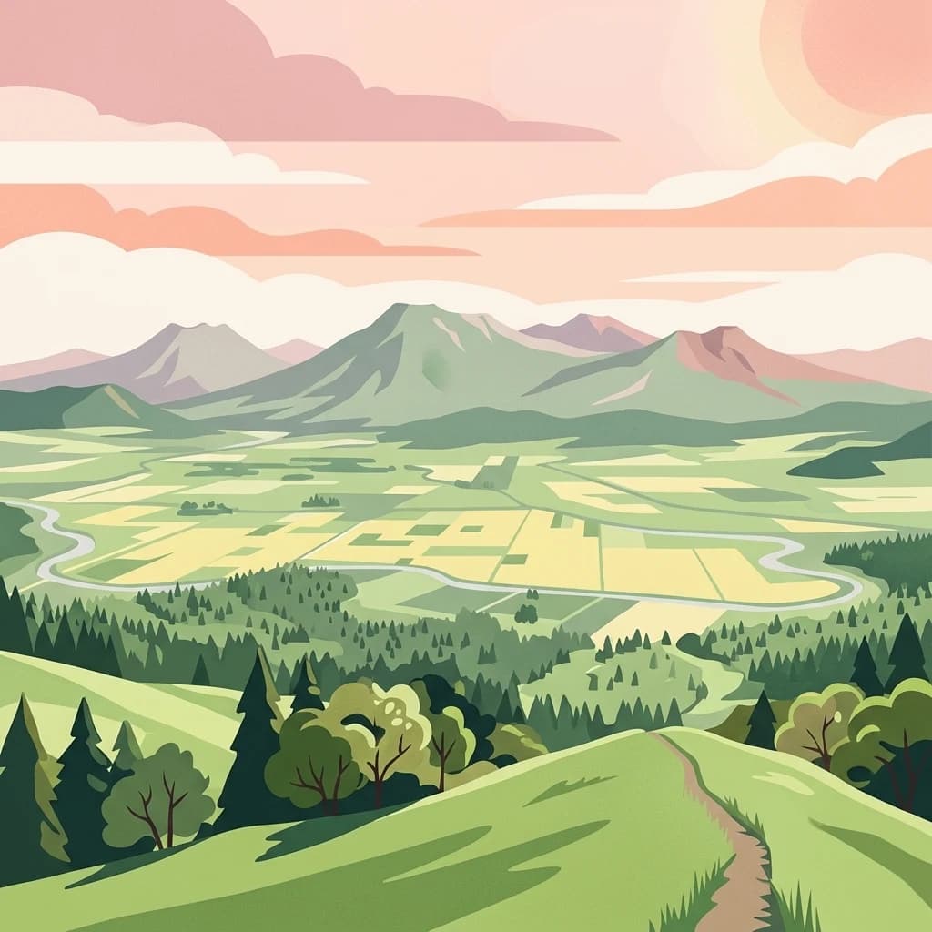
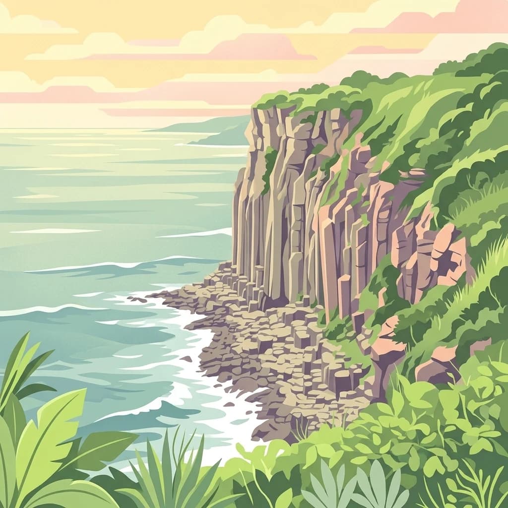
Daisen-Oki National Park, in Chūgoku region, Japan. Landscapes: mountains, cliffs, and coasts.
- Area
- 694.105 km²
- Established
- 1936
- IUCN
- II
- Visitors
- 9.3M annual
Geographic analysis of surrounding natural regions and protected area boundaries
Examine the regional distribution of protected lands and marine environments located in the vicinity of Setonaikai National Park. This geographic overview highlights neighboring natural areas and diverse coastal terrains to provide a broader context for the Seto Inland Sea environment. Discover how these protected landscapes relate spatially across the main islands of Japan.

Japan's largest national park encompassing the scenic Seto Inland Sea archipelago
Setonaikai National Park is Japan largest national park, established in 1934 as the country first national park designation. The park protects extensive areas of the Seto Inland Sea, a semi-enclosed sea bordered by ten Japanese prefectures on the main islands of Honshu and Shikoku. This unique marine protected area encompasses approximately 3,000 islands known collectively as the Setouchi Islands, creating one of Japan most distinctive coastal landscapes. The park is characterized by its sheltered sea environment, interconnected island chains, and a blend of natural beauty with centuries of cultural heritage. Itsukushima, famous for its floating torii gate, lies within the park boundaries and represents one of Japan most recognizable sacred sites. The park designation covers only a small portion of the total Inland Sea area, with much of the broader region remaining heavily industrialized.
See the ranked park cluster in its geographic setting
Distance-ranked collection and regional park geography comparisons

North
Mapped geography and protected land context.
Daisen-Oki National Park, in Chūgoku region, Japan. Landscapes: mountains, cliffs, and coasts.

South
Explore the mapped geography and protected area context.
Delve into the protected landscape identity of Ashizuri-Uwakai National Park, a key national park located in Japan. This page provides essential context for understanding its mapped boundaries, its geographic placement within the Japanese archipelago, and its role as a designated protected area. It is designed to offer a structured view of the park's natural terrain and its significance for regional atlas exploration, serving as a gateway to detailed landscape context.

Southwest
Mapped boundaries and regional geographic context for this national park.
Delve into the protected landscape of Aso-Kujū National Park, situated within the geographic region of Ōita Prefecture. This page provides detailed insight into the park's mapped terrain, its designation as a national park, and its contribution to the atlas of protected areas. Understand the park's landscape context and its significance as a conserved natural area.

Northeast
Tottori Prefecture National Park Landscape Context
Sanin Kaigan National Park is a key protected area offering detailed insights into Japan's natural landscapes. As a designated national park situated in Tottori Prefecture, it provides a rich subject for geographic discovery. This park's mapped boundaries and its integration into the regional geography of Tottori Prefecture are central to understanding its protected landscape character. MoriAtlas facilitates a structured exploration of Sanin Kaigan National Park, emphasizing its atlas-relevant geographic attributes and its identity as a conservation area.

East
Explore mapped park boundaries, gorges, and pilgrimage routes in Kansai.
Yoshino-Kumano National Park, a significant national park in Japan's Kansai region, invites exploration of its protected landscapes, which are deeply intertwined with spiritual heritage. Discover the park's rugged mountain terrain, ancient cypress and cedar forests, dramatic gorges like Dorokyō Gorge, and iconic coastal areas. This park is a vital entry for understanding Japan's confluence of natural geography and cultural pilgrimage, offering rich context for mapped landscape discovery.

East
Mapped protected landscapes and natural terrain context.
Ise-Shima National Park, in Mie Prefecture, Japan.

Southwest
Explore Nagasaki Prefecture's Protected Landscape
Unzen-Amakusa National Park represents a significant protected area within Japan's geography, characterized by the imposing presence of Mount Unzen and the distinct maritime environment of the Amakusa islands. This national park offers an opportunity to study volcanic landscapes, coastal formations, and the rich cultural history intertwined with its natural setting. Understanding its mapped boundaries and geographic context provides valuable insight into Japan's protected lands and regional landscape diversity.

Southwest
A protected landscape within Japan's diverse terrain.
Kirishima-Kinkowan National Park represents a distinct protected area within Japan, offering critical insights for geographic exploration. This page details the park's specific mapped boundaries and its contribution to the regional landscape. Understanding this national park provides a structured entry point for exploring Japan's protected natural areas and their unique geographical characteristics through an atlas lens.

Northeast
Mapped alpine terrain and volcanic geography for protected area discovery.
Hakusan National Park offers a unique exploration of Japan's sacred mountain heritage and alpine natural beauty. This protected landscape, centered on Mount Haku, features distinct volcanic terrain, crater lakes, and exceptional alpine flora. Users can explore the park's mapped boundaries, understand its place within Ishikawa Prefecture's geography, and appreciate its role as a significant UNESCO Biosphere Reserve for detailed atlas-based discovery.

Northwest
Mapped boundaries and regional geographic context.
Gyeongju National Park serves as a significant protected area within North Gyeongsang Province, offering a distinct national park identity. This entry focuses on its geographical significance, detailing its mapped boundaries and providing essential context for atlas exploration. Understand how this protected landscape fits within the broader regional geography and discover its place in the structured mapping of South Korea's natural heritage.

Northwest
Mapped terrain, park boundaries, and natural landscapes.
Juwangsan National Park is a protected natural area situated within South Korea's Taebaek mountain range, renowned for its steep valleys, waterfalls, and dense forests. This park offers a rich landscape context, showcasing dramatic ridgelines and providing a significant example of South Korea's protected mountain terrain. Discover its geographic placement, mapped protected boundaries, and the unique natural and cultural elements that define this national park.

East
Discover its dramatic peaks and vital river headwaters.
Minami Alps National Park, in Chūbu region, Japan. Landscapes: mountains, forests, and rivers.

West
Explore Nagasaki Prefecture's protected natural landscapes.
Delve into the detailed geographic information and protected area context of Saikai National Park. As a national park situated in Nagasaki Prefecture, it represents a key area for understanding Japan's regional geography and its network of protected lands. This entry facilitates atlas-based discovery of the park's boundaries, its terrain, and its unique role within the mapped landscape of Kyushu.

Southwest
Discover the mapped boundaries and protected area geography.
Yakushima National Park, situated in Kagoshima Prefecture, is a prime example of protected island geography, renowned for its ancient yakusugi cedar trees and dramatic mountainous terrain. The park's protected status covers over 32,000 hectares, featuring peaks over 1,900 meters and significant biodiversity. This atlas-focused entry helps users grasp the park's unique landscape context, its position within Japan's protected areas, and the essence of its natural environment for geographic exploration.

East
Explore volcanic terrain, hot springs, islands, and Mount Fuji's iconic protected boundaries.
Fuji-Hakone-Izu National Park, in Japan. Landscapes: mountains, lakes, and rivers.

Northeast
Rugged peaks, alpine valleys, and mapped geography.
Chūbu-Sangaku National Park, in Chūbu region, Japan. Landscapes: mountains and rivers.

West
Explore mapped protected area boundaries and natural terrain.
As a designated national park in South Korea, Hallyeohaesang National Park offers a distinct geographic profile crucial for atlas exploration. This entry focuses on its protected landscape features, mapped territorial extent, and regional context within the Republic of Korea. Understand the park's specific geographical markers and its significance as a mapped protected area.

West
Mapped landscape context and regional geography.
Delve into the protected landscape of Dadohaehaesang National Park, a significant national park located in South Korea. This entry provides critical geographic information, detailing the park's mapped boundaries and its place within the broader regional terrain. It serves as an essential resource for understanding the park's protected status and its unique natural features for those exploring national parks and protected areas within an atlas framework.

Northwest
Discover Protected Landscape and Regional Terrain
Gayasan National Park presents a distinct protected-area entity within South Gyeongsang Province, serving as a crucial point for atlas-driven geographic exploration. As a designated national park in South Korea, it offers insights into its specific mapped boundaries and the surrounding natural terrain. Understanding this park's role within the regional geography provides a foundational element for comprehending broader landscape patterns and protected land distribution across the country.

Northeast
Explore the geographic identity of this national park.
Discover Chichibu-Tama-Kai National Park through its protected landscape features and geographic setting. This page provides detailed atlas context, focusing on the park's mapped boundaries and its contribution to the regional geography of Saitama Prefecture. Understand the unique character and structural significance of this national park for comprehensive geographic discovery.
Geographic measurements, not driving distances
Calculated between the nearest points of both park boundaries.
Estimated from one mapped park location to the nearest boundary of the other park.
Estimated between the mapped locations of both parks.
Delve deeper into the unique protected landscape of Setonaikai National Park, understanding its complex island geography and its significance as Japan's largest marine national park. Explore the detailed maps and geographic context available for this extraordinary coastal environment, revealing the interplay between natural beauty and cultural heritage across the Seto Inland Sea region.