Southeast
Lake Ohrid
A tectonic mountain lake system in North Macedonia
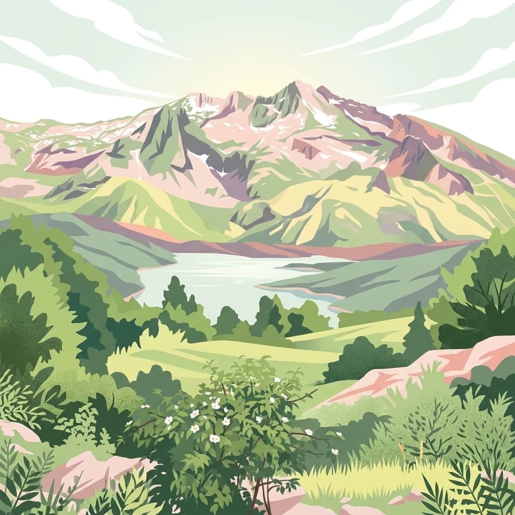
Lake Ohrid, in North Macedonia. Landscapes: mountains, cliffs, and forests.
- Area
- 358 km²
- Relief
- Mixed relief
- Climate
- Mediterranean
- Access
- Easy access
Regional landscape patterns and mapped protected area distribution for geographic exploration
Identify protected lands and natural wilderness areas located within the proximity of Shebenik National Park. This geographic overview highlights neighboring parks to help visualize regional terrain, environmental boundaries, and the distribution of protected landscapes across the surrounding mountainous topography.

Albania's rugged alpine wilderness with glacial lakes and critical Balkan lynx habitat
Shebenik National Park is a protected mountain landscape in eastern Albania, spanning approximately 34,500 hectares along the border with North Macedonia. The park encompasses the connected massifs of Shebenik and Jabllanica, rising from around 300 meters to over 2,200 meters above sea level. Characterized by dramatic glacial valleys, 14 glacial lakes situated between 1,500 and 1,900 meters elevation, and extensive forests of beech, fir, pine, and oak, the park represents one of Albania's most ecologically significant wilderness areas. It serves as a crucial habitat for endangered species including the critically endangered Balkan lynx, brown bear, and gray wolf, making it internationally important for conservation. The park was established in May 2008 and is managed by the National Agency of Protected Areas, representing one of Albania's newest and second-largest national parks.

See the ranked park cluster in its geographic setting
Geographic proximity, regional separation, and comparative environmental profiles around Shebenik National Park

Southeast
A tectonic mountain lake system in North Macedonia
Lake Ohrid, in North Macedonia. Landscapes: mountains, cliffs, and forests.

South
A protected mosaic of Mediterranean woodlands and Pindus foothills
Spanning roughly 22 square kilometers near Pogradec, the Guri i Nikës-Lenie-Valamarë Protected Landscape protects a diverse array of forested slopes and freshwater habitats. This essential Balkan biological corridor provides a detailed look at the transition between dense woodland and scrub communities within the Pindus mountain system, highlighting its role as a key habitat for large carnivore populations.

Southeast
Explore the geography and mapped boundaries of this vital national park.
Prespa National Park, located in Korçë County, Albania, is a protected area characterized by its significant high-altitude tectonic lakes, dramatic mountain landscapes, and vital wetland habitats. This entry provides a structured atlas-style overview of the park's geographic identity, its protected landscape features, and its ecological importance, serving as a key point of reference for understanding this unique Balkan region.

North
Mapped geography of Alpine peaks, gorges, and unique endemic species.
Mavrovo National Park, in North Macedonia. Landscapes: mountains, valleys, and plateaus.

Northwest
A diverse nature reserve in the heart of the Albanian highlands
This protected area features a unique mosaic of karst landscapes, including the distinctive Mali me Gropa plateau, alongside deep canyons and glacial features. It provides essential habitat for large carnivores and represents a vital ecological link within the mountain terrain of central Albania, offering a structured look at the region's vertical landscape zonation and natural monuments.

East
Explore unique glacial features and endemic forests within Municipality of Bitola.
Pelister National Park, a pioneering protected area in North Macedonia, offers a rich tapestry of alpine geography and unique geological formations. This page provides detailed information on the park's landscape, including its dramatic mountain massif within Municipality of Bitola, the rare Macedonian pine forests, the striking 'stone rivers' formed by ancient glacial processes, and the serene Pelister Eyes glacial lakes. Discover the park's mapped boundaries and its significance as a conservation heritage site within the Balkan Peninsula.

Southwest
Explore Albania's dramatic mountain geography and protected areas.
Tomorr Mountain National Park offers a unique exploration of southern Albania's dramatic limestone anticline. Dominated by the sacred Mount Tomorr and featuring the spectacular Osum Canyon, this national park provides insight into karst terrain, old-growth forests, and significant biodiversity. Discover its mapped boundaries and regional geographic context within the Pindus Mountains for structured atlas exploration.

Northwest
Explore the mapped terrain and diverse ecosystems of this significant national park.
Dajti Mountain National Park is a prime example of a protected mountain landscape central to Albania's geography. Situated near Tirana, its rugged karst topography, steep limestone ridges, and varied elevation create distinct ecological zones. This atlas-focused entry details the park's terrain, notable geological features like Pellumbas Cave, and its role as a significant protected area offering rich mapped landscape context.

Southeast
A Ramsar wetland reserve and transboundary protected area
Prespa National Park encompasses 32,700 hectares of diverse habitats, from the shallow waters of Small Prespa Lake to the surrounding forested uplands. This protected area acts as a vital sanctuary for migratory bird species and endemic plants, offering a rich look at the ecological interplay between water, floodplains, and mountain terrain in northern Greece.

Northwest
Highland pine forests and freshwater corridors in Albania
Shtamë Pass Nature Park sits within the central Albanian mountains, providing a critical ecological link between coastal-inland gateway regions. The area protects a complex mosaic of alpine terrain, including clear mountain lakes, cold freshwater springs, and dense black pine forests that shelter brown bears and wolves. This protected zone offers a comprehensive view of regional highland geography and topography through its distinct mountain pass corridor.

North
Explore glacial lakes, high peaks, and critical Balkan lynx habitat.
Šar Planina National Park is an expansive protected area in North Macedonia, defined by its striking alpine terrain and significant ecological value. The park safeguards a landscape featuring approximately 220 peaks over 2,000 meters and 29 permanent glacial lakes, known as 'Šar's Eyes.' This national park serves as a vital refuge for endangered wildlife, including the Balkan lynx, and offers a unique geographic context for understanding mountain wilderness and protected land distribution in the Balkan region. Its mapped boundaries encompass a rich biodiversity and a landscape shaped by glacial and fluvial processes.

North
A critical protected landscape featuring Albania's highest mountain peak and glacial basins
Korab-Koritnik Nature Park represents a major expanse of high-altitude wilderness, stretching across the rugged borderlands of Dibër County. The protected landscape is characterized by diverse terrain, including dramatic rock walls, deep glacial valleys, and extensive coniferous forests. As a central component of the European Green Belt, the park serves as a vital geographic anchor for studying mountain ecosystems and protected-area connectivity in the Balkan region.

Southeast
Mapping Albania's protected Silver fir woodland ecosystems
Explore the structured geography of the Fir of Drenovë-Sinicë Protected Landscape, a diverse expanse in Korçë County defined by its ancient Silver fir stands and karst cave systems. This area showcases a varied landscape of rocky monoliths, mountain lakes, and tectonic valleys that serve as a vital ecological record for the southeastern Albanian mountains.

North
Dibër County's alpine protected area with unique glacial lakes.
Delve into the detailed geographic context and mapped protected area of Lurë-Dejë Mountain National Park, an essential natural landscape in Albania's Dibër County. This park is renowned for its rare chain of twelve glacial lakes, situated at high elevations amidst dramatic alpine terrain. Its protected status ensures the preservation of significant old-growth forest ecosystems, including the critically endangered Balkan pine, contributing to its recognition as an Important Bird and Plant Area. Explore the park's distinctive terrain, from its soaring mountain peaks to its unique alpine meadows, all within a comprehensive geographic atlas framework.

Southwest
Regional protected area within the Balkan forest ecoregion
Bogovë Nature Park protects 330 hectares of diverse Mediterranean forest and dramatic limestone ravines. Central to its identity are the cascading waterfalls and karst topography that characterize this portion of the Pindus Mountains mixed forests ecoregion in southern Albania, providing a significant example of Balkan woodland preservation.

Northwest
Analyzing the reservoir and river valley landscapes of central Albania
Lake Ulza Nature Park represents a significant protected mosaic where the Mat River creates a corridor of reservoirs, oak forests, and stony uplands. This overview examines the park geography, offering a structured look at how water bodies and mountainous terrain converge to form a unique inland habitat in Dibër County. Explore the physical relief and environmental boundaries that define this essential Albanian natural landmark.

West
Mapping Albania's largest Mediterranean lagoon and its vital bird sanctuaries.
Divjakë-Karavasta National Park, in Albania. Landscapes: wetlands, coasts, and beaches.

South
Explore a premier protected landscape in Gjirokastër County, Albania.
Fir of Hotovë-Dangëlli National Park stands as a monumental protected area, celebrated for its exceptional old-growth Hotova Fir forests, which are a rare Mediterranean plant relic. This national park in Gjirokastër County offers a detailed look at a vast mountainous terrain, featuring dramatic canyons like Lengarica Canyon, and serving as a critical habitat for diverse wildlife. MoriAtlas provides structured geographic context for this significant landscape, highlighting its mapped boundaries and role as a key component of regional protected area networks.

Northwest
Protected lagoon and forest landscapes in Lezhë County, Albania
Examine the protected territory of Kunë-Vain-Talë-Patok-Fushëkuqe-Ishëm Nature Park, defined by its dynamic lagoon systems, alluvial forests, and coastal dunes along the Adriatic shore. This area provides deep insight into deltaic hydrology and the preservation of Mediterranean woodland habitats within a regional geographic context.

South
Mapping dynamic canyons and vital river ecosystems in Gjirokastër County.
Vjosa Wild River National Park is recognized as Europe's first Wild River National Park, a groundbreaking designation protecting an entire river system from source to sea. This protected area in Gjirokastër County preserves remarkable topography, including dramatic canyons, natural rapids, and meandering islands, all shaped by the free flow of the Vjosa River and its tributaries. Explore the mapped boundaries and unique landscape context of this significant biodiversity hotspot, offering a crucial case study for river conservation and atlas discovery.
Geographic measurements, not driving distances
Calculated between the nearest points of both park boundaries.
Estimated from one mapped park location to the nearest boundary of the other park.
Estimated between the mapped locations of both parks.
Delve deeper into the mapped geography and natural landscape of Shebenik National Park. Understanding its terrain, protected boundaries, and regional significance is key to appreciating its place within Albania's atlas of natural areas. Use MoriAtlas to further explore this park's specific features and its connection to the broader protected lands of Elbasan County and the Balkan Peninsula.