West
Alpine National Park
Mapping significant alpine, subalpine, and mountain wilderness landscapes.
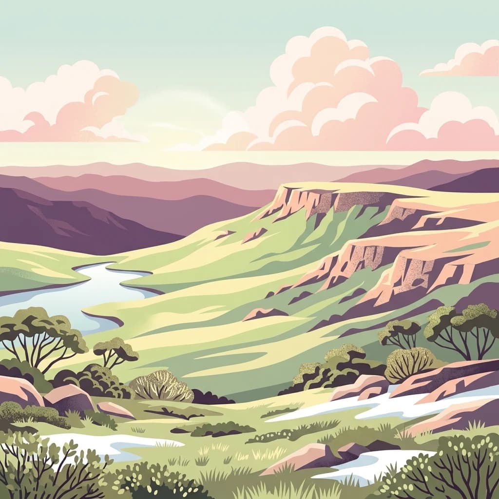
Alpine National Park, in Australia. Landscapes: mountains, forests, and woodlands.
- Area
- 6,474 km²
- Established
- 1989
- IUCN
- II
- Relief
- Mountain
Regional map analysis of protected terrain surrounding this alpine wilderness area
Discover the network of protected areas and national parks situated in the geographic vicinity of Snowy River National Park. This regional atlas maps the distribution of wilderness zones and rugged mountain terrain across East Gippsland, providing a clear perspective on the surrounding landscape and protected land clusters in northeastern Victoria.

Victoria's alpine wilderness protecting one of the state's deepest gorges and critical habitat for endangered marsupials
Snowy River National Park is a vast wilderness protected area spanning the Alpine and East Gippsland regions in northeastern Victoria, Australia. Covering approximately 98,700 hectares, the park encompasses rugged mountain terrain, deep river gorges, and diverse ecosystems that support over 250 native species. Established in 1979 after a proposal first submitted in 1935, the park represents one of Victoria's most significant conservation areas and was inscribed on the Australian National Heritage List in 2008 as part of the broader Australian Alps National Parks and Reserves. The park lies approximately 390 kilometres northeast of Melbourne and 350 kilometres southwest of Canberra, situated south of the Black-Allan Line that marks the border between Victoria and New South Wales.
See the ranked park cluster in its geographic setting
Distance-ranked conservation areas and regional park geography comparisons

West
Mapping significant alpine, subalpine, and mountain wilderness landscapes.
Alpine National Park, in Australia. Landscapes: mountains, forests, and woodlands.
East
Explore the protected landscape and natural terrain of this Australian national park.
Errinundra National Park offers a unique window into Australia's protected natural areas. This detailed view focuses on its role as a national park, providing structured information on its geographic footprint, mapped terrain, and position within the broader Australian landscape. Understand Errinundra National Park as a distinct entity for atlas-based discovery, focusing on its protected land characteristics and geographic context without visitor logistics.

North
Discover unique glacial landscapes and geographic context in New South Wales.
Kosciuszko National Park, in New South Wales, Australia. Landscapes: mountains, valleys, and lakes.
Southeast
Explore mapped boundaries and forested terrain within this early national park.
Lind National Park, established in 1925, is a key protected area in Victoria, Australia, preserving the characteristic forested landscapes of East Gippsland. Spanning 1,370 hectares, it offers a tangible connection to the state's early conservation efforts. The park's terrain is defined by temperate forest, characteristic of eastern Victoria's undulating geography, providing a clear example of protected woodland adjacent to the Princes Highway corridor. Its historical designation underscores its importance in the region's network of natural reserves and mapped landscapes.

East
Explore its transboundary wilderness role and tall forest terrain.
Coopracambra National Park stands as a significant protected landscape in Victoria, Australia, renowned for its rugged mountainous terrain and extensive tall eucalypt forests. This remote national park serves as the crucial Victorian component of a vast transboundary wilderness corridor, linking protected areas across the state border into New South Wales. Its geographic identity is shaped by prominent peaks such as Mount Coopracambra and the unique Black-Allan Line boundary, offering users a detailed atlas view of its conservation significance and natural features within south-eastern Australia.
East
Mapped landscape and protected area geography.
This canonical MoriAtlas entry for South East Forests National Park provides essential geographic context and details about its status as a national park. Understand the mapped boundaries of this protected landscape within New South Wales, supporting discovery through its regional setting and natural terrain. The focus remains on atlas-style exploration of its geographic identity and conservation significance, devoid of visitor logistics or travel advice.

East
Explore Victoria's protected wilderness, mapped coastlines, and diverse ecosystems.
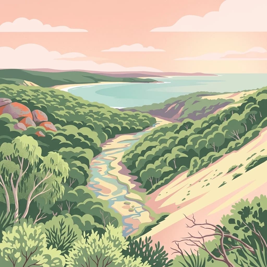
Croajingolong National Park is a key protected area in Victoria, Australia, recognized globally as a UNESCO World Biosphere Reserve. This vast national park offers a detailed look at coastal wilderness, characterized by its extensive sandy beaches, rugged rocky headlands, dynamic dunes, and rich heathland ecosystems. Its position along the Tasman Sea coastline provides significant geographic context, forming a vital part of southeastern Australia's protected landscapes and offering unique opportunities for atlas-driven exploration of its mapped terrain and biodiversity.

Southeast
Explore a unique biogeographic boundary and diverse rainforest ecosystem.
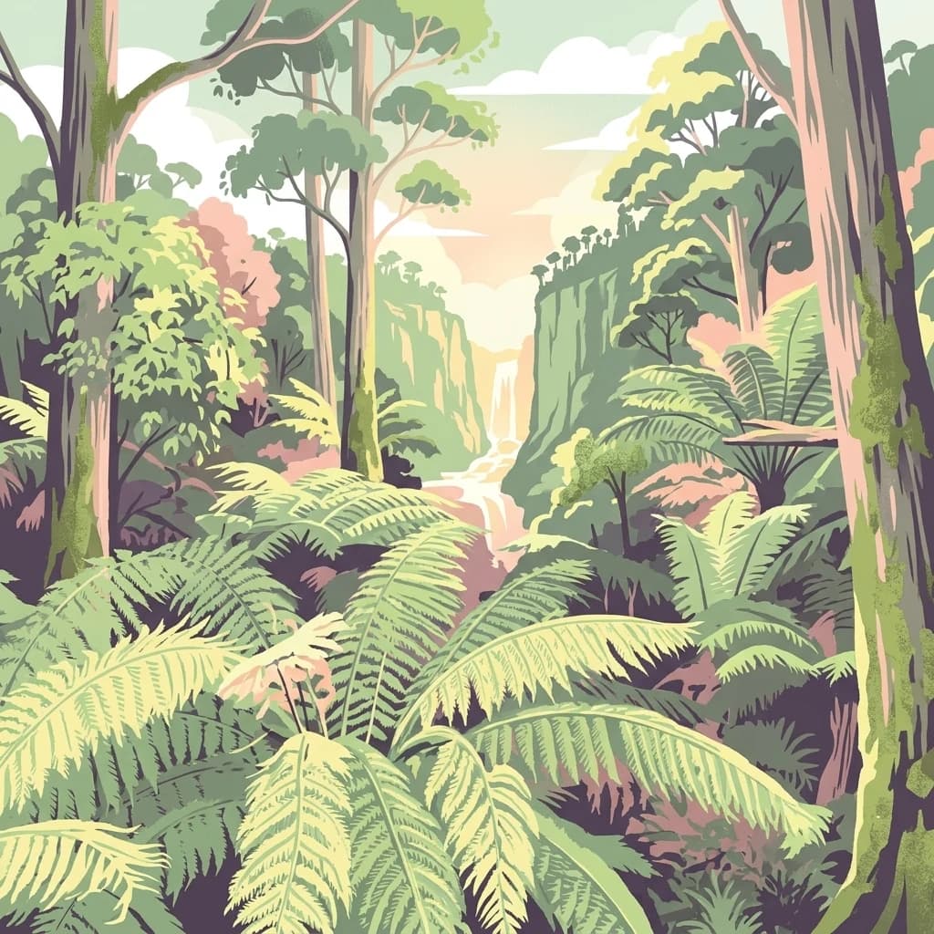
Alfred National Park stands as a vital protected area, renowned for harboring Australia's southernmost warm temperate rainforest. Located in Victoria's East Gippsland region, this national park is a significant ecological meeting point, where plant communities from subtropical, temperate, and arid zones converge. The park's mapped landscape features a dense, jungle-like environment dominated by Lilly Pilly, tree ferns, and epiphytes, offering a distinct contrast to the typical eucalyptus woodlands of the area and highlighting its unique floristic character.

Southwest
Discover unique island habitats and mapped paperbark forests.
The Lakes National Park offers a unique exploration of coastal wetlands and their mapped geographic features. Situated within the Gippsland Lakes, this protected area showcases diverse island habitats and fringing paperbark forests. As a designated national park, its conservation legacy is evident in the preserved wetland systems and the ecological significance of areas like Rotamah Island, providing a distinct regional landscape for atlas discovery.
Southeast
Explore Victoria's unique transitional marine ecosystems and mapped underwater geography.
Point Hicks Marine National Park represents a crucial marine protected area within Victoria, Australia, safeguarding a unique ecological transition zone. The park's underwater geography features a dynamic interplay of rocky reefs and sandy bottoms, supporting a rich diversity of marine life where species from distinct biogeographic regions overlap. Understanding Point Hicks Marine National Park means exploring its protected marine identity, its mapped underwater landscapes, and its critical role in conserving Australia's warmer eastern marine environments.

West
A vital protected area within the Gippsland region of Australia
Located 320 kilometres east of Melbourne, Mitchell River National Park preserves a dramatic landscape of deep channels and high cliffs. This essential protected area serves as a sanctuary for unique warm-temperate rainforests, which survive within gorge environments sheltered from harsh regional winds and bushfires, representing a rare botanical occurrence in southeastern Australia.
East
Explore the geographic context of this Australian national park.
Mount Imlay National Park serves as a significant protected area within New South Wales, providing a focal point for understanding regional geography and mapped natural landscapes. As a national park, its boundaries and terrain offer valuable insights for atlas-based discovery, highlighting Australia's commitment to conserving diverse geographic entities and showcasing its role in the broader national landscape context.

Northeast
Discover its mapped terrain and diverse ecosystem geography.
Wadbilliga National Park in New South Wales is a prime example of a large, remote protected area characterized by its rugged natural terrain and diverse ecosystems. Spanning approximately 985 square kilometres, the park features dramatic geographic contrasts, from deep gorges carved by rivers like the Tuross to expansive plateaus and sheltered gullies supporting varied vegetation communities. Its designation as a national park underscores its importance for conservation and provides a unique opportunity for understanding the mapped landscape context of southeastern Australia.

East
Mapped terrain and unique erosion sites within this national park.
Delve into the protected landscape of Beowa National Park, situated in the coastal region of New South Wales. This national park showcases a varied terrain, from heathland headlands to eucalypt woodlands, with the visually dramatic Pinnacles erosion gully as a key highlight. Its geographic setting within Twofold Bay provides a compelling focus for atlas exploration of Australia's protected natural areas.
East
Coastal heath, eucalyptus forest, and regional bird habitat
Located at the southeastern edge of the Australian continent, Nadgee Nature Reserve offers a deep look at remote coastal landscapes. The area protects a mix of saltwater wetlands, dense eucalyptus forests, and significant Aboriginal cultural sites along the coast, creating a contiguous protected zone that stretches across state borders into Victorian territory.
East
Coastal terrain, sea gutters, and penguin nesting habitat
Eagles Claw Nature Reserve is a distinctive protected area on the NSW far south coast, known for its rugged shoreline of sea gutters and low cliffs. The site features dense coastal scrub dominated by bracelet honey myrtle, providing essential nesting shelter for little penguins. This atlas overview details the reserve's topography and its function as a vital coastal sanctuary.
East
Rugged coast, Southern Ocean influence, and marine conservation.
Cape Howe Marine National Park offers a protected marine environment at the remote eastern edge of Victoria, Australia. Defined by its dramatic coastal geography, the park features rocky headlands, exposed cliffs, and waters influenced by the powerful Southern Ocean. Established in 2002, this marine protected area contributes to a significant continuum of protected lands, adjacent to terrestrial national parks. Its landscape is shaped by powerful surf and coastal wilderness, providing a unique example of marine conservation where the Australian continent meets the open ocean.

Northwest
Explore its mapped boundaries and unique regional geography.
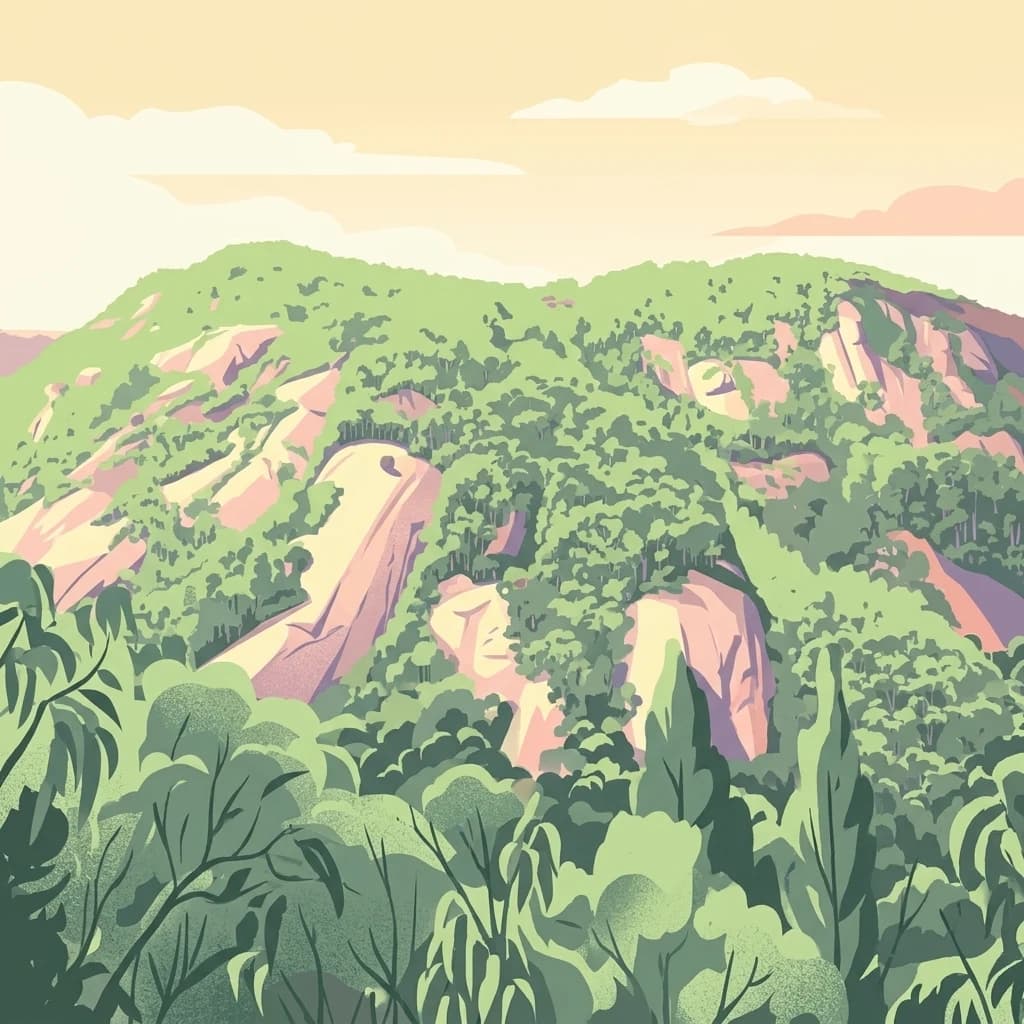
Burrowa-Pine Mountain National Park stands as a prominent protected wilderness in Victoria, Australia, renowned for its spectacular geological features. The park is dominated by the colossal Pine Mountain, a massive sandstone monolith that commands the landscape, and the elevated Mount Burrowa, offering expansive vistas across the Victorian Alps. Its mountainous terrain, characterized by rocky ridgelines and alpine forests, makes it a distinctive destination for understanding Australia's natural and geographic heritage. Discover the mapped extent and landscape character of this important national park.

Northeast
Explore mapped boundaries and regional geographic context.
Bournda National Park represents a key protected area within the state of New South Wales, Australia. This page offers focused discovery of its protected landscape identity, situated within the broader geographic framework of the region. Examine the park's mapped boundaries and understand its significance as a component of Australia's network of natural landscapes.
West
A remote wilderness reserve in the Victorian Alps highlands.
Avon Wilderness Park spans forty thousand hectares of continuous, roadless mountain forest and sub-alpine woodland. Serving as a crucial link in the Australian Alps conservation network, the reserve is characterized by steep, dissected terrain and tall eucalyptus canopy, preserved in an entirely undeveloped state without internal roads or infrastructure.
Geographic measurements, not driving distances
Calculated between the nearest points of both park boundaries.
Estimated from one mapped park location to the nearest boundary of the other park.
Estimated between the mapped locations of both parks.
Delve deeper into the protected landscape of Snowy River National Park, examining its unique geographic features and its role within the broader Australian Alps. Understanding the park's mapped terrain and its significance as a national park offers valuable insights for systematic geographic discovery and appreciating the context of protected areas across Australia.