Mori Atlas logo
Nearby park discovery

Geographic distribution of neighboring conservation areas and boreal park networks

Regional Protected Landscapes and National Parks Near Vodlozersky National Park

Trace the broader geographic footprint of protected lands adjacent to Vodlozersky National Park. This regional map perspective highlights the distribution of nearby natural landscapes and protected areas, providing a clearer view of the boreal forest terrain and conservation clusters spanning Arkhangelsk Oblast and beyond.

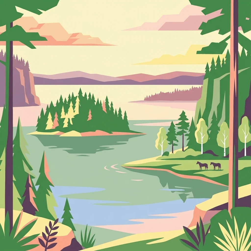
Stylized illustration showing a lake with a forested island, coniferous trees, two horses on the shore, and distant mountains.

Russia's vast taiga wilderness protecting ancient Karelian forests and Lake Vodlozero

Vodlozersky National Park

Vodlozersky National Park is a sprawling protected area in northern Russia spanning the border between Arkhangelsk Oblast and the Republic of Karelia. Established in 1991, it encompasses one of the largest tracts of intact taiga forest remaining in Europe, covering over 4,200 square kilometers of pristine boreal wilderness. The park centers around Lake Vodlozero, a significant ecological and historical landmark, along with the river basins of the Ileksa and the upper Vodla. This remote protected area represents a remarkable example of northern coniferous forest ecosystems, home to diverse flora and fauna adapted to the harsh continental climate. The park holds particular significance as one of Russia's earliest national parks and has been designated a UNESCO Biosphere Reserve since 2001.

Location
Russia
Park type
National park
Established
1991
Area
4,280 km²
Vodlozersky National Park Protected Area
Regional park map

See the ranked park cluster in its geographic setting

Nearby parks around Vodlozersky National Park

This regional map shows the same 16 nearby parks ranked below around Vodlozersky National Park. Select a ranked marker to highlight that park’s boundary where boundary data is available.
Reference park: Vodlozersky National ParkRanked nearby parkSelected boundary: Vodlozersky National Park16 nearby parks shown
16 nearby parks

Distance ranked regional park geography and surrounding protected landscapes

Parks and Protected Areas Geographically Near Vodlozersky National Park

Examine the ranked collection of protected areas situated geographically near Vodlozersky National Park by evaluating spatial separation and regional context. Comparing these surrounding territories reveals broader environmental patterns across northern landscapes without assuming identical ecological traits.
Watercolor painting showing a lake surrounded by forests with mountains in the background
National parkRussia
About 13 km away#1 closest

Southeast

Kenozersky National Park: Geography, Glacial Landscapes, and Protected Taiga Forests in Russia

Exploring the lake-studded terrain of the Arkhangelsk Oblast

Kenozersky National Park offers a profound look at the glacial geology of northern Russia. The area encompasses an integrated network of streams, wetlands, and spruce-dominated forests, providing essential habitat and reflecting centuries of human interaction with the natural terrain.

Area
1,413.54 km²
Established
1991
IUCN
II
Relief
Upland
Watercolor painting showing a river flowing through a grassy field with trees and hills in the background
National parkArkhangelsk Oblast
About 122 km away#2 closest

North

Onezhskoye Pomorye National Park: A Geographic Profile of Northern Russian Protected Lands

Tracing the coastal and boreal landscape boundaries in Arkhangelsk Oblast

Onezhskoye Pomorye National Park preserves an isolated wilderness of immense ecological importance. The territory encompasses ancient taiga forests that descend directly into the White Sea, showcasing a rare transition zone between inland boreal ecosystems and marine coastal environments. This protected area offers a look into northern Russian geography, characterized by its glaciated terrain and historic maritime heritage sites.

Area
2,016.68 km²
Established
2013
IUCN
II
Relief
Lowland
A stylized vector illustration featuring a large, balanced boulder perched on a cliff edge, surrounded by evergreen trees and a distant mountain waterfall.
Natural monumentRepublic of Karelia
About 183 km away#3 closest

West

Vottovaara National Park and Natural Monument: Mapping the West Karelian Upland

Protected quartzite massifs and glacial boulder fields in Russia

Vottovaara stands as a significant natural landmark in the Republic of Karelia, defined by its quartzite bedrock and plateau covered in glacial erratics. As a protected national park and natural monument, it represents the high-relief landscape of the West Karelian Upland, providing mapped access to a unique convergence of taiga forest and exposed geological formations.

Area
140.59 km²
Established
2023
IUCN
III
Relief
Mountain
A stylized digital illustration of a rocky hill with prominent boulders, sparse vegetation, and a background view of a distant forest.
Natural monumentRepublic of Karelia
About 183 km away#4 closest

West

Mount Vottovaara Natural Monument: Explore Protected Landscape and Geographic Context in Karelia

Mapped protected area boundaries and regional terrain in the Republic of Karelia.

Mount Vottovaara represents a significant natural monument within the Republic of Karelia, offering a focal point for structured geographic exploration. This protected landscape's mapped boundaries and its setting within the region's broader geography are key to understanding its atlas value. MoriAtlas provides the framework to examine the specific identity of Mount Vottovaara as a protected area, encouraging detailed study of its natural features and regional context.

Area
15 km²
Established
2011
IUCN
III
Relief
Mixed relief
Watercolor illustration of a landscape with trees, hills, and water
National parkVologda Oblast
About 234 km away#5 closest

South

Russky Sever National Park: Glacial Landscapes and Historical Protected Areas

Regional geography in the Vologda Oblast of Russia

Situated in the Vologda Oblast, Russky Sever National Park encompasses extensive forests, glacial hills, and riverine ecosystems. This protected area stands out for its deep connection to medieval Russian architecture, featuring preserved monasteries within a landscape shaped by long-standing agricultural and religious traditions.

Area
1,664 km²
Established
1992
IUCN
II
Relief
Highland
Watercolor illustration of a river flowing through a wetland area with grassy banks, trees, and distant hills
National parkNorth Karelia
About 263 km away#6 closest

West

Petkeljärvi National Park: Distinct Protected Landscape and Esker Formations in North Karelia

Discover Finland's unique esker ridges and boreal forests.

Petkeljärvi National Park represents a distinctive protected landscape in North Karelia, Finland, celebrated for its prominent esker formations that define its topography. The park showcases light Scots pine forests growing on sandy soils, creating an open forest character that sets it apart. Visitors can explore the mapped geography, including winding ridges, wetlands, and lake scenery, alongside preserved historical fortifications from the Continuation War, offering a rich blend of natural and cultural heritage within this compact national park.

Area
7 km²
Established
1956
IUCN
II
Visitors
17.3K annual
Watercolor illustration of a bog landscape with green trees, a body of water, and rolling hills in the background
National parkNorth Karelia
266 km away#7 closest

West

Patvinsuo National Park: Protected Landscape Geography and Map Context

National park exploration in North Karelia, Finland.

Patvinsuo National Park stands as a vital protected area within North Karelia, Finland. This page serves as an atlas entry point, detailing the park's geographic scope, mapped boundaries, and its significance as a protected landscape. Users can explore the regional context and understand the natural terrain that characterizes this important Finnish national park, facilitating structured geographic discovery.

Area
105 km²
Established
1982
IUCN
II
Visitors
18.6K annual
Watercolor illustration showing a lake with forested shores and mountains in the background
National parkRepublic of Karelia
291 km away#8 closest

West

Ladoga Skerries National Park: National Park Protected Landscape & Geography

Mapped boundaries and regional context in the Republic of Karelia.

Discover Ladoga Skerries National Park, a key protected area recognized as a national park within the Republic of Karelia. This page provides essential context for understanding its mapped boundaries, the natural terrain it encompasses, and its geographical significance within the broader regional landscape. Utilize this information for structured atlas exploration of protected natural environments, focusing on the distinct identity of Ladoga Skerries National Park.

Area
1,220 km²
Established
2017
IUCN
II
Relief
Lowland
Watercolor illustration of a landscape featuring green vegetation, rolling hills, and a body of water under a pastel sky
National parkNorth Karelia
315 km away#9 closest

West

Koli National Park

Explore mapped landscape and regional geography.

Koli National Park, in North Karelia, Finland. Landscapes: hills, valleys, and cliffs.

Area
30 km²
Established
1991
IUCN
II
Visitors
249.8K annual
A stylized, flat-design illustration showing a dirt path leading through a grassy meadow toward a small cluster of dark cabins near a lake surrounded by evergreen forests under a pastel-colored sunset sky.
National parkRepublic of Karelia
About 343 km away#10 closest

Northwest

Kalevalsky National Park: Boreal Wilderness and Protected Landscapes in the Republic of Karelia

Ancient taiga ecosystems and glacial terrain mapped.

Located near the Russian-Finnish border, Kalevalsky National Park encompasses 74,400 hectares of rare primeval boreal forest. The park offers insight into the Baltic Shield's geological history and provides a map of extensive marshlands and lake basins that define this remote Karelian region.

Area
744 km²
Established
2007
IUCN
II
Relief
Lowland
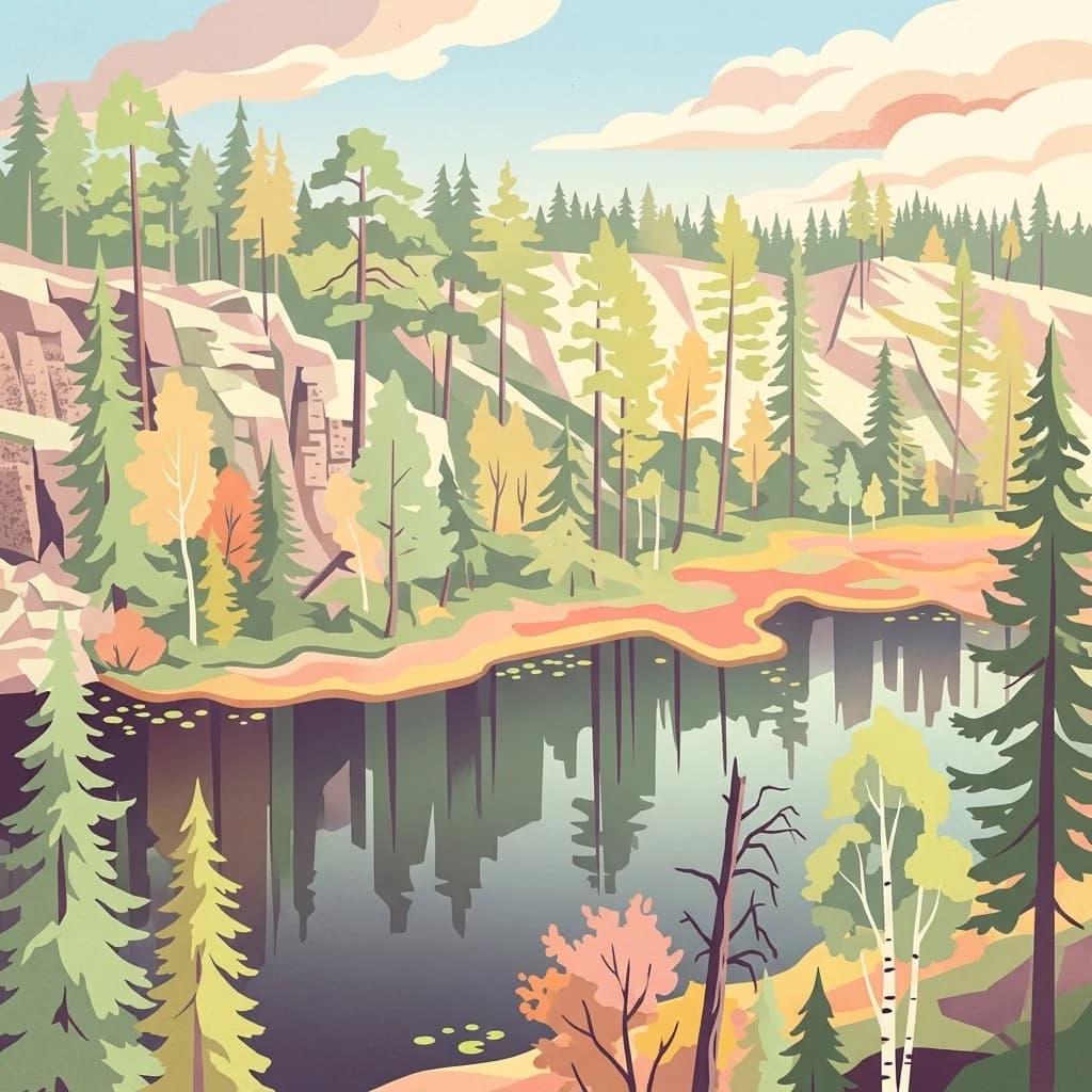
An illustrative digital artwork depicting a serene landscape with a calm forest lake, surrounded by coniferous and deciduous trees, with rocky cliffs in the background under a soft sky.
National parkKainuu
About 364 km away#11 closest

West

Hiidenportti National Park: Kainuu Protected Area and Geographic Landscape Context

Explore mapped boundaries and regional geography in eastern Finland.

This MoriAtlas entry details Hiidenportti National Park, a designated national park situated in the Kainuu region of Finland. It serves as a vital hub for understanding the protected area's mapped landscape, its specific geographic characteristics, and its position within the regional atlas of eastern Finland's natural terrain. Dive into the structured details that define Hiidenportti National Park's protected identity and its contribution to the geographic understanding of the taiga-forested regions.

Area
45 km²
Established
1982
IUCN
II
Visitors
11.3K annual
National parkEtelä-Savo
About 391 km away#12 closest

West

Kolovesi National Park: Mapped Protected Landscape in Etelä-Savo, Finland

Explore its geographic identity and mapped park boundaries.

Kolovesi National Park is a significant protected area located in the Etelä-Savo region of Finland, characterized by its presence within the Finnish lake district. This detailed page provides an atlas-centric view, emphasizing the park's mapped geographic features and its status as a protected natural landscape. Users engaging with MoriAtlas can understand Kolovesi National Park's unique landscape context and its precise location within the regional geography of southeastern Finland.

Area
61 km²
Established
1990
IUCN
II
Visitors
17.2K annual
Watercolor illustration of a landscape with lake, trees, and hills
National parkRepublic of Karelia
392 km away#13 closest

Northwest

Paanajärvi National Park: Protected Boreal Wilderness and Karelian Landscape Atlas

Mapping the old growth taiga forests and mountain terrain of northwestern Russia.

Located in the Republic of Karelia, Paanajärvi National Park is a significant protected area of boreal forest and lake ecosystems. This landscape, characterized by the Maanselkä hills and the summit of Nuorunen, offers a pristine look at the intact wilderness of northern Europe. Examine the mapped boundaries and geographic features that define this essential transboundary conservation area.

Area
1,043.71 km²
Established
1992
IUCN
II
Visitors
5K annual
Watercolor painting of a lake with trees and distant mountains under a soft sky
National parkFinland
393 km away#14 closest

Northwest

Hossa National Park: Detailed National Park and Protected Landscape Geography

Explore mapped boundaries and regional context within Finland.

Delve into the protected landscape of Hossa National Park, a designated national park in Finland. This page provides structured geographic information, focusing on its mapped boundaries and position within the country's natural terrain. Understand how Hossa National Park contributes to the atlas of protected areas in Northern Europe, offering insights into its specific landscape character and regional significance for geographic discovery.

Established
2017
IUCN
II
Scope
Terrestrial
Watercolor painting of a lake surrounded by forests with mountains in the background and a sunset sky
National parkFinland
About 399 km away#15 closest

West

Tiilikkajärvi National Park: Finland's Unique Protected Landscape with Sandy Shores and Eskers

Mapped geography of a distinctive Finnish national park.

Tiilikkajärvi National Park showcases a unique combination of natural features within Finland's protected lands. The park's core is the Tiilikkajärvi lake, almost entirely encircled by expansive sandy beaches and dramatic esker peninsulas. These glacial landforms create a striking visual contrast with the surrounding boreal forests and rare undrained aapa bogs. Explore the mapped landscape context and protected area identity of this significant Finnish natural environment.

Area
72 km²
Established
1982
IUCN
II
Visitors
26.1K annual
Watercolor illustration showing a lake with islands and forested shores, distant hills, and soft pastel colors
National parkSouth Savo
405 km away#16 closest

West

Linnansaari National Park: South Savo's Protected Landscape and Geography

Explore the mapped boundaries of this Finnish national park.

Discover Linnansaari National Park, a distinct national park located in South Savo, Finland. This page provides detailed information focused on its protected landscape identity, mapped geography, and atlas context. Understand its significance as a conservation area and how its boundaries contribute to the regional natural landscape. Explore the geographic positioning of Linnansaari National Park within South Savo, offering insights for structured map-based discovery.

Area
38 km²
Established
1956
IUCN
II
Visitors
31.6K annual
Distance methodology

Geographic measurements, not driving distances

How nearby park distances are calculated

Distances use park boundaries whenever the available geometry allows it. When one or both boundaries are missing, the mapped park locations provide a clearly labelled estimate. Every value represents straight-line geographic separation and does not use roads or routing.

Boundary distance

Calculated between the nearest points of both park boundaries.

Location-to-boundary estimate

Estimated from one mapped park location to the nearest boundary of the other park.

Mapped-location estimate

Estimated between the mapped locations of both parks.

MoriAtlas Explorer

Continue your Geographic Discovery of Vodlozersky National Park and Arkhangelsk Oblast

Deepen your understanding of Vodlozersky National Park by exploring its specific geographic attributes and its position within the Arkhangelsk Oblast protected area atlas. MoriAtlas provides the tools to map out these natural landscapes and compare their regional context, offering a structured approach to comprehending Russia's conservation efforts and geographic diversity.