
Mori Atlas logo
Country designation

Discover the geographic spread and mapped boundaries of Uganda's nationally recognized protected park areas.

Uganda National Parks: A Comprehensive Atlas of Protected Landscapes and Geography

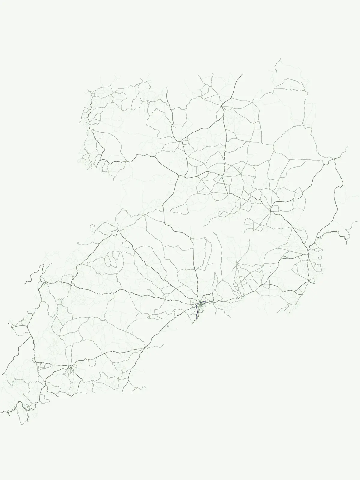
Uganda hosts a significant network of nationally recognized protected areas, with National Parks forming a core component of its conservation identity. This atlas-driven route provides a detailed look at these significant park designations across the country, highlighting their geographic distribution and mapped boundaries. Explore the natural landscapes and regional context offered by Uganda's 13 National Parks, foundational elements of its protected land system.

Uganda National Parks: A Comprehensive Atlas of Protected Landscapes and Geography

Map the diverse geography and conservation areas across Uganda's extensive network of national park designations.

Uganda's National Parks: Explore East Africa's Premier Protected Landscapes

Discover Uganda's nationally significant protected park areas, crucial for landscape conservation and biodiversity protection, encompassing sites like the Albertine Rift and UNESCO World Heritage locations. Browse the geographic spread and ecological importance of each national park to understand its role within East Africa's diverse and landlocked conservation landscape.

National park
Mapped parks13
Share of country parks100%
Largest mapped parkMurchison Falls National Park3,893 km²
Oldest mapped parkMurchison Falls National Park1,952
Parks in this designationTrace the network of Uganda's national parks, showcasing their varied habitats and conservation landscapes across the country.10 / 13
See all parks

Uganda National Parks: Atlas of Protected Areas and Geographic Distribution

Explore a comprehensive list of Uganda's national parks, providing essential details about each protected area's geography, ecosystems, and conservation significance. This filtered view offers a unique opportunity to compare park characteristics and understand their distribution within the country's distinct ecological zones.

National parkKanungu DistrictMountain

Bwindi Impenetrable National Park

Explore its protected landscape and regional context.

Delve into the protected landscape of Bwindi Impenetrable National Park, a protected area situated within Kanungu District, Uganda. This detail page offers a deep dive into its geographic setting, presenting mapped park boundaries and natural terrain features essential for understanding its role within the regional atlas. Discover the specific environmental context of this national park for robust map-based exploration.

331 km²1991TropicalModerate access
National parkUgandaMountain

Rwenzori Mountains National Park

Mapped terrain, glacial landscapes, and high altitude ecosystems in southwestern Uganda.

Rwenzori Mountains National Park protects a spectacular high altitude environment rising abruptly from the African rift valley. The park contains Africa's third highest summit, Margherita Peak, and features a unique array of glacial environments, waterfalls, and lakes. Its five distinct vegetation zones host significant biodiversity and endemic species within a critical transfrontier conservation complex.

998 km²1991IIMajor water bodies
National parkUgandaMountain

Rwenzori Mountains National Park

Explore the mountainous geography of Uganda and its protected high-altitude landscapes.

Defined by massive massifs and retreating glaciers, Rwenzori Mountains National Park features a rare vertical landscape that anchors the geography of western Uganda. Trace the boundaries of this protected area to understand its unique role in supporting biodiversity across distinct vegetation zones, from lowland montane forests to snow-capped summits.

996 km²1991AlpineVI
National parkUganda

Murchison Falls National Park

Explore mapped boundaries and diverse savanna terrain.

Murchison Falls National Park represents a significant protected landscape in Uganda, renowned for the powerful cascade of the Victoria Nile through a narrow gorge. This expansive national park encompasses varied terrain, from savanna woodlands to riparian forests, offering a rich geographic context. Understanding its mapped distribution within the region is key to appreciating its conservation importance and unique natural features, providing a compelling atlas-style entry point for exploration.

3,893 km²1952TropicalAccess unknown
National parkUgandaMountain

Mount Elgon National Park

Explore volcanic terrain, unique cave systems, and diverse montane landscapes.

Mount Elgon National Park offers a rich tapestry of protected landscapes, centered on a dormant shield volcano straddling the Uganda-Kenya border. This park is recognized for its extraordinary botanical diversity and spectacular cave systems, such as Kitum Cave, where wildlife congregates to lick salt. The elevation gradient supports distinct vegetation zones, from dense montane forests to high-altitude heath and moorland, providing crucial habitat and watershed protection. Understanding Mount Elgon National Park through its mapped boundaries and geographic context reveals a unique protected area in East Africa.

1,279 km²1968SubtropicalModerate access
National parkKaramojaMountain

Kidepo Valley National Park

Explore Uganda's expansive national park mapped geography and wildlife

Kidepo Valley National Park represents a significant protected area within the Karamoja region of Uganda. Its rugged terrain features sweeping savannah plains, distinctive granite kopjes, and seasonal river systems, forming a unique geographic tapestry. This park is crucial for understanding the distribution of protected landscapes in East Africa, offering a distinct atlas perspective on its diverse ecosystems and wildlife concentrations across the mapped terrain.

1,442 km²1958SubtropicalRemote access
National parkUganda

Queen Elizabeth National Park

Explore Uganda's National Park map and terrain.

Queen Elizabeth National Park represents a significant protected landscape within Uganda, offering a rich context for geographic exploration. As a national park, its mapped boundaries define a unique area for understanding the region's natural terrain and landscape character. This destination provides structured data essential for atlas-based discovery, allowing users to analyze its geographic positioning and its role within Uganda's conservation areas.

1,978 km²1952TropicalModerate access
National parkUganda

Kibale National Park

Explore mapped boundaries and regional geographic context.

Kibale National Park represents a key protected landscape within Uganda, identified by its national park designation. This entity offers a focused lens for understanding regional geography and the distribution of protected areas across East Africa. Delve into the mapped boundaries and specific landscape character that define Kibale National Park, providing a concrete point of reference for atlas exploration and geographic discovery.

776 km²1993TropicalModerate access
National parkKisoro DistrictMountain

Mgahinga Gorilla National Park

Exploring protected boundaries and volcanic terrain in Kisoro District.

Mgahinga Gorilla National Park covers an essential range of montane forest and alpine zones across three dormant volcanoes in the Kisoro District of Uganda. This protected area functions as a key element of the broader Virunga mountain ecosystem, providing specialized habitats for endangered primate populations and endemic bird species. The dramatic vertical relief from bamboo forests to summit peaks defines this critical segment of the Albertine Rift conservation network.

33.9 km²1991AlpineModerate access
National parkUgandaMountain

Mgahinga Gorilla National Park

Mapping the Virunga Mountains and high altitude conservation terrain.

Located in southwestern Uganda, Mgahinga Gorilla National Park protects a significant portion of the transboundary Virunga ecosystem. The park encompasses the peaks of Mount Muhabura, Mount Gahinga, and Mount Sabyinyo, providing a unique look at the vertical transition of habitats from bamboo forests to alpine zones. Access detailed geographic data and spatial context for one of the most ecologically important protected areas in the Albertine Rift.

33.9 km²1991TemperateII
See all parksSearch all National park parks and protected areas in Uganda
MoriAtlas Explorer

Continue Your Geographic Exploration of Uganda's Protected Landscapes

Deepen your understanding of Uganda's natural territories by continuing to explore its diverse protected areas and national parks. Discover the mapped boundaries and regional geographic context that define these vital conservation landscapes. This atlas perspective helps users trace the distribution and significance of Uganda's protected lands for a richer geographic insight.