Nature reserveAustria

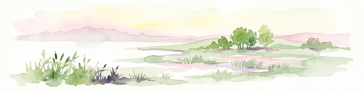
Lake Neusiedl
An endorheic lake system and critical wetland sanctuary.
Lake Neusiedl, in Austria. Landscapes: lakes, wetlands, and coasts.
- Area
- 315 km²
- Established
- 1993
- Relief
- Lowland
- Climate
- Temperate

Browse protected lands and natural terrain across Austria's diverse geographic regions.
Explore maps and profiles of protected areas in Austria, including Neusiedler See and Hohe Tauern.

Comparing conservation scales, historical establishment, and diverse alpine habitats
Known protected area
Area data available for 18 of 22 parks.
Median park size
Median across 18 parks with known area.
Discover the Mapped Geography and Protected Landscapes of Austria
Austria is a landlocked country in Central Europe, bordered by Germany, Czech Republic, Slovakia, Hungary, Slovenia, Italy, Switzerland, and Liechtenstein. The country is a federal semi-presessional republic composed of nine states, with Vienna as its capital and largest city. It has a population of approximately 9.1 million people.
Austria, officially the Republic of Austria, is a landlocked country in Central Europe occupying the Eastern Alps. It emerged as a unified state from the remnants of the Eastern and Hungarian March at the end of the first millennium, developing into a Duchy in 1156 and an Archduchy in 1453. As the heartland of the Habsburg monarchy from the late 13th century, Austria was a major imperial power in Central Europe for centuries.
Explore Austria's diverse protected landscapes and national parks with a geography-first atlas perspective.
An endorheic lake system and critical wetland sanctuary.
Lake Neusiedl, in Austria. Landscapes: lakes, wetlands, and coasts.
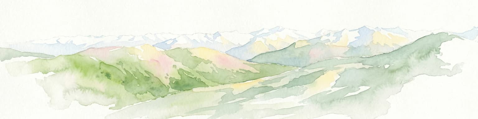
High-altitude mountain terrain and glacial systems in Austria
Hohe Tauern National Park, in Austria.
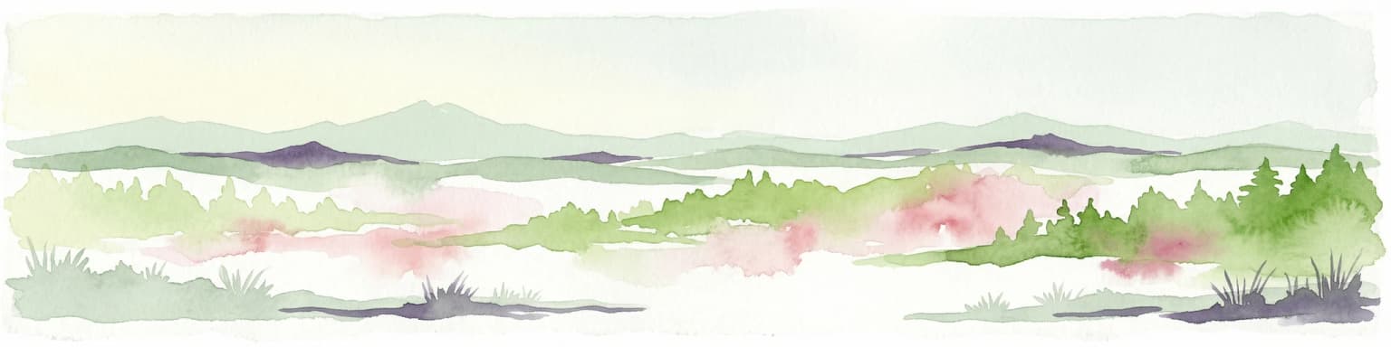
Explore mapped boundaries and unique alpine terrain.
Kalkalpen National Park, in Upper Austria, Austria. Landscapes: mountains, forests, and karst.
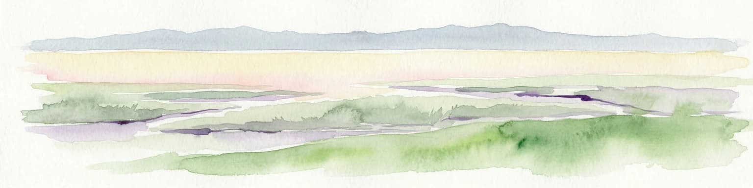
Explore mapped wetland geography and birdwatching significance.
Neusiedler See-Seewinkel National Park showcases a rare steppe lake environment and extensive wetland habitats at the eastern edge of Austria, within the Burgenland region. This protected area is globally recognized for its exceptional avian diversity and the unique ecological mosaic formed by reed beds, salt marshes, and seasonal pools. Explore its mapped boundaries and distinctive Pannonian geography for a deep understanding of this vital European protected landscape.
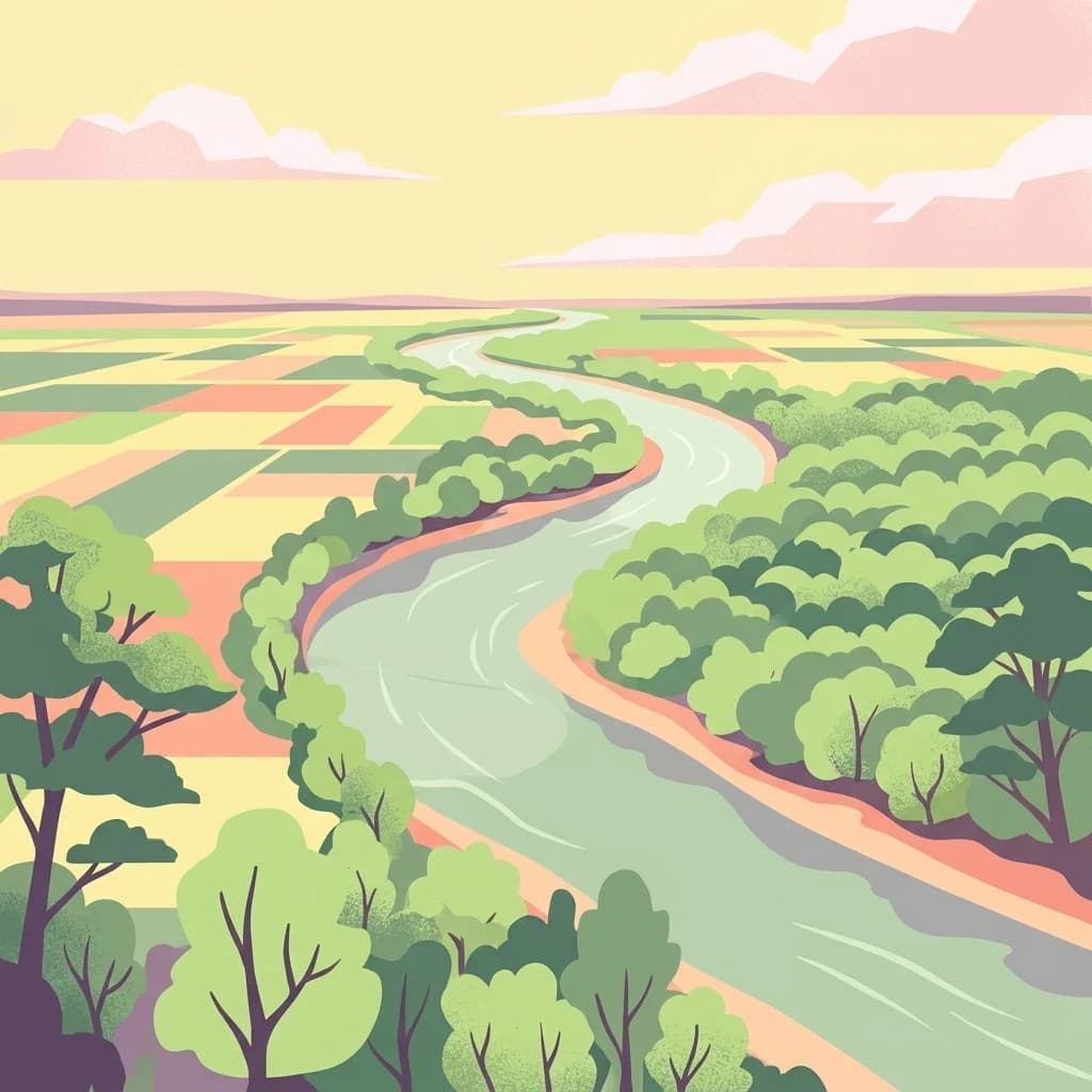
Mapped boundaries and vital riparian landscape in Lower Austria.
Danube-Auen National Park, in Lower Austria, Austria. Landscapes: rivers, forests, and wetlands.

Explore Austria's dramatic river gorge and rugged peaks.
Gesäuse National Park, in Styria, Austria. Landscapes: mountains, valleys, and rivers.
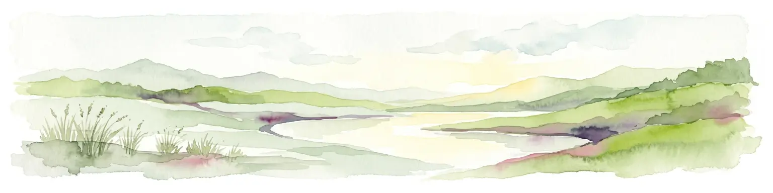
Natural terrain and protected boundaries in Lower Austria
The Vienna Woods encompass a distinct geographic region where sandstone ridges meet limestone formations. This protected landscape provides a dense network of forest habitats, river gorges, and significant peaks overlooking the Danube. Its structure traces the edge of the Alps, offering a rich study in regional geology, elevation gradients, and the intersection of natural wilderness with the surrounding basin environment.
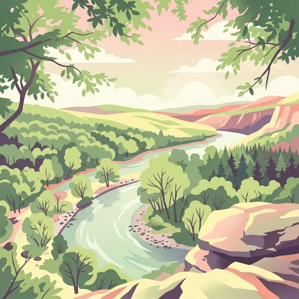
Explore the mapped geography of a breakthrough valley and its rich biodiversity.
Thayatal National Park, Austria's smallest national park, offers a concentrated study in protected landscape discovery. Its core feature is the spectacular Thaya River breakthrough valley, a deep gorge cutting through gneiss terrain with steep, forested slopes. This page provides context for its mapped protected area, highlighting its exceptional biodiversity and its role as a transboundary conservation zone with the adjacent Czech Podyjí National Park. Understand the geographic setting and unique landscape character of this significant natural region.
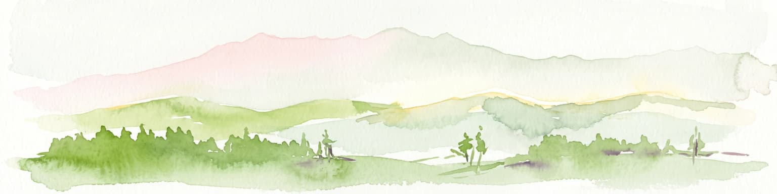
A comprehensive look at the Wilder Kaiser and Zahmer Kaiser ridges
The Kaiser Mountains stand as a monumental feature within the Northern Limestone Alps. This nature reserve offers a unique geographic profile, from sheer, pale Wetterstein limestone walls to broad alpine pastures and pine-covered ridges. Its radial drainage patterns and self-contained massif structure provide an essential case study for understanding the diverse mountain terrain that defines the heart of the Austrian Tyrol.
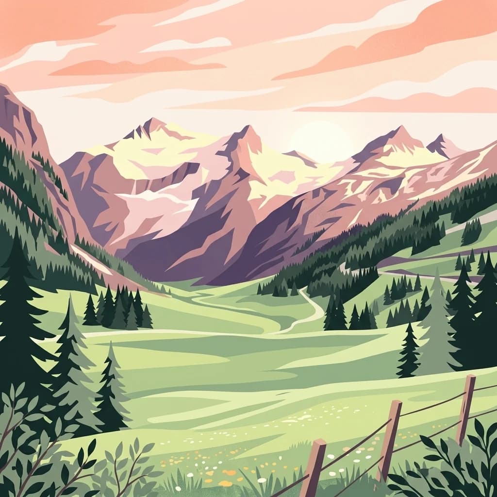
Major protected area in the heart of the Austrian Alps
Hohe Tauern National Park protects a grand scale of alpine terrain, including towering summits above 3,000 meters and the longest glacial systems in the country. This atlas record provides insights into the park's vertical landscape, encompassing glacial valleys, waterfalls, and diverse ecological zones that define the High Tauern mountain range in Austria.
Riparian forests, oxbow lakes, and historic wetland ecosystems.
Lobau preserves the ecological memory of the Danube through a landscape of slow-moving water bodies and dense forest stands. Situated within Vienna, this protected area features a distinct topography of dry gravel terraces, reedy ponds, and riparian corridors, offering significant insights into the region's natural history and riverine geography.
High mountain geography and protected terrain in Styria, Austria
Zirbitzkogel represents the highest point of the Seetal Alps, characterized by crystalline geology, slate, and gneiss. The landscape features a clear progression from subalpine spruce and larch forests to broad, level summit plateaus covered in ragged sedge grasslands. Beyond its alpine vegetation and glacial tarns, the area serves as a critical protected habitat for diverse alpine fauna, offering an ideal setting for understanding regional alpine ecology and complex mountain landforms.
Understand how Austria is shaped by terrain, ecosystems, and seasonal conditions
Austria is located in Central Europe, lying in the Eastern Alps. It is bordered by Germany and Czech Republic to the north, Slovakia to the northeast, Hungary to the east, Slovenia and Italy to the south, and Switzerland and Liechtenstein to the west.
Austria features alpine terrain with the Eastern Alps running through the western and central regions. The country includes mountainous areas, forests, and valleys.
Austria has a temperate to alpine climate with cold winters and warm summers, varying by altitude and region.
Related topics and popular queries
Visualize the geographic distribution of Austria's national parks and protected areas through a detailed atlas view.
Explore mapped geography, the spread of protected landscapes, and country-level park context across Austria.
Explore Geographic Context and Protected Landscapes from the Austrian Atlas View

Parks and protected areas in Czech Republic, including NP Šumava and KRNAP.

Parks and protected areas in Switzerland, including Swiss National Park and Entlebuch.

Parks and protected areas in Croatia, including Plitvice Lakes and Paklenica.

Parks and protected areas in Hungary, including Hortobágy and Aggtelek.

Parks and protected areas in Slovakia, including TANAP and Poloniny.

Parks and protected areas in Slovenia, including TNP and Škocjan Caves.

Parks and protected areas in Bosnia and Herzegovina, including Sutjeska and Una.

Parks and protected areas in Liechtenstein, including Gampriner See and Ruggeller Riet.
Protected area types
Delve deeper into Austria's conservation landscape by navigating its represented park designations. Understand the nuances of each classification group, from national parks to nature reserves, and their role in defining protected areas across the country. This route provides a structured pathway to investigate Austria's geographic context through its official designation frameworks.
Find a park and explore its geography, habitats, and monthly climate.