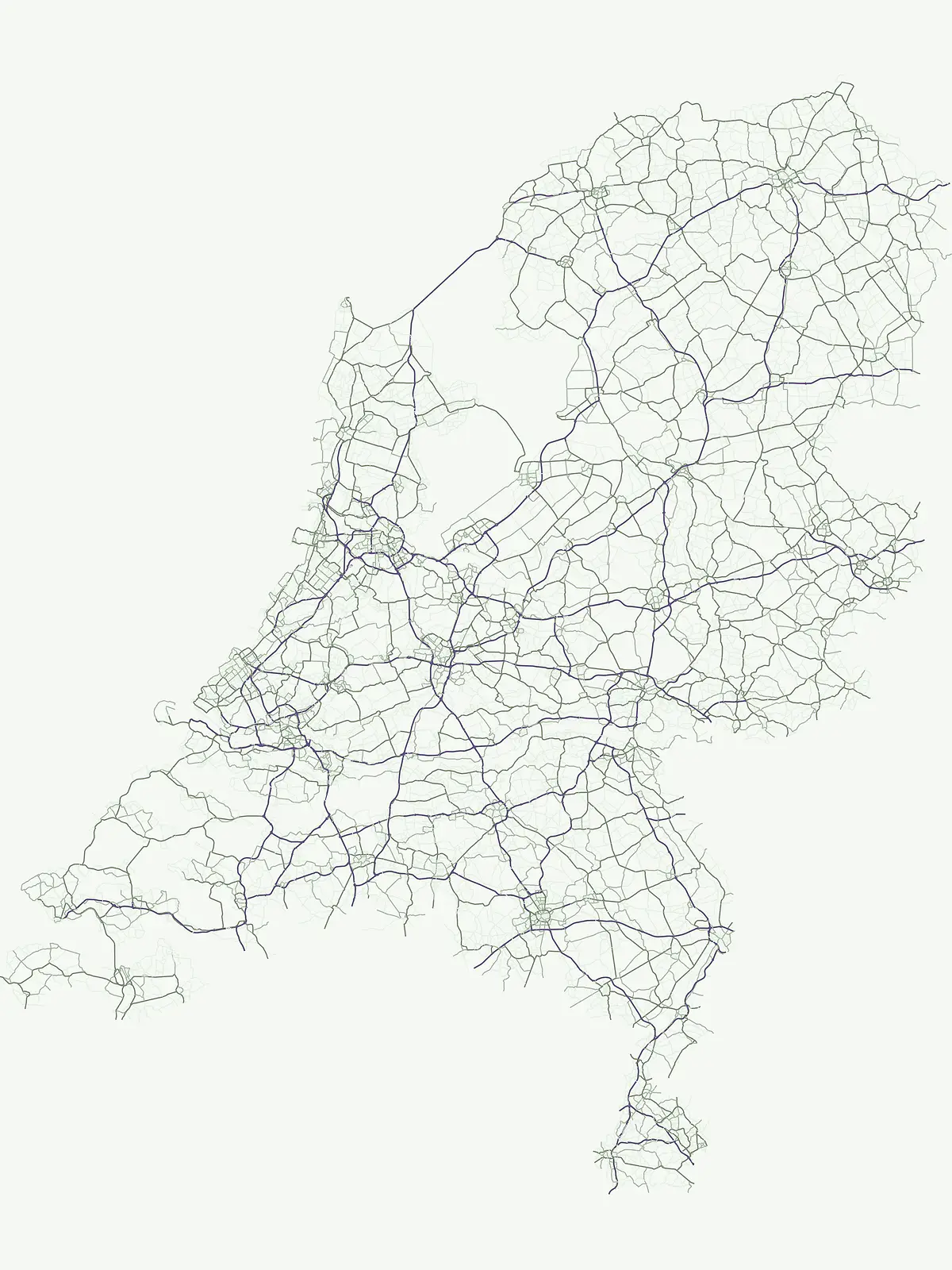
Browse and understand the distribution of nationally recognized protected areas across the Netherlands.
National Parks in the Netherlands: An Atlas of Protected Landscapes and Geographic Discovery
Delve into the Netherlands' dedicated national parks, a designation representing nationally significant protected areas focused on landscape conservation and biodiversity. This country-specific atlas view showcases the geographic spread and distinct characteristics of these important natural sites, offering a foundation for understanding their place within the broader protected-area network of the country.
Map the geographic distribution of significant protected areas across the low-lying Dutch terrain.
National Parks in the Netherlands: Explore Nationally Protected Landscapes
National parks in the Netherlands represent nationally significant protected areas, recognized for conserving diverse landscapes from extensive wetlands to unique coastal dunes and heathlands. Exploring these park lists provides an essential atlas of Dutch conservation, revealing the geographic spread and ecological importance of these crucial natural environments.
National Parks in Netherlands: Explore Protected Landscapes and Geography
Explore a comprehensive list of National Parks across the Netherlands, offering a detailed overview of nationally protected landscapes from coastal dunes to inland wetlands. This filtered collection allows for comparative geographic discovery, revealing how these significant conservation areas are distributed throughout the country's diverse regions.
National parkGelderland
De Hoge Veluwe National Park
Explore Gelderland's unique heathland, sand dune, and woodland terrain.
De Hoge Veluwe National Park, in Gelderland, Netherlands. Landscapes: forests, woodlands, and grasslands.
Explore its unique mapped terrain and protected area geography.
Zuid-Kennemerland National Park showcases a remarkable coastal dune ecosystem situated in the North Holland province. This national park entry provides detailed insight into its protected landscape, from calcium-rich dune soils supporting rare flora to ancient woodlands and extensive walking trails. Users can explore the park's mapped boundaries, understand its geographic setting within the Netherlands, and appreciate its significance as a conservation area. Discover the natural terrain and ecological richness that characterize this important Dutch protected land.
Discover Utrecht Province's glacial ridge and diverse natural terrain.
Utrechtse Heuvelrug National Park is a significant protected natural area located in Utrecht Province, renowned for its unique glacial ridge topography. This entry provides detailed information about its mapped boundaries, diverse landscapes including heathlands and forests, and its importance as an ecological corridor within the Netherlands. Explore the park's distinct geography and its role in regional conservation through our structured atlas view.
Explore oldest Dutch national park, heathlands, and glacial terrain.
Veluwezoom National Park is the Netherlands' inaugural national park, located in Gelderland. This page provides an atlas-driven exploration of its protected landscape, characterized by rolling heathlands, ancient forests, and dramatic glacial push moraines. Users can discover the park's geographical features, mapped boundaries, and its significance as a conserved natural area within the Veluwe region.
Explore its unique dune systems, salt marshes, and Wadden Sea context.
Schiermonnikoog National Park in Friesland is a testament to actively evolving coastal geography, showcasing dynamic dune formations, extensive salt marshes, and diverse natural habitats. As a protected landscape within the UNESCO Wadden Sea, it offers a unique focus for understanding regional protected areas and the intricate interplay of wind, water, and sediment shaping the North Sea coastline. Discover the park's ecological significance and its mapped terrain through MoriAtlas's structured geographic exploration.
Explore mapped protected wetlands and unique hydrological landscapes.
Weerribben-Wieden National Park stands as a remarkable example of a large-scale lowland peat bog ecosystem, recognized as the most extensive and well-preserved in Northwestern Europe. Located in the Overijssel province, this protected area showcases a complex mosaic of interconnected waterways, expansive reed beds, and marshy woodlands. Our platform provides structured geographic context, enabling detailed map-based discovery of the park's unique terrain and ecological significance as a vital conservation landscape.
National Park with unique living sand drift and dune terrain.
Navigate the geographic contours and protected land boundaries of De Loonse en Drunense Duinen National Park, a premier Dutch natural area. This national park is celebrated for its extensive living sand drift, one of the largest in Northern Europe, alongside significant heathlands and coniferous forests. Gain a structured understanding of its landscape character and its role within regional geography through detailed map context and atlas exploration tools.
More designation routesCompare the diverse range of protected landscapes and conservation areas across the Netherlands3
Exploring Netherlands Protected Area Designations: Beyond National Parks
Browse an overview of Netherlands' varied protected area designations, exploring how each category contributes to the country's unique conservation landscape. Understand the full scope of national and regional park types, comparing their geographic spread and management objectives within the Dutch protected area system.
Mapping biodiversity and habitat preservation across provinces
Nature reserve
43%
Access a structured inventory of nature reserves within the Netherlands, highlighting protected areas dedicated to ecological conservation. This resource maps key sites managed for sensitive habitats, species protection, and sustained biodiversity, offering a geographic view of the national conservation landscape.
Browse a collection of protected areas throughout the Netherlands. This index highlights essential conservation sites and natural reserves that define the broader landscape, offering a clear way to navigate various protected terrains across the country's diverse provinces.
Browse the network of marine protected areas throughout the Netherlands territory. This index highlights coastal zones and ocean-linked habitats where conservation efforts focus on maintaining biodiversity across diverse aquatic environments, from mainland coastlines to island-based marine sites.