Mori Atlas logo
Nearby park discovery

Place the Aggtelek Karst cave system within a wider protected-land geography

Compare protected landscapes around Baradla Cave across Hungary's karst region

Baradla Cave runs beneath the forested Aggtelek Karst through long passages, vast chambers, speleothem formations, and an underground river in a limestone system extending toward Slovakia. Explore protected places around this subterranean landmark on the regional map, with surface reserves, caves, and cross-border records clearly identified as distinct places.

A stylized, flat-design illustration of a waterfall falling between two steep, colorful cliffs surrounded by coniferous trees.

A vast karst cave system spanning Hungary and Slovakia, famed for its ornate speleothems and the world's tallest known stalagmite.

Baradla Cave

Baradla Cave is a large subterranean karst system in northern Hungary that, together with the Domica Cave across the border in Slovakia, forms the Baradla-Domica cave system. Stretching more than 25 kilometers through the Aggtelek Karst, it is one of the most decorated cave systems in Central Europe and is renowned for its richly colored stalactites, stalagmites, and dramatic chamber architecture. The cave has been entered and explored by people for thousands of years, with evidence of Neolithic activity near its natural openings, and its modern scientific and tourist history stretches back more than two centuries. Its main channel near Aggtelek winds for roughly seven kilometers and contains some of Europe's largest known cave rooms, including spaces large enough to hold a thousand people at once. The system also shelters a remarkable underground fauna, with hundreds of cave-dwelling species including more than twenty bat species. Alongside neighboring caves of the Aggtelek and Slovak karst regions, Baradla forms the core of a UNESCO World Heritage Site recognized for both its visual spectacle and the rare coexistence of tropical and temperate influences in karst development. Today it is part of Aggtelek National Park and remains both a protected natural landmark and a popular visitor attraction.

Location
Hungary
Park type
Natural monument
Established
1549
Baradla Cave Protected Karst Landscape
Regional park map

See the ranked park cluster in its geographic setting

Nearby parks around Baradla Cave

This regional map shows the same 18 nearby parks ranked below around Baradla Cave. Select a ranked marker to highlight that park’s boundary where boundary data is available.
Reference park: Baradla CaveRanked nearby park18 nearby parks shown
18 nearby parks

Distance-ranked collection of surrounding protected landscapes and regional geography

Parks and Protected Areas Geographically Near Baradla Cave

Browse the ranked collection of protected areas situated geographically near Baradla Cave across the surrounding terrain. Geographic separation and recorded environmental characteristics provide structured comparison signals for adjacent regional landscapes.
Watercolor painting showing a winding river, green trees, distant hills, and grassy foreground
National parkHungary
Mapped location lies within the park boundary#1 closest

Northwest

Aggtelek National Park

Karst Landscape & Cave Systems

Aggtelek National Park, in Hungary. Landscapes: mountains, hills, and valleys.

Area
198.92 km²
Established
1985
IUCN
II
Relief
Mixed relief
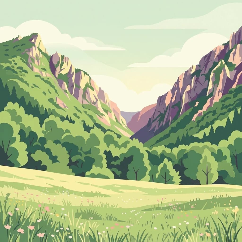
A stylized illustration of a mountain valley with a meadow in the foreground, green trees on the slopes, and rocky peaks under a pale sky.
National parkKošice Region
About 1.3 km away#2 closest

North

Slovak Karst National Park: Premier Central European Karst Landscape and Cave Systems

Explore protected terrain and mapped underground wonders in Košice Region.

Slovak Karst National Park offers an unparalleled glimpse into a dynamic karst environment. As a designated national park and UNESCO Biosphere Reserve, it preserves a significant concentration of caves, dramatic limestone formations, and rugged canyons within its territory in southeastern Slovakia. This atlas-focused presentation highlights the park's distinctive geology, mapped landscape features, and its importance as a protected natural area within the broader geography of the Košice Region. Understand the park's surface topography and its world-renowned subterranean realms.

Area
346.11 km²
Established
2002
IUCN
II
Relief
Mountain
Watercolor painting showing a landscape with hills, a body of water, and vegetation
National parkBorsod-Abaúj-Zemplén County
About 34 km away#3 closest

South

Bükk National Park

Explore mapped boundaries and unique protected landscapes.

Bükk National Park, in Borsod-Abaúj-Zemplén County, Hungary. Landscapes: mountains, forests, and caves.

Area
431.3 km²
Established
1977
IUCN
II
Relief
Mixed relief
Watercolor illustration of a winding river through rolling green hills with trees in the foreground
National parkKošice Region
About 43 km away#4 closest

North

Slovak Paradise National Park: Protected Area Mapping & Geographic Context in Košice Region

Explore the boundaries and terrain of this national park.

Investigate Slovak Paradise National Park, a designated national park situated within Slovakia's Košice Region. This detailed entry provides essential context for understanding its protected landscape features, mapped geographic distribution, and role within regional atlas exploration. Discover its unique terrain and boundaries to build a comprehensive view of Slovak conservation areas.

Area
197.63 km²
Established
1988
IUCN
II
Relief
Mountain
Watercolor illustration of a forested landscape with mountains, trees, and a river
National parkBanská Bystrica Region
About 44 km away#5 closest

Northwest

Muránska planina National Park: Discover Slovakia's Karst Plateau and Protected Natural Landscape

Explore mapped boundaries, caves, and endemic flora in Banská Bystrica Region.

Muránska planina National Park represents a significant protected landscape in central Slovakia's Banská Bystrica Region, defined by its extensive karst topography. This national park encompasses a limestone and dolomite plateau rich with geological wonders, including over 150 caves, sinkholes, and karst springs. The unique contrast between the flat plateau surface and the sharp, rocky ravines showcases a dramatic natural terrain. Explore the park's mapped boundaries and its remarkable biodiversity, highlighted by 35 endemic species and rare Tertiary relict flora like Daphne arbuscula, making it a key destination for atlas-based geographic discovery.

Area
213.18 km²
Established
1997
IUCN
II
Relief
Mountain
Watercolor painting of rolling mountains in green, yellow, and pink tones
National parkSlovakia
About 48 km away#6 closest

Northwest

Low Tatras National Park

Explore mapped terrain and regional geographic context.

Low Tatras National Park, in Slovakia. Landscapes: mountains, valleys, and forests.

Area
728 km²
Established
1978
IUCN
II
Relief
Mountain
Watercolor painting showing a lake surrounded by trees and mountains in the background
National parkSlovakia
About 73 km away#7 closest

Northwest

Tatra National Park: Mapping the Alpine Peaks and Glacial Landscapes of Slovakia

Protected Mountain Terrain in the Carpathian Range

Examine the geographic framework of Tatra National Park, a significant protected area in Slovakia defined by dramatic glacial valleys, over three hundred caves, and high-altitude mountain ecosystems. This authoritative entry provides a detailed look at the park's alpine boundaries, hydrological networks, and role as a transboundary biosphere reserve in the Carpathian Mountains.

Area
738 km²
Established
1949
IUCN
II
Relief
Mountain
Watercolor painting depicting grasslands, hills, and a body of water.
National parkHungary
About 82 km away#8 closest

Southeast

Hortobágy National Park

Explore the unique geography and mapped park boundaries of Hungary's first national park.

Hortobágy National Park, in Hungary. Landscapes: grasslands, wetlands, and rivers.

Area
748.2 km²
Established
1973
IUCN
II
Relief
Lowland
Watercolor painting of mountain ranges, forests, and a winding river
National parkLesser Poland Voivodeship
About 85 km away#9 closest

Northwest

Tatra National Park: An Atlas Discovery of Poland's Alpine High-Mountain Protected Landscape

Glacial valleys, granite peaks, and mountain biodiversity in Lesser Poland.

Tatra National Park stands as a vital sanctuary for Poland's alpine mountain ecosystems. The protected area features a striking landscape of high-altitude rock formations, glacial cirques holding deep blue lakes, and extensive subterranean cave systems. By studying the park boundaries and vertical zonation, users gain insight into the ecological diversity of the Carpathian arc and the physical geography of the Lesser Poland region.

Area
211.64 km²
Established
1954
IUCN
II
Visitors
3.9M annual
Protected areaLesser Poland Voivodeship
About 97 km away#10 closest

North

Ostoja Popradzka: Mapped Protected Landscapes and Geographic Context in Southern Poland

A core conservation site within the Beskid Sadecki mountain range

Spanning extensive river valleys and alpine meadows, Ostoja Popradzka serves as a primary habitat network in the Polish Carpathians. This entry details its layered geography, including protected forest reserves, karst cave systems, and essential corridors for large carnivores, framed within the administrative boundaries of the Lesser Poland Voivodeship.

Area
579.31 km²
Established
2008
Relief
Mountain
Scope
Terrestrial
Watercolor illustration of a river flowing through a forested valley with rolling hills and scattered trees
National parkPrešov Region
About 99 km away#11 closest

North

Pieniny National Park: Geographic Insights and Protected Landscape Mapping in Prešov Region

Explore karst terrain, river gorge geography, and mountain boundaries

Pieniny National Park showcases remarkable limestone scenery and rare karst microhabitats along the Slovak-Polish border. This atlas focus provides a technical overview of the park's physical boundaries, river canyon systems, and its geological significance within the Prešov Region. Access key geographic data regarding the Lesser Pieniny ridges and the unique ecological corridors that define this internationally recognized conservation zone.

Area
37.5 km²
Established
1967
IUCN
II
Relief
Mountain
A digital illustration of a rolling landscape during sunset; a small observation tower sits atop a grassy, rounded hill in the center, surrounded by colorful autumn forests.
National parkPest County
About 103 km away#12 closest

Southwest

Danube-Ipoly National Park: Protected Landscape and Geographic Atlas

Mapping Hungary's diverse terrain and protected natural areas.

Delve into Danube-Ipoly National Park, a significant protected area renowned for its extraordinary ecological diversity. This page explores the park's distinct landscapes, from the volcanic formations of the Börzsöny Mountains to the deep karst cave systems of the Pilis, set against the backdrop of the Danube and Ipoly river floodplains. Understand its geographic placement within Pest County and its role as a vital protected landscape for conservation and atlas-based discovery.

Area
603.14 km²
Established
1997
IUCN
V
Relief
Mixed relief
Watercolor illustration of a mountainous landscape with green forests and a river
National parkLesser Poland Voivodeship
About 103 km away#13 closest

North

Pieniny National Park: Geographic and Protected Area Map Analysis of Lesser Poland

Limestone karst landscapes and Carpathian mountain terrain

Examine the topography of Pieniny National Park, from the towering Trzy Korony peaks to the narrow channels of the Dunajec River gorge. This detailed overview covers the protected limestone ridges and species-rich meadows that define one of the most prominent natural landscapes in the Lesser Poland region.

Area
23.46 km²
Established
1932
IUCN
II
Visitors
815K annual
Protected areaLesser Poland Voivodeship
About 106 km away#14 closest

North

Środkowy Dunajec z dopływami: Protected River Habitats and Carpathian Foothills Geography

Exploring the river corridor and riparian ecosystems of southern Poland

Spanning 755 hectares across four connected enclaves, Środkowy Dunajec z dopływami protects the vital riverine systems of the middle Dunajec and its tributaries. This site offers a unique look at the fluvial processes and biodiversity of Carpathian mountain streams, showcasing diverse habitat structures from pioneer gravel banks to mature riparian forests.

Area
7.56 km²
Relief
Upland
Scope
Terrestrial
Water
Major water bodies
A digital illustration of a mountain landscape with a winding trail leading up a grassy ridge, dotted with pine trees and soft clouds in the background.
National parkSlovakia
About 106 km away#15 closest

Northwest

Veľká Fatra National Park: Slovakia's Premier Protected Landscape for Geographic Discovery

Explore the park's mapped boundaries and regional natural terrain.

Veľká Fatra National Park stands as a distinct protected area, offering critical insights into Slovakia's regional geography and landscape character. This entry provides an atlas-driven perspective on its mapped boundaries and its significance as a national park. Delve into the structured geographic details and protected land context that define Veľká Fatra National Park for comprehensive discovery.

Area
403.713 km²
Established
2002
IUCN
II
Relief
Mountain
Nature reserveLesser Poland Voivodeship
About 112 km away#16 closest

North

Rezerwat przyrody Modrzewie: Mapping Protected Larch Woodland Geography in Lesser Poland

Nature reserve on the southern slopes of the Gorce mountains

The Rezerwat przyrody Modrzewie nature reserve protects a rare stand of old-growth larch trees within the Gorce mountain range. Located on the southern slopes of Lubań in the Lesser Poland Voivodeship, this site provides valuable data on Carpathian forest ecology, displaying distinct tree populations that contrast with the surrounding alpine meadows and montane landscapes of southern Poland.

Area
0.107 km²
Established
1959
Relief
Mountain
Climate
Temperate
A soft watercolor painting depicting a winding river through a flat, marshy landscape with distant hills under a light sky.
Nature reserveLesser Poland Voivodeship
About 114 km away#17 closest

Northwest

Torfowiska Orawsko-Nowotarskie Nature Reserve: Mapped Geography and Protected Bog Landscapes

A vital peatland complex within the Polish Carpathian foothills.

Torfowiska Orawsko-Nowotarskie stands as one of the most comprehensive peatland conservation sites in the Polish Carpathians. Its landscape is defined by dome-shaped raised bogs, marshy pools, and boggy woodlands that occupy the broad intermontane basin of the Kotlina Orawsko-Nowotarska, offering a unique look at post-glacial wetland ecology.

Area
82.667 km²
Established
2007
Relief
Upland
Climate
Temperate
Watercolor painting showing rolling green hills, forests, and distant mountains under a pale sky
National parkLesser Poland Voivodeship
About 115 km away#18 closest

North

Gorce National Park

Mountain meadows and Carpathian forest landscapes in southern Poland

Gorce National Park, in Lesser Poland Voivodeship, Poland. Landscapes: mountains, valleys, and forests.

Area
70.3 km²
Established
1981
IUCN
II
Visitors
80K annual
Distance methodology

Geographic measurements, not driving distances

How nearby park distances are calculated

Distances use park boundaries whenever the available geometry allows it. When one or both boundaries are missing, the mapped park locations provide a clearly labelled estimate. Every value represents straight-line geographic separation and does not use roads or routing.

Boundary distance

Calculated between the nearest points of both park boundaries.

Location-to-boundary estimate

Estimated from one mapped park location to the nearest boundary of the other park.

Mapped-location estimate

Estimated between the mapped locations of both parks.

MoriAtlas Explorer

Analyze the Subterranean Geography and Karst Landscapes of Baradla Cave

Continue exploring the detailed geography of Baradla Cave through the MoriAtlas structured database. Gain insights into the complex chamber architecture, karst development, and protected status of this significant Hungarian natural monument as part of your broader regional map exploration.