Mori Atlas logo
Nearby park discovery

Explore the regional landscape context and mapped proximity of nearby Malawian reserves

Geographic Discovery of Protected Areas and National Parks Near Chikangawa Forest Reserve

Analyze the spatial distribution of protected lands in the Northern Region of Malawi surrounding Chikangawa Forest Reserve. This geographic overview highlights the density of nearby forest blocks and wilderness areas across the Viphya Mountains. Use the map to identify adjacent mountainous terrain and protected watershed landscapes within the regional northern corridor.

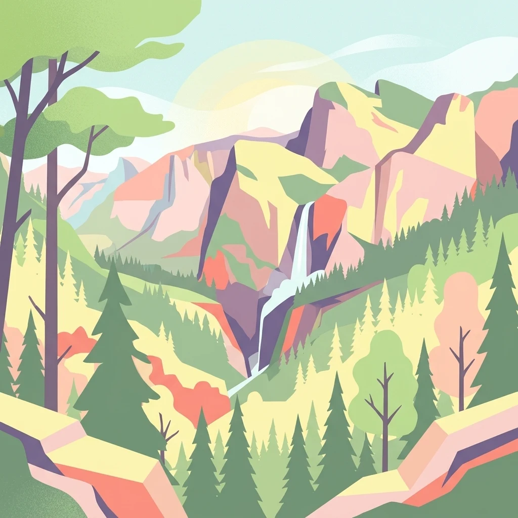
A flat vector-style illustration of a lush mountain valley featuring coniferous trees, rugged cliffs, and a small waterfall flowing into a stream, rendered in a warm, pastel color palette.

Viphya Mountains pine forest reserve in northern Malawi, framing the road between Mzuzu and Nkhata Bay

Chikangawa Forest Reserve

Chikangawa Forest Reserve is a large state-managed protected forest in the Northern Region of Malawi, set on the Viphya Mountains between Mzuzu and the lakeshore. Established in 1948, it covers roughly 1,150 square kilometers of plantation pine interspersed with patches of native evergreen montane forest. The reserve protects uphill water sources and the indigenous forest cover of the Viphya range, while also hosting one of Africa's most extensive man-made pine forests, the Viphya Plantation, planted from the 1960s. The reserve is more than a working timber landscape. It is a regionally important habitat block that supports native plant communities alongside plantations, sustains a range of bird and mammal species, and buffers the natural catchments that drain toward Lake Malawi. For visitors traveling between Mzuzu and Nkhata Bay, the Chikangawa forest road is one of the most distinctive scenic drives in northern Malawi, marked by steep slopes, pine-lined curves, and sweeping mountain vistas. Beyond its landscape appeal, Chikangawa carries cultural and historical weight. It stands as an example of mid-twentieth century forest conservation in Malawi, balancing timber production, watershed protection, and biodiversity. The reserve also gained wider public attention in 2024, when a military aircraft crashed on its slopes in one of the country's deadliest aviation accidents.

Location
Malawi
Park type
Wildlife reserve
Established
1948
Area
1,147.8 km²
Explore Chikangawa Forest Reserve Geography
Regional park map

See the ranked park cluster in its geographic setting

Nearby parks around Chikangawa Forest Reserve

This regional map shows the same 20 nearby parks ranked below around Chikangawa Forest Reserve. Select a ranked marker to highlight that park’s boundary where boundary data is available.
Reference park: Chikangawa Forest ReserveRanked nearby park20 nearby parks shown
20 nearby parks

Geographic distance ranking and regional landscape comparison for nearby protected reserves

Protected Areas and Parks Near Chikangawa Forest Reserve

Examine the ranked collection of protected areas located geographically near Chikangawa Forest Reserve to analyze surrounding regional park geography. These distance measurements and recorded environmental attributes provide structured comparison signals for exploring nearby conservation landscapes.
Watercolor illustration showing a soft-focus landscape with scattered trees, low scrub, and distant rolling hills in pale green and yellow tones.
Wildlife reserveMalawi
About 27 km away#1 closest

Southeast

Nkhotakota Wildlife Reserve: Protected Geography and Rift Valley Landscapes

A vast, recovering miombo woodland sanctuary in central Malawi.

Nkhotakota Wildlife Reserve represents a massive conservation effort within the Great Rift Valley, protecting 1,800 square kilometres of steep ridges, riverine gorges, and dense woodland patches. This atlas entry details the reserve's unique topography, ranging from high-altitude escarpments down toward Lake Malawi, and its role as a pivotal site for large mammal restoration and bird diversity in Southeastern Africa.

Area
1,800 km²
IUCN
IV
Relief
Mixed relief
Climate
Tropical
Wildlife reserveMalawi
About 85 km away#2 closest

North

Vwaza Marsh Wildlife Reserve: Geographic Atlas and Protected Landscape Overview

A lowland wilderness reserve in northern Malawi

Spanning roughly 1,000 square kilometers, Vwaza Marsh Wildlife Reserve provides a unique contrast to the surrounding highlands through its flat topography, seasonal wetlands, and dense mopane forests. This destination serves as a vital corridor for large mammals moving across the border, offering a window into the complex interplay of water-focused ecology and savanna-woodland habitats in Southeastern Africa.

Area
1,000 km²
IUCN
IV
National parkMalawi
About 97 km away#3 closest

North

Nyika National Park: Malawi National Park Atlas Exploration and Protected Landscape

Discover geographic context and mapped boundaries of this protected area.

Nyika National Park serves as a core entry for understanding Malawi's protected areas and natural landscapes through an atlas lens. Explore the park's designation as a national park, its geographic positioning within Malawi, and the mapped context that defines its protected status. This detail page provides a foundational view for appreciating the park's landscape and its contribution to the regional protected lands overview.

Area
3,134 km²
Established
1966
IUCN
II
Relief
Highland
National parkZambia
About 129 km away#4 closest

North

Nyika National Park: A Zambian National Park for Mapped Landscape Discovery

Explore its protected area boundaries and regional geographic context.

Nyika National Park in Zambia is a critical protected landscape offering valuable insights for geographic exploration. As a national park, its mapped terrain and regional context provide a distinct point of study within the country's atlas. Users can investigate the park's specific geographic features and its contribution to Zambia's conservation landscapes, enriching their understanding of protected areas.

Relief
Highland
Climate
Subtropical
Access
Moderate access
Scope
Terrestrial
National parkMuchinga Province
About 137 km away#5 closest

West

North Luangwa National Park: National Park Protected Landscape and Regional Geography

Mapped boundaries and geographic context within Muchinga Province.

North Luangwa National Park is a designated national park offering critical insights into Zambia's protected landscapes. This page provides an atlas-driven view of its geographic scope, emphasizing its mapped boundaries and its position within Muchinga Province. Explore the fundamental geography and protected area context that defines North Luangwa National Park for structured landscape discovery.

Area
4,636 km²
Established
1972
IUCN
II
Relief
Mixed relief
National parkZambia
About 138 km away#6 closest

Southwest

Lukusuzi National Park: Zambia's Protected National Park Geographic Context

Mapped protected area and regional landscape identity for Lukusuzi.

Gain detailed insights into Lukusuzi National Park, a key protected area in Zambia, through its geographic setting and mapped boundaries. This page provides essential context for understanding the park's landscape character and its significance within the national park atlas. Explore the fundamental protected-area geography of this distinct Zambian natural landscape.

IUCN
II
Access
Access unknown
Scope
Terrestrial
National parkMalawi
About 151 km away#7 closest

Southwest

Kasungu National Park: Protected Landscape and Geographic Atlas of Central Malawi

Explore Miombo woodlands and dambo grasslands across its mapped terrain.

Kasungu National Park is a key protected area in Malawi, offering insights into the geography of Central Malawi's savanna landscapes. This national park, covering over 2,300 square kilometres, is defined by its characteristic Miombo woodland interspersed with dambo grasslands and riverine habitats. Its location near the Zambian border provides a critical conservation corridor, making it an important entity for understanding regional protected land distribution and landscape ecology within the atlas.

Area
2,316 km²
Established
1970
IUCN
II
Relief
Mixed relief
Nature reserveCentral Region
About 172 km away#8 closest

South

Ntchisi Mountain Forest Reserve: Geographic Overview and Protected Landscape Analysis

Nature reserve featuring isolated montane rainforest and high-elevation grassland in Malawi

Ntchisi Mountain Forest Reserve stands as a compact highland landmark within Malawi's Central Region, hosting a rare enclave of montane rainforest. This protected area offers an essential study in landscape zonation, where rift-influenced moisture supports diverse forest patches amidst a broader expanse of miombo woodland and montane grasses.

Area
97.12 km²
Established
1924
Relief
Mountain
Climate
Tropical
National parkZambia
About 179 km away#9 closest

West

Luambe National Park: Detailed Geographic and Protected Area Atlas Information

Mapped landscape context within Zambia's natural regions.

This section provides an in-depth look at Luambe National Park, detailing its role as a protected area within the diverse geography of Zambia. Users can explore its mapped boundaries and understand its significance within the country's atlas of natural landscapes. The focus is on providing a concrete geographic perspective, essential for understanding how this national park fits into the regional conservation and landscape context of southern Africa.

Area
300 km²
IUCN
II
Relief
Upland
Climate
Tropical
National parkZambia
About 214 km away#10 closest

Southwest

South Luangwa National Park: Zambia's National Park Geographic Atlas and Protected Landscape

Explore mapped boundaries and regional context within this Zambian protected area.

South Luangwa National Park represents a vital national park within Zambia, offering a distinct focal point for atlas-based geographic exploration. This dedicated entry details the park's mapped area and its integration into the surrounding Zambian geography. Users seeking to understand protected landscapes, regional park distributions, and natural terrain context will find South Luangwa National Park a key reference for detailed mapping and landscape analysis.

Area
9,050 km²
Established
1972
IUCN
II
Relief
Mixed relief
National parkMalawi
About 244 km away#11 closest

Southeast

Lake Malawi National Park: UNESCO Protected Landscape and Endemic Fish Habitat

Discover mapped terrain, island geography, and evolutionary wonders.

Lake Malawi National Park offers unparalleled insight into freshwater biodiversity and landscape dynamics within Malawi's Great Rift Valley. As a UNESCO World Heritage Site, it is celebrated for its spectacular evolutionary radiation of cichlid fish, a phenomenon studied globally. The park's protected territory includes the mountainous Nankumbu Peninsula and thirteen islands, providing a rich context for understanding the interplay between aquatic ecosystems, terrestrial terrain, and unique island geography.

Area
94 km²
Established
1980
IUCN
II
Relief
Mountain
Watercolor illustration showing a lake surrounded by grassy areas with trees and mountains in the background
Nature reserveMozambique
About 272 km away#12 closest

East

Niassa Reserve Nature Reserve: Mozambique's Expansive Protected Wilderness

Mapping the vast miombo woodlands and endemic species.

Niassa Reserve, a sprawling nature reserve in northern Mozambique, represents one of the largest miombo woodland ecosystems on Earth. Its diverse terrain encompasses dense forests, open savannahs, and riparian zones, making it a vital habitat for unique wildlife and a significant landmark in regional geography. The reserve's protected status and immense scale offer unparalleled opportunities for atlas-style exploration of its landscape and conservation importance.

Area
42,000 km²
Established
1954
IUCN
IV
Relief
Mixed relief
National parkNjombe Region
About 302 km away#13 closest

North

Kitulo National Park: National Park within Njombe Region's Geographic Atlas

Mapped protected area boundaries and regional landscape context.

Kitulo National Park represents a distinct national park within the geographic atlas of Tanzania's Njombe Region. This page offers a focused exploration of its protected landscape identity, highlighting its mapped boundaries and contributing to a broader understanding of regional geography. It is designed for users seeking detailed, atlas-centric information about Kitulo National Park's specific natural landscape and its position within the surrounding terrain.

Area
413 km²
Established
2005
IUCN
II
Visitors
409 annual
National parkTanzania
About 318 km away#14 closest

Northeast

Nyerere National Park: Tanzania's Immense Protected Area and Rufiji River Landscape

Explore the savanna and river delta geography of this national park.

Nyerere National Park represents one of Tanzania's most significant protected areas, sprawling across southeastern regions and offering a glimpse into largely untouched wilderness. The park's identity is deeply intertwined with the Rufiji River and its expansive delta, home to one of the world's largest mangrove forest systems. As a national park, its vastness and diverse terrain provide critical habitat, making it a key point for understanding protected land distribution and regional landscape context within Tanzania.

Area
30,893 km²
Established
2019
IUCN
II
Relief
Mixed relief
National parkMuchinga Province
About 331 km away#15 closest

West

Lavushi Manda National Park: Zambian National Park with Mapped Protected Boundaries

Discover its regional geography and landscape context.

Lavushi Manda National Park represents a distinct protected landscape within Muchinga Province, Zambia. This page provides detailed insights into its geographic identity, mapped park boundaries, and its placement within the broader regional terrain. Utilize this resource for structured atlas exploration of the park's natural context and its significance as a conservation area, offering a foundation for understanding its environmental setting.

Area
1,500 km²
Established
1972
IUCN
II
Relief
Mixed relief
National parkTanzania
About 345 km away#16 closest

North

Ruaha National Park: Tanzania National Park, Protected Landscape and Geographic Atlas

Mapped boundaries and regional landscape context for Ruaha National Park.

Explore the protected landscape of Ruaha National Park in Tanzania. This page provides detailed mapping of its boundaries and offers insights into its geographic setting. Understand its significance as a national park within the atlas of protected areas, focusing on its natural terrain and regional context without travel logistics.

Area
20,226 km²
Established
1964
IUCN
II
Visitors
21.3K annual
National parkNorthern Province
About 354 km away#17 closest

West

Isangano National Park: Exploring Its Protected Landscape and Geographic Identity in Northern Province

Discover the mapped boundaries and regional context of this national park.

Isangano National Park stands as a protected national park within the vast geographic expanse of Zambia's Northern Province. This dedicated entry provides critical context for understanding the park's role as a conservation landscape, detailing its physical geography and its position within regional atlas data. Explore the mapped outlines and natural terrain features that define Isangano National Park, offering a foundational view for broader geographic exploration and protected-area research.

Area
840 km²
Established
1972
Relief
Lowland
Climate
Tropical
National parkSouthern Region
About 371 km away#18 closest

Southeast

Liwonde National Park: National Park in Malawi's Southern Region

Mapped Protected Area Boundaries and Geographic Context

Liwonde National Park is a designated national park situated in Malawi's Southern Region. This entry provides detailed geographic information, focusing on the park's mapped boundaries and its role within the broader atlas of protected landscapes. Explore the unique regional geography and conservation context that defines this protected area.

Area
548 km²
Established
1973
Relief
Upland
Climate
Tropical
National parkCentral Province
About 408 km away#19 closest

West

Kasanka National Park: National Park, Central Province, Zambia - Atlas and Geography

Explore protected landscape boundaries and regional context

Kasanka National Park is a vital protected area situated in Zambia's Central Province. This entry provides detailed geographic context, focusing on its mapped boundaries and its significance as a national park within the larger atlas of protected lands. Users can explore the terrain and natural landscape characteristics that define this specific conservation area and its regional setting.

Area
390 km²
IUCN
II
Relief
Lowland
Scope
Terrestrial
Nature reserveMalawi
About 420 km away#20 closest

South

Zomba Plateau Nature Reserve: Geographic Overview and Mapped Mountain Terrain

Protected montane landscapes in southern Malawi

Zomba Plateau stands as a significant granitic intrusion within the Shire Highlands, featuring high-altitude terrain and diverse forested patches. This record provides essential geographic context on its geological structure, forest reserves, and surrounding vistas across the southern Malawi landscape.

Area
130 km²
Established
1913
Relief
Mountain
Climate
Tropical
Distance methodology

Geographic measurements, not driving distances

How nearby park distances are calculated

Distances use park boundaries whenever the available geometry allows it. When one or both boundaries are missing, the mapped park locations provide a clearly labelled estimate. Every value represents straight-line geographic separation and does not use roads or routing.

Boundary distance

Calculated between the nearest points of both park boundaries.

Location-to-boundary estimate

Estimated from one mapped park location to the nearest boundary of the other park.

Mapped-location estimate

Estimated between the mapped locations of both parks.

MoriAtlas Explorer

Discover the Protected Geography of Chikangawa Forest Reserve in Northern Malawi

Examine the intersection of timber plantation and wild forest through the MoriAtlas profile of Chikangawa Forest Reserve. Trace the ridgelines and mountain valleys of the Viphya range to understand how this critical protected area shapes the regional hydrology and landscape of Malawi.