Mori Atlas logo
Nearby park discovery

Explore the regional geography and distribution of nearby protected landscapes and terrain

Protected Areas and National Parks Near Conkouati-Douli National Park in the Kouilou Department

Examine the geographic distribution of protected lands situated within the vicinity of Conkouati-Douli National Park. This regional overview highlights the spatial relationship between local ecosystems, coastal zones, and nearby protected sites. Gain perspective on the surrounding landscape patterns and the broader geographic context of this protected coastal region.

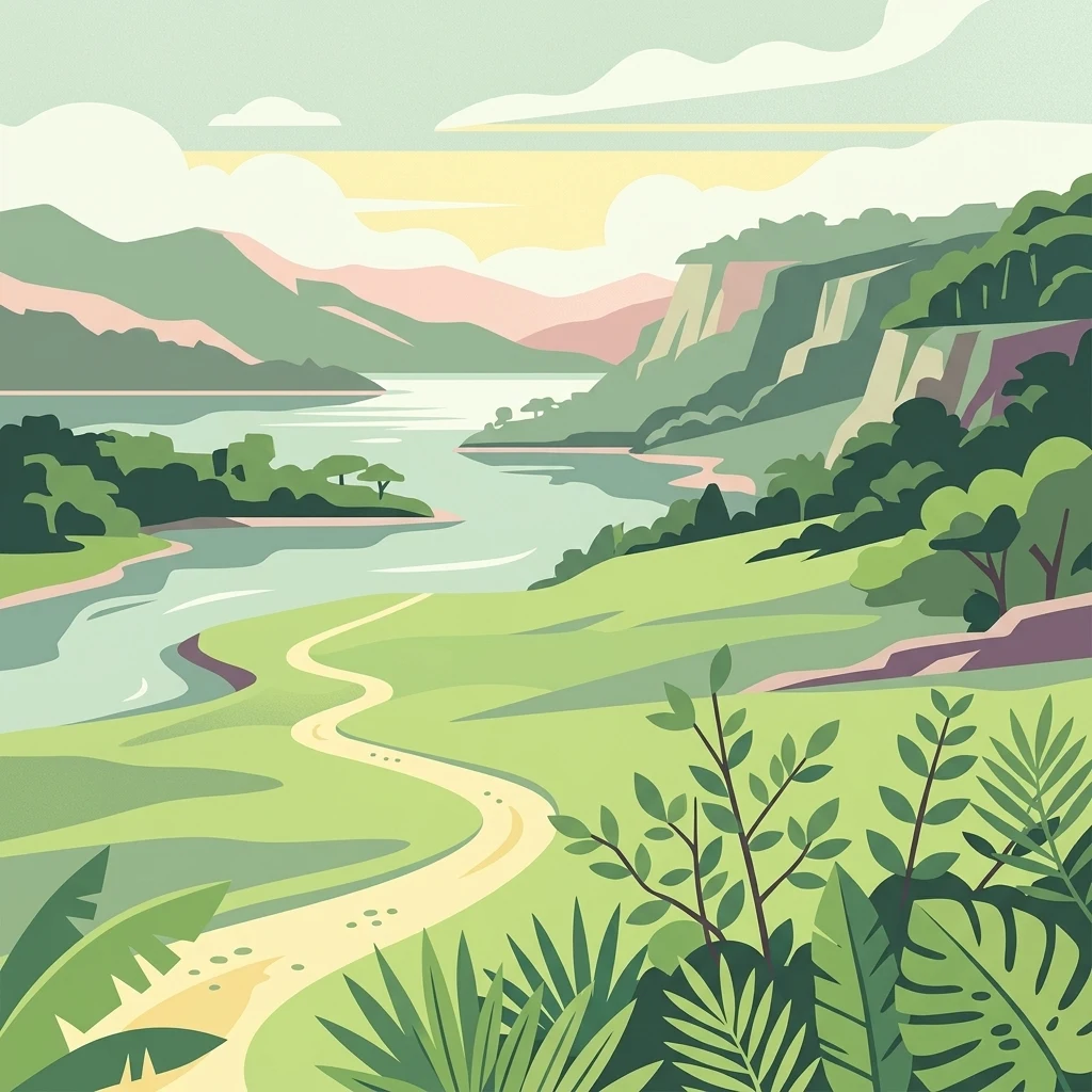
Illustration of a winding river through a valley with green hills and mountains under a partly cloudy sky

A UNESCO-recognized coastal wilderness protecting Central Africa's most biodiverse marine and forest ecosystems

Conkouati-Douli National Park

Conkouati-Douli National Park is a UNESCO-recognized coastal protected area in the Kouilou Department of the Republic of the Congo, positioned at the intersection of Congo and Gabon along National Route 5. The park encompasses approximately 5,050 square kilometers of land and an additional 4,121 square kilometers of marine territory, making it the most biodiverse protected area in the country and the only marine protected area in Congo. Established by Presidential Decree No. 99-136 on 14 August 1999, the park features a complex mosaic of dense tropical forests, wetlands, floodplain forests, coastal lagoons, and mangrove ecosystems, alongside grassy savanna zones in the southwestern and northeastern regions. The park supports exceptional populations of great apes, including an estimated 7,000 central chimpanzees and 900 western lowland gorillas, as well as approximately 900 forest elephants and significant populations of leatherback sea turtles that nest on its beaches. With around 7,800 residents distributed across 31 villages, the park maintains important cultural connections to the Vili people, an ethnic group of fishers and traders who have inhabited the coastal region since the 13th century.

Location
Congo
Park type
National park
Established
1999
Area
7,955 km²
Conkouati-Douli National Park Atlas
Regional park map

See the ranked park cluster in its geographic setting

Nearby parks around Conkouati-Douli National Park

This regional map shows the same 20 nearby parks ranked below around Conkouati-Douli National Park. Select a ranked marker to highlight that park’s boundary where boundary data is available.
Reference park: Conkouati-Douli National ParkRanked nearby park20 nearby parks shown
20 nearby parks

Geographic proximity and regional landscape comparison for surrounding conservation zones

Ranked Protected Areas and Surrounding Parks Near Conkouati-Douli National Park

Browse a ranked collection of protected areas positioned geographically near Conkouati-Douli National Park based on direct boundary measurements. Compare surrounding regional park geography and recorded environmental traits to evaluate broader conservation patterns across the wider corridor.
National parkGabon
About 52 km away#1 closest

West

Mayumba National Park: Gabon's Equatorial Protected Area and Geographic Atlas

Explore mapped park boundaries and regional landscape context.

Delve into the geographic identity of Mayumba National Park, a significant protected area situated in Gabon. This detail page provides atlas-style insights into the park's mapped boundaries, its position within the equatorial geography of Central Africa, and its role as a national park. Understand the protected landscape's environmental context and its atlas significance.

Area
870 km²
Established
2002
IUCN
II
Relief
Lowland
National parkGabon
About 201 km away#2 closest

Northwest

Moukalaba-Doudou National Park: Protected Forest and Savanna Mosaic in Southeastern Gabon

Geographic overview of a key Central African protected area.

Moukalaba-Doudou National Park represents a significant protected area in southeastern Gabon, covering 4,500 square kilometers of diverse terrain. The park is defined by its unusual interaction between humid tropical rainforest and expansive savanna grasslands, marking it as a critical ecological transition zone in the Congo Basin region.

Area
4,500 km²
IUCN
II
Scope
Terrestrial
Water
Minor water
National parkGabon
About 201 km away#3 closest

Northwest

Moukalaba-Doudou National Park: Geographic Context and Protected Landscape Map in Gabon

A vital tropical forest protected area in Central Africa

Moukalaba-Doudou National Park functions as a core component of the Gabon protected landscape, shielding vast tracts of tropical forest and supporting essential environmental integrity. This geographic overview provides clear insights into the park footprint and regional setting, enabling a deeper awareness of how this territory sits within the broader conservation geography of Central Africa.

Access
Access unknown
National parkDemocratic Republic of the Congo
About 249 km away#4 closest

Southeast

Mangroves National Park: Geographic Boundaries and Regional Landscape Discovery

Coastal wetland and estuarine protected area in the Democratic Republic of the Congo

Access a structured geographic overview of Mangroves National Park, an essential coastal protected area in the Democratic Republic of the Congo. This analysis covers the park's wetland habitat, delta geography, and the broader environmental context of this tropical maritime landscape for focused regional exploration.

IUCN
II
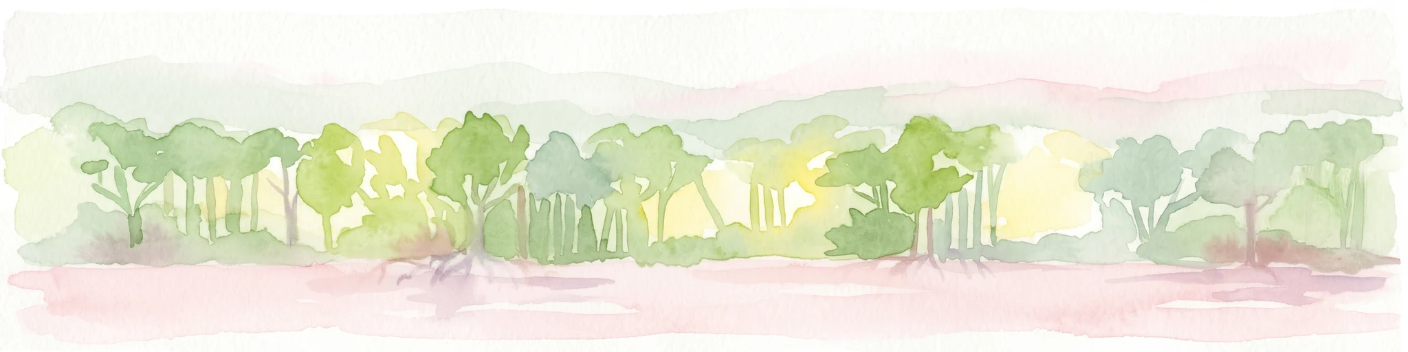
Watercolor painting showing mangrove trees and a shoreline under a light sky.
National parkDemocratic Republic of the Congo
About 249 km away#5 closest

Southeast

Mangroves National Park: Protected Marine and Coastal Ecosystems of the Democratic Republic of the Congo

A vital Ramsar wetland at the Congo River mouth

This protected area captures the unique interplay between the Atlantic Ocean and the Congo River delta. Known for its extensive mangrove forests, the park maintains vital ecological functions including sediment stabilization and carbon sequestration. Its complex network of tidal channels and brackish lagoons supports diverse populations of hippopotamuses, crocodiles, and the rare African manatee within a compact, distinctive landscape.

Area
768 km²
Established
1992
IUCN
II
Relief
Lowland
National parkGabon
About 249 km away#6 closest

Northwest

Loango National Park: Gabon's Coastal Wilderness and Unique Protected Landscape

Explore savanna, forest, beach, and lagoon ecosystems in this vital national park.

Loango National Park in Gabon is a significant protected area recognized for its remarkable geographic diversity. This national park encompasses over 100 kilometers of pristine, uninhabited Atlantic coastline, rare mangrove systems, and expansive savanna plains transitioning into dense tropical forests. Its unique landscape, particularly the Iguéla Lagoon, offers rich opportunities for atlas-style exploration of coastal ecosystems and protected areas. Understanding the park's mapped boundaries and regional setting is key to appreciating its ecological importance.

Area
1,550 km²
Established
2002
IUCN
II
Relief
Lowland
National parkGabon
About 252 km away#7 closest

North

Birougou National Park: Mapped Protected Landscape and Regional Geography in Gabon

Explore the geographic extent and conservation context of this national park.

Birougou National Park is an important protected area situated in Gabon, offering a distinct focus for geographic and atlas-based discovery. This national park serves as a significant element within the country's network of conservation landscapes, providing a focal point for understanding mapped terrain and regional geographic patterns. Users can explore its protected boundaries and gain insight into its specific environmental context within Central Africa, making it a vital entry for atlas exploration of Gabon's natural heritage.

Area
690 km²
Established
2002
IUCN
II
Relief
Mountain
National parkGabon
About 265 km away#8 closest

North

Waka National Park: A Mapped Protected Landscape in Gabon's Geography

Explore the natural terrain and park boundaries of this national park.

Waka National Park in Gabon represents a vital protected landscape for geographic exploration. This dedicated detail page offers insight into the park's specific mapped area and its place within the country's broader natural terrain. Understand its context as a national park, contributing to the atlas of protected areas in Central Africa. Discover the geographic identity of this significant natural reserve.

Area
1,060 km²
Established
2002
IUCN
II
Relief
Mountain
Wildlife reserveOgooué-Maritime
About 273 km away#9 closest

Northwest

Zone humide de Petit Loango Wildlife Reserve: Regional Atlas and Protected Area Context

Extensive coastal wetland complex in Ogooué-Maritime, Gabon

Examine the geographic boundaries and landscape composition of Zone humide de Petit Loango. This Ramsar-recognized site in Ogooué-Maritime encompasses the Petit Loango Fauna Reserve alongside associated hunting domains, creating a unique coastal environment defined by dense mangrove networks, river estuaries, and inland freshwater swamps.

Area
4,800 km²
Established
1986
Relief
Lowland
Scope
Mixed
Protected areaGabon
About 296 km away#10 closest

Northeast

Parc de la Lékédi: Protected Area Geography and Landscape Context in Southeastern Gabon

A managed savanna and forest mosaic reserve in the Haut-Ogooué province.

Spanning 14,000 hectares of sandstone terrain, Parc de la Lékédi represents a distinct protected landscape in Gabon. The reserve merges conservation goals with scientific research on primates, utilizing a network of lakes and riverine corridors that support a high concentration of forest and savanna species in a highly managed, ecologically significant environment.

Area
140 km²
Established
1990
Relief
Upland
Climate
Tropical
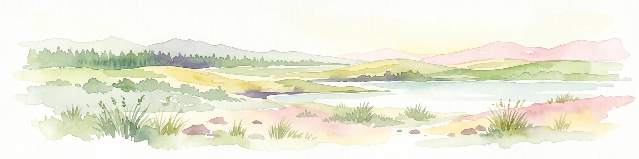
Watercolor painting of a landscape with grassy areas, a lake, and distant hills under a light sky
National parkGabon
About 312 km away#11 closest

North

Lopé National Park: Gabon's Protected Landscape and National Park Geography

Explore mapped boundaries and natural terrain in Central Africa.

Delve into Lopé National Park, a designated national park situated in Gabon. This protected area serves as a crucial point for understanding the nation's geography and the distribution of its conservation landscapes. As an entry in the MoriAtlas, it offers a detailed view of its mapped territory and its contribution to the broader regional context of Central Africa, emphasizing its role in protected area atlas exploration.

Area
4,910 km²
Established
2002
IUCN
II
Relief
Mixed relief
National parkGabon
About 318 km away#12 closest

Northeast

Ogooué-Leketi National Park National Park: A Protected Landscape in Gabon's Geography

Mapped boundaries and regional protected-area context.

Delve into the protected landscape of Ogooué-Leketi National Park, a national park situated in Gabon. This entry provides crucial context for understanding the park's geographic footprint and its role as a conservation area. Examine the mapped terrain and discover how Ogooué-Leketi National Park fits into the regional geography of Central Africa, offering an atlas-driven perspective on its protected status.

National parkHaut-Ogooué Province
About 341 km away#13 closest

Northeast

Batéké Plateau National Park: Mapped Geography of a Central African Forest-Savanna Mosaic

Discover the terrain and protected landscape of Haut-Ogooué Province.

Batéké Plateau National Park is defined by its expansive forest-savanna mosaic, a rare ecological formation across Central Africa. Located within Haut-Ogooué Province, this national park showcases unique terrain characterized by savanna grasslands interspersed with woodlands and forested corridors. Understanding its geographic context and protected boundaries provides valuable insight into the region's natural heritage and conservation significance.

Area
2,034 km²
Established
2002
IUCN
II
Relief
Upland
Wildlife reserveEstuaire
About 398 km away#14 closest

Northwest

Réserve de Wonga Wongué: Atlantic Coastal Protected Landscape and Wildlife Map

Explore the geography of Gabon's expansive lowland coastal reserve

Examine the geographic boundaries and protected landscape of Réserve de Wonga Wongué, a crucial site in Gabon that features a blend of forest, hill, and plateau terrain. This reserve provides a comprehensive look at coastal river systems, marshes, and the habitats of central African megafauna along the Atlantic shore, highlighting its role as a Ramsar Wetland of International Importance and its evolving identity as a conservation area.

Area
4,281 km²
Established
1972
National parkGabon
About 460 km away#15 closest

North

Ivindo National Park: A Protected Rainforest Landscape in Gabon

Explore its waterfalls, diverse ecosystems, and mapped geographic context.

Ivindo National Park represents a significant protected landscape within Gabon, spanning a vast area of intact tropical rainforest. Recognized as a UNESCO World Heritage Site, the park is defined by the Ivindo River and its dramatic waterfalls, including the famous Kongou and Mingouli Falls. Its geography includes mountainous terrain and vital riverine ecosystems, supporting critical populations of forest elephants and great apes. This page offers a gateway to understanding the park's protected status, its unique natural features, and its role in the broader geography of Central Africa.

Area
3,000 km²
Established
2002
IUCN
II
Relief
Mixed relief
National parkGabon
About 460 km away#16 closest

Northwest

Pongara National Park: Protected Landscape and Geographic Exploration in Gabon

Mapped boundaries and regional natural context.

Pongara National Park is a designated national park within Gabon, offering a unique opportunity for structured exploration of protected lands. Users can investigate its specific geographic setting, understand its mapped boundaries, and appreciate its place within the regional landscape context. This entry provides a factual foundation for understanding the park's identity as a protected natural area and its contribution to Gabon's geography.

Area
929 km²
Established
2002
IUCN
II
Relief
Lowland
National parkWoleu-Ntem Province
About 491 km away#17 closest

North

Crystal Mountains National Park: National Park Protected Area and Geographic Context in Woleu-Ntem Province

Explore its mapped boundaries and regional landscape.

Crystal Mountains National Park is a designated national park offering critical insights into its protected landscape and geographic setting. Users can explore the mapped boundaries of this protected area, understand its regional terrain, and gain context within Woleu-Ntem Province through structured geographic data. This page provides the foundational atlas information for comprehending the park's conservation significance and natural features.

Area
1,200 km²
Established
2002
IUCN
II
Relief
Mountain
Biosphere reserveGabon
About 511 km away#18 closest

North

Ipassa-Makokou Biosphere Reserve: Gabon Geographic and Ecological Profile

Protected tropical lowland forest along the Ivindo River

Situated in northeastern Gabon, the Ipassa-Makokou Biosphere Reserve protects a vital segment of the Congolese-Guinean rainforest. This area provides deep insight into forest dynamics through decades of consistent monitoring, showcasing an unbroken canopy and high biodiversity density within a key Central African corridor.

Area
150 km²
Established
1983
National parkGabon
About 521 km away#19 closest

Northwest

Akanda National Park: A Key Protected Landscape on Gabon's Atlantic Coast

Explore Gabon's vital mangrove ecosystems and coastal protected areas.

Akanda National Park in Gabon is a significant protected area celebrated for its expansive mangrove forests and critical role in supporting migratory bird populations. Located along the Atlantic coast, this park's unique landscape at the nexus of tidal waters and coastal terrain makes it a valuable site for understanding regional ecology and mapped protected lands. It serves as a primary destination for exploring the natural geography and conservation significance of West African coastal environments.

Area
540 km²
Established
2002
IUCN
II
Relief
Lowland
National parkGabon
About 549 km away#20 closest

Northeast

Mwangné National Park: Gabon's Protected Landscape for Geographic Discovery

Explore the mapped boundaries and regional context.

Gain a detailed understanding of Mwangné National Park, a key protected area within Gabon. This page offers an atlas-centric view, highlighting its geographic significance and the characteristics of its protected landscape. Delve into the park's mapped boundaries and its role within the broader natural terrain of Central Africa, providing essential context for geographic exploration.

Distance methodology

Geographic measurements, not driving distances

How nearby park distances are calculated

Distances use park boundaries whenever the available geometry allows it. When one or both boundaries are missing, the mapped park locations provide a clearly labelled estimate. Every value represents straight-line geographic separation and does not use roads or routing.

Boundary distance

Calculated between the nearest points of both park boundaries.

Location-to-boundary estimate

Estimated from one mapped park location to the nearest boundary of the other park.

Mapped-location estimate

Estimated between the mapped locations of both parks.

MoriAtlas Explorer

Continue Exploring Conkouati-Douli National Park's Mapped Geography and Protected Landscape

Deepen your understanding of Conkouati-Douli National Park by examining its specific geographic features and protected area distribution. This focused atlas exploration helps clarify its role within the broader landscape context of Kouilou Department and beyond, providing a structured view for geographic discovery.

Global natural geography