Mori Atlas logo
Nearby park discovery

Regional landscape context and geographic distribution of nearby protected lands

National Parks and Protected Areas Surrounding Gashaka-Gumti National Park

Explore the geographic distribution of protected areas and natural landscapes surrounding Gashaka-Gumti National Park. This regional overview highlights the spatial relationship between local wilderness areas and neighboring conserved lands within the diverse terrain of the Nigerian border region.

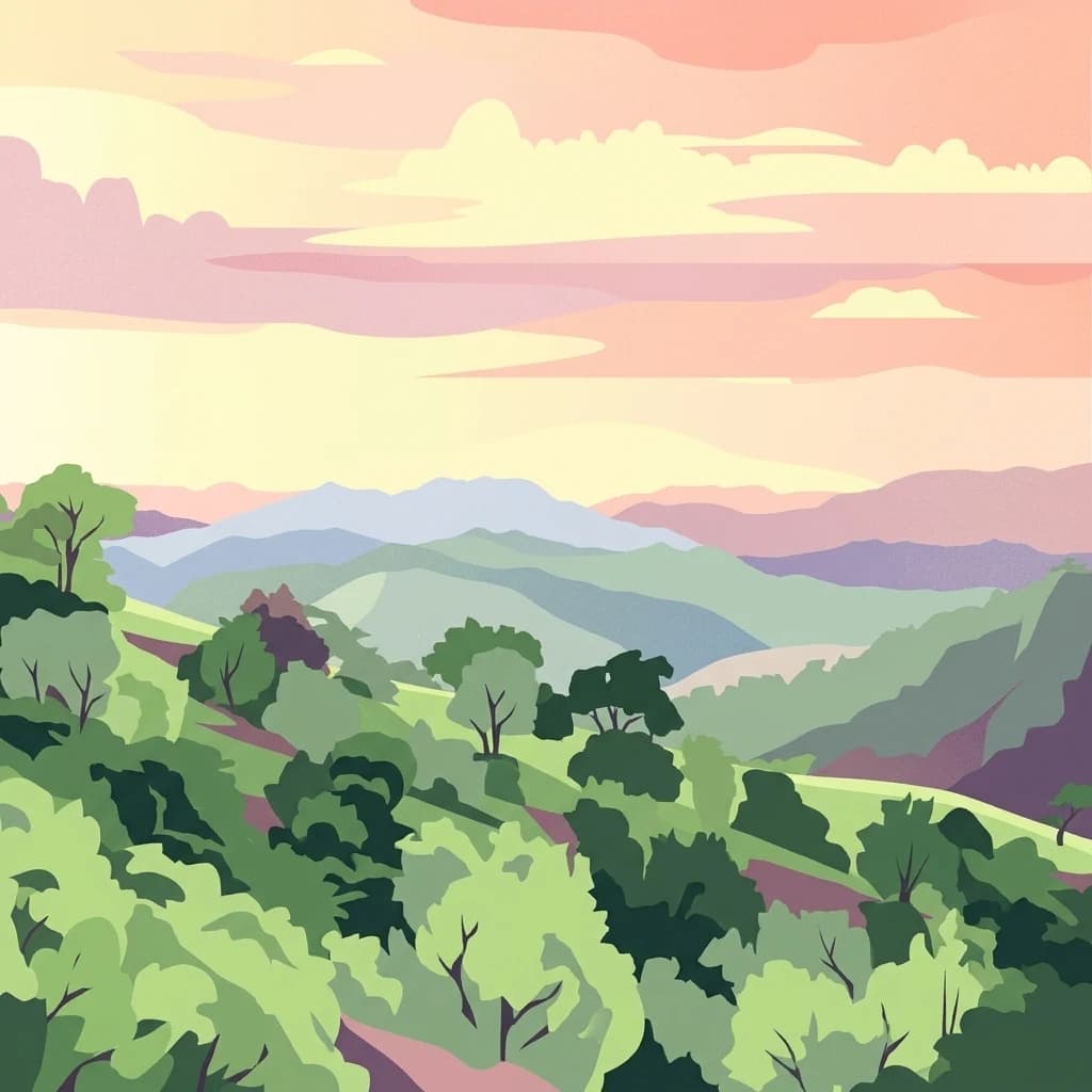
A flat-style digital illustration showing rolling green hills and distant mountain ranges under a soft, pastel-colored sunset sky.

Nigeria's largest protected wilderness spanning savanna lowlands to montane highlands

Gashaka-Gumti National Park

Gashaka-Gumti National Park is Nigeria's largest national park, encompassing approximately 6,402 square kilometers of diverse terrain in the eastern border regions of Taraba and Adamawa States. Established in 1991 through the gazettment of two former game reserves, the park stretches from the savanna grasslands of the north to the rugged mountainous landscapes of the south, where Nigeria's highest peak, Chappal Waddi, rises to 2,419 meters. The park serves as a critical watershed for the Benue River system and contains significant enclaves where local Fulani pastoralists maintain traditional farming and grazing activities within the protected boundary. Its ecological diversity is remarkable, supporting both West African savanna wildlife in the northern plains and Afromontane forest ecosystems in the southern highlands, making it one of Nigeria's most biologically significant protected areas.

Location
Nigeria
Park type
National park
Established
1991
Area
6,402 km²
Highest point
2,419 m
Gashaka-Gumti National Park Geography
Regional park map

See the ranked park cluster in its geographic setting

Nearby parks around Gashaka-Gumti National Park

This regional map shows the same 18 nearby parks ranked below around Gashaka-Gumti National Park. Select a ranked marker to highlight that park’s boundary where boundary data is available.
Reference park: Gashaka-Gumti National ParkRanked nearby parkSelected boundary: Gashaka-Gumti National Park18 nearby parks shown
18 nearby parks

Ranked distance relationships and regional park geography for comparative analysis

Parks and Protected Areas Geographically Near Gashaka-Gumti National Park

Examine the ranked collection of protected areas situated geographically near Gashaka-Gumti National Park to evaluate surrounding spatial patterns. These structured distance metrics and environmental markers provide direct context for comparing regional conservation landscapes.
A digital illustration of a river meandering through a green mountain valley at sunrise, with soft pink clouds and lush trees in the foreground.
National parkCameroon
About 119 km away#1 closest

Northeast

Faro National Park: Central Africa's Largest Hippo Population within Sudano-Sahelian Protected Landscape

Explore mapped boundaries and regional geography of this vital national park.

Faro National Park stands as a critical protected area within Cameroon, celebrated for its immense hippopotamus population and its role in conserving large mammals across the Sudano-Sahelian zone. The park's landscape comprises undulating savanna plains, river valleys, and elevated hilltops, offering a diverse geographic context for conservation. Its inclusion in a transboundary protected network highlights its importance for regional landscape mapping and ecological continuity. Understanding Faro National Park involves appreciating its unique habitat mosaic and its contribution to the protected areas atlas.

Area
3,418 km²
Established
1989
IUCN
II
Relief
Upland
National parkNorth-West Region
About 166 km away#2 closest

Southwest

Kimbi-Fungom National Park: Mapping Protected Forest and Watershed Geography

Essential habitats in Cameroon's North-West Region

Kimbi-Fungom National Park offers a distinct geographic profile, bridging the Bamboutos Mountains with low-lying savanna mosaics and riverine wetlands. This protected landscape is fundamental for the conservation of rare primate communities and the regulation of the Katsina Ala River, which feeds major water infrastructure. Gain insight into the terrain characteristics and ecological boundaries of this significant protected area through detailed mapping and regional context.

Area
657 km²
Established
2015
Relief
Mountain
Climate
Tropical
National parkCameroon
About 172 km away#3 closest

Southeast

Mbam Djerem National Park: Cameroon's Designated National Park with Mapped Protected Boundaries

Explore its regional geography and protected landscape context.

Mbam Djerem National Park is a designated national park in Cameroon, serving as a vital protected area for understanding regional geography and landscape context. This entry provides a detailed perspective on its mapped boundaries and its contribution to the protected lands inventory. Discover the park's significance as a distinct national park entity, offering specific geographic insights for atlas exploration.

Area
4,234.78 km²
Established
2000
IUCN
II
Relief
Upland
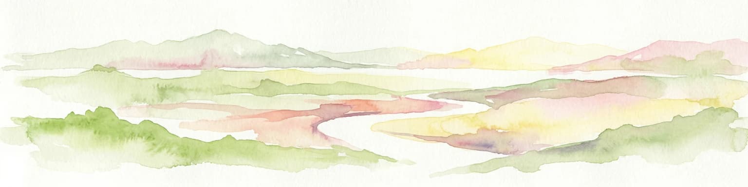
Watercolor illustration of a landscape with rolling hills, a winding river, and varied terrain in soft colors
National parkBénoué Department
About 236 km away#4 closest

Northeast

Bénoué National Park

Explore savanna woodland, riparian ecosystems, and geographic context.

Bénoué National Park, in Bénoué Department, Cameroon. Landscapes: woodlands, grasslands, and rivers.

Area
1,800 km²
Established
1968
IUCN
II
Relief
Mixed relief
National parkCentre Region
About 243 km away#5 closest

South

Mpem and Djim National Park: Protected Landscape and Regional Geographic Atlas

Explore the mapped terrain and protected boundaries of this national park.

Mpem and Djim National Park is a protected natural area situated within Cameroon's Centre Region. This detail entry provides an atlas-focused view, emphasizing the park's protected landscape characteristics and its position within the regional geography. Understand the mapped context and discover the identity of Mpem and Djim National Park as a key protected area.

Area
974.8 km²
Established
2004
IUCN
II
Relief
Upland
National parkCameroon
About 252 km away#6 closest

Southwest

Takamanda National Park: Cameroon's National Park Protected Landscape and Geographic Context

Mapped boundaries and regional setting in Cameroon.

Takamanda National Park is a key protected area in Cameroon, offering valuable insights for understanding national park geography and protected landscapes. As a designated national park, it serves as a crucial point of reference for exploring the country's natural regions and their mapped boundaries. Discover the geographic context of Takamanda National Park and its significance within the broader Central African atlas.

Established
2008
Scope
Terrestrial
Water
Minor water
A stylized illustration of a blue river flowing past a tall, vertical rock wall, with green trees, ferns, and plants lining the banks under a soft sky.
National parkNigeria
About 288 km away#7 closest

Northwest

Yankari National Park: A Protected National Park within Nigeria's Geographic Atlas

Explore the mapped terrain and protected landscape of Yankari National Park.

Yankari National Park, designated as a national park within Nigeria, offers a distinct focus for atlas-driven exploration of protected landscapes. This resource provides a detailed perspective on the park's geographic identity, its mapped boundaries, and its significance within Nigeria's wider network of natural areas. Engage with structured information that highlights the park's place in the regional geography and its value as a mapped natural landscape.

National parkCameroon
About 289 km away#8 closest

Southeast

Deng Deng National Park: Protected Landscape & Gorilla Habitat in East Cameroon

Discover the mapped geography and conservation significance of this national park.

Deng Deng National Park in Cameroon's East Region offers a unique glimpse into the Northern Congolian forest-savanna mosaic ecoregion. Spanning about 683 square kilometers and shaped by the Sanaga River, it is critically important as the northernmost known habitat for western lowland gorillas. Its diverse terrain supports not only gorillas but also elephants, chimpanzees, and pangolins, highlighting its role in Central African biodiversity and regional landscape context.

Area
682.64 km²
Established
2010
IUCN
II
Climate
Tropical
Wildlife reserveNassarawa
About 318 km away#9 closest

Northwest

Pandam Wildlife Park: Geographic Overview and Protected Area Mapping

Wetland and savanna ecosystems of the Bauchi Plateau

Pandam Wildlife Park serves as a centerpiece for wetland conservation in Nigeria, protecting a diverse matrix of seasonal floodplains, savanna woodlands, and gallery forests. This entry provides geographic data on the reserve, focusing on the seasonal connectivity of Pandam Lake and its role in maintaining a rich corridor of biodiversity across the Nassarawa regional boundary.

Area
197.42 km²
Established
1972
Visitors
27K annual
Relief
Lowland
National parkCameroon
About 318 km away#10 closest

Southwest

Bakossi National Park: Detailed Protected Area Map and Geographic Identity in Cameroon

Explore the mapped landscape and regional context of this Cameroonian national park.

Bakossi National Park is an important protected area situated within Cameroon, functioning as a national park dedicated to conservation and geographic study. This page provides essential details on its mapped boundaries, regional setting, and the natural landscape it represents. It serves as a foundational element for understanding protected areas in Central Africa and their broader geographical significance.

Area
293.2 km²
Established
2008
Relief
Mountain
Climate
Tropical
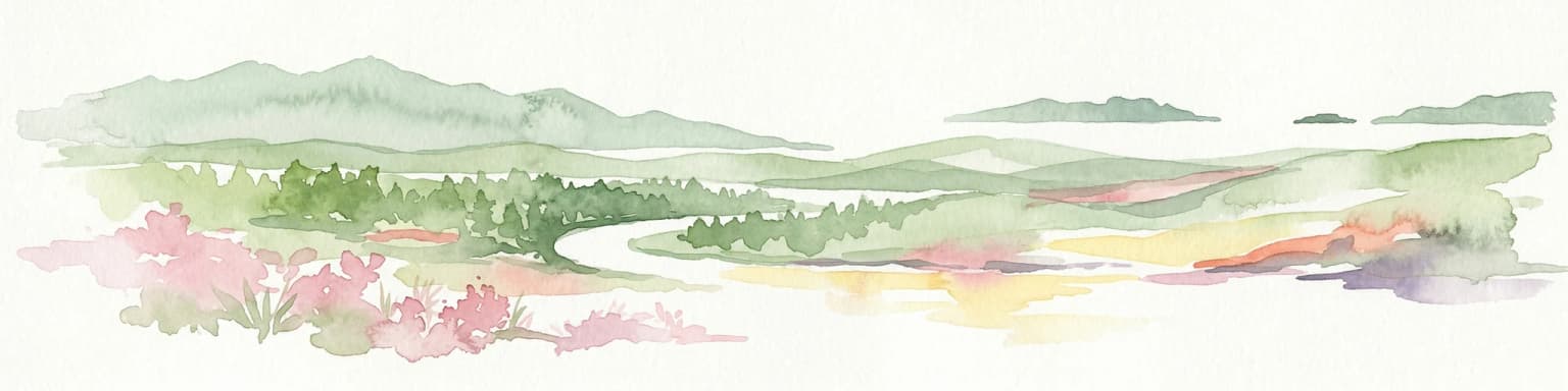
Watercolor illustration of a forested landscape with pink flowering plants, a winding river, and mountain ranges in the background
National parkCameroon
About 340 km away#11 closest

Southwest

Korup National Park: Cameroon's Ancient Tropical Rainforest Protected Area Exploration

Explore its rich biodiversity and unique geographic landscape.

Korup National Park is a significant protected area in Cameroon, covering 1,260 square kilometers of what is considered one of Africa's oldest and most biodiverse tropical rainforests. Established in 1986, this national park is renowned for its exceptional primate populations, extensive plant species, and its role as a critical conservation landscape. The park's terrain transitions from lowlands to hilly areas, with a dense network of streams, offering a rich subject for geographic and protected-area study.

Area
1,260 km²
Established
1986
IUCN
II
Relief
Mixed relief
National parkCameroon
About 342 km away#12 closest

East

Bouba Njida National Park: A Protected Landscape within Cameroon's National Park Atlas

Discover its mapped geography and regional context.

Bouba Njida National Park represents a key component of Cameroon's protected lands, contributing essential context to any atlas of Central African geography. As a designated national park, it offers a distinct focus for understanding mapped landscape features and the distribution of protected areas within the country. This park serves as a vital point of reference for exploring the nation's natural terrain and its significance within the broader context of regional conservation efforts.

Area
2,200 km²
Established
1980
IUCN
II
Relief
Upland
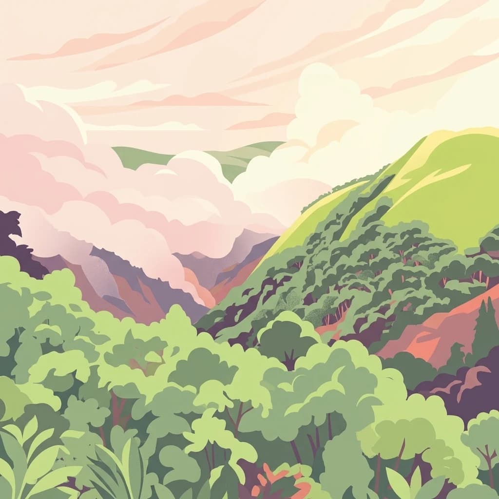
A digital illustration showing a lush green mountain landscape with dense rainforest slopes, soft pink clouds, and distant ridges under a pale sky.
National parkCross River State
About 364 km away#13 closest

Southwest

Cross River National Park National Park: Mapped Protected Landscape and Regional Geography

Explore the geographic features and protected area context.

Cross River National Park represents a key protected area within Nigeria, offering valuable insights into its specific landscape and regional geographic setting. This entry focuses on the park's identity as a national park, detailing its mapped boundaries and its role within the broader geography of Cross River State. Users can engage with structured data to understand the park's physical context and its significance as a protected natural landscape, supporting detailed atlas-based exploration.

Area
4,000 km²
Established
1991
IUCN
II
Relief
Mixed relief
National parkCameroon
About 421 km away#14 closest

Southwest

Douala-Edéa National Park: Coastal Mangrove and Tropical Forest Protected Landscape

Explore Cameroon's vital protected national park geography.

Douala-Edéa National Park is a protected national park in Cameroon's Littoral Region, defined by its extensive coastal geography where tropical lowland equatorial forests merge with significant Atlantic mangrove ecosystems. This area, encompassing roughly 2,715 square kilometers along the Bight of Biafra and the Sanaga River estuary, offers rich context for understanding Central Africa's coastal protected lands and diverse natural landscapes.

Area
2,715.12 km²
Established
2018
IUCN
II
Relief
Lowland
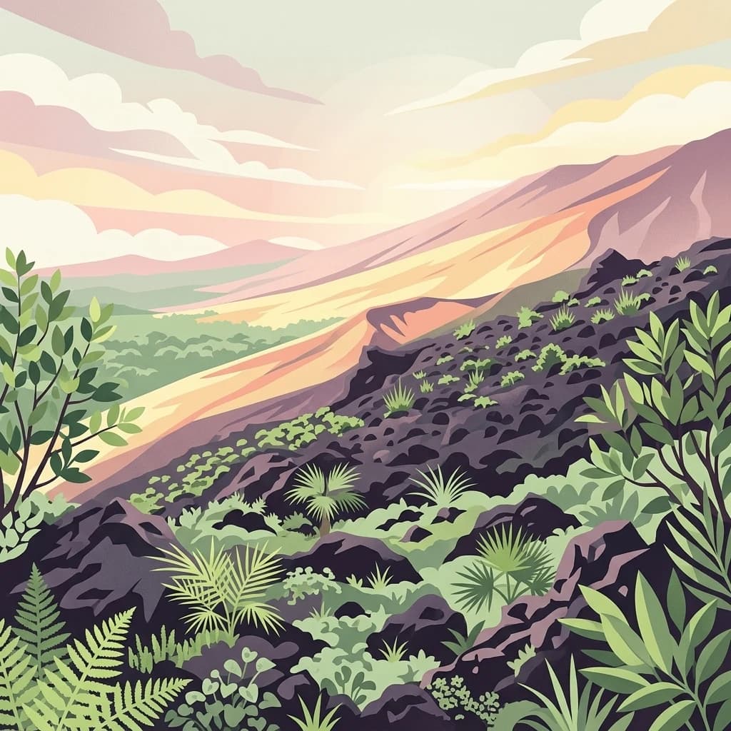
Stylized digital illustration showing a volcanic mountain slope with dark, rocky terrain interspersed with lush green tropical plants, palms, and ferns, overlooking a sunlit valley at dawn or dusk.
National parkCameroon
About 433 km away#15 closest

Southwest

Mount Cameroon National Park

Explore its protected landscape and mapped terrain.

Mount Cameroon National Park, in Cameroon.

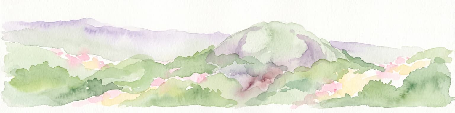
A horizontal watercolor painting showing rolling green hills and a central rocky outcrop against a soft background.
National parkExtrême-Nord
About 455 km away#16 closest

Northeast

Parc national de Ma Mbed Mbed: Geography and Protected Landscape Map Details

Extrême-Nord savanna buffer and transboundary conservation corridor.

Parc national de Ma Mbed Mbed is a key protected area covering 181 square kilometers of transitional savanna in Cameroon. Its location at the edge of the Sahelian zone creates a unique ecological interface, supporting critical elephant corridors and complex water-dependent vegetation patterns that feed into transregional river basins.

Area
181 km²
Established
2009
IUCN
II
Relief
Lowland
National parkFar North Region
About 463 km away#17 closest

Northeast

Waza National Park: A Designated Protected Landscape in the Far North Region

Mapped Boundaries and Regional Geographic Context

Waza National Park stands as a vital protected natural landscape in Cameroon's Far North Region. This entry provides a deep dive into its mapped protected-area boundaries and its significance within the broader regional geography. Explore the specific landscape identity of this national park through an atlas-focused lens, understanding its terrain and context without travel logistics or visitor advice.

Area
1,700 km²
Established
1934
IUCN
II
Relief
Lowland
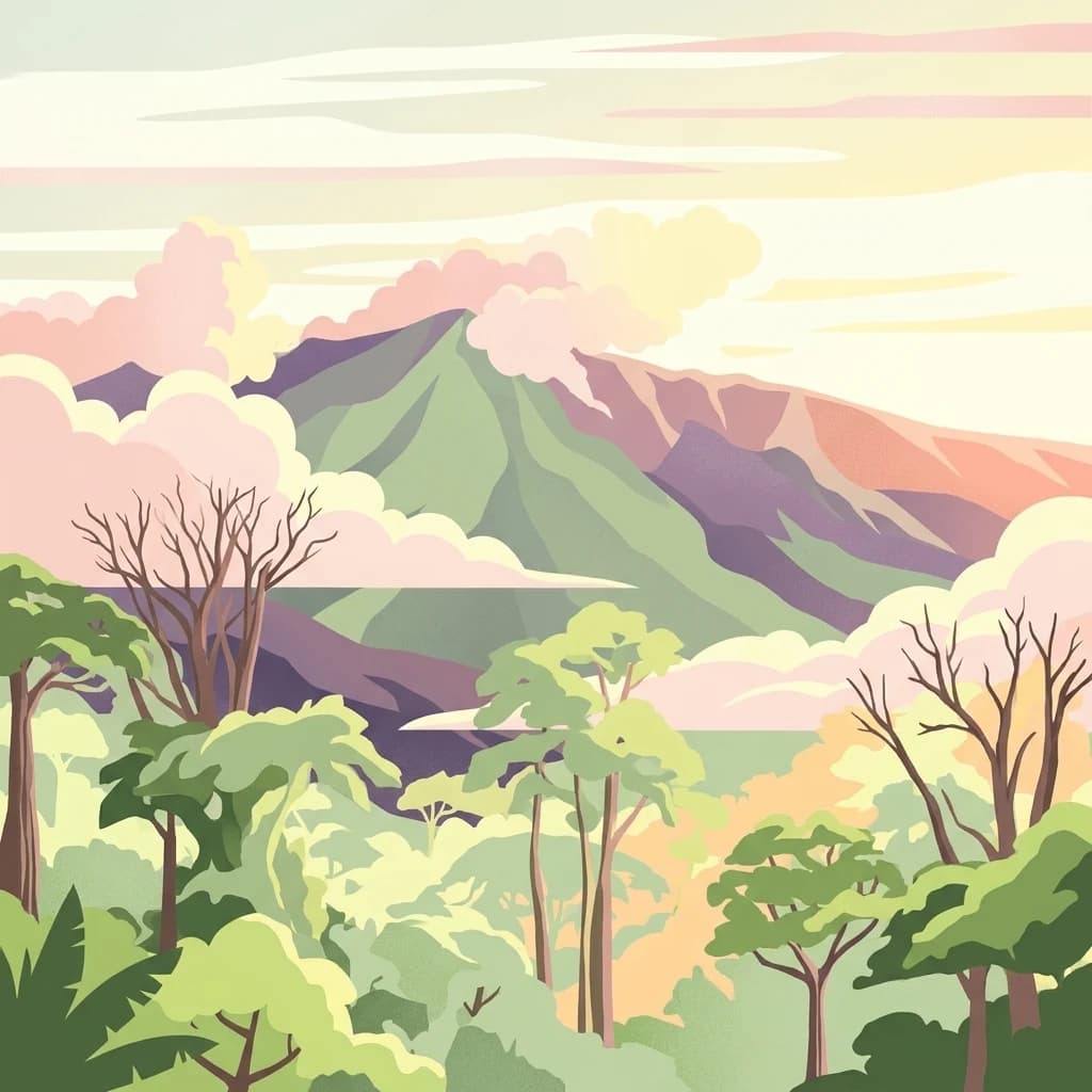
A stylized illustration of a green mountain peak rising above a dense tropical forest with soft, pastel-colored clouds.
National parkBioko Norte
About 516 km away#18 closest

Southwest

Pico Basilé National Park: Volcanic Peak National Park and Protected Landscape

Explore Bioko Norte's unique montane terrain and rich avifauna.

Pico Basilé National Park is a critical conservation zone encompassing Equatorial Guinea's highest point, Pico Basilé volcano. This national park protects unique montane forest ecosystems and their diverse inhabitants, including several threatened primate species and a significant bird population, making it a key protected area on Bioko Island. Understand its geographic setting within Bioko Norte and its role as a vital natural landscape.

Area
300 km²
Established
2000
IUCN
II
Relief
Mountain
Distance methodology

Geographic measurements, not driving distances

How nearby park distances are calculated

Distances use park boundaries whenever the available geometry allows it. When one or both boundaries are missing, the mapped park locations provide a clearly labelled estimate. Every value represents straight-line geographic separation and does not use roads or routing.

Boundary distance

Calculated between the nearest points of both park boundaries.

Location-to-boundary estimate

Estimated from one mapped park location to the nearest boundary of the other park.

Mapped-location estimate

Estimated between the mapped locations of both parks.

MoriAtlas Explorer

Explore the Geographic Boundaries and Terrain of Gashaka-Gumti National Park

Dive into the complex landscape of Nigeria's premier protected area through the MoriAtlas framework. Analyze the topographical transition from northern savanna to southern montane peaks and visualize the critical watershed structures that define this vast wilderness.