Mori Atlas logo
Nearby park discovery

Regional mapping of protected areas and coastal wetland geography in eastern Sharjah

Parks and Protected Landscapes Near Khor Kalba Nature Reserve in the United Arab Emirates

Identify protected areas and natural reserves surrounding Khor Kalba Nature Reserve through mapped regional geography. This resource provides geographic context for coastal wetlands, tidal creeks, and mangrove ecosystems located across the eastern territory of the United Arab Emirates.

Related tags

Mangrove ecosystemCoastal wetlandUAE protected areaEastern coast SharjahTidal creeks

Coastal mangrove sanctuary on the UAE's east coast

Khor Kalba Nature Reserve

Khor Kalba Nature Reserve is a protected coastal area located in the emirate of Sharjah on the eastern coast of the United Arab Emirates. The reserve centers around a network of mangrove forests and tidal creeks, representing one of the few remaining mangrove ecosystems in the country. The area holds ecological significance as a coastal wetland habitat that supports specialized flora and fauna adapted to the mix of saltwater and freshwater conditions found in this part of the Arabian Gulf region.

Location
United Arab Emirates
Park type
Nature reserve
Khor Kalba Nature Reserve protected area atlas
Regional park map

See the ranked park cluster in its geographic setting

Nearby parks around Khor Kalba Nature Reserve

This regional map shows the same 20 nearby parks ranked below around Khor Kalba Nature Reserve. Select a ranked marker to highlight that park’s boundary where boundary data is available.
Reference park: Khor Kalba Nature ReserveRanked nearby park20 nearby parks shown
20 nearby parks

Explore distance-ranked protected areas and surrounding regional park geography near Khor Kalba Nature Reserve.

Parks and Protected Areas Geographically Near Khor Kalba Nature Reserve

Browsing parks near Khor Kalba Nature Reserve reveals structured geographic separations and measured distances across surrounding regional landscapes. Analyzing these nearby protected areas provides valuable context on regional conservation patterns without implying uniform environmental conditions.
National parkUnited Arab Emirates
About 46 km away#1 closest

North
Wadi Wurayah National Park National Park: Mapped Protected Landscape and Geographic Context

Explore the mapped boundaries and regional geography of Wadi Wurayah National Park.

Wadi Wurayah National Park stands as a significant national park, offering a focused area for exploring protected lands. This page provides essential details about its landscape characteristics and geographic positioning, framed for atlas-driven discovery. Understand the park's protected-area identity and its contribution to regional geographic context, making it a valuable entry for anyone mapping natural landscapes or investigating conservation areas.

Nature reserveDubai
About 76 km away#2 closest

West

Dubai Desert Conservation Reserve: Nature Reserve, Mapped Geography, and Protected Landscape Context

Explore the natural terrain and conservation atlas of this UAE protected area.

This page details the Dubai Desert Conservation Reserve, a designated nature reserve situated within the geographic scope of Dubai, United Arab Emirates. Dive into its mapped boundaries, understand its role as a protected landscape, and gain insight into its unique natural terrain. MoriAtlas provides structured data to explore the park's place within regional geography and the broader atlas of protected areas.

Area
225 km²
Established
2003
Relief
Lowland
Climate
Arid
Nature reserveEmirate of Dubai
About 76 km away#3 closest

West

Al Wohoosh Desert Conservation Reserve Nature Reserve: Mapped Protected Landscape

Desert terrain and geographic context in the Emirate of Dubai.

Delve into the Al Wohoosh Desert Conservation Reserve, a key protected natural area situated in the Emirate of Dubai. This entry focuses on its mapped geography, showcasing the desert landscape and its protected boundaries. Gain structured insights into its role as a nature reserve and its contribution to understanding regional conservation landscapes and mapped terrain.

Area
15.06 km²
Established
2014
Relief
Lowland
Climate
Arid
Nature reserveDubai
About 102 km away#4 closest

West

Al Marmoom Desert Conservation Reserve: Nature Reserve and Desert Landscape in Dubai

Mapped Geography and Protected Area Context

Explore the Al Marmoom Desert Conservation Reserve, a designated nature reserve located near Dubai. This protected area is crucial for understanding the region's desert geography and landscape. MoriAtlas provides detailed mapping and geographic context, allowing for in-depth study of its protected boundaries and its significance within the UAE's conservation landscape.

Area
0.4 km²
Established
2018
Relief
Lowland
Climate
Arid
Nature reserveDubai
About 107 km away#5 closest

West

Ras Al Khor Nature Reserve: Explore Dubai's Key Protected Landscape and Geographic Features

Mapped natural reserve boundaries and regional context in Dubai.

Delve into Ras Al Khor, a protected nature reserve offering a unique perspective on Dubai's natural geography. This detail entry focuses on its status as a protected landscape, providing clear atlas-style information about its mapped extent and its role within the regional environmental context. Understand the geographic significance of Ras Al Khor as a key area for exploring conservation landscapes within the UAE.

Area
13 km²
Established
1998
Visitors
90K annual
Relief
Lowland
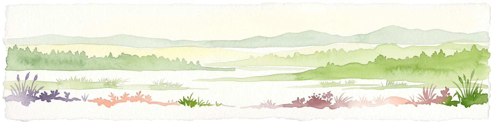
A watercolor painting showing a wide coastal scene with green low-lying hills in the distance, a calm body of water in the middle, and varied vegetation in the foreground.
Nature reserveMuscat Governorate
About 215 km away#6 closest

Southeast

Ad Dimaniyat Islands Nature Reserve: Protected Archipelago and Marine Biodiversity Map

Archipelago landscape and marine protected area in Muscat Governorate.

The Ad Dimaniyat Islands represent a critical nature reserve composed of nine distinct islands in the Gulf of Oman. The archipelago is known for its rare coral formations, nesting beaches for endangered sea turtles, and its role as a breeding site for various seabird species. This protected landscape combines complex underwater reef habitats with rocky and sandy terrain, forming a significant ecological zone within the Muscat Governorate.

Area
1 km²
Relief
Lowland
Access
Moderate access
Scope
Marine
A watercolor painting depicting a soft-toned mountain landscape with muted greens, pinks, and yellows, showing rolling hills and gentle peaks.
Nature reserveAd Dakhiliyah Governorate
About 235 km away#7 closest

Southeast

Jebel Akhdar Mountains Nature Reserve: An Atlas of Oman's High Altitude Protected Landscapes

Geographic analysis of the Ad Dakhiliyah mountain massif

The Jebel Akhdar Mountains represent a critical protected nature reserve defined by dramatic limestone cliffs, deep wadis, and centuries of terraced agriculture. This elevated massif within the Ad Dakhiliyah Governorate sustains a rare montane ecology that serves as a cornerstone of regional Omani geography and environmental conservation.

Established
2011
Relief
Mountain
Climate
Arid
Access
Moderate access
A soft watercolor painting of a tropical coastal landscape featuring a calm bay, low rolling hills in the background, and clusters of palm trees.
Nature reserveMuscat Governorate
About 263 km away#8 closest

Southeast

Qurm Nature Reserve: Protected Mangrove Ecosystems and Coastal Geography in Muscat

Coastal wetlands and avian habitats of the Gulf of Oman

Qurm Nature Reserve serves as a critical protected landscape within the Muscat Governorate, preserving expansive mangrove forests and intricate tidal channels. The reserve functions as a hub for coastal biodiversity, supporting numerous migratory bird species and maintaining ecological health within a major urban center. Explore the mapped boundaries and natural features of this significant wetland protected area.

Area
1.72 km²
Established
1975
IUCN
IV
Relief
Lowland
Wildlife reserveOman
About 411 km away#9 closest

Southeast

Al Saleel National Park: A Protected Acacia Forest Wildlife Reserve in Oman

Explore its unique landscape and protected area geography.

Al Saleel National Park in Oman is distinguished by its exceptional acacia forest ecosystem, a scarce habitat type across the Arabian Peninsula. Covering 220 square kilometers, this wildlife reserve serves as a crucial sanctuary for at-risk species like the Arabian gazelle and the endemic Omani wild cat. Its landscape offers a compelling study of arid zone forest ecology and protected area management, providing valuable context for understanding Oman's commitment to natural heritage and conservation within its regional geography.

Area
220 km²
Climate
Arid
Scope
Terrestrial
Water
No major water
National parkIran
About 470 km away#10 closest

North

Khabr National Park: Protecting Iran's Montane Terrain and Landscapes

Explore its mapped boundaries and geographic significance.

Khabr National Park represents a vital protected area within Iran's Kerman Province, specifically recognized for its rugged mountainous terrain. Situated in a region known for its topographic complexity, the park serves as a conservation focus for the montane ecosystems characteristic of southeastern Iran. Understanding Khabr National Park offers insight into the mapped landscapes and regional geography of the Zagros foothills, highlighting its importance as a protected natural asset.

IUCN
II
Access
Access unknown
Scope
Terrestrial
Season
Seasonal
Wildlife reserveQatar
About 525 km away#11 closest

West

Al Wabra Wildlife Preservation Wildlife Reserve: Geographic Atlas and Landscape Context in Qatar

Mapped protected area for atlas discovery.

Delve into the specific geographic identity of Al Wabra Wildlife Preservation, a vital wildlife reserve located in Qatar. This dedicated page offers an atlas perspective on its mapped boundaries and its role within the broader landscape of the Arabian Peninsula. Understand the protected-area context and the unique natural geography that defines this significant Qatari conservation landscape, providing a foundation for structured geographic exploration.

Area
2.5 km²
Climate
Arid
Access
Highly restricted
Scope
Terrestrial
National parkQatar
About 526 km away#12 closest

West

Umm Tais National Park: A Protected National Park in Qatar for Geographic Exploration

Discover its mapped boundaries and regional landscape context.

Umm Tais National Park represents a key protected landscape entity within Qatar, serving as a focal point for understanding the nation's conservation efforts and regional geography. As a designated national park, it offers valuable context for atlas exploration, allowing users to trace its protected boundaries and appreciate its place within the natural terrain of the Arabian Peninsula. This page provides structured information to support discovery of the park's unique environmental identity and its contribution to Qatar's mapped protected areas.

Established
2006
Relief
Lowland
Scope
Mixed
Water
Major water bodies
National parkIran
About 545 km away#13 closest

Northwest

Bakhtegan National Park: Protected Wetland Ecosystem and Migratory Bird Sanctuary in Iran

Mapped landscape context and regional geography of Iran's vital protected area.

Bakhtegan National Park is a key protected area in Iran, historically recognized for its expansive shallow lake basin and role as a critical wetland ecosystem. This park served as a major sanctuary for migratory waterfowl, particularly flamingos and ducks, earning its designation as a Ramsar Wetland of International Importance. While facing environmental challenges, its landscape provides essential context for understanding arid region hydrology, protected land dynamics, and the geographical significance of wetland conservation within Fars province and the broader Middle East.

IUCN
II
Water
No major water
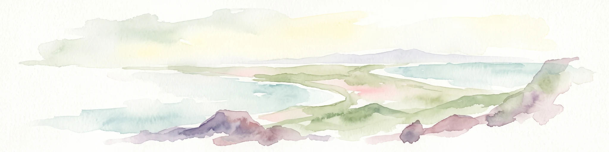
A minimalist watercolor illustration showing a winding river or estuary flowing through green coastal marshlands with soft hills in the background.
Wildlife reserveBalochistan
About 545 km away#14 closest

East

Jiwani Coastal Wetland: Mapped Protected Area and Coastal Geography in Balochistan

A vital mangrove-dominated estuary and wildlife reserve.

Jiwani Coastal Wetland stands as a unique protected reserve within Balochistan, characterized by its mix of brackish lagoons, mangrove swamps, and critical sea turtle nesting beaches. Its geographic position at the Gwatar Bay edge makes it a vital ecological link along the Arabian Sea, offering distinct landscape insights into the intersection of river-fed marshes and arid coastal terrain.

Area
19 km²
Established
2001
Relief
Lowland
Climate
Arid
Biosphere reserveUnited Arab Emirates
About 546 km away#15 closest

West

Al Reem Biosphere Preserve: Protected Landscape Atlas and Geographic Context

Explore mapped boundaries and biosphere reserve status.

Gain a structured understanding of Al Reem Biosphere Preserve, a designated biosphere reserve located in the United Arab Emirates. This resource focuses on its geographic identity, mapped park boundaries, and the atlas-value of understanding protected landscapes. Explore the natural terrain context and its role as a significant conservation area within the UAE, providing essential data for geographic discovery.

Area
1,200 km²
Established
2005
Relief
Lowland
Climate
Arid
A watercolor painting of soft, layered hills in shades of green, yellow, and muted pink against a white background.
Marine protected areaBalochistan
About 753 km away#16 closest

East

Astola Island Marine Protected Area: Geography and Coastal Landscape in Balochistan

Remote island plateau and offshore protected ecosystem

Trace the fractured terrain and limestone cliffs of Astola Island, a significant marine protected area located off the coast of Balochistan. This uninhabited island serves as a critical habitat for seabirds, reptiles, and sea turtles, marking a rare convergence of geological and ecological importance within the northern Arabian Sea.

Area
6.7 km²
Established
2017
Relief
Upland
Climate
Arid
A soft watercolor illustration of a coastal landscape with rocky terrain in the foreground and a calm bay in the distance.
Wildlife reserveBalochistan
About 833 km away#17 closest

East

Ormara Turtle Beaches Wildlife Reserve: Mapping Coastal Protected Habitats in Balochistan

Coastal sandy terrain and protected marine nesting environments

Examine the geography of Ormara Turtle Beaches, a 10 km protected sandy coastline on the Arabian Sea. The reserve offers clear insights into the marine-focused ecosystems and arid landscape character found along the Balochistan Makran coast, serving as a primary site for turtle nesting research and coastal conservation mapping.

Area
24 km²
Established
2001
Relief
Lowland
Climate
Subtropical
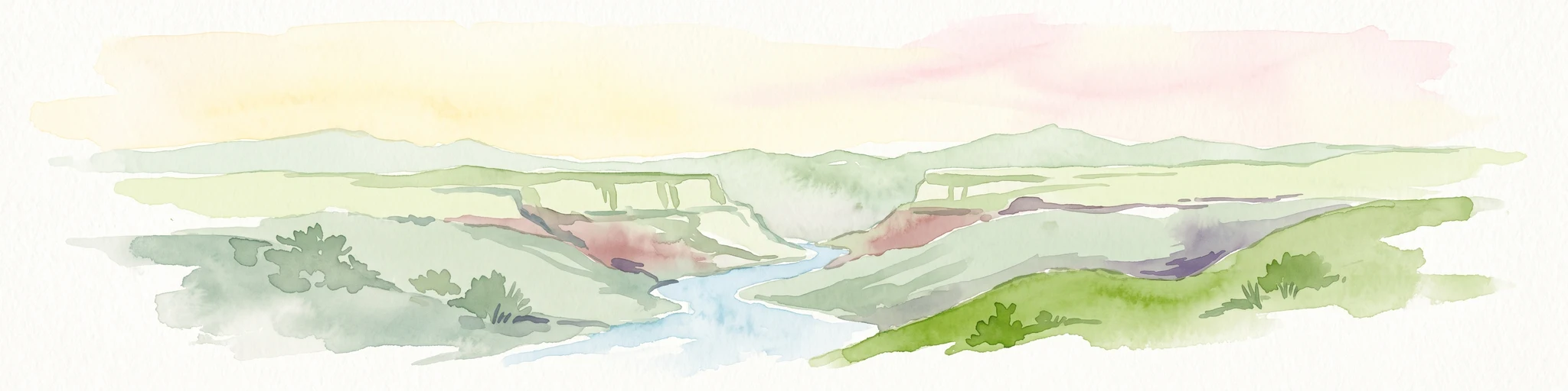
A watercolor painting showing a panoramic view of rolling hills and a winding valley in light, muted greens and earth tones.
Nature reserveDhofar Governorate
About 842 km away#18 closest

South

Jabal Samhan Nature Reserve: Mountain Geography and Protected Area Exploration

Rugged arid terrain in the Dhofar Governorate of southern Oman

Jabal Samhan Nature Reserve represents one of the most significant protected wilderness areas in Oman. Spanning vast escarpments and deep valleys, the reserve acts as a critical mountain habitat that supports a rare community of predators and prey. Explore the geographic boundaries and terrain features that define this remote stronghold within the Dhofar Mountains, a key anchor for conservation in the region.

Area
4,500 km²
Relief
Mountain
Water
Minor water
National parkBalochistan
About 878 km away#19 closest

East

Hingol National Park: Pakistan's Unique Protected Landscape and Geological Atlas

Discover dramatic rock formations and coastal geography.

Hingol National Park stands as a monumental protected landscape within Balochistan, Pakistan, offering an unparalleled atlas view of geological diversity. Renowned for its hoodoos like the Princess of Hope and the Balochistan Sphinx, the park also features active mud volcanoes and striking coastal semi-desert terrain. The confluence of the Hingol River with the Arabian Sea creates important wetland habitats. This national park provides a rich context for exploring unique natural formations and regional geography, making it a significant point of discovery within Pakistan's protected areas.

Area
6,100 km²
Established
1988
IUCN
II
Relief
Mixed relief
Protected areaBalochistan
About 992 km away#20 closest

East

Miani Hor Protected Area: Coastal Lagoon Mapping and Regional Geography in Balochistan

Coastal lagoon and unique mangrove wetland ecosystem

Miani Hor functions as a major tidal lagoon and protected wetland along the Balochistan coast. The area is defined by its extensive mangrove forests and connection to the Arabian Sea, providing a essential study in estuarine geography and wetland conservation within the Lasbela District.

Area
74.71 km²
Established
2001
Relief
Lowland
Scope
Mixed
Distance methodology

Geographic measurements, not driving distances

How nearby park distances are calculated

Distances use park boundaries whenever the available geometry allows it. When one or both boundaries are missing, the mapped park locations provide a clearly labelled estimate. Every value represents straight-line geographic separation and does not use roads or routing.

Boundary distance

Calculated between the nearest points of both park boundaries.

Location-to-boundary estimate

Estimated from one mapped park location to the nearest boundary of the other park.

Mapped-location estimate

Estimated between the mapped locations of both parks.

MoriAtlas Explorer

Continue Exploring Khor Kalba Nature Reserve's Protected Landscape and Geography

Deepen your understanding of Khor Kalba Nature Reserve by examining its specific mapped boundaries and the surrounding natural terrain. Discover how this protected coastal wetland contributes to the broader atlas of conservation landscapes within the United Arab Emirates. Further exploration reveals the unique ecological characteristics that define this vital natural area and its place in regional geography.