Mori Atlas logo
Nearby park discovery

Compare protected geography around ancient forests, three lakes, and mountains

Map protected-area relationships around Killarney National Park across Ireland's lake country

Killarney National Park is organized around Lough Leane, Muckross Lake, Upper Lake, and their many islands, enclosed by ancient oak and yew woods, lakeshore forest, sandstone mountains, limestone pavement, blanket bog, heath, and marsh. The nearby map extends across Ireland while preserving each protected area's designation, waterways, and habitat evidence.

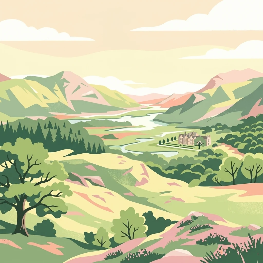
Illustrated landscape showing green hills, mountains, a river, and forested areas with a building in the valley

Ireland's first national park, protecting ancient oak and yew woodlands, wild red deer herds, and the iconic Lakes of Killarney

Killarney National Park

Killarney National Park occupies a remarkable position in southwest Ireland as the nation's inaugural national park, established in 1932 when the Muckross Estate was gifted to the Irish Free State. The park encompasses over 100 square kilometers of diverse landscapes centered around the three Lakes of Killarney, with elevations ranging from lake level up to 842 meters at Mangerton Mountain. Its ecological significance stems from the extensive old-growth oak and yew woodlands, some of Europe's finest, alongside blanket bogs, mountain terrain, and wetlands that support exceptional biodiversity. The park was designated a UNESCO Biosphere Reserve in 1981, recognizing its importance as a refuge for rare species and distinctive Atlantic biogeographic flora. The park is particularly distinguished by hosting Ireland's only remaining wild herd of native red deer, a population descending from animals present since the post-glacial period approximately 4,000 years ago. The ancient woodlands represent the most extensive native forest remaining in Ireland, with the oak woods internationally recognized for their rich bryophyte communities and the yew woodland at Reenadinna constituting one of just three pure yew woodlands in Europe. The park's location near Ireland's western coast, influenced by Gulf Stream currents, creates a mild oceanic climate that supports species with hiberno-lusitanean distributions found nowhere else in Ireland, a biogeographic pattern more typical of northern Spain and Portugal.

Location
Ireland
Park type
National park
Established
1932
Area
102.9 km²
Killarney National Park Protected Area
Regional park map

See the ranked park cluster in its geographic setting

Nearby parks around Killarney National Park

This regional map shows the same 20 nearby parks ranked below around Killarney National Park. Select a ranked marker to highlight that park’s boundary where boundary data is available.
Reference park: Killarney National ParkRanked nearby parkSelected boundary: Killarney National Park20 nearby parks shown
20 nearby parks

Geographic separation, directional context, and regional protected-landscape comparison signals

Ranked Protected Areas and Surrounding Parks Near Killarney National Park

Examine distance-ranked protected areas located near Killarney National Park using direct geographic measurements and mapped boundary coordinates. Compare surrounding regional ecosystems, terrain variations, and country contexts to understand broader conservation patterns across the territory.
National parkIreland
106 km away#1 closest

North

Burren National Park: A Distinctive Karst Protected Landscape in County Clare

Explore its unique limestone pavement and geological formations.

Burren National Park offers a profound exploration of karst geology, featuring Ireland's most extensive and visually striking limestone pavement. The park's terrain displays a unique mosaic of exposed rock, swallow holes, and surprising pockets of vegetation, including rare Arctic-alpine and Mediterranean flora. As a protected national park, it preserves this scientifically significant landscape and offers a window into the dynamic interplay of geological forces and ecological adaptation within Western Ireland's regional geography.

Area
15 km²
Established
1991
IUCN
II
Relief
Mountain
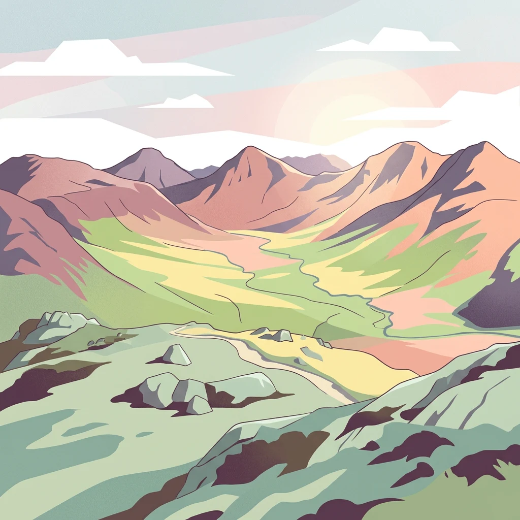
Stylized illustration of mountainous landscape with colorful terrain, valley, and winding path under a partly cloudy sky
National parkCounty Galway
About 164 km away#2 closest

North

Connemara National Park: A Mapped Protected Landscape in County Galway

Explore national park geography and protected terrain details.

Delve into Connemara National Park, a distinct national park located in the western region of County Galway, Ireland. This entry serves as a gateway to understanding its protected landscape, mapped boundaries, and its role within the broader geographic context of Connacht. Explore how this protected area contributes to the diverse natural terrain of Ireland, viewed through an atlas-driven discovery lens.

Area
20 km²
Established
1980
IUCN
II
Relief
Mountain
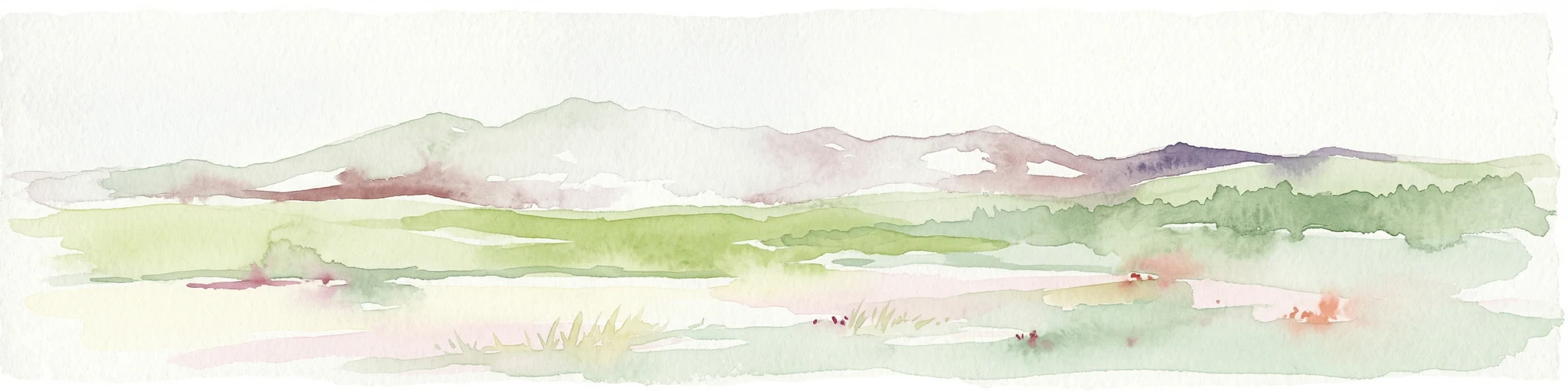
Watercolor illustration of a coastal landscape with green fields and distant mountains.
National parkCounty Kerry
About 164 km away#3 closest

North

Páirc Náisiúnta na Mara National Park: Protected Landscape Atlas for County Kerry

Explore mapped protected areas and regional geography.

This entry details Páirc Náisiúnta na Mara National Park, offering insights into its protected landscape character and geographic setting within County Kerry. As a significant protected area, it contributes to the atlas of Southwest Ireland, providing context for its natural terrain and mapped boundaries. Discover the park's unique identity and its position within the broader regional geography for structured exploration.

Area
280 km²
Established
2024
IUCN
II
Relief
Mixed relief
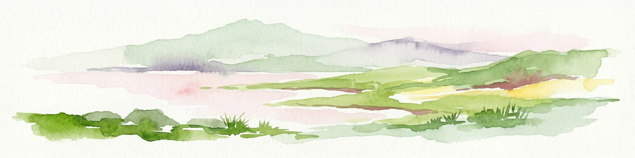
Watercolor illustration of a mountainous landscape with green fields in the foreground and distant mountains under a pale sky
National parkCounty Mayo
209 km away#4 closest

North

Wild Nephin National Park: Ireland's Protected Landscape in County Mayo

National Park with regional geographic context.

Explore Wild Nephin National Park, a significant protected area situated in County Mayo, Ireland. This entry focuses on the park's mapped boundaries and its unique natural terrain, offering a clear geographic perspective. Understand how this national park contributes to the diverse landscapes of western Ireland and serves as a key point for atlas-based discovery of protected lands.

Area
150 km²
Established
1998
IUCN
II
Climate
Temperate
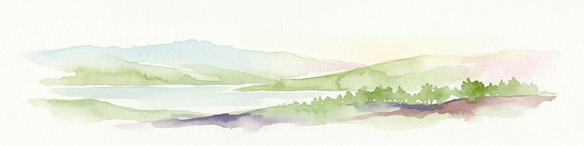
Watercolor illustration of a landscape with mountains, a lake, and trees
National parkCounty Wicklow
225 km away#5 closest

Northeast

Wicklow Mountains National Park: Protected Landscape and Geographic Atlas Mapping

Explore County Wicklow's mapped natural terrain and park boundaries.

Understand the geographic scope and protected landscape identity of Wicklow Mountains National Park. This page offers detailed information on its mapped boundaries and its context within County Wicklow, providing a foundation for atlas-based discovery of Ireland's natural areas. Explore how this national park contributes to the region's mapped geography and conservation landscapes.

Area
205 km²
Established
1991
IUCN
II
Relief
Mountain
Nature reserveCounty Fermanagh
About 272 km away#6 closest

Northeast

Crom Estate Nature Reserve and Upper Lough Erne Geographic Landscape Overview

Riparian forest and island geography in County Fermanagh

Deeply connected to the shores of Upper Lough Erne, Crom Estate is a sprawling nature reserve defined by its ancient riparian woodlands and intricate maze of bays and islands. The terrain preserves a distinct mix of old-growth forest, open grassland, and historic castle ruins, providing a valuable case study in the regional geography of County Fermanagh and the conservation of water-influenced ecosystems.

Area
5.5 km²
Established
1987
Relief
Lowland
Climate
Temperate
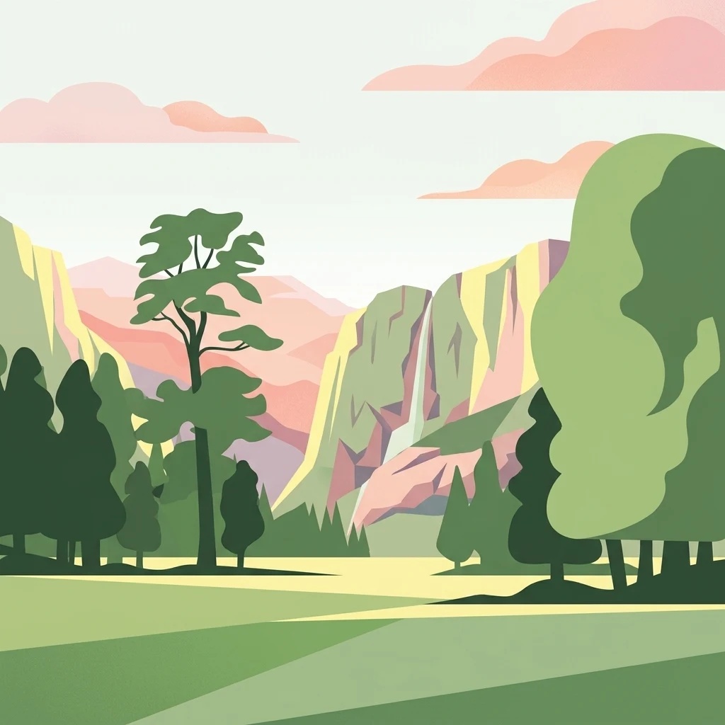
An illustration of a green meadow in the foreground with forest, steep cliffs, and a narrow waterfall in the background under a pale sky with soft pink clouds.
National parkCounty Meath
About 276 km away#7 closest

Northeast

Boyne Valley National Park: Protected River Floodplains and Neolithic Landscapes

Geographic atlas overview for County Meath, Ireland

Boyne Valley National Park encompasses a significant riparian corridor along the River Boyne, serving as a sanctuary for diverse freshwater species and a guardian of major megalithic monuments. This protected area offers insight into the confluence of Irish ecological preservation and prehistoric archaeological heritage within a managed, low-lying floodplain setting.

Area
2.23 km²
Established
2023
IUCN
II
Relief
Lowland
National parkPembrokeshire
284 km away#8 closest

East

Pembrokeshire Coast National Park: Mapped Coastal Boundaries and Protected Landscape Atlas

Explore unique seaside terrain and regional geography.

Delve into the Pembrokeshire Coast National Park, a premier protected landscape recognized for its extraordinary coastal formations and diverse natural terrain. This atlas entry details the park's distinct mapped boundaries, from its iconic limestone cliffs and sea stacks to its sheltered estuaries and inland Preseli Hills. Understand how this significant national park contributes to the protected area map of Pembrokeshire and offers unparalleled opportunities for geographic discovery along the Welsh coast.

Area
629 km²
Established
1952
IUCN
V
Relief
Mixed relief
Protected landscapeCounty Fermanagh
About 294 km away#9 closest

Northeast

Castle Archdale Protected Landscape in County Fermanagh: Geography and Map Overview

Lakeside woodland and historic terrain on Lower Lough Erne

Located on the shores of Lower Lough Erne, Castle Archdale represents a unique protected landscape in County Fermanagh. The area features a complex mosaic of sheltered inlets, mature woodland, and open parkland that characterises the Fermanagh lakelands. Beyond its physical terrain, the site is defined by its historical significance, from seventeenth century estate remnants to its role as a pivotal wartime flying boat base, providing a rich context for geographic and environmental exploration.

Relief
Lowland
Climate
Temperate
Access
Easy access
Scope
Terrestrial
Watercolor illustration of a mountainous landscape with a lake and forests
National parkCounty Donegal
328 km away#10 closest

North

Glenveagh National Park: A Protected Landscape in the Heart of County Donegal

Mapped geography and natural terrain for Ireland's national park.

Delve into the geographic specifics of Glenveagh National Park, a protected area situated in County Donegal. This section provides detailed information on its mapped boundaries and regional landscape context. Understand how this national park fits within the natural geography of Ulster, offering a structured atlas view for detailed exploration of its unique terrain and protected status.

Area
169.58 km²
Established
1986
IUCN
II
Relief
Mixed relief
Nature reserveNorthern Ireland
About 342 km away#11 closest

Northeast

Oxford Island National Nature Reserve: Protected Wetland Landscapes of Northern Ireland

Lakeshore habitats and woodland geography at Lough Neagh

Oxford Island is a prominent nature reserve where terrestrial woodland meets the expansive waters of Lough Neagh. The site showcases a transition of reed beds and meadows that serve as vital ecological assets within the regional geography of Northern Ireland, offering a dense, accessible look at lowland wetland environments.

Area
1.14 km²
Relief
Lowland
Climate
Temperate
Access
Easy access
A pale, minimalist watercolor painting showing soft green hills and a gentle shoreline against a white background.
Protected landscapeCornwall
About 343 km away#12 closest

Southeast

Gwennap Head Protected Landscape: Coastal Geography and Granite Cliffs in Cornwall

Mapped Atlantic terrain and regional maritime boundaries

Located at the western edge of the Penwith peninsula, Gwennap Head defines a harsh yet productive coastal environment. This protected landscape features vertical granite cliffs, the treacherous Runnel Stone reef, and open maritime heath. Its geography serves as a vital watchpoint for migratory seabirds and a nexus of historic maritime activity, offering a well defined study of Cornwall's exposed Atlantic coastline.

Relief
Upland
Climate
Temperate
Access
Easy access
Scope
Mixed
Watercolor painting of soft, rolling green hills and dunes with purple mountain peaks in the distance against a white background.
Nature reserveCounty Down
About 344 km away#13 closest

Northeast

Murlough Nature Reserve: Coastal Dune and Heathland Atlas of County Down

A historic protected peninsula along the shores of Dundrum Bay.

Located in County Down, Murlough Nature Reserve stands as the largest dune heathland in Ireland. This protected landscape encompasses a complex system of sand dunes and open heath, set against the backdrop of the Mourne Mountains. The reserve provides a unique vantage point for understanding coastal geomorphology, invertebrate-rich habitats, and the long-term interaction between shoreline dunes and upland mountainous geography.

Area
2.82 km²
Established
1967
Relief
Lowland
Climate
Temperate
A watercolor illustration featuring soft, abstracted layers of green hills, a light blue horizon, and subtle pink and earthy tones representing land and water.
Protected areaCornwall
About 351 km away#14 closest

Southeast

River Gannel Protected Area: Cornwall Coastal Estuary and Marine Conservation Zone

Mapped tidal channels and coastal landscape geography in Cornwall

River Gannel provides a focal point for understanding the tidal geography of northern Cornwall. From its inland source to the dynamic estuary separating Newquay and Crantock, the area features protected marine habitats, sand dunes, and deep-rooted industrial heritage. This record details the physical boundaries and ecological significance of this coastal landscape as it drains into the Celtic Sea.

Established
2016
Relief
Lowland
Climate
Temperate
Access
Easy access
A soft watercolor illustration depicting a coastal landscape with green marshy vegetation, a calm body of water, and rolling hills in the background.
Marine protected areaCornwall
About 356 km away#15 closest

Southeast

Mounts Bay Marine Conservation Zone: Exploring Marine Protected Areas in South Cornwall

Subtidal reefs and coastal seagrass habitats in the English Channel.

This protected marine landscape off the coast of Cornwall covers diverse underwater habitats including the Greeb reef and the waters surrounding St Michael's Mount. The area is characterized by its significant seagrass beds, which act as vital nursery habitat for fish and shellfish species. Explore the structural geography of this marine protected area and its position within the broader coastal environment of South West England.

Area
12 km²
Established
2016
Relief
Lowland
Climate
Temperate
Nature reserveNorthern Ireland
360 km away#16 closest

Northeast

Ballynahone Bog: Northern Ireland Lowland Raised Peatland and Wetland Geography

Intact active bog dome and protected wetland landscape

Examine the geography of Ballynahone Bog, one of the largest remaining lowland raised bogs in Northern Ireland. This protected landscape preserves an active peat-forming surface, intricate hummock and pool complexes, and marginal fen habitats, offering insight into the ecological history and hydrological patterns of the Lough Neagh lowland region.

Area
2.432 km²
Established
1995
Relief
Lowland
Climate
Temperate
Nature reserveNorthern Ireland
About 365 km away#17 closest

Northeast

Lough Beg Nature Reserve: Mapping the Wetlands and Floodplains of Northern Ireland

An essential protected landscape within the Lough Neagh basin.

Lough Beg provides a distinct geographic study of freshwater ecosystems and alluvial landscapes. As a designated nature reserve, it forms a crucial link in the Lower Bann catchment, characterized by its shallow waters and seasonal pasture flooding. The area serves as a primary hub for migratory bird species, while the historic Church Island offers a unique convergence of early Christian heritage and natural wetland terrain.

Relief
Lowland
Climate
Temperate
Access
Easy access
Scope
Terrestrial
A soft watercolor illustration featuring rolling hills in the background, a tree line in the midground, and a winding waterway in the foreground.
Biosphere reserveDevon
About 366 km away#18 closest

East

North Devon's Biosphere Reserve: Protected Landscapes and Geographic Map Exploration

Coastal dunes, estuaries, and marine habitats in North Devon

An extensive overview of North Devon's Biosphere Reserve, highlighting its role as a protected landscape in South West England. Analyze the distribution of its diverse terrain, including Britain's largest sand dune system, river catchments, and offshore coral reefs, through detailed geographic and habitat mapping.

Area
5,262 km²
Established
1976
Visitors
4M annual
Relief
Lowland
Watercolor illustration of rolling mountains and green valleys with distant peaks
National parkWales
369 km away#19 closest

East

Snowdonia National Park: Protected Landscape and Map Exploration in North Wales

Mountain terrain, glacial lakes, and regional geography.

Snowdonia National Park offers a profound exploration of mountainous protected landscapes in North Wales. This page details the park's mapped boundaries, revealing a terrain shaped by glaciation, featuring dramatic peaks like Snowdon, steep valleys, and pristine glacial lakes. Understand its geographic identity within the United Kingdom and how its protected status contributes to the regional landscape context, providing a unique focus for atlas-based discovery.

Area
2,142 km²
Established
1951
IUCN
V
Relief
Mountain
A soft-toned watercolor painting of the Dyfi estuary in Wales, showing marshy foreground, water, and distant trees under a pale, minimalist sky.
Biosphere reserveWales
About 376 km away#20 closest

East

Dyfi Biosphere: Mapped Protected Landscapes and Coastal Geography in Western Wales

Discover the estuarine wetlands, raised mires, and Atlantic woodlands of a key Welsh biosphere reserve

The Dyfi Biosphere provides a comprehensive look at the geography of a protected coastal region in Wales. Its boundaries encompass diverse terrain ranging from the Ynyslas sand spit and salt marshes to the primary raised mire of Cors Fochno. This landscape functions as a vital wetland system, offering a clear visual representation of dune succession, peatland growth, and temperate Atlantic woodland ecosystems within a single, interconnected, and carefully monitored geographic area.

Area
15.89 km²
Established
1977
Relief
Mixed relief
Climate
Temperate
Distance methodology

Geographic measurements, not driving distances

How nearby park distances are calculated

Distances use park boundaries whenever the available geometry allows it. When one or both boundaries are missing, the mapped park locations provide a clearly labelled estimate. Every value represents straight-line geographic separation and does not use roads or routing.

Boundary distance

Calculated between the nearest points of both park boundaries.

Location-to-boundary estimate

Estimated from one mapped park location to the nearest boundary of the other park.

Mapped-location estimate

Estimated between the mapped locations of both parks.

MoriAtlas Explorer

Continue Your Atlas Exploration of Killarney National Park's Geography

To deepen your understanding of Killarney National Park's protected landscape, delve into its specific geographic features and mapped context. MoriAtlas offers the tools to trace its park boundaries and compare its regional setting, providing a structured approach to exploring Ireland's significant natural areas and enhancing your atlas-based knowledge.