Mori Atlas logo
Nearby park discovery

A geographic comparison of surrounding Arctic landscapes and regional protected zones

National Parks and Protected Wilderness Areas Near Northeast Greenland National Park

Examine the spatial relationship between Northeast Greenland National Park and other surrounding protected areas. This analysis provides a mapped context of the Arctic region, helping to visualize the distribution of wilderness landscapes and the geographic proximity of conserved terrains across the northeastern coast and interior territories.

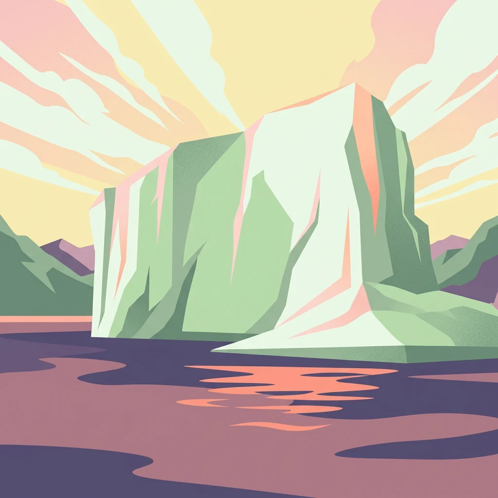
Illustrated iceberg with green and white tones floating in water, with mountains and a pastel sky in the background.

World's largest national park, a vast Arctic wilderness protecting Greenland's northeastern interior and coast

Northeast Greenland National Park

Northeast Greenland National Park stands as the world's largest national park, encompassing an extraordinary 972,000 square kilometers of Arctic wilderness along Greenland's northeastern coast and interior. Established in 1974 and expanded to its present size in 1988, this vast protected area spans a landscape of dramatic contrasts — from the massive Greenland Ice Sheet in the interior to rugged coastal fjords, ice-free highlands, and some of the northernmost land areas on Earth. The park represents one of the most pristine Arctic environments remaining on the planet, with no permanent human population and among the lowest visitor numbers of any national park worldwide. Its ecological significance is profound, protecting critical habitat for musk oxen, polar bears, walrus, and numerous Arctic bird species within a landscape of unparalleled remoteness and wilderness character.

Location
Greenland
Park type
National park
Established
1974
Area
972,000 km²
Northeast Greenland National Park Protected Landscape
Regional park map

See the ranked park cluster in its geographic setting

Nearby parks around Northeast Greenland National Park

This regional map shows the same 20 nearby parks ranked below around Northeast Greenland National Park. Select a ranked marker to highlight that park’s boundary where boundary data is available.
Reference park: Northeast Greenland National ParkRanked nearby parkSelected boundary: Northeast Greenland National Park20 nearby parks shown
20 nearby parks

Distance-ranked collection and regional park geography for comparative analysis

Parks and Protected Areas Geographically Near Northeast Greenland National Park

Examine the ranked collection of protected areas situated near Northeast Greenland National Park by measuring geographic separation and direct spatial proximity. Analyze surrounding regional park geography and recorded environmental metrics to compare diverse northern landscapes and boundary contexts.
National parkNunavut
17 km away#1 closest

Northwest

Quttinirpaaq National Park: A Detailed Look at its Protected Landscape and Nunavut Geography

Mapped boundaries and regional context for this significant Arctic national park.

Gain a comprehensive understanding of Quttinirpaaq National Park, a protected national park located in the expansive region of Nunavut, Canada. This resource delves into the park's geographic identity, its mapped contours, and its position within the broader arctic landscape context. It is designed to support atlas-based exploration and a detailed appreciation of this protected area's unique setting within Northern Canada's geography.

Area
37,775 km²
Established
1988
IUCN
II
Visitors
7 annual
National parkSvalbard
408 km away#2 closest

Northeast

Nordvest-Spitsbergen National Park: Protected Arctic Landscape and Geographic Atlas

Explore unique hot springs, glacial terrain, and polar expedition history.

Nordvest-Spitsbergen National Park, a protected national park in Norway's Svalbard archipelago, showcases dramatic Arctic geography. This page details its mapped landscapes, from volcanic terrains and glacial valleys to its famed northernmost hot springs. Discover the park's protected area status, its role in regional geography, and its historical significance for polar exploration, providing a rich context for atlas-based exploration.

Area
9,914 km²
Established
1973
IUCN
II
Relief
Mixed relief
National parkSvalbard
About 528 km away#3 closest

Northeast

Forlandet National Park: High Arctic Protected Landscape and Global Wildlife Limits

Explore mapped geography and protected ecosystem boundaries in Svalbard.

Forlandet National Park stands as a crucial element in the Arctic atlas, safeguarding the island of Prins Karls Forland and its surrounding marine territories. As the world's most northerly national park, it showcases a unique High Arctic landscape defined by stark coastal cliffs and vital waters supporting specialized wildlife. This protected area is recognized for harboring the most extreme northern populations of seals and common guillemots, making it a significant site for understanding polar ecosystems and conservation efforts within the Svalbard region.

Area
4,647 km²
Established
1973
IUCN
II
Relief
Lowland
National parkNorway
About 571 km away#4 closest

Northeast

Indre Wijdefjorden National Park: Arctic Steppe and Fjord Protected Landscape Exploration

Mapped protected boundaries and unique terrain in Svalbard.

Discover the unique High Arctic steppe and dramatic fjord landscape of Indre Wijdefjorden National Park, a protected area in Svalbard, Norway. This park safeguards a rare ecosystem with endemic plant species, offering exceptional insights into Arctic geography and protected land conservation. Explore its mapped boundaries and distinct terrain, a key destination for atlas-based landscape discovery.

Area
1,127 km²
Established
2005
IUCN
II
Relief
Mountain
Watercolor illustration of a fjord with mountains, trees, and water bodies
National parkSpitsbergen
About 591 km away#5 closest

Northeast

Nordre Isfjorden National Park: Arctic Coastal Protected Landscape

Discover Spitsbergen's mapped fjord geography and wildlife.

Nordre Isfjorden National Park on Spitsbergen offers a compelling view into a pristine Arctic environment. This protected national park encompasses dramatic coastal cliffs, tundra terrain, and the biologically rich waters of Isfjorden. It is renowned for supporting immense seabird colonies that rely on the nutrient-dense fjord, making it a significant site for understanding high Arctic ecosystems and marine protected areas.

Area
2,954 km²
Established
2003
IUCN
II
Relief
Lowland
National parkSvalbard
About 638 km away#6 closest

Northeast

Sassen, Bünsow Land National Park: A Mapped Arctic Glacial Landscape in Svalbard

Explore protected boundaries and polar terrain.

Sassen, Bünsow Land National Park, located in the heart of Spitsbergen, Norway, showcases a quintessential Arctic wilderness defined by its expansive glacial features and deeply incised valleys. This protected area, part of the Svalbard archipelago, offers rich geographic context through its mapped terrain, highlighting glacial processes that have shaped the landscape. Discover the unique polar environment and the significance of this national park within the broader Norwegian Arctic atlas.

Area
1,230 km²
Established
2003
IUCN
II
Relief
Mountain
National parkNorway
About 654 km away#7 closest

Northeast

Van Mijenfjorden National Park: Protected Arctic Fjord Landscape and Geography

Explore Svalbard's mapped glacial terrain and coastal ecosystems.

Van Mijenfjorden National Park offers a vital look into Svalbard's protected natural heritage, focusing on the prominent Van Mijenfjorden. This national park preserves a quintessential Arctic fjord landscape, characterized by dramatic glacial valleys, treeless tundra, and rugged mountain slopes meeting the Barents Sea. Use this atlas entry to comprehend the park's geographic scope, its mapped protected boundaries, and its representative value as a sub-Arctic conservation area within Norway.

IUCN
II
Scope
Mixed
Water
Major water bodies
Watercolor illustration showing a landscape with green fields, a winding path, pink flowers, and mountains in the background
National parkIceland
683 km away#8 closest

Southeast

Vatnajökull National Park: Iceland's Expansive Protected Glacier and Volcanic Terrain

Mapped boundaries of a UNESCO World Heritage site dynamic with fire and ice.

Vatnajökull National Park offers a profound exploration of one of Earth's most dynamic natural environments. This Icelandic national park protects the vast Vatnajökull ice cap, a landscape shaped by active volcanoes and powerful glacial forces, creating a region of extraordinary geographic diversity. Discover the mapped terrain, from subglacial mountain ranges to dramatic caldera systems, and understand the unique protected area context of this significant European natural heritage.

Area
14,967 km²
Established
2008
IUCN
II
Relief
Mountain
Watercolor illustration showing a river valley with hills and tents.
National parkIceland
About 694 km away#9 closest

Southeast

Jökulsárgljúfur National Park: Explore Iceland's Volcanic Canyon and Glacial River Protected Landscape

Mapped geography and terrain of a key northern Iceland protected area.

Jökulsárgljúfur National Park, located in northern Iceland, is celebrated for its striking volcanic canyon landscape carved by the powerful Jökulsá á Fjöllum glacial river. This protected area showcases a terrain shaped by ancient glacial outburst floods and volcanic forces, featuring notable geological formations like the Hljóðaklettar echo rocks and iron-colored hills. Understanding Jökulsárgljúfur National Park provides crucial insight into the unique regional geography and the atlas-driven exploration of Iceland's preserved natural heritage.

IUCN
II
Relief
Mountain
Access
Remote access
Scope
Terrestrial
A watercolor illustration depicting a soft, green, rolling landscape with a river winding through it, framed by distant mountains.
Nature reserveIceland
About 718 km away#10 closest

Southeast

Mývatn Nature Reserve: Mapping the Volcanic Lakes and Tephra Formations of Northern Iceland

Protected wetland landscapes and volcanic rift zone geography.

Mývatn represents a complex of protected wetlands and volcanic landforms, including the Hverfjall explosion crater and the Skútustaðir pseudocraters. This geography-rich basin in northern Iceland offers insight into post-glacial volcanic activity and serves as an internationally significant breeding site for diverse bird populations within a compact, walkable terrain.

Area
37 km²
Relief
Upland
Climate
Polar
Access
Easy access
National parkIceland
About 719 km away#11 closest

South

Snæfellsjökull National Park: An Atlas of Volcanic Terrain and Protected Icelandic Coastlines

Volcanic peaks and coastal ecosystems of the Snæfellsnes Peninsula.

Snæfellsjökull National Park stands as a defining protected landscape in western Iceland. Defined by its central glacier-crowned stratovolcano, the park territory maps out a complex transition from high-altitude volcanic basalt and lava fields to sheltered bays and dramatic seaside cliffs. This geographic record explores the intersection of glacial ice, maritime habitats, and the volcanic belt that shapes the outer edge of the Snæfellsnes Peninsula.

Relief
Mountain
Climate
Subpolar
Scope
Mixed
Water
Major water bodies
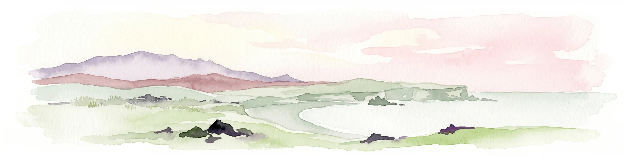
A horizontal watercolor illustration depicting a soft, pink-hued coastal landscape with rolling hills, rocky outcrops, and a quiet bay.
National parkIceland
About 722 km away#12 closest

South

Snæfellsjökull National Park: Volcanic Stratovolcano and Coastal Protected Area in Iceland

Mapped geologic features, glacier terrain, and coastal volcanic landmarks.

Snæfellsjökull National Park features a unique assembly of volcanic landforms, including the iconic glacier-capped stratovolcano, the towering Lóndrangar basalt pinnacles, and symmetrical craters like Saxhóll. This protected area offers deep insights into the glacial and submarine origins of western Iceland through its diverse palagonite ridges and extensive lava plains.

Area
170 km²
Established
2001
Relief
Mountain
Scope
Terrestrial
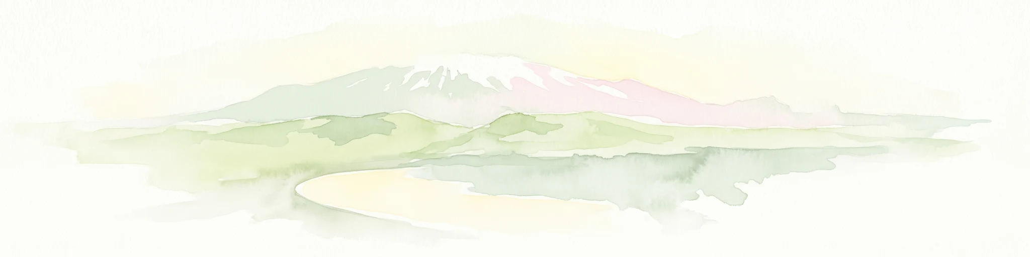
Watercolor illustration of a mountain landscape with a glacier-capped peak and surrounding green fields
National parkIceland
About 723 km away#13 closest

South

Snæfellsjökull National Park: Geography and Protected Landscapes of Western Iceland

Glacial volcanoes, lava fields, and coastal topography.

Snæfellsjökull National Park sits at the western tip of the Snæfellsnes peninsula, creating a unique intersection of glacial, volcanic, and maritime environments. This database provides structured insights into the park's rugged terrain, including its moss-covered lava fields, sea-carved cliffs, and the namesake glacier that dominates the local landscape.

Established
2001
IUCN
II
National parkNorway
About 725 km away#14 closest

Northeast

Sør-Spitsbergen National Park: Mapping Norway's Pristine Arctic Protected Landscape

Explore glacial terrain, tundra ecosystems, and significant seabird colonies.

Delve into Sør-Spitsbergen National Park, a cornerstone of Arctic protected areas within Norway's Svalbard archipelago. This extensive national park showcases raw glacial terrain, expansive ice caps, and sparse tundra valleys, offering a unique geographic context. It is globally recognized for its vast seabird colonies, particularly the dense nesting sites of thick-billed guillemots, and Ramsar-protected wetlands. Understanding Sør-Spitsbergen National Park through its mapped boundaries and landscape features provides critical insight into Arctic conservation and natural processes.

Area
8,504 km²
Established
1973
IUCN
II
Relief
Mixed relief
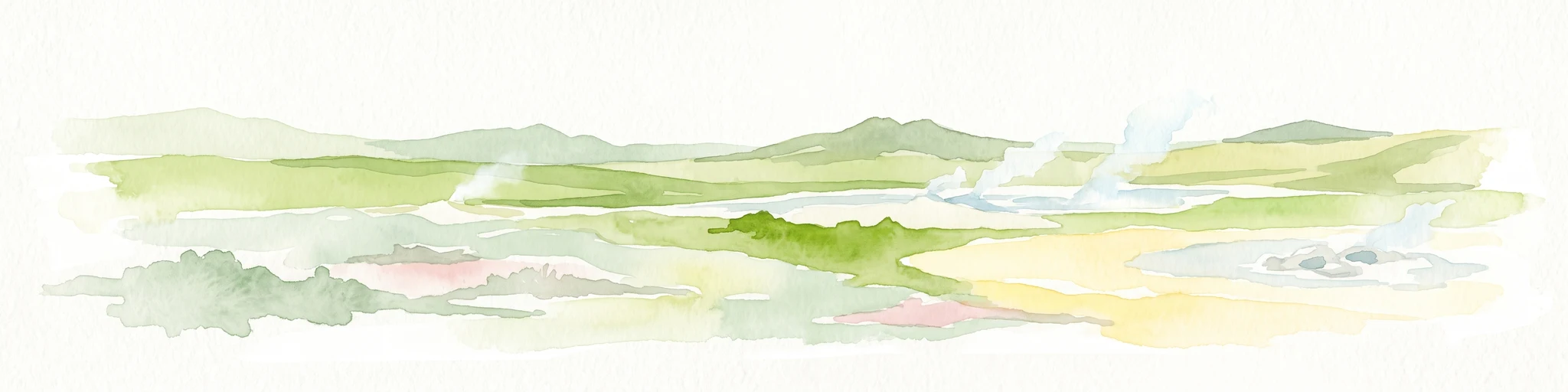
A watercolor painting showing a wide view of a geothermal area with green hills, steam plumes rising from hot springs, and yellow-toned ground patches.
Natural monumentIceland
About 758 km away#15 closest

South

Hveravellir Natural Monument: Geothermal Plateau Geography and Highland Protected Areas

Central Iceland geothermal field and volcanic plateau

Located on the Kjölur route, Hveravellir serves as a protected natural monument characterized by high-temperature geothermal activity. The area features a concentration of fumaroles, geysers, and mineral-rich springs set upon a stark volcanic plateau. This site offers significant insights into the geological processes shaping the central highlands of Iceland, blending ancient lava fields with active thermal surface transformations.

Area
2.5 km²
Relief
Highland
Climate
Subpolar
Access
Moderate access
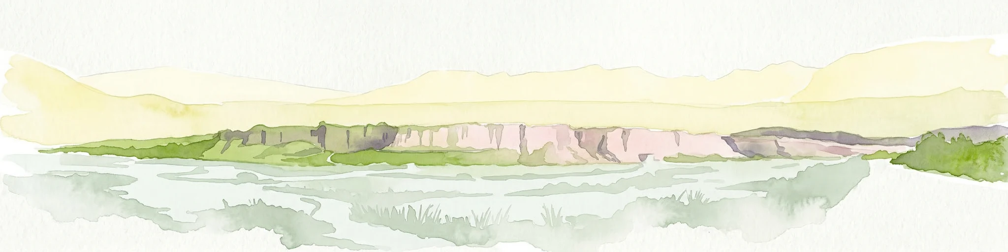
Watercolor painting depicting a landscape with cliffs, a body of water, and distant hills under a light sky
National parkSouthern Region
798 km away#16 closest

South

Þingvellir National Park: Witness Tectonic Plates and Ancient Icelandic Governance

Explore the rift valley and historic parliament site in Iceland's Southern Region.

Þingvellir National Park offers a singular opportunity for geographic discovery, situated in Iceland's Southern Region. This protected national park is globally recognized for its visible expression of the Mid-Atlantic Ridge, where the North American and Eurasian tectonic plates actively diverge, creating a dramatic rift valley. Moreover, Þingvellir served as the site of the Althing, Iceland's ancient parliament, making it a crucial historical landmark. Explore this landscape to understand both powerful geological processes and the foundations of Icelandic democratic history through its mapped terrain.

Area
92.7 km²
Established
1930
IUCN
II
Relief
Lowland
Wildlife reserveQikiqtaaluk
827 km away#17 closest

Southwest

Qaqulluit National Wildlife Area: Protected Marine Geography and Arctic Cliff Landscapes

A remote wildlife reserve along the eastern Arctic coastline.

Qaqulluit National Wildlife Area is a strictly protected reserve in Nunavut, recognized for its concentration of seabird nesting cliffs at Cape Nuvuttiq. The geography is defined by the sharp transition between towering rock walls and cold marine waters, creating a unique coastal environment that supports significant Arctic breeding colonies and marine mammals.

Area
398.21 km²
Established
2010
IUCN
Ib
Watercolor illustration of rolling green hills with distant mountains and a light sky
National parkRussia
833 km away#18 closest

Northeast

Russian Arctic National Park: Russia's Premier Northernmost Protected Landscape

Arctic Islands, Glacial Terrain, and Marine Mammal Habitats

Russian Arctic National Park preserves some of the planet's most remote and pristine Arctic environments across the Novaya Zemlya and Franz Josef Land archipelagos. This protected area offers unparalleled insight into Arctic geography, showcasing dramatic glacial landscapes, extensive seabird colonies, and critical feeding grounds for polar bears and bowhead whales. Explore the park's unique protected landscape and its significance within the broader atlas of global conservation efforts.

Area
14,260 km²
Established
2009
IUCN
II
Relief
Lowland
Wildlife reserveNunavut
850 km away#19 closest

West

Ninginganiq National Wildlife Area: Geographic Overview and Protected Landscape Mapping

A vital Arctic wildlife reserve on Baffin Island, Nunavut.

Ninginganiq National Wildlife Area stands as a cornerstone of Arctic conservation, encompassing the fog-defined shores of Isabella Bay. This protected area on Baffin Island serves as a critical seasonal feeding ground for bowhead whales and protects a vast expanse of tundra, marine inlets, and coastal ecosystems. Its establishment reflects a cooperative stewardship model between the federal government and Inuit communities, grounding this reserve in both ecological importance and cultural history.

Area
3,362 km²
Established
2010
IUCN
Ib
Relief
Lowland
Watercolor illustration showing a mountain landscape with green valleys, pink mountains, and a winding river
National parkIceland
About 884 km away#20 closest

Southeast

Skaftafell National Park: Iceland's Accessible Protected Landscape with Glacial Terrain and Basalt Columns

Discover glacial landscapes and volcanic geology.

Skaftafell National Park is a vital protected area in Southeast Iceland, offering a unique atlas-level view of dramatic glacial landscapes. Located at the base of Vatnajökull, Europe's largest glacier, the park features accessible hiking trails that traverse outwash plains, birch woodlands, and glacial tongues like Skaftafellsjökull. Explore the iconic Svartifoss waterfall, framed by striking basalt columns, and understand the park's dynamic terrain shaped by volcanic activity and glacial processes, providing rich geographic context for protected landscape discovery.

Established
1967
IUCN
II
Scope
Terrestrial
Distance methodology

Geographic measurements, not driving distances

How nearby park distances are calculated

Distances use park boundaries whenever the available geometry allows it. When one or both boundaries are missing, the mapped park locations provide a clearly labelled estimate. Every value represents straight-line geographic separation and does not use roads or routing.

Boundary distance

Calculated between the nearest points of both park boundaries.

Location-to-boundary estimate

Estimated from one mapped park location to the nearest boundary of the other park.

Mapped-location estimate

Estimated between the mapped locations of both parks.

MoriAtlas Explorer

Continue Exploring the Geography of Northeast Greenland National Park

Delve deeper into the structured geographic context of Northeast Greenland National Park. Understand its immense scale, its position within the Arctic region, and the unique landscape features that define this unparalleled protected area. MoriAtlas provides the mapped details to appreciate its vastness and ecological significance for a comprehensive atlas discovery experience.