Mori Atlas logo
Nearby park discovery

A geographic comparison of surrounding natural landscapes and protected environments

Protected Areas and National Parks Situated Near Ras Muhammad National Park in South Sinai

Examine the geographic distribution of protected areas and natural landscapes surrounding the Ras Muhammad National Park peninsula. This overview maps the spatial relationships of nearby protected lands within the South Sinai Governorate, providing context for the unique coastal and desert terrain found throughout this region of Egypt.

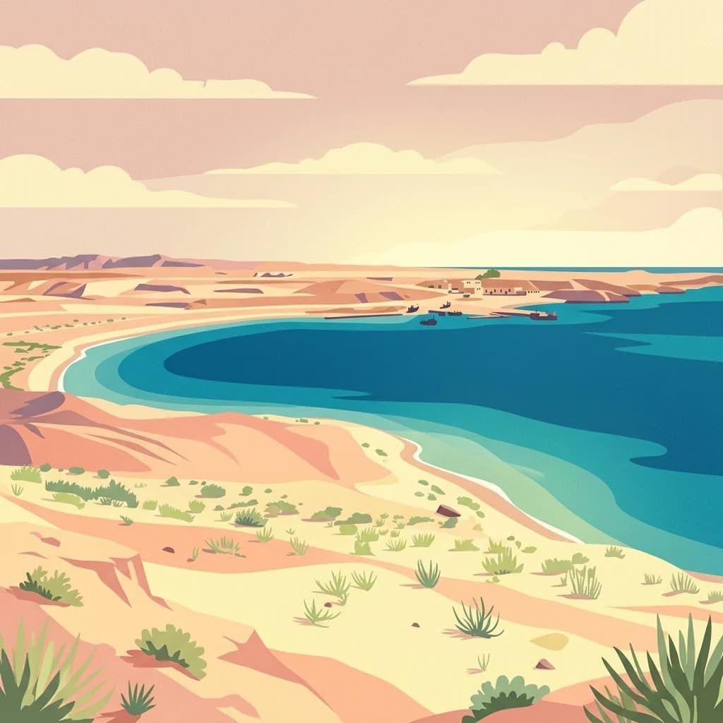
Digital illustration of a desert coastline meeting the sea, showing sandy terrain with low-lying desert shrubs in the foreground and clear blue water meeting a distant arid shoreline under a soft sky.

Egypt's Red Sea marine sanctuary at the crossroads of two gulfs

Ras Muhammad National Park

Ras Muhammad National Park is Egypt's premier marine protected area, situated at the southernmost tip of the Sinai Peninsula where the Gulf of Suez meets the Gulf of Aqaba. Established in 1983, the park encompasses approximately 480 square kilometers of terrestrial and marine territory, making it one of the largest coastal protected areas in the Red Sea region. The park serves as a critical ecological corridor and biodiversity hotspot, protecting some of the most vibrant and intact coral reef systems in the world. Its strategic position at the junction of the Arabian, African, and Sinai tectonic plates has shaped a unique landscape of coastal desert, mangroves, and underwater geological formations that attract scientists, divers, and nature enthusiasts from around the globe.

Location
Egypt
Park type
National park
Established
1983
Area
480 km²
Ras Muhammad National Park Geography
Regional park map

See the ranked park cluster in its geographic setting

Nearby parks around Ras Muhammad National Park

This regional map shows the same 19 nearby parks ranked below around Ras Muhammad National Park. Select a ranked marker to highlight that park’s boundary where boundary data is available.
Reference park: Ras Muhammad National ParkRanked nearby park19 nearby parks shown
19 nearby parks

Ranked distance relationships and regional park geography comparisons

Parks and Protected Areas Geographically Near Ras Muhammad National Park

Examine the ranked collection of nearby protected areas surrounding Ras Muhammad National Park through calculated geographic separation and directional context. Structured environmental characteristics and regional boundary data provide valuable comparison signals for exploring surrounding protected landscapes.
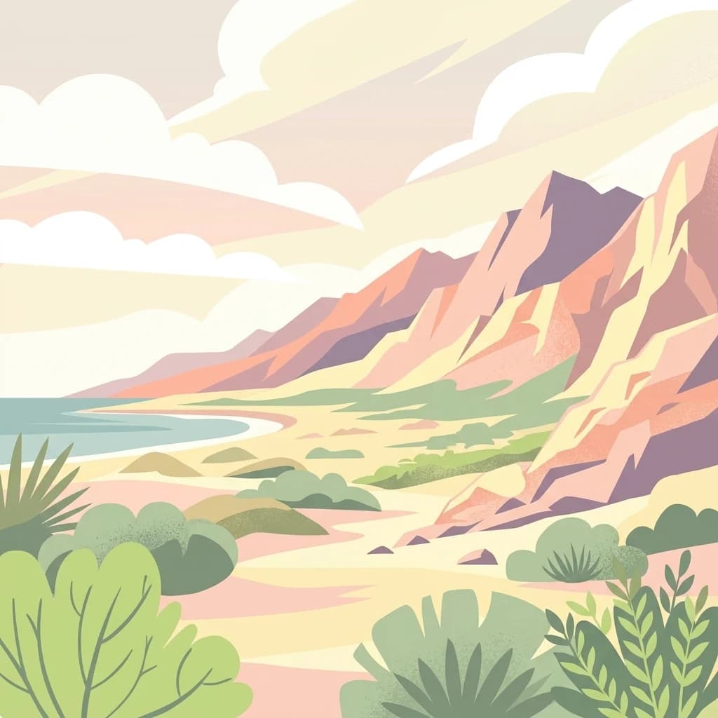
A stylized vector-style illustration of a desert landscape featuring rocky cliffs, low mountains in the distance, desert scrub plants in the foreground, and a small area of blue water between the mountains.
Protected areaSouth Sinai Governorate
About 59 km away#1 closest

North

Nabq Protected Area: South Sinai Governorate Protected Landscape and Regional Geography

Explore its mapped terrain and protected area context.

Nabq Protected Area offers a distinct view into Egypt's protected landscapes, situated within the South Sinai Governorate. This detailed page provides an atlas-style perspective on its geographic setting, allowing for structured exploration of its mapped boundaries and its role within the regional context. Understand the unique natural terrain and protected area characteristics that define this significant Egyptian site.

Area
600 km²
Established
1992
IUCN
VI
Relief
Mountain
A colorful digital illustration of a desert mountain canyon with terraced slopes and scattered olive trees along a low stone wall.
National parkEgypt
About 90 km away#2 closest

North

Saint Katherine Protectorate National Park: Egypt's Protected Landscape and Geographic Identity

Mapped boundaries and regional terrain discovery for this Egyptian protected area.

Saint Katherine Protectorate is a key national park in Egypt, representing a significant protected landscape within the Sinai Peninsula. This page offers a detailed atlas view of its protected boundaries and geographic context. Users can explore its position within Egypt's broader geography and understand its role as a vital protected area for regional landscape study.

Established
1983
Relief
Mountain
Climate
Alpine
Access
Moderate access
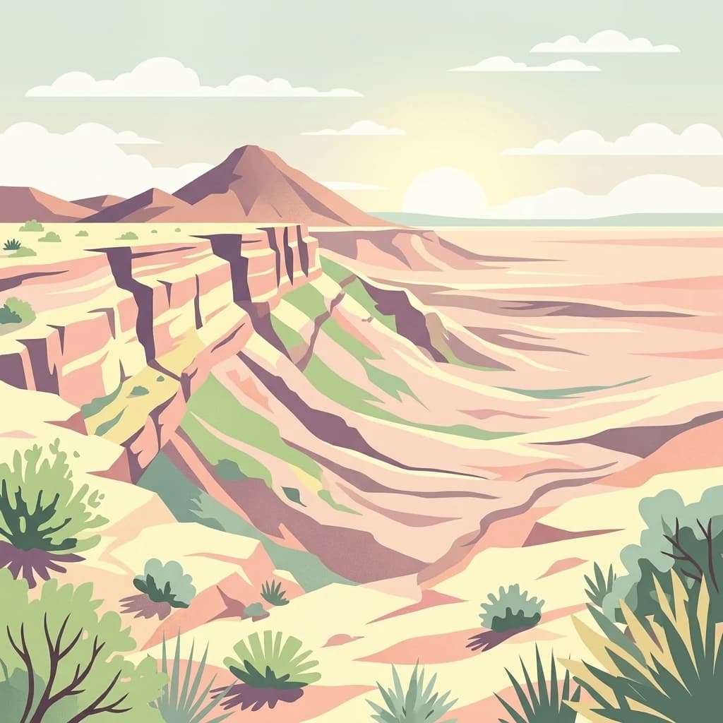
A stylized vector-style illustration of a desert landscape featuring steep canyon walls, rocky terrain, and arid vegetation.
National parkIsrael
About 317 km away#3 closest

North

Makhtesh Ramon

Discover dramatic desert terrain and ancient, colorful rock formations.

Makhtesh Ramon, in Israel. Landscapes: mountains, hills, and valleys.

Relief
Mountain
Climate
Arid
Access
Moderate access
Scope
Terrestrial
National parkIsrael
About 340 km away#4 closest

North

Avdat National Park: A Protected National Park in Israel's Regional Geography

Mapped landscape context and protected area details for Avdat National Park.

Avdat National Park represents a distinct protected landscape entity within the atlas of Israel. This resource focuses on the park's geographic identity, its mapped boundaries, and the surrounding natural terrain. Delve into the specific protected-area attributes that define Avdat National Park and understand its contribution to the country's conservation geography, offering a grounded perspective for geographic exploration.

Climate
Arid
Scope
Terrestrial
Water
No major water
Forest
No forest cover
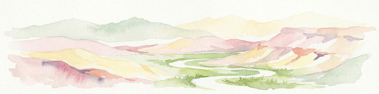
Watercolor illustration of a canyon with winding river, mountains, and rolling hills
National parkIsrael
About 343 km away#5 closest

North

Ein Avdat National Park: A Spectular Desert Oasis and Protected Landscape in Israel

Explore its unique springs, waterfalls, and ancient Nabatean and Byzantine history.

Ein Avdat National Park showcases a rare desert oasis environment, a starkly beautiful protected landscape where natural springs emerge from the Negev's arid terrain. This park is celebrated for its dramatic waterfalls, deep pools, and the preserved remnants of ancient human habitation, including a remarkable Byzantine cave monastery carved directly into the canyon walls. Its geography, shaped by the Nahal Zin wadi, provides a vivid study in desert ecosystems and their capacity for supporting life and history over millennia, making it a key site for understanding landscape context in Israel.

Area
4.8 km²
IUCN
V
Relief
Mixed relief
Climate
Arid
National parkIsrael
About 346 km away#6 closest

North

Ben-Gurion Tomb National Park: Protected Desert Landscape and Geographic Context

Explore the Negev Desert's unique memorial terrain.

Ben-Gurion Tomb National Park offers a distinct protected landscape experience in the heart of Israel's Negev Desert. This national park is primarily known as the burial site of David and Paula Ben-Gurion, intentionally situated in the desert overlooking the dramatic Nahal Tzin canyon. The park's approximately 90 dunams feature a carefully designed memorial garden that contrasts with the arid terrain, providing a unique focus for geographic exploration and understanding the site's regional landscape.

Area
0.09 km²
Relief
Lowland
Climate
Arid
Access
Easy access
National parkIsrael
About 347 km away#7 closest

North

Shivta National Park National Park: An Atlas View of Israel's Protected Landscapes

Mapped terrain and regional geographic context for Shivta National Park.

Shivta National Park represents a key protected area, offering a focused entry into Israel's broader geographic and landscape atlas. This page provides specific details about the park's identity as a national park, its mapped terrain, and its placement within the regional context of the country. Users can explore the structured information that defines Shivta National Park's role as a protected landscape, contributing to a deeper understanding of its geographic significance and mapped features.

Climate
Arid
Access
Easy access
Scope
Terrestrial
Water
No major water
Watercolor illustration of a mountainous landscape with multiple colored terrain layers
Biosphere reserveJordan
About 350 km away#8 closest

North

Dana Biosphere Reserve

Explore protected landscape boundaries and regional context.

Dana Biosphere Reserve, in Jordan. Landscapes: plateaus, valleys, and cliffs.

Area
308 km²
Established
1989
Relief
Mixed relief
Scope
Terrestrial
A stylized illustration of a calm river snaking through a grassy valley framed by tall pine trees under a warm, soft sunset sky.
Nature reserveJordan
About 366 km away#9 closest

North

Fifa Nature Reserve Nature Reserve: Protected Landscape Discovery in Jordan

Mapped natural terrain and protected area context.

Fifa Nature Reserve represents a distinct protected natural landscape within Jordan. This entry offers users a detailed atlas-style view of the reserve's protected boundaries and its place within the country's geography. Explore the mapped terrain and understand the significance of this nature reserve for structured geographic discovery and protected-area research.

Area
23.2 km²
Established
2011
Relief
Lowland
Climate
Arid
Watercolor illustration of rolling green hills, a body of water, and grassy vegetation under a light sky.
National parkIsrael
About 370 km away#10 closest

North

Mamshit National Park: Ancient Nabataean City, Byzantine Ruins, and Negev Desert Landscape

Explore exceptionally preserved Nabataean urban architecture and regional geography.

Mamshit National Park offers a rare window into ancient desert urbanism, preserving an exceptionally intact Nabataean caravan city and Byzantine settlement in Israel's Negev Desert. The site showcases unique residential compounds and religious structures, demonstrating sophisticated architectural traditions and water management systems against a backdrop of striking natural terrain. As a vital component of the Incense Road heritage, Mamshit provides rich context for understanding ancient trade, regional geography, and the enduring human adaptation to arid landscapes.

IUCN
V
Relief
Lowland
Climate
Arid
Scope
Terrestrial
Nature reserveSaudi Arabia
About 376 km away#11 closest

Northeast

Al-Tubayq Natural Reserve: Protected Nature Reserve within Saudi Arabia's Geography

Mapped protected landscape and regional terrain context.

Al-Tubayq Natural Reserve represents a distinct protected natural area within the geography of Saudi Arabia. This detail page focuses on its identity as a nature reserve, providing an atlas-driven view of its mapped boundaries and its place within the broader regional landscape. Understand the protected territory and its environmental significance, offering a factual foundation for geographic discovery and conservation context.

Area
12,105 km²
Established
1989
Relief
Upland
Climate
Arid
A flat-style digital illustration of a coastal desert landscape with reddish mountains, a sandy shore, and desert shrubs under a soft, cloudy sky.
National parkEgypt
About 388 km away#12 closest

South

Wadi El Gemal National Park National Park: Egypt's Protected Landscape and Geography

Explore the mapped boundaries and regional context of this Egyptian national park.

Wadi El Gemal National Park offers a detailed look into a significant protected natural area within Egypt. As a national park, it presents a specific landscape identity with clearly defined geographic boundaries that are invaluable for atlas-based exploration. Users can delve into the mapped terrain and understand the regional geographic context surrounding this protected land, enhancing their comprehension of Egypt's natural heritage.

Area
6,870 km²
Established
2003
Relief
Mountain
Access
Access unknown
National parkIsrael
About 390 km away#13 closest

North

Tel Be'er Sheva National Park: Mapped Boundaries and Protected Landscape Identity

Discover its geographic context within Israel's natural terrain.

This MoriAtlas detail page for Tel Be'er Sheva National Park provides focused insights into its identity as a protected landscape. Users can explore its specific geographic setting within Israel, understand its mapped boundaries, and gain a clearer appreciation for its natural terrain. The content is designed to support detailed atlas-based discovery, offering a comprehensive view of the park's protected area characteristics and regional geographic significance.

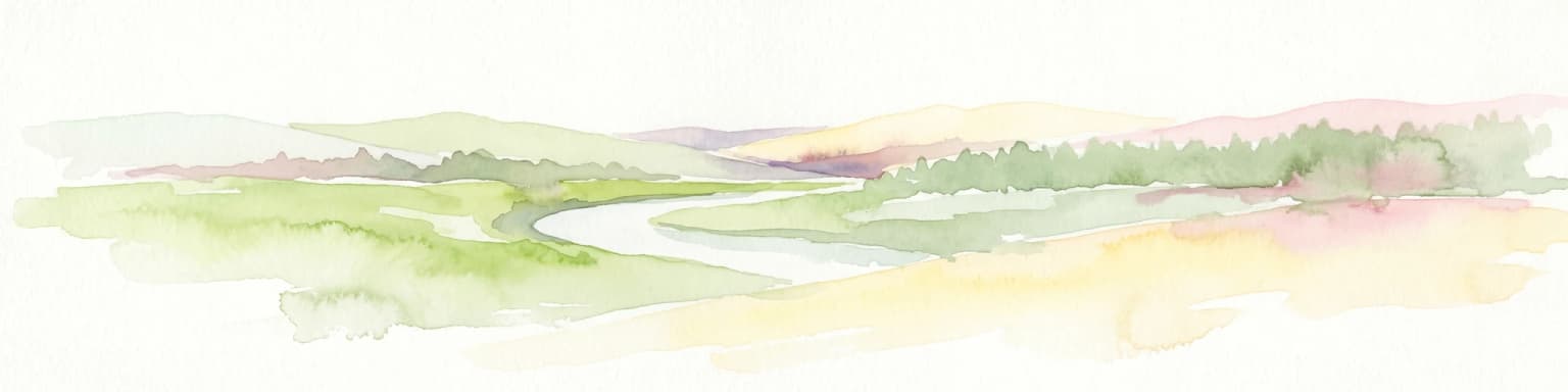
Watercolor illustration showing a winding river through green hills with distant trees under a light sky
National parkIsrael
About 393 km away#14 closest

North

Eshkol National Park: Desert Wetland Oasis with Archaeological Significance in Southern Israel

Mapped protected area featuring Ein HaBesor spring and Besor valley landscapes.

Eshkol National Park showcases a rare desert wetland environment sustained by the significant Ein HaBesor spring in Israel's Northern Negev. This protected natural area offers a distinctive landscape where water nourishes lush vegetation against the backdrop of arid terrain. Beyond its ecological value, the park encompasses archaeological remnants, including the mound of Khirbet Shalala, providing a rich geographical and historical discovery context within the Besor Stream basin.

Area
3.54 km²
Relief
Lowland
Climate
Arid
Access
Easy access
National parkIsrael
About 399 km away#15 closest

North

Tel Arad National Park: Discover Israel's Protected Landscape and Mapped Geography

Explore protected area boundaries and regional terrain context.

Delve into Tel Arad National Park, a key protected area in Israel offering insights into its unique landscape and geographic setting. This park provides a focal point for understanding protected land distribution, mapped terrain features, and the regional natural context within the Levant. Utilize this atlas entry to explore the park's specific geographic identity and conservation significance.

Digital illustration of the flat-topped, steep-cliffed fortress of Masada sitting high above a rugged desert landscape with mountains and a body of water in the distance.
National parkIsrael
About 408 km away#16 closest

North

Masada National Park

Discover mapped boundaries and archaeological significance in the Judean Desert.

Masada National Park, in Israel.

IUCN
V
Scope
Terrestrial
Water
Minor water
Season
Year-round
Nature reserveGaza Strip
About 410 km away#17 closest

North

Wadi Gaza Nature Reserve: Geographic Overview and Protected Coastal Wetland Mapping

Essential protected land data for the Gaza Strip coastal wetland

Wadi Gaza Nature Reserve forms a vital ecological seam within the Gaza Strip, encompassing the active riverbed, floodplain, and vegetated margins of the wadi as it meets the Mediterranean Sea. This protected area supports rare wetland habitats and serves as a major migration flyway for waterbirds, standing as a significant conservation feature within the coastal landscape.

Established
2000
Relief
Lowland
Climate
Mediterranean
Access
Access unknown
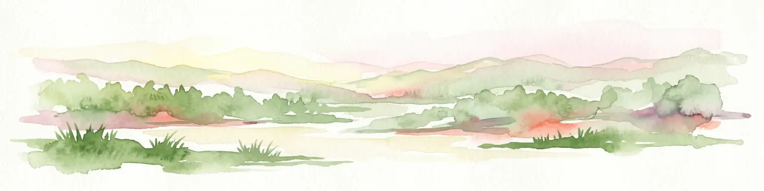
Watercolor illustration of a landscape with green vegetation, a river, and distant hills under a pale sky
Nature reserveIsrael
About 418 km away#18 closest

North

Ein Gedi Nature Reserve

Mapped natural terrain and protected landscape context.

Ein Gedi Nature Reserve, in Israel. Landscapes: valleys, rivers, and waterfalls.

Area
14 km²
Established
1971
Visitors
1M annual
Relief
Lowland
A flat, stylized illustration of a dry landscape with green prickly pear cacti in the foreground, yellowed grasses, and smooth, light-colored rock formations under a pale sky.
National parkIsrael
About 430 km away#19 closest

North

Beit Guvrin-Maresha National Park: A Mapped Exploration of Israel's Ancient Subterranean Heritage

Discover unique bell caves and archaeological landscape in the Judean lowlands.

Beit Guvrin-Maresha National Park in Israel presents a unique atlas-style discovery of a landscape defined by ancient human excavation. Explore the vast networks of bell caves, Phoenician necropolises, and Byzantine underground churches carved into the soft limestone hillsides. This protected area offers a compelling journey through millennia of history, revealing the geography and terrain shaped by continuous habitation and burial practices, making it a vital site for understanding regional archaeology and ancient cave systems.

IUCN
V
Water
No major water
Distance methodology

Geographic measurements, not driving distances

How nearby park distances are calculated

Distances use park boundaries whenever the available geometry allows it. When one or both boundaries are missing, the mapped park locations provide a clearly labelled estimate. Every value represents straight-line geographic separation and does not use roads or routing.

Boundary distance

Calculated between the nearest points of both park boundaries.

Location-to-boundary estimate

Estimated from one mapped park location to the nearest boundary of the other park.

Mapped-location estimate

Estimated between the mapped locations of both parks.

MoriAtlas Explorer

Continue Exploring Ras Muhammad National Park's Geographic and Protected Landscape Context

Deepen your understanding of Ras Muhammad National Park by investigating its mapped boundaries and regional geographic setting within South Sinai Governorate. MoriAtlas provides the framework to analyze protected areas and their landscapes, offering a structured approach to discovering the planet's natural geography and conservation sites.

Global natural geography