West
Ein Gedi Nature Reserve
Mapped natural terrain and protected landscape context.
Ein Gedi Nature Reserve, in Israel. Landscapes: valleys, rivers, and waterfalls.
- Area
- 14 km²
- Established
- 1971
- Visitors
- 1M annual
- Relief
- Lowland
Regional geographic survey of protected terrain and surrounding natural landscapes
Examine the geographic distribution of protected areas and parks located in the immediate vicinity of Wadi Mujib in Jordan. This assessment identifies neighboring reserves and wilderness environments based on spatial proximity to the canyon network and its diverse topographic surroundings.

dramatic desert canyon reserve feeding into the Dead Sea
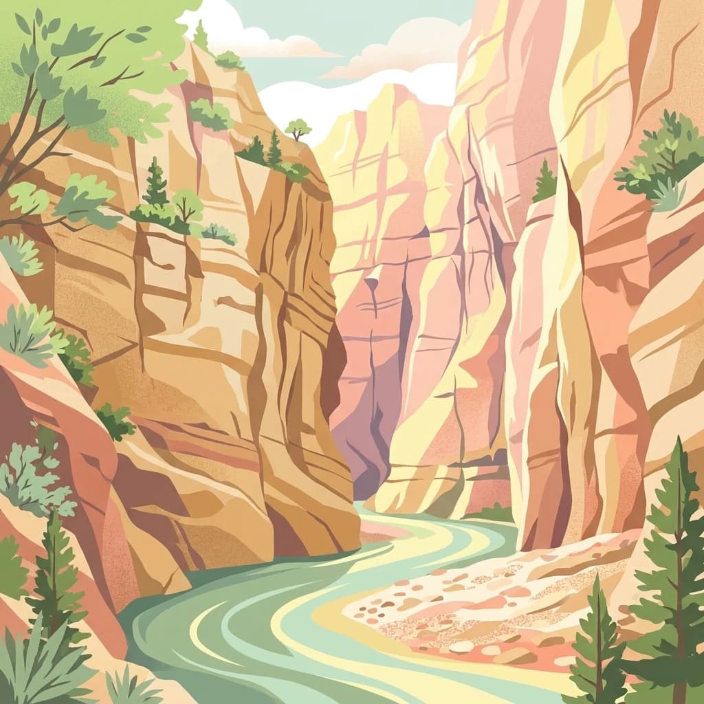
Wadi Mujib is a river system and protected reserve in Jordan, located approximately 90 kilometres south of Amman in the mountainous landscape east of the Dead Sea. The reserve encompasses a dramatic canyon landscape where seven tributaries converge before emptying into the Dead Sea at roughly 420 metres below sea level. Established in 1987 by the Royal Society for the Conservation of Nature and declared a UNESCO biosphere reserve in 2011, Mujib protects 212 square kilometres of rugged terrain that spans an extraordinary elevation range from the Dead Sea shore to peaks reaching 1,277 metres above sea level. The reserve is regionally and internationally significant, particularly for the remarkable biodiversity it supports despite its arid desert setting, with over 300 plant species and diverse carnivore and bird populations documented within its boundaries. The wadi's deep gorge, formed through geological processes during the last ice age, creates a striking landscape of vertical cliffs, slot canyons, and perennial spring-fed streams that flow year-round.
See the ranked park cluster in its geographic setting
Distance ranked collection and regional park geography surrounding Wadi Mujib

West
Mapped natural terrain and protected landscape context.
Ein Gedi Nature Reserve, in Israel. Landscapes: valleys, rivers, and waterfalls.

Southwest
Discover mapped boundaries and archaeological significance in the Judean Desert.
Masada National Park, in Israel.

North
Mapped terrain and protected landscape identity in Israel.
Delve into Qumran National Park, a significant national park situated in Israel. This detailed exploration focuses on its protected landscape identity, mapped boundaries, and its place within the country's diverse geography. Understand the unique natural context and regional significance of Qumran National Park through an atlas-driven perspective.
Northwest
Explore its mapped boundaries and geographic terrain.
Herodion National Park stands as a significant protected area within Israel, contributing vital context to the nation's atlas of natural landscapes. This national park designation highlights its role in conservation and offers a unique opportunity to study its specific geography, terrain, and mapped boundaries. By focusing on the park's protected landscape identity, users can gain structured insights into Israel's conservation efforts and regional geographic features, enhancing any atlas exploration.
North
Mapped boundaries and regional natural landscape context.
Qasr el Yahud National Park is a designated protected area in Israel, serving as a crucial site for understanding regional geography and landscape context. This page facilitates detailed exploration of its protected land identity, mapped geographic boundaries, and its place within the natural terrain of the area, offering users a clear view of its atlas significance.
Southwest
Explore protected area boundaries and regional terrain context.
Delve into Tel Arad National Park, a key protected area in Israel offering insights into its unique landscape and geographic setting. This park provides a focal point for understanding protected land distribution, mapped terrain features, and the regional natural context within the Levant. Utilize this atlas entry to explore the park's specific geographic identity and conservation significance.

South
Mapped natural terrain and protected area context.
Fifa Nature Reserve represents a distinct protected natural landscape within Jordan. This entry offers users a detailed atlas-style view of the reserve's protected boundaries and its place within the country's geography. Explore the mapped terrain and understand the significance of this nature reserve for structured geographic discovery and protected-area research.

Northwest
Investigate the mapped protected landscape and regional terrain.
Castel National Park represents a key protected area within Israel, focusing on the discovery of its mapped terrain and geographic identity. As a national park, it serves as a crucial entity for understanding regional conservation landscapes and the distribution of protected areas across Israel. This detailed view allows for focused exploration of the park's boundaries and its contribution to the country's natural heritage, offering valuable context for atlas-based geographical inquiry.
Northwest
Discover the natural terrain and park boundaries.
Ein Hemed National Park is a designated national park in Israel, providing valuable insight into its protected natural landscapes and regional geography. This entry focuses on understanding the park's physical setting and its mapped boundaries, essential for atlas-based exploration. Examine the terrain and discover the geographic significance of this protected area within the Israeli context.

North
Desert oasis and freshwater spring landscapes in Jericho Governorate
Ain Al-Auja Nature Reserve offers a distinct look at the intersection of highland escarpments and valley floor water systems. The protected landscape, defined by its perennial spring and surrounding medicinal flora, functions as a vital green corridor. View the mapped boundaries and terrain context of this significant desert oasis within the Jordan Valley network.

West
Discover unique bell caves and archaeological landscape in the Judean lowlands.
Beit Guvrin-Maresha National Park in Israel presents a unique atlas-style discovery of a landscape defined by ancient human excavation. Explore the vast networks of bell caves, Phoenician necropolises, and Byzantine underground churches carved into the soft limestone hillsides. This protected area offers a compelling journey through millennia of history, revealing the geography and terrain shaped by continuous habitation and burial practices, making it a vital site for understanding regional archaeology and ancient cave systems.

Southwest
Explore exceptionally preserved Nabataean urban architecture and regional geography.
Mamshit National Park offers a rare window into ancient desert urbanism, preserving an exceptionally intact Nabataean caravan city and Byzantine settlement in Israel's Negev Desert. The site showcases unique residential compounds and religious structures, demonstrating sophisticated architectural traditions and water management systems against a backdrop of striking natural terrain. As a vital component of the Incense Road heritage, Mamshit provides rich context for understanding ancient trade, regional geography, and the enduring human adaptation to arid landscapes.
West
Discover its geographic context within Israel's natural terrain.
This MoriAtlas detail page for Tel Be'er Sheva National Park provides focused insights into its identity as a protected landscape. Users can explore its specific geographic setting within Israel, understand its mapped boundaries, and gain a clearer appreciation for its natural terrain. The content is designed to support detailed atlas-based discovery, offering a comprehensive view of the park's protected area characteristics and regional geographic significance.

South
Explore protected landscape boundaries and regional context.
Dana Biosphere Reserve, in Jordan. Landscapes: plateaus, valleys, and cliffs.

North
Discover mapped terrain and protected landscape boundaries.
Dibeen Forest Reserve is a critical nature reserve in Jordan, safeguarding one of the few remaining naturally grown Aleppo pine and oak forest ecosystems in the Middle East. The reserve's landscape features rolling hills and steep limestone slopes, rising from 500 to 1000 metres, dissected by seasonal wadis. Its protected status highlights the importance of understanding mapped natural areas for preserving unique regional geography and biodiversity.
Northwest
Mapped protected area and natural terrain context.
Gain a structured understanding of Yarkon-Tel Afek National Park, a designated national park within Israel. This detail entry focuses on its geographic identity and role as a protected landscape, providing essential context for atlas exploration. Understand the park's mapped boundaries and its contribution to the natural geography of the region without extraneous visitor details.
North
Explore the terrain and mapped boundaries of this national park.
Shomron National Park preserves the natural landscape and archaeological remnants of the historic Samarian region. This protected area offers a glimpse into the characteristic terrain of the West Bank highlands, featuring rolling hills and rocky outcrops. Understand the geographic placement and protected land context of Shomron National Park within its regional setting.

West
Explore mapped ruins, Fatimid walls, and Mediterranean coastal geography.
Ashkelon National Park in Israel offers a unique dive into ancient urban development, preserving layers of history from multiple civilizations along the Mediterranean coast. This protected area features landmark archaeological discoveries, including the Middle Bronze Age gate and extensive Roman ruins, all situated within a distinct coastal landscape. Understanding its mapped boundaries and the progression of its terrain provides critical context for appreciating this significant heritage site's geographic and historical importance.
Southwest
Explore the Negev Desert's unique memorial terrain.
Ben-Gurion Tomb National Park offers a distinct protected landscape experience in the heart of Israel's Negev Desert. This national park is primarily known as the burial site of David and Paula Ben-Gurion, intentionally situated in the desert overlooking the dramatic Nahal Tzin canyon. The park's approximately 90 dunams feature a carefully designed memorial garden that contrasts with the arid terrain, providing a unique focus for geographic exploration and understanding the site's regional landscape.

North
Explore the unique protected landscape and mapped terrain of Ajloun Forest Reserve.
Ajloun Forest Reserve is a nature reserve located in Jordan's Ajloun Governorate, distinguished by its rare Mediterranean woodland ecosystem. This protected area provides crucial habitat and showcases a landscape of rolling hills and valleys, offering a stark contrast to the country's predominantly arid regions. Its designation as a UNESCO biosphere reserve underscores its importance for conservation, including efforts in roe deer restoration and the preservation of the black iris, Jordan's national flower. Discover the geographic context and protected nature of this significant Jordanian landscape.
Geographic measurements, not driving distances
Calculated between the nearest points of both park boundaries.
Estimated from one mapped park location to the nearest boundary of the other park.
Estimated between the mapped locations of both parks.
Delve deeper into the Wadi Mujib Nature Reserve to understand its unique topographic features, mapped boundaries, and significant ecological role within Jordan's geography. Discover the atlas-level details of this protected landscape, appreciating its contribution to arid biodiversity and its position along the Great Rift Valley migratory bird flyway.