Mori Atlas logo
Nearby park discovery

Regional landscape mapping and geographic distribution of nearby protected environments

National Parks and Protected Areas Located Near Way Kambas National Park in Lampung

Examine the geographic distribution and spatial relationships of parks and protected areas surrounding Way Kambas National Park. This regional mapping provides a clear overview of the lowland forest and wetland landscapes found in the vicinity, helping to trace how protected boundaries sit within the broader geography of southern Sumatra.

Related tags

Lowland RainforestWetland EcosystemsCritically Endangered SpeciesASEAN Heritage ParkSumatran Rhinoceros

Critical habitat for Sumatran rhinos, elephants, and tigers in southern Sumatra

Way Kambas National Park

Way Kambas National Park is a protected area of approximately 1,300 square kilometers in the Lampung province of southern Sumatra, Indonesia. The park encompasses swamp forest and lowland rain forest ecosystems, largely of secondary growth as a result of extensive logging during the 1960s and 1970s. Despite significant habitat degradation, the park remains one of the last strongholds for several critically endangered species including the Sumatran tiger, Sumatran elephant, and Sumatran rhinoceros. The park was established as a game reserve by the Dutch administration in 1937 and was declared a national park in 1989. In 2016, Way Kambas was formally designated as an ASEAN Heritage Park, recognizing its significant ecological value and conservation importance within the Southeast Asian region.

Location
Indonesia
Park type
National park
Established
1989
Area
1,300 km²
Way Kambas National Park Atlas
Regional park map

See the ranked park cluster in its geographic setting

Nearby parks around Way Kambas National Park

This regional map shows the same 20 nearby parks ranked below around Way Kambas National Park. Select a ranked marker to highlight that park’s boundary where boundary data is available.
Reference park: Way Kambas National ParkRanked nearby parkSelected boundary: Way Kambas National Park20 nearby parks shown
20 nearby parks

Distance ranked collection and surrounding regional park geography comparison

Parks and Protected Areas Geographically Near Way Kambas National Park

Browse protected areas measured by direct geographic separation from Way Kambas National Park to evaluate surrounding landscape patterns. Structured boundary metrics and regional placement data provide clear comparative context for nearby conservation environments without assuming identical habitats.
Watercolor illustration of islands with trees and a sunset over the water
National parkIndonesia
About 94 km away#1 closest

Southeast

Kepulauan Seribu National Park

Explore the coral reefs and island geography of this unique national park.

Kepulauan Seribu National Park, in Indonesia. Landscapes: coasts, islands, and reefs.

Area
1,074.89 km²
Established
1982
IUCN
II
Visitors
777K annual
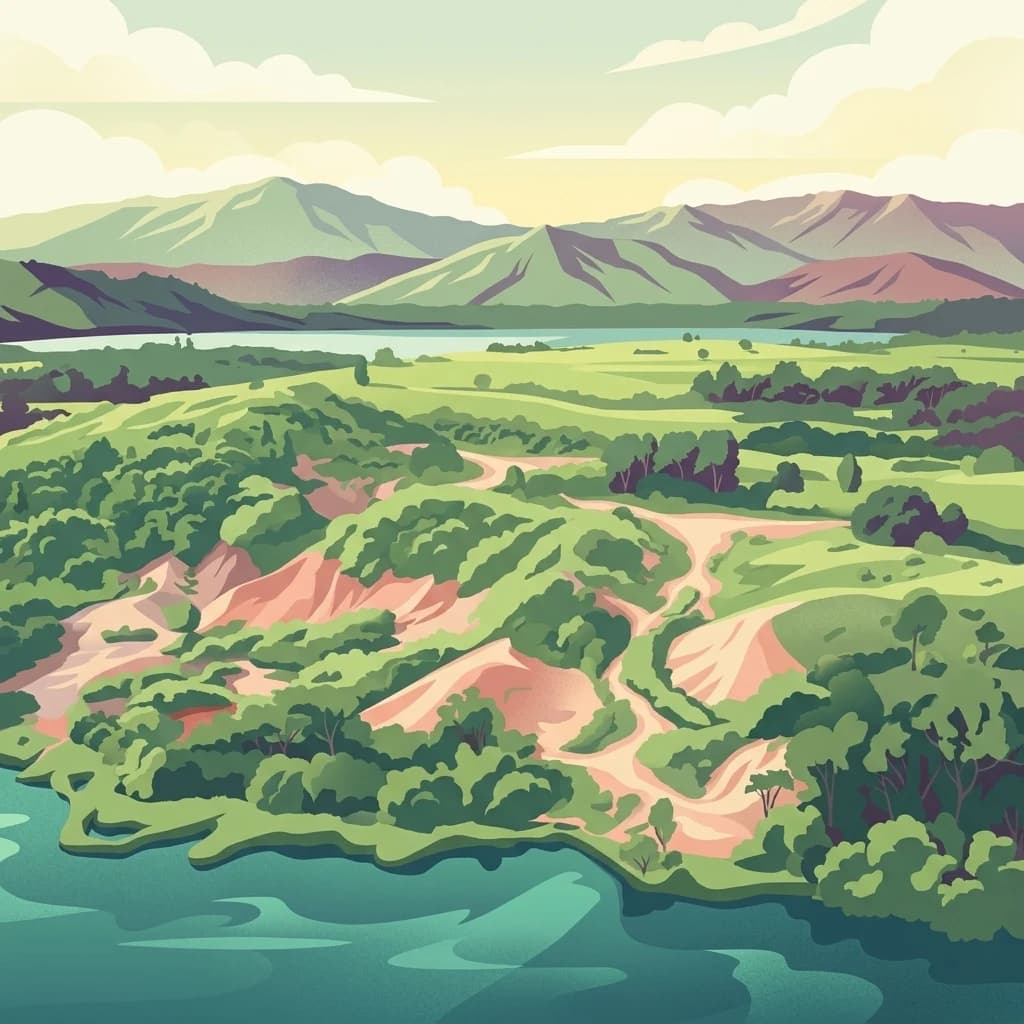
A digital illustration showing a lush green landscape with hilly terrain, forest, sandy trails, and a large body of water in the foreground, with distant mountains under a soft sky.
National parkSumatra
121 km away#2 closest

West

Bukit Barisan Selatan National Park

Explore mapped boundaries and regional geography within this protected area.

Bukit Barisan Selatan National Park, in Sumatra, Indonesia. Landscapes: mountains, forests, and rivers.

Area
3,568 km²
Established
1982
IUCN
II
Relief
Mountain
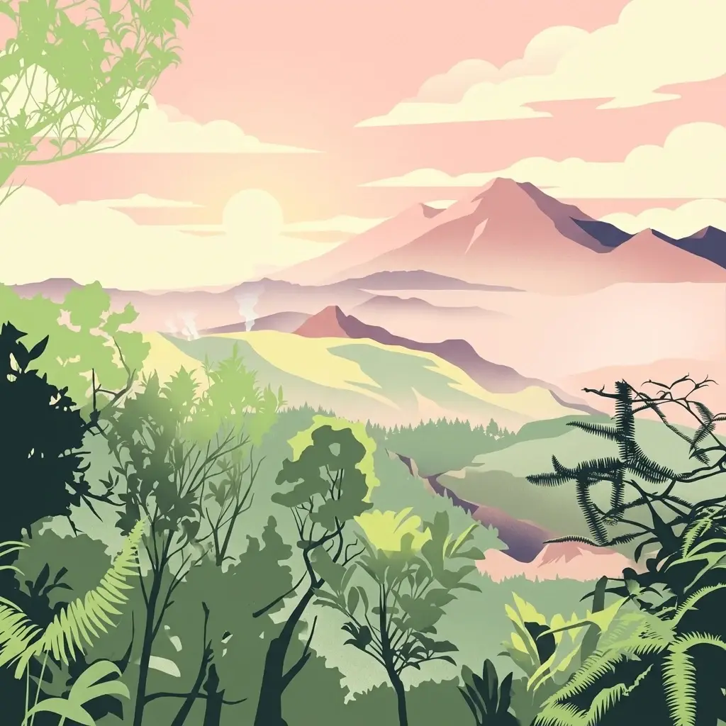
A colorful digital illustration of a sandy beach, turquoise water, and lush tropical vegetation under a soft, sunset-lit sky.
National parkBanten
152 km away#3 closest

South

Ujung Kulon National Park: Atlas of Java's Last Lowland Rainforest and Protected Landscapes

Explore the unique geography and critical conservation importance of this vital protected area.

Ujung Kulon National Park, located in Banten, Indonesia, is a crucial protected landscape recognized for its ecological significance. This national park represents the last substantial area of lowland rainforest remaining on Java, making it an indispensable sanctuary. It is globally recognized as the primary and final refuge for the Javan rhinoceros, a critically endangered species. The park's geography encompasses the Ujung Kulon peninsula and mountain ranges, alongside vital marine environments, contributing to its status as a UNESCO World Heritage Site and a cornerstone of regional conservation efforts.

Area
497.59 km²
Established
1992
IUCN
II
Visitors
12K annual
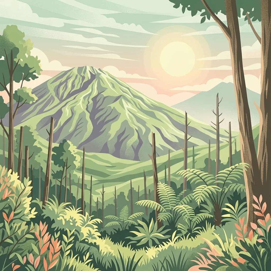
A digital illustration showing a lush, tropical forest in the foreground with layers of rolling hills and tall volcanic mountains in the background under a soft sunrise.
National parkIndonesia
About 184 km away#4 closest

South

Gunung Halimun National Park: Mapped Protected Landscape within Indonesia's Geography

Explore the park's national park designation and regional terrain.

Gunung Halimun National Park stands as a key protected national park in Indonesia, offering a deep dive into its specific geographic identity and landscape context. Through this detail page, users can explore the mapped boundaries, understand its place within the regional geography of Indonesia, and gain insight into its protected area status. This content focuses on the atlas exploration value of Gunung Halimun National Park, detailing its terrain and conservation landscape.

A stylized flat illustration showing a lush, green tropical forest in the foreground with a large, forested volcanic mountain peak in the background.
National parkIndonesia
About 205 km away#5 closest

Southeast

Gunung Gede Pangrango National Park: Indonesia's National Park with Distinct Protected Geography

Explore mapped boundaries and natural landscape context.

Gunung Gede Pangrango National Park represents a key protected area within Indonesia's diverse geography. This national park provides a focal point for understanding mapped boundaries and the specific natural landscape character it preserves. Its designation as a national park highlights its importance for regional protected land discovery and the detailed study of Indonesia's archipelagic features.

Area
242.71 km²
Established
1980
Relief
Mountain
Climate
Tropical
National parkSumatra
About 327 km away#6 closest

North

Sembilang National Park: A Mapped Protected Landscape within Sumatra's Geography

Understanding its park boundaries and regional natural context.

Delve into the atlas-level details of Sembilang National Park, a protected national park situated on the island of Sumatra. This exploration focuses on its geographic footprint, mapped boundaries, and its significance as a component of Indonesia's broader protected natural landscapes. Discover how this park contributes to the regional geography and offers a distinct protected-area identity within the Indonesian archipelago.

Area
2,051 km²
Established
2001
IUCN
II
Relief
Lowland
Digital vector illustration of a conical mountain at sunrise with a sunburst, a calm lake with a silhouette of a person on a paddleboard, and lush foreground vegetation.
National parkIndonesia
About 337 km away#7 closest

Southeast

Mount Ciremai National Park: A Protected Landscape Within Indonesia's Geography

Explore mapped boundaries and regional park context.

This national park in Indonesia provides a unique opportunity to study protected landscape geography. Access detailed information on Mount Ciremai National Park's mapped boundaries and its regional context, contributing to a richer understanding of Indonesia's diverse natural terrain and protected areas. It serves as a crucial point for atlas-based geographic discovery within the archipelago.

Area
155 km²
Established
2004
Visitors
15.1K annual
Relief
Mountain
A colorful digital illustration of a smoking volcano rising above terraced green fields and forested hills, with red flowering plants in the immediate foreground.
National parkWest Sumatra
350 km away#8 closest

Northwest

Kerinci Seblat National Park

Explore its mapped geography and regional atlas context.

Kerinci Seblat National Park, in West Sumatra, Indonesia. Landscapes: mountains, rivers, and waterfalls.

Area
13,750 km²
Established
1999
IUCN
II
Relief
Mountain
National parkJambi
About 395 km away#9 closest

North

Berbak National Park National Park: Discover Protected Landscape Geography in Jambi

Explore mapped boundaries and regional context for this Sumatran protected area.

Berbak National Park is an officially designated national park within Indonesia's Jambi province. This page provides detailed geographic context, focusing on the park's mapped boundaries and its role as a protected landscape. Users can explore its placement within the broader regional geography of Sumatra, understanding how it contributes to the conservation landscape of the Jambi area for atlas-based discovery.

Area
1,627 km²
Established
1992
IUCN
II
Relief
Lowland
A vibrant digital illustration of a lush tropical rainforest featuring a large central tree with broad roots, surrounded by ferns and dense foliage, with a small waterfall visible in the background under a soft sunrise sky.
National parkJambi
About 448 km away#10 closest

Northwest

Bukit Duabelas National Park: Jambi's Protected Lowland Tropical Rainforest Landscape

Explore its mapped terrain and vital water catchment geography.

Bukit Duabelas National Park is a protected area in Jambi, Sumatra, safeguarding critical lowland tropical rainforest ecosystems. Its name reflects the hilly terrain that defines its landscape, acting as an essential water catchment for the Batang Hari River. This park offers an atlas-focused view of Sumatra's threatened forest heritage and its importance within regional geography, including unique timber species and the ancestral lands of the Orang Rimba people.

Area
605 km²
Established
2000
IUCN
II
Relief
Lowland
An illustration of a tropical beach coastline with soft pastel colors, featuring palm trees leaning over white sand, gentle turquoise waves, and a hazy horizon.
National parkCentral Java
About 506 km away#11 closest

East

Karimunjawa National Park: A National Park in Central Java's Geographic Atlas

Mapped protected boundaries and landscape context.

Gain a structured atlas-based understanding of Karimunjawa National Park, a designated national park located in Central Java, Indonesia. This detailed view focuses on the park's geographic footprint and its significance as a protected landscape. Explore its mapped territory and regional context, contributing to a comprehensive overview of natural areas within the Central Java region.

Area
1,101.17 km²
Established
1999
IUCN
II
Relief
Upland
A stylized digital illustration of a waterfall cascading over rocky cliffs into a calm pool surrounded by tropical forest vegetation.
National parkIndonesia
About 545 km away#12 closest

Northwest

Bukit Tigapuluh National Park: Protected Area Identity and Indonesian Geographic Context

Explore mapped boundaries and regional landscape features.

Bukit Tigapuluh National Park stands as a protected natural area within Indonesia. This entry provides detailed geographic information, focusing on its mapped extent and its contribution to the nation's conservation atlas. Understanding its place within Indonesia's broader geography highlights the significance of its protected landscape and its role in regional natural resource mapping.

Area
1,432.23 km²
Established
1995
IUCN
II
Relief
Lowland
A stylized illustration of a large green mountain under a soft sun, viewed through a forest of trees and ferns.
National parkIndonesia
About 562 km away#13 closest

Southeast

Gunung Merbabu National Park: A Key Protected Landscape in Indonesia's Geography

Explore its mapped protected area boundaries and regional setting.

Gunung Merbabu National Park represents a distinct protected area entity within Indonesia's expansive geography. This page provides detailed information on the park's status as a national park, emphasizing its mapped territory and contribution to the understanding of protected landscapes. Discover its geographic context and how it fits into the broader atlas of Indonesian natural areas, offering a focused view for those interested in regional park geography and landscape exploration.

Area
57 km²
Established
2004
Relief
Mountain
Climate
Tropical
A stylized, flat-design illustration showing a tall, rugged volcano in the background with a foreground of dense, varied green trees and plants under a warm-toned sky.
National parkIndonesia
About 567 km away#14 closest

Southeast

Gunung Merapi National Park

Explore mapped boundaries and regional natural terrain within Indonesia.

Gunung Merapi National Park, in Indonesia. Landscapes: mountains, volcanoes, and forests.

Area
64.1 km²
Established
2004
Relief
Mountain
Climate
Tropical
National parkAustralia
571 km away#15 closest

South

Christmas Island National Park: Explore Its Protected Landscape and Geographic Setting

Mapping Australia's unique national park boundaries and terrain.

Christmas Island National Park offers a focused lens into Australia's protected areas. This page provides an atlas-style exploration of its specific geographic features and mapped boundaries. Understand its role as a distinct natural landscape within the broader regional geography, making it a crucial point of study for anyone interested in the mapped context of conservation lands in Oceania.

Area
85 km²
Established
1980
IUCN
II
Relief
Upland
Digital illustration of a dense forest with a valley, flowing river, and waterfall in the distance, rendered in a flat, pastel-colored artistic style.
National parkIndonesia
About 615 km away#16 closest

Northeast

Mount Palung National Park: Indonesia's Protected Volcanic Mountain and Tropical Forest Landscape

Explore the mapped boundaries and regional geography of this Indonesian national park.

Mount Palung National Park is a designated national park in West Kalimantan, Indonesia, recognized for its prominent volcanic mountain and the surrounding tropical forest ecosystems. This protected area showcases Borneo's diverse biodiversity across its lowland and montane forest zones, making it a key component of the Indonesian protected landscape. Its atlas presence highlights the conservation value of its mapped natural terrain and its regional significance.

IUCN
II
Scope
Terrestrial
National parkRiau Province
About 687 km away#17 closest

Northwest

Tesso Nilo National Park: Exploring Its Protected Landscape and Geographic Identity in Riau Province

Mapped boundaries and regional park atlas context.

Uncover the core identity of Tesso Nilo National Park, a designated national park situated within Riau Province. This entry focuses on its role as a protected landscape, detailing its mapped geographic footprint and offering insights relevant for atlas exploration. Understand how its protected area status contributes to the regional geography and landscape context of Indonesia, providing a focused view for geographic discovery.

Area
1,000 km²
Established
2004
IUCN
II
Relief
Lowland
A digital illustration showing a calm, dark river flowing through a lush green tropical forest in Borneo.
National parkKalimantan
About 698 km away#18 closest

East

Tanjung Puting National Park: A Detailed Protected Landscape Atlas View

Mapped boundaries and regional geography for this Indonesian national park.

Delve into the protected landscape identity of Tanjung Puting National Park, a designated national park situated in Kalimantan. This resource provides a detailed atlas perspective, focusing on its geographic scope, mapped park boundaries, and contribution to the regional geography of Indonesia. Understand its significance as a protected natural area through structured discovery.

A minimalist watercolor illustration featuring soft green rolling hills and a pale pastel sky on a white background.
Nature reserveJohor
About 700 km away#19 closest

North

Tanjung Piai Nature Reserve: Geographical Atlas and Coastal Protected Landscape Overview

A Ramsar-designated mangrove sanctuary in Johor, Malaysia.

Tanjung Piai Nature Reserve represents a critical coastal ecosystem at the edge of the Malay Peninsula. This protected area functions as a vital corridor for migratory birds and local marine life, characterized by low-lying mudflats and extensive mangrove stands. The reserve marks the symbolic southern extremity of mainland Asia, balancing conservation priorities with the unique geographic significance of the Johor Strait shoreline.

Visitors
32.4K annual
Relief
Lowland
Climate
Tropical
Scope
Mixed
Watercolor painting of a river flowing through a lush green landscape with distant rolling hills and a light sky.
Nature reserveJohor
About 706 km away#20 closest

North

Pulai River Nature Reserve: Johor Coastal Mangrove and Estuarine Geography

Protected Ramsar wetland and coastal landscape in southern Malaysia.

Spanning from the highlands of Mount Pulai to the Tebrau Straits, Pulai River Nature Reserve acts as a major ecological interface in Johor. This site encompasses dense mangrove forest reserves and the country's single largest seagrass bed, serving as a primary study area for regional coastal conservation and wetland management.

Established
2003
Relief
Lowland
Scope
Mixed
Water
Water-dominated
Distance methodology

Geographic measurements, not driving distances

How nearby park distances are calculated

Distances use park boundaries whenever the available geometry allows it. When one or both boundaries are missing, the mapped park locations provide a clearly labelled estimate. Every value represents straight-line geographic separation and does not use roads or routing.

Boundary distance

Calculated between the nearest points of both park boundaries.

Location-to-boundary estimate

Estimated from one mapped park location to the nearest boundary of the other park.

Mapped-location estimate

Estimated between the mapped locations of both parks.

MoriAtlas Explorer

Continue Atlas Exploration of Way Kambas National Park's Geography

Deepen your understanding of Way Kambas National Park by exploring its specific protected landscape features and its regional geographic context within Lampung. This dedicated park page offers a foundation for detailed atlas discovery, highlighting the mapped boundaries and ecological importance of this critical Indonesian conservation area. Continue to trace the interconnectedness of protected lands and their surrounding natural terrain.

Global natural geography