North
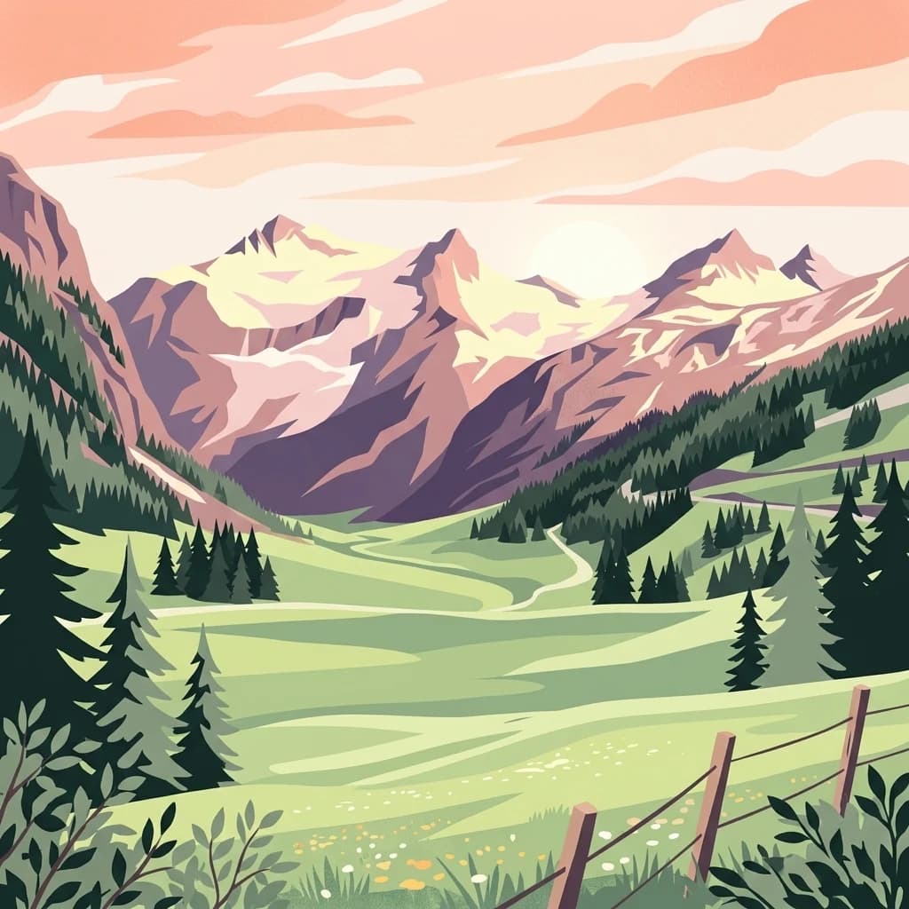
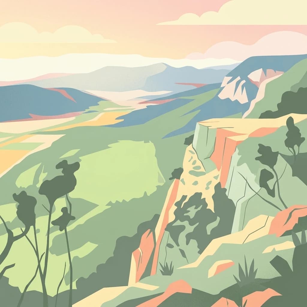
Gesäuse National Park
Explore Austria's dramatic river gorge and rugged peaks.
Gesäuse National Park, in Styria, Austria. Landscapes: mountains, valleys, and rivers.
- Area
- 110 km²
- Established
- 2002
- IUCN
- II
- Relief
- Mountain
Geographic exploration of alpine terrain and protected land in the Seetal Alps
Examine the geographic distribution of protected areas located in the vicinity of Zirbitzkogel. This analysis offers a regional perspective on the alpine landscapes, mountainous terrain, and natural reserves surrounding this summit, helping to identify how various protected lands connect across the Styrian region and beyond.

The high peak of the Seetal Alps, where Swiss pine forests meet alpine plateaus and rare mountain wildlife.
Zirbitzkogel is the highest summit of the Seetal Alps in Austria, rising to 2,396 metres above sea level in the state of Styria near the border with Carinthia. It sits just south of the upper Mur valley and dominates the surrounding landscape with a clearly alpine character that belies its relatively modest elevation. The mountain is shaped by crystalline rock, slate, gneiss and granite, with its relief carved by ice age glaciers and later slope movements. Dense spruce forests climb toward the subalpine zone, where they give way to scattered stands of spruce, larch and Swiss pine. Higher still, ragged sedge grasslands and almost level plateaus surround the summit, with wind-exposed ground dominated by Alpine Azalea and lichens. Beyond its scenery, Zirbitzkogel is recognized for its ecological importance. Its summit region was historically known as a breeding site for the Eurasian dotterel, and the area itself is noted for rare butterfly species, small mountain tarns, and a spring-rich terrain. The wider Zirbitzkogel region has been part of the Natura 2000 network since May 2006, marking it out as a protected area of European significance for hiking, nature observation, and quiet alpine exploration.

See the ranked park cluster in its geographic setting
Geographic proximity and regional environment comparisons across nearby protected landscapes

North
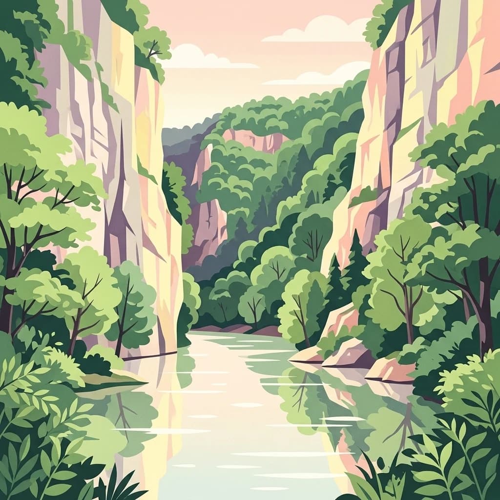
Explore Austria's dramatic river gorge and rugged peaks.
Gesäuse National Park, in Styria, Austria. Landscapes: mountains, valleys, and rivers.

South
A cross-border protected area defined by tectonic uplift and deep alpine valleys.
Geopark Karawanken showcases a profound geological record formed by tectonic plate convergence. The protected area features sharp mountain massifs, subterranean karst systems, and deep-cut gorges that reveal the underlying structural complexity of the alpine range, offering a clear view of how tectonic forces shape regional geography.

West
A protected alpine landscape and UNESCO Biosphere Reserve in the Austrian Alps
Discover the geographic character of Nock Mountains National Park, where the Gurktal Alps transition into sweeping, grass-covered dome summits. This protected area offers a look at a unique Tertiary land surface that survived the last Ice Age, supporting a mosaic of larch forests, alpine pastures, and high-altitude lakes that define the regional geography of southern Austria.

North
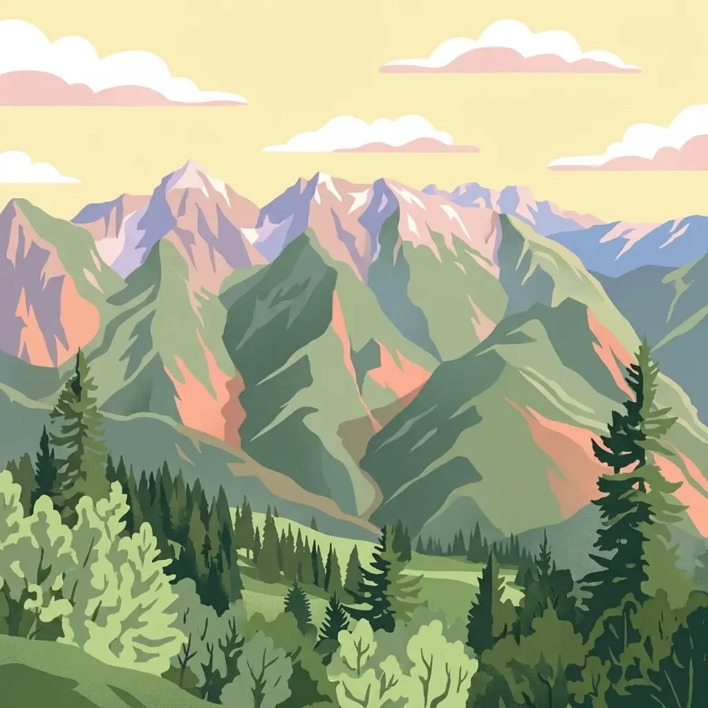
Explore mapped boundaries and unique alpine terrain.
Kalkalpen National Park, in Upper Austria, Austria. Landscapes: mountains, forests, and karst.

Southwest
Julian Alps geography, glacial lakes, and karst terrain.
Triglav National Park is Slovenia's premier protected area, covering 880 square kilometers of the Julian Alps. This page details its dramatic alpine geography, including Mount Triglav, glacial valleys, and significant karst features. Understand the mapped boundaries and landscape context of this national park, a key entry in the MoriAtlas geographic discovery resource for understanding protected lands.

West
Major protected area in the heart of the Austrian Alps
Hohe Tauern National Park protects a grand scale of alpine terrain, including towering summits above 3,000 meters and the longest glacial systems in the country. This atlas record provides insights into the park's vertical landscape, encompassing glacial valleys, waterfalls, and diverse ecological zones that define the High Tauern mountain range in Austria.

Northwest
Protected high alpine plateau and extensive karst systems
The Loser Plateau is a distinctive high-altitude nature reserve in the Salzkammergut region of Austria. This protected area features expansive limestone pavements, complex karst sinkholes, and massive mountain crags that dominate the skyline above Lake Altaussee. It provides a unique window into high alpine geology, showcasing fossil-rich layers and an intricate network of documented cave systems that rank among the most significant in the Eastern Alps.

East
A preserved riparian corridor in southeastern Austria
The Lafnitztal protected area serves as a primary reference site for riverine conservation in Austria. It features a complex network of meandering river reaches, alluvial forests, and moorgrass meadows that bridge the gap between the Eastern Alps and the Pannonian basin, creating a unique study of Central European lowland geography.

South
Mapped protected wetlands of the Ljubljana Marsh region
Naturreservat Iški morost serves as a primary conservation site for the distinct wet meadow habitats of the Ljubljana Marsh. This reserve demonstrates the intersection of wetland geography and bird conservation, protecting a crucial, coherent landscape that is rare in contemporary Slovenian lowlands.

East
Mapped terrain, peat bogs, and ancient forests in Hungary.
As Hungary's youngest national park, Őrség National Park offers a distinctive protected landscape defined by rolling hills, ancient woodlands, and rare peat bogs. This entry provides detailed geographic context, mapping its boundaries and showcasing its natural terrain. Discover the unique ecosystem, shaped by centuries of traditional land use and its subalpine climate, presented within MoriAtlas for structured exploration and regional geographic understanding.

Northwest
Mapped natural terrain and protected area exploration.
Berchtesgaden National Park, in Bavaria, Germany. Landscapes: mountains, valleys, and lakes.

South
Dinaric highland exploration and protected terrain mapping.
Ternowaner Wald is a prominent limestone plateau located in southwestern Slovenia. Characterized by deep karst phenomena including sinkholes and the Great Ice Cave in Paradana, the area represents a critical ecological junction of mixed Dinaric beech and fir forests. This overview details the plateau boundaries, tectonic features, and protected status of this diverse highland geography.

West
High-altitude mountain terrain and glacial systems in Austria
Hohe Tauern National Park, in Austria.

Northeast
A limestone plateau mountain at the Alpine-Pannonian transition
Located in Lower Austria, Hohe Wand Nature Park encompasses a distinct limestone plateau and dramatic southeastern cliffs. Its protected status reflects the convergence of Alpine and Pannonian geography, offering a unique opportunity to study karst geology, exposed cliff habitats, and the transition zone between high mountain ranges and the Vienna Basin lowlands.

Northeast
Natural terrain and protected boundaries in Lower Austria
The Vienna Woods encompass a distinct geographic region where sandstone ridges meet limestone formations. This protected landscape provides a dense network of forest habitats, river gorges, and significant peaks overlooking the Danube. Its structure traces the edge of the Alps, offering a rich study in regional geology, elevation gradients, and the intersection of natural wilderness with the surrounding basin environment.

Northwest
A comprehensive look at a protected Bavarian mountain reserve
Naturwald Kraxenbach offers a deep dive into the montane ecosystems of the German-Austrian border. This nature reserve protects over 200-year-old forest stands and distinct holly habitats within the steep valleys of the Chiemgauer Alps, providing an essential study of natural forest development in a historical forestry region.

South
Discover its profound underground river canyon and doline geography.
Škocjan Caves Regional Park in Slovenia is a protected karst landscape of global importance, renowned for its vast subterranean system and the Reka River's underground journey. This site, a UNESCO World Heritage designation, features dramatic collapse dolines like Mala and Velika dolina, alongside immense cave chambers that illustrate classic karst hydrology. It serves as a key reference point for understanding regional geology and protected area networks within southeastern Europe's unique terrains.

Southeast
Explore protected area boundaries and natural terrain.
Medvednica Nature Park, in Croatia. Landscapes: mountains, valleys, and forests.

South
A canyon-like river valley and natural reference for karst phenomena
Val Rosandra stands as a defining protected area within the Friuli Venezia Giulia region, characterized by its sharp limestone cliffs, narrow gorges, and the distinct Supet waterfall. Its unique geological layering creates a compact environment where contrasting climates produce an extraordinary botanical intersection, set against a rich backdrop of historical remnants ranging from Roman aqueducts to former railway paths.
Geographic measurements, not driving distances
Calculated between the nearest points of both park boundaries.
Estimated from one mapped park location to the nearest boundary of the other park.
Estimated between the mapped locations of both parks.
Deepen your understanding of Zirbitzkogel through detailed geographic analysis and mapped terrain data. This MoriAtlas entry provides a structured look at the summit's alpine ecosystems, glacial relief, and its standing as a core protected landscape within the Austrian Seetal Alps region.