North
Loango National Park
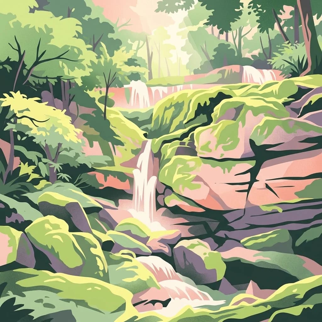
Explore savanna, forest, beach, and lagoon ecosystems in this vital national park.
Loango National Park, in Gabon. Landscapes: beaches, coasts, and forests.
- Area
- 1,550 km²
- Established
- 2002
- IUCN
- II
- Relief
- Lowland
Discover regional park distribution and surrounding coastal landscape geography
Navigate the geographic surroundings of Zone humide de Petit Loango to identify nearby protected areas and similar coastal wetland landscapes. This regional atlas view provides a clear map of protected boundaries across the Ogooué-Maritime territory, illustrating how the reserve sits within a wider mosaic of coastal estuaries, lagoons, and forest zones.
Related tags
A vast Ramsar-listed coastal wetland complex on Gabon's Atlantic shoreline.
Zone humide de Petit Loango is a large protected wetland in southwestern Gabon, recognized internationally as a Ramsar site since 1986. It lies within the Gabonese coastal sedimentary basin, a low-lying plain that stretches inland from the Atlantic Ocean, and spans the departments of Etimboué and Ndougou in Ogooué-Maritime Province. Covering roughly 4,800 square kilometers in total, the site is composed of three complementary management units: the Petit Loango Fauna Reserve, the Iguéla Hunting Domain, and the Ngové-Ndogo Hunting Domain. The wetland's significance stems from the size and ecological richness of this combined coastal mosaic of mangroves, lagoons, estuaries, and wet forest. Its Ramsar designation recognizes both its value for waterbirds and wider biodiversity and its role as a representative example of Gabon's Atlantic wetlands. Although not a national park in the strict institutional sense, the site is closely associated with the better-known Loango National Park, and the two together form an important complex of coastal protected landscapes in the Gulf of Guinea region.
See the ranked park cluster in its geographic setting
Distance ranked regional park geography and surrounding protected landscapes
North
Explore savanna, forest, beach, and lagoon ecosystems in this vital national park.
Loango National Park, in Gabon. Landscapes: beaches, coasts, and forests.
East
Geographic overview of a key Central African protected area.
Moukalaba-Doudou National Park represents a significant protected area in southeastern Gabon, covering 4,500 square kilometers of diverse terrain. The park is defined by its unusual interaction between humid tropical rainforest and expansive savanna grasslands, marking it as a critical ecological transition zone in the Congo Basin region.
North
Explore the geography of Gabon's expansive lowland coastal reserve
Examine the geographic boundaries and protected landscape of Réserve de Wonga Wongué, a crucial site in Gabon that features a blend of forest, hill, and plateau terrain. This reserve provides a comprehensive look at coastal river systems, marshes, and the habitats of central African megafauna along the Atlantic shore, highlighting its role as a Ramsar Wetland of International Importance and its evolving identity as a conservation area.
Northeast
Explore the natural terrain and park boundaries of this national park.
Waka National Park in Gabon represents a vital protected landscape for geographic exploration. This dedicated detail page offers insight into the park's specific mapped area and its place within the country's broader natural terrain. Understand its context as a national park, contributing to the atlas of protected areas in Central Africa. Discover the geographic identity of this significant natural reserve.
Southeast
Explore mapped park boundaries and regional landscape context.
Delve into the geographic identity of Mayumba National Park, a significant protected area situated in Gabon. This detail page provides atlas-style insights into the park's mapped boundaries, its position within the equatorial geography of Central Africa, and its role as a national park. Understand the protected landscape's environmental context and its atlas significance.

Northeast
Explore mapped boundaries and natural terrain in Central Africa.
Lopé National Park, in Gabon. Landscapes: forests, grasslands, and rivers.
North
Mapped boundaries and regional natural context.
Pongara National Park is a designated national park within Gabon, offering a unique opportunity for structured exploration of protected lands. Users can investigate its specific geographic setting, understand its mapped boundaries, and appreciate its place within the regional landscape context. This entry provides a factual foundation for understanding the park's identity as a protected natural area and its contribution to Gabon's geography.

Southeast
Explore its national park status and geographic context.
Conkouati-Douli National Park is a protected area situated in the Kouilou Department, offering a focused point for geographic and landscape discovery. This detail provides an atlas-style perspective on its mapped boundaries and its contribution to the regional geography. Understand the park as a distinct natural landscape and a key component of conservation within its geographic setting.
East
Explore the geographic extent and conservation context of this national park.
Birougou National Park is an important protected area situated in Gabon, offering a distinct focus for geographic and atlas-based discovery. This national park serves as a significant element within the country's network of conservation landscapes, providing a focal point for understanding mapped terrain and regional geographic patterns. Users can explore its protected boundaries and gain insight into its specific environmental context within Central Africa, making it a vital entry for atlas exploration of Gabon's natural heritage.
North
Explore Gabon's vital mangrove ecosystems and coastal protected areas.
Akanda National Park in Gabon is a significant protected area celebrated for its expansive mangrove forests and critical role in supporting migratory bird populations. Located along the Atlantic coast, this park's unique landscape at the nexus of tidal waters and coastal terrain makes it a valuable site for understanding regional ecology and mapped protected lands. It serves as a primary destination for exploring the natural geography and conservation significance of West African coastal environments.
North
Explore its mapped boundaries and regional landscape.
Crystal Mountains National Park is a designated national park offering critical insights into its protected landscape and geographic setting. Users can explore the mapped boundaries of this protected area, understand its regional terrain, and gain context within Woleu-Ntem Province through structured geographic data. This page provides the foundational atlas information for comprehending the park's conservation significance and natural features.
East
A managed savanna and forest mosaic reserve in the Haut-Ogooué province.
Spanning 14,000 hectares of sandstone terrain, Parc de la Lékédi represents a distinct protected landscape in Gabon. The reserve merges conservation goals with scientific research on primates, utilizing a network of lakes and riverine corridors that support a high concentration of forest and savanna species in a highly managed, ecologically significant environment.
Northeast
Explore the mapped boundaries of this national park.
Altos de Nsork National Park stands as a designated national park within Equatorial Guinea, offering a distinct protected landscape. This entry provides essential atlas-driven details, emphasizing its geographic setting and mapped park boundaries. Understand its regional context and its significance as part of the conservation network in Central Africa, contributing to a richer understanding of mapped natural terrains.
North
Explore regional geography and park boundaries.
Monte Alén National Park, a designated national park in Equatorial Guinea, offers a unique focal point for understanding protected landscapes. This entry provides detailed geographic context, highlighting the park's mapped boundaries and its significance within the atlas of Central African natural terrain. Investigate the terrain and regional setting of Monte Alén National Park for structured geographic discovery.

Northeast
Explore its waterfalls, diverse ecosystems, and mapped geographic context.
Ivindo National Park, in Gabon. Landscapes: mountains, rivers, and waterfalls.

Northwest
Mapped boundaries and regional terrain of this protected area.
Delve into the geographic specifics and protected landscape identity of Obo National Park, situated within the island nation of Sao Tome and Principe. This page offers an atlas-driven perspective on the park's mapped boundaries, surrounding regional geography, and its significance as a protected natural area. Understand the fundamental landforms and territorial context that characterize this important conservation zone.
East
Mapped boundaries and regional protected-area context.
Delve into the protected landscape of Ogooué-Leketi National Park, a national park situated in Gabon. This entry provides crucial context for understanding the park's geographic footprint and its role as a conservation area. Examine the mapped terrain and discover how Ogooué-Leketi National Park fits into the regional geography of Central Africa, offering an atlas-driven perspective on its protected status.
Northeast
Protected tropical lowland forest along the Ivindo River
Situated in northeastern Gabon, the Ipassa-Makokou Biosphere Reserve protects a vital segment of the Congolese-Guinean rainforest. This area provides deep insight into forest dynamics through decades of consistent monitoring, showcasing an unbroken canopy and high biodiversity density within a key Central African corridor.
Northeast
Explore the mapped terrain and protected landscape of this national park.
Gain a structured understanding of Minkébé National Park, a designated national park situated in Gabon. This destination focuses on the park's protected landscape, its distinct mapped boundaries, and its contribution to the regional geography of Central Africa. Examine how its protected status shapes the natural terrain and offers a unique angle for geographic discovery.
Geographic measurements, not driving distances
Calculated between the nearest points of both park boundaries.
Estimated from one mapped park location to the nearest boundary of the other park.
Estimated between the mapped locations of both parks.
Browse the detailed geography and map-based features of this significant Gabonese wetland. Through the MoriAtlas platform, analyze the spatial distribution of the Petit Loango Fauna Reserve and its integration into the wider coastal ecosystem of the Ogooué-Maritime province.