Mori Atlas logo
Protection category

Understanding Category V protected areas shaped by long-term human-nature interaction across the UK.

United Kingdom Protected Landscape/Seascape: Exploring IUCN Category V Parks and Natural Areas

Discover the significant ecological, cultural, and scenic value of IUCN Category V protected areas within the United Kingdom. This dedicated route focuses on Protected Landscape/Seascape designations, showcasing how the enduring interaction between people and nature has created unique environments across the UK's geography. Explore the mapped boundaries and regional distribution of these significant protected areas, offering a distinct atlas perspective on the United Kingdom's conservation landscapes.

United Kingdom Protected Landscape/Seascape: Exploring IUCN Category V Parks and Natural Areas
Parks in this category

Browse distinct cultural and ecological landscapes across the UK, tracing their geographic distribution.

United Kingdom Protected Landscape/Seascape Parks: Explore the National List of Conserved Areas
Explore the complete list of Protected Landscape/Seascape parks and protected areas in the United Kingdom, detailing regions shaped by the long-term interaction of people and nature. Utilize this filtered view to compare specific protected landscapes, tracing their geographic distribution and understanding their national conservation context.
National parkCumbriaMountain

Lake District National Park

Mapped mountain terrain and glacial valleys in Cumbria

Delve into the geography of Lake District National Park, a protected area renowned for its dramatic mountainous terrain, U-shaped glacial valleys, and stunning natural lakes. This atlas perspective highlights the park's unique landscape features, mapped boundaries, and its significance within Cumbria, offering a comprehensive view for geographic discovery.

2,292 km²1951TemperateV
National parkUnited Kingdom

Peak District

Mapped boundaries and natural terrain context for this UK national park.

Investigate the Peak District National Park, a cornerstone of the United Kingdom's protected natural areas. This MoriAtlas entry provides essential details on its geographic scope, mapped boundaries, and landscape characteristics. Engage with structured data to understand how this national park fits into the atlas of the United Kingdom, supporting detailed geographic and protected-area discovery for researchers and explorers.

1,440 km²1951V
National parkWalesMountain

Snowdonia National Park

Mountain terrain, glacial lakes, and regional geography.

Snowdonia National Park offers a profound exploration of mountainous protected landscapes in North Wales. This page details the park's mapped boundaries, revealing a terrain shaped by glaciation, featuring dramatic peaks like Snowdon, steep valleys, and pristine glacial lakes. Understand its geographic identity within the United Kingdom and how its protected status contributes to the regional landscape context, providing a unique focus for atlas-based discovery.

2,142 km²1951TemperateV
Watercolor illustration of mountains, forest, and a winding path
National parkScotlandMountain

Cairngorms National Park

Mapped boundaries and arctic-alpine geography.

As the United Kingdom's largest national park, Cairngorms National Park in Scotland presents a vast expanse of distinctive arctic-alpine terrain and ancient Caledonian forests. This protected landscape offers a unique opportunity to explore mapped geographic features, from its extensive mountain plateaus to its vital river systems. Discover the contours and context of this significant natural area within the broader atlas of Scotland's protected lands.

4,528 km²2003TemperateV
Watercolor painting of green mountains, a loch, and pinkish islands
National parkScotlandMountain

Loch Lomond and The Trossachs National Park

Mapping Scotland's Highland Boundary Fault and diverse natural terrain.

As Scotland's first national park, Loch Lomond and The Trossachs National Park offers a prime example of a protected landscape shaped by significant geological features. This atlas entry highlights its strategic location along the Highland Boundary Fault, which delineates distinct highland and lowland terrains. Users can explore the park's extensive network of lochs, including Loch Lomond, its mountainous Munros, and its native woodland ecosystems, providing a rich geographic context for discovery.

1,865 km²2002TemperateEasy access
Watercolor illustration of a chalk cliff, green rolling hills, pink wildflowers, and a setting sun
National parkSouth East England

South Downs National Park

Iconic chalk downland, coastal cliffs, and mapped terrain.

South Downs National Park is a premier protected landscape in South East England, celebrated for its unique chalk downland terrain and dramatic coastal formations. This page provides detailed geographic context for the park, highlighting its rolling hills, dry valleys, and ancient woodlands. Discover the park's mapped boundaries and its significance within England's protected areas, offering a structured atlas view for landscape exploration.

1,627 km²2010TemperateV
National parkNorth YorkshireMountain

Yorkshire Dales National Park

Explore mapped boundaries and distinctive limestone terrain.

Yorkshire Dales National Park offers a rich tapestry of mapped natural landscapes, characterized by its iconic limestone valleys, U-shaped glacial formations, and rolling heather-clad moorlands. Situated within North Yorkshire, this protected area showcases a unique karst geology, evident in features like Malham Cove and extensive cave systems. The park's traditional dry-stone walls and working farms contribute to a living cultural landscape, making it a prime destination for atlas-driven geographic discovery and understanding regional terrain.

2,178 km²1954TemperateModerate access
Watercolor illustration of a tall stone tor on a grassy hillside with a winding river, hills, and soft clouds in the sky
National parkDevonMountain

Dartmoor

Mapped protected area with significant Bronze Age remains.

Dartmoor National Park represents a distinctive granite upland in Devon, England, characterized by its dramatic tors and expansive moorland. This protected landscape is globally significant for its dense concentration of prehistoric archaeological sites, including stone circles, standing stones, and ancient settlements. Exploring Dartmoor offers a unique insight into Britain's regional geography, mapped terrain, and enduring connection to ancient human history.

954 km²1951TemperateModerate access
National parkPembrokeshireMarine

Pembrokeshire Coast National Park

Explore unique seaside terrain and regional geography.

Delve into the Pembrokeshire Coast National Park, a premier protected landscape recognized for its extraordinary coastal formations and diverse natural terrain. This atlas entry details the park's distinct mapped boundaries, from its iconic limestone cliffs and sea stacks to its sheltered estuaries and inland Preseli Hills. Understand how this significant national park contributes to the protected area map of Pembrokeshire and offers unparalleled opportunities for geographic discovery along the Welsh coast.

629 km²1952TemperateEasy access
Watercolor illustration of a coastal scene with a sandy beach, rocky cliffs, and green hills under a bright sky
National parkNorth YorkshireMountain

North York Moors

Discover mapped moorland, dales, and coastlines.

The North York Moors National Park is a vital protected landscape in North Yorkshire, celebrated for its extensive heather moorland and distinctive deeply incised dales. This page provides an atlas-style exploration of the park's geography, highlighting its unique terrain, mapped boundaries, and its integral role within the regional landscape context. Understand the diverse natural features that define this iconic national park, from the upland plateau to the dramatic Jurassic coast.

1,430 km²1952TemperateModerate access
National parkNorthumberlandMountain

Northumberland National Park

Explore its mapped boundaries, Roman heritage, and remote moorland terrain.

Northumberland National Park protects over 1,050 square kilometers of remote and stunning natural beauty in northern England, bordering Scotland. This page provides a structured overview of its protected landscape, focusing on its geographic context within the county of Northumberland, its designation as a National Park, and its renowned status as Europe's largest Dark Sky Park. Users can discover the park's characteristic moorland terrain, the archaeological significance of Hadrian's Wall, and the vast expanses of Kielder Forest, offering an atlas-level understanding of this unique frontier landscape.

1,050 km²1956TemperateModerate access
Watercolor illustration of a mountain range with a winding river and colored hills
National park

Exmoor National Park

Mapped terrain, moorland, and dramatic coastal geography.

Discover Exmoor National Park, a vast protected area in South West England celebrated for its sweeping heather moorland, dramatic coastline with the highest sea cliffs on mainland Britain, and deep, ancient wooded valleys. This national park offers a unique landscape for atlas-based exploration, revealing its distinct geography, mapped boundaries, and rich terrain shaped by centuries of natural processes and human activity.

692 km²1954TemperateModerate access
National parkWalesMountain

Brecon Beacons National Park

Discover mapped terrain, park boundaries, and regional geography.

Brecon Beacons National Park, officially Bannau Brycheiniog, stands as a premier protected area within Wales, covering over 1,344 square kilometers of striking mountainous terrain. This national park is defined by its dramatic Old Red Sandstone ranges, including Pen y Fan, South Wales' highest peak, and features diverse landscapes from heather moorland to extensive river valleys. Its mapped boundaries encompass unique geological features, significant historical sites, and provide context for regional geographic exploration, making it a key destination for understanding protected lands in the UK.

1,344 km²1957TemperateModerate access
Watercolor illustration of a winding lake surrounded by green hills and distant mountains under a pastel sky
National parkEngland

New Forest National Park

Mapped heathland, ancient woodlands, and pastoral traditions.

Explore New Forest National Park, a nationally significant protected area in England renowned for its unique blend of ancient royal forest history, traditional pastoral practices, and biologically rich lowland habitats. This page provides an atlas-focused view of its mapped boundaries, distinctive terrain, and geographic context within England, highlighting its value as a living landscape shaped by centuries of common grazing rights and supporting rare wildlife.

566 km²2005V
National park

The Broads

Explore mapped waterways and protected reedbed ecosystems.

The Broads National Park offers a singular protected wetland landscape with over 200 kilometers of navigable waterways across its numerous shallow lakes, or 'broads.' Shaped by medieval peat excavations and natural processes, this area presents a unique geography of reedbeds and grazing marshes, punctuated by historic windmills. Discover the mapped extent of this protected landscape, its river systems, and its vital role in regional geography through structured atlas data.

303 km²1989TemperateModerate access
Country pattern

Explore United Kingdom's Category V protected areas, where historic human interaction creates distinct landscapes.

United Kingdom's Protected Landscape/Seascape Areas: Exploring IUCN Category V Parks
IUCN Category V, Protected Landscape/Seascape, identifies areas where prolonged human interaction with nature has created distinct environments of significant ecological, cultural, and scenic value. In the United Kingdom, these protected areas, such as the Peak District and Loch Lomond, exemplify how traditional land use helps preserve unique biodiversity and characteristic regional forms.

Matching parks

15

These parks and protected areas currently define how Protected Landscape/Seascape appears across United Kingdom.

Category focus

A protected area where the long-term interaction of people and nature has created a distinct landscape or seascape with significant ecological, cultural, and scenic value.

Representative parks

Lake District National ParkPeak DistrictSnowdonia National ParkCairngorms National ParkLoch Lomond and The Trossachs National ParkSouth Downs National ParkYorkshire Dales National ParkDartmoorPembrokeshire Coast National ParkNorth York Moors
Management profile

People and nature

Protected Landscape/Seascape
IUCN Category V recognizes that some of the world's most valuable conservation landscapes are not places without people, but places shaped by a long and continuing interaction between people and nature. In these areas, biodiversity, cultural identity, local livelihoods, scenic quality, and historical land-use patterns are often deeply intertwined. The category is used where safeguarding the integrity of that interaction is itself essential to conservation. Category V is therefore especially relevant to lived-in landscapes and seascapes whose value depends on continuity, stewardship, and the maintenance of characteristic ecological and cultural patterns over time.

Definition

A Protected Landscape/Seascape is a protected area where the interaction of people and nature over time has produced an area of distinct character with significant ecological, biological, cultural, and scenic value, and where safeguarding the integrity of this interaction is vital to protecting and sustaining the area and its associated nature conservation and other values. The category is not defined by the absence of human presence, but by the quality and significance of a long-evolved relationship between communities, land or sea use, and nature.

Key characteristics

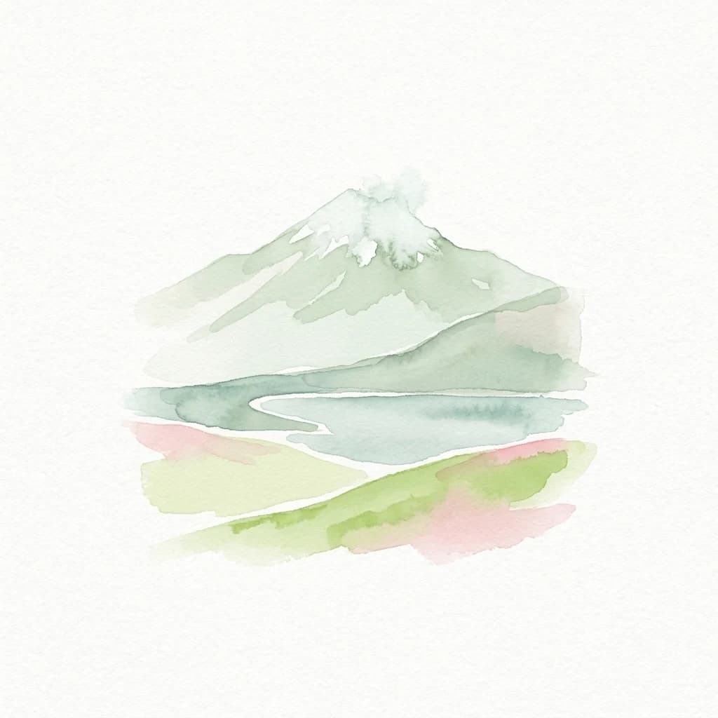
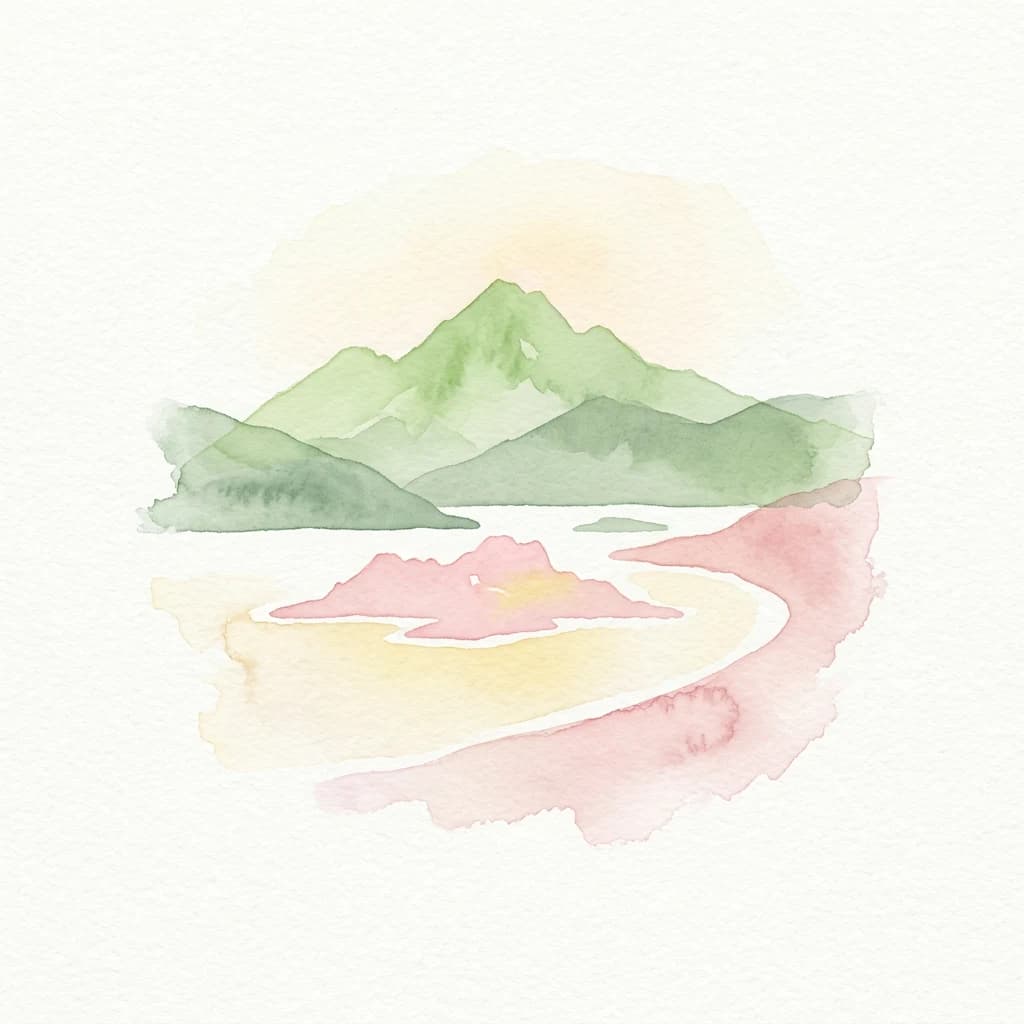
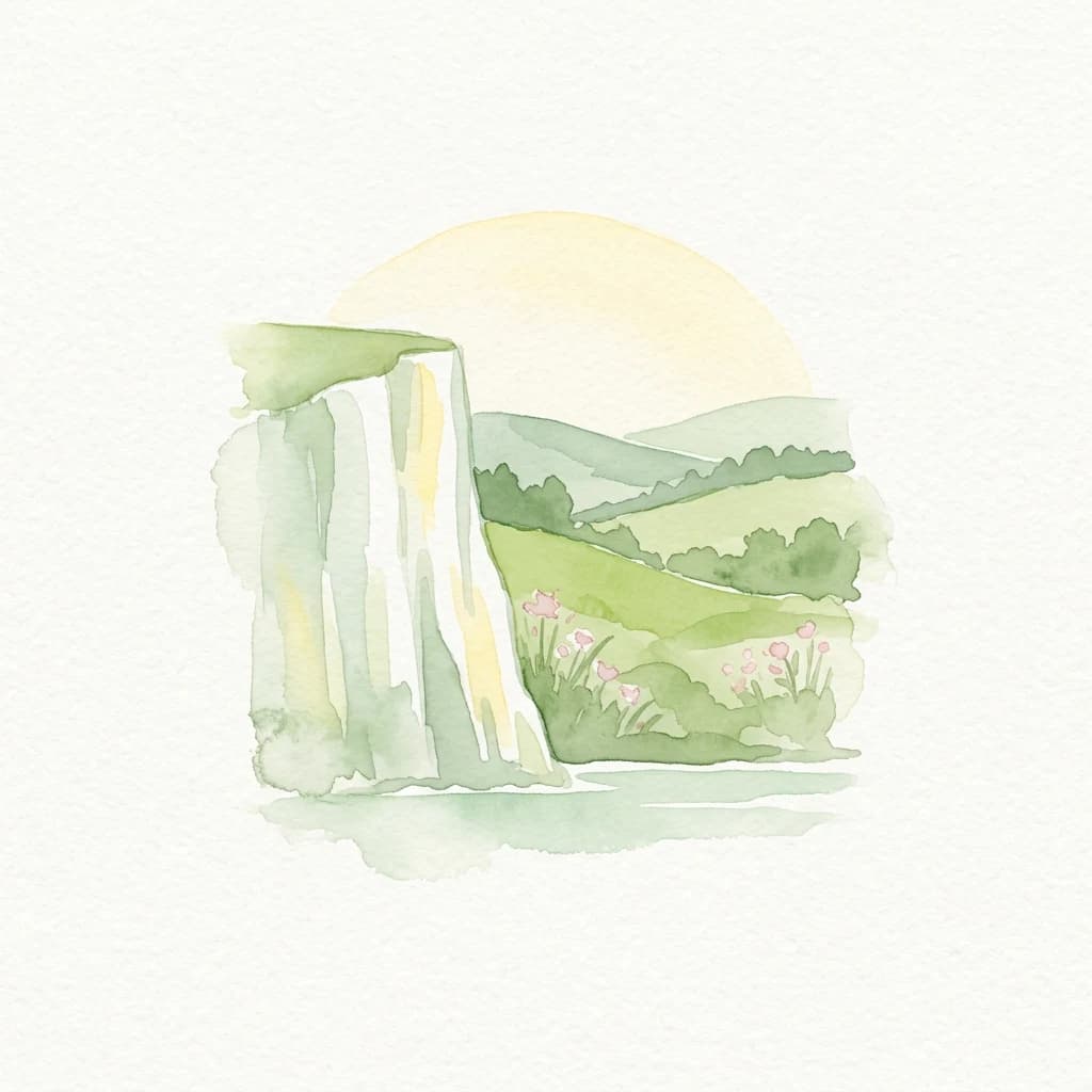
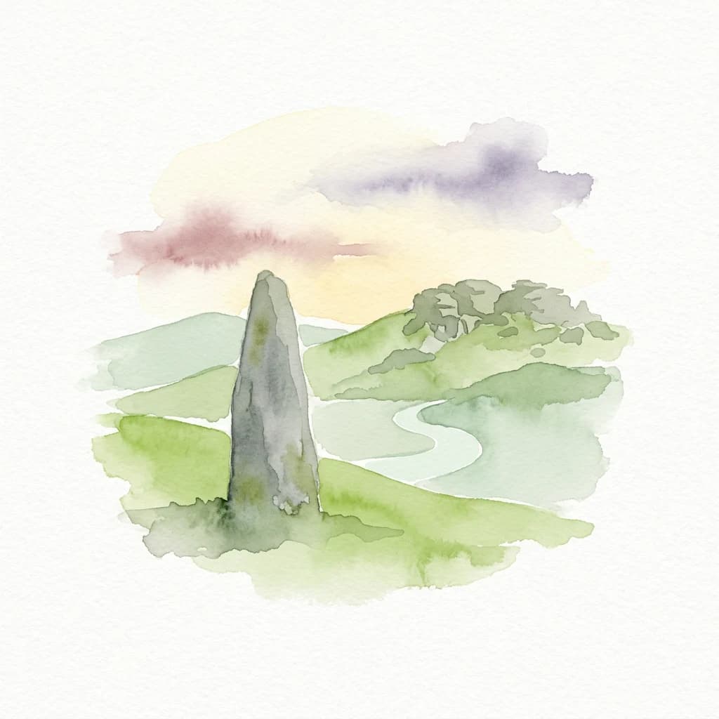
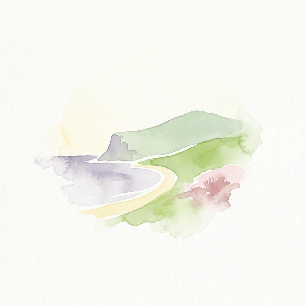
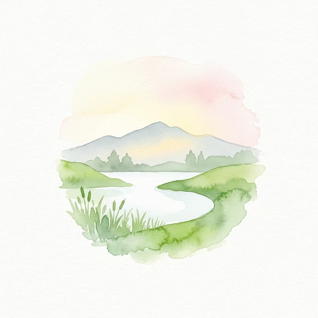
Category V areas are often recognizable as coherent lived-in landscapes or seascapes with strong identity and visible continuity between ecological systems and human practice. They may include traditional agricultural mosaics, terraced valleys, pastoral uplands, island seascapes, cultural coastlines, forest-agriculture patterns, or mixed landscapes where settlement, heritage, biodiversity, and scenic values reinforce one another. The conservation interest often lies not only in habitats or species, but also in the texture of the whole place: its land-use patterns, cultural memory, local management traditions, landscape form, ecological connectivity, and visual character. These areas are frequently more socially inhabited and economically active than stricter categories, but their management seeks to keep use compatible with long-term landscape quality and biodiversity.

Management focus

Management in Category V is usually integrative, collaborative, and place-based. Rather than separating conservation from human life, it aims to guide land and sea use so that ecological, scenic, and cultural values remain mutually supportive. This may involve planning controls, support for traditional management practices, restoration of degraded features, visitor management, heritage protection, sustainable local economies, and governance arrangements that work across public authorities, private owners, communities, and civil society. Because these places are often dynamic rather than static, management is less about freezing a landscape in time and more about steering change in ways that maintain its defining character, ecological function, and social meaning.

Protection purpose

The purpose of Category V is to conserve landscapes and seascapes where nature and people have shaped one another over time in ways that produce high ecological, cultural, and scenic value, and to keep that relationship viable into the future through careful stewardship.

Management objective

Typical objectives include maintaining the characteristic quality and identity of a landscape or seascape, sustaining biodiversity associated with traditional land or sea uses, supporting communities and stewardship practices compatible with conservation, protecting scenic and cultural heritage values, guiding development away from forms that would degrade landscape integrity, encouraging sustainable tourism and local economies, and strengthening long-term resilience of the whole area as a living conservation landscape.

Global context
Wider background behind Protected Landscape/Seascape
This reference block covers the broader history and global examples that define Protected Landscape/Seascape as an IUCN management category, rather than the country-specific park pattern shown elsewhere on the page.

Category history

Category V grew out of a broadening conservation understanding that not all valuable protected places are 'untouched' nature. In many parts of the world, especially in Europe and other long-settled regions, biodiversity and scenic identity are closely tied to long histories of farming, grazing, fishing, woodland use, settlement, and cultural adaptation. Conservation policy gradually moved toward recognizing that these lived-in landscapes could be worthy of protected status in their own right. The IUCN category system formalized this through Category V, giving international legitimacy to protected areas where the continuity of human-nature interaction is central rather than incidental. The category has become especially important for regional identity, connectivity, buffer functions, and conservation at the scale of working landscapes.

Global examples

Examples commonly linked with Category V include traditional mountain valleys, terraced agricultural regions, coastal cultural landscapes, island seascapes, mixed pastoral-woodland systems, and nationally designated protected landscapes where both biodiversity and long-shaped cultural scenery are central. In Europe in particular, many regional parks, protected landscapes, and protected seascapes align with Category V when their management focuses on maintaining a valued human-shaped landscape with strong ecological and cultural significance.

More categories

Compare United Kingdom's diverse IUCN conservation classifications and protected area categories.

Explore Other IUCN Protected Area Categories in the United Kingdom
Explore United Kingdom's other IUCN protected area categories, including National Parks, to understand the nation's diverse conservation commitments. Compare distinct protection levels and management objectives across different categories, tracing how each contributes to preserving specific natural and cultural landscapes throughout the country.

IUCN category ii

National Park

A large natural or near-natural protected area managed to safeguard ecological processes, characteristic species, and ecosystems while also supporting education, recreation, and compatible visitor use.

Example parks

Corcovado National Park, Arthur's Pass National Park, Lakeside National Park

Understanding United Kingdom's Mapped Geography, Diverse Protected Landscapes, and Regional Park Distribution

Frequently Asked Questions About National Parks and Protected Areas in the United Kingdom
Explore common inquiries regarding national parks and other protected areas across the United Kingdom, including their geographic spread and conservation significance. These FAQs provide essential context for understanding the varied terrain, iconic natural landmarks, and dedicated protected landscapes found within England, Scotland, Wales, and Northern Ireland.
MoriAtlas Explorer

Continue Exploring United Kingdom Protected Landscape/Seascape Category V Parks

Deepen your geographic understanding by browsing additional Protected Landscape/Seascape protected areas within the United Kingdom. This route provides a focused atlas view of Category V sites, helping you compare the distinct characteristics of these human-shaped natural environments and their national distribution. Continue to discover the complex interplay of conservation and cultural heritage across the UK's mapped landscapes.