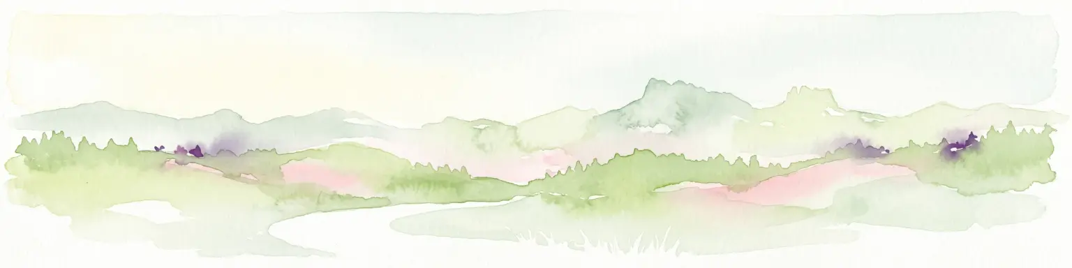
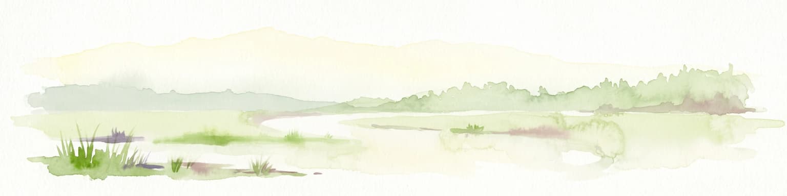
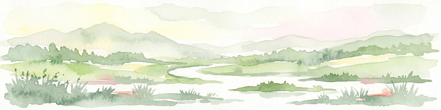
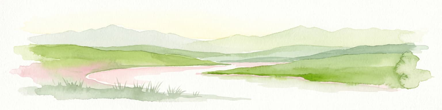
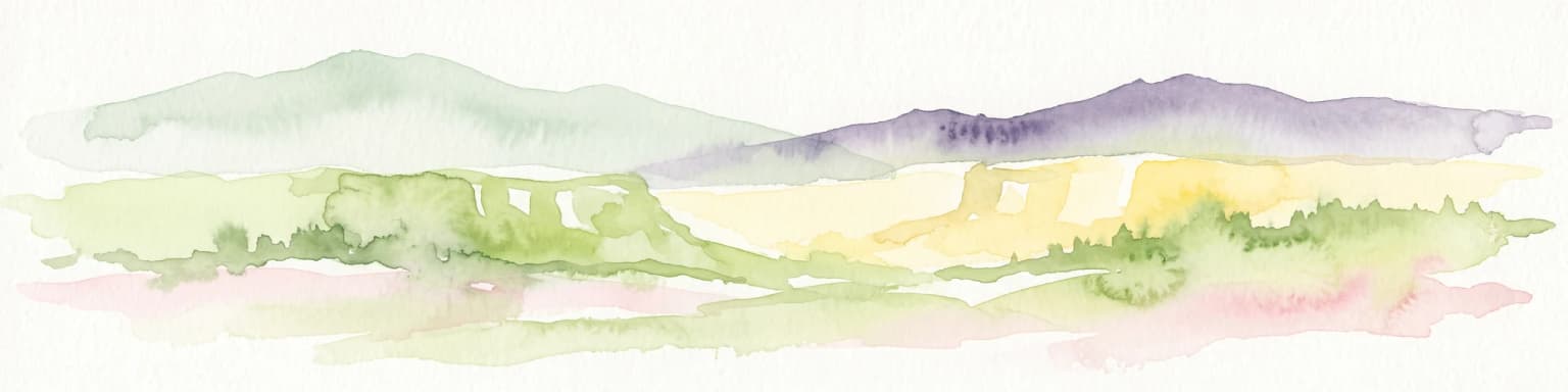
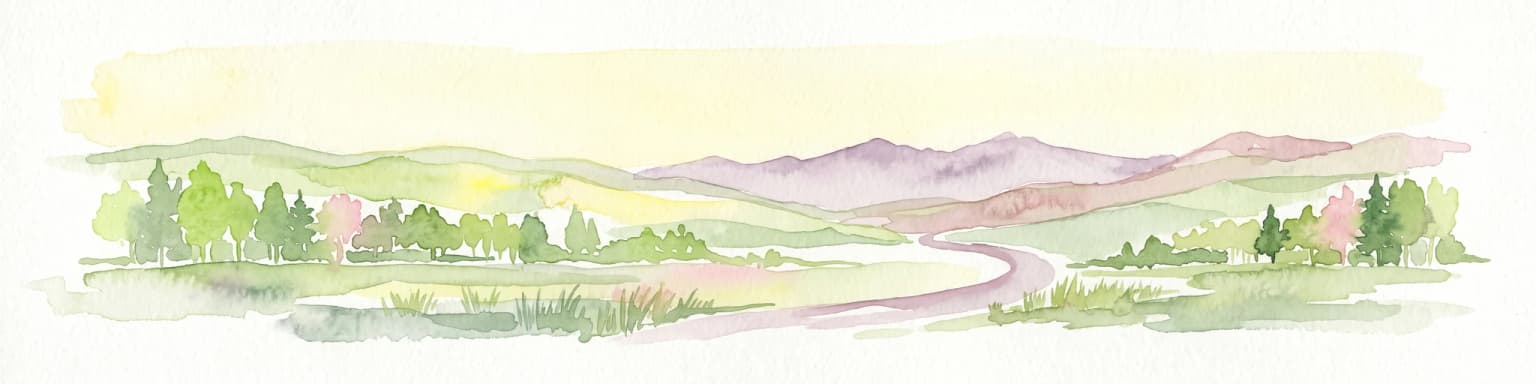
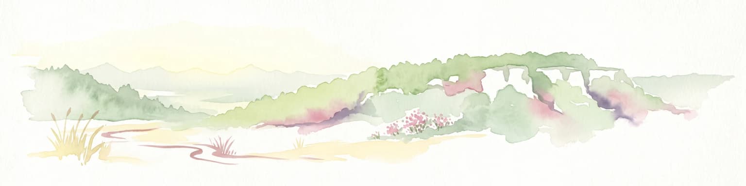
A narrow protected ribbon of Aare floodplain landscape between Thun and Bern, framed by the Bernese Alps and the Belpberg molasse hills.
Aarelandschaft zwischen Thun und Bern
The Aarelandschaft zwischen Thun und Bern is a nationally significant protected landscape in the Swiss Mittelland, designated as object number 1314 in the Federal Inventory of Landscapes and Natural Monuments of National Importance (BLN). It follows a narrow, roughly twenty kilometer long corridor along the course of the Aare river from the outskirts of Thun to the Elfenau and Eichholz riparian zone at the edge of Bern, covering approximately 1,040 hectares. The protected zone contains a mix of comparatively untouched riverside scenery beneath the Belpberg and heavily engineered river sections that have been reshaped by 19th and 20th century flood control works.
Beyond the river itself, the landscape includes fragments of floodplain forest, wet meadows, groundwater springs known locally as Giessen, and small tracts of cultural land shaped by agriculture, infrastructure, and recreation. Smaller core areas within the BLN perimeter receive additional protection as nature reserves, amphibian spawning sites, moorlands of national significance, or Emerald Network sites under the Bern Convention. A long-term river revitalization program called aarewasser is giving parts of the canalized corridor back to natural flood dynamics.
The area matters as one of the last substantial lowland floodplain remnants in the densely populated Aaretal and as a connecting ecological link between forested landscapes in the Gantrisch area and the Emmental. It combines ecological function, drinking water protection for the Bern region, flood control, and a beloved regional recreation corridor close to two of Switzerland's mid-sized cities.