Mori Atlas logo
Nearby park discovery

Explore the geographic distribution of protected landscapes and coastal habitats near this park.

Regional Protected Areas and National Parks Surrounding Akanda National Park in Gabon

Trace the spatial relationship between Akanda National Park and neighboring protected areas across the coastal geography of Gabon. This collection highlights surrounding wild lands and mapped conservation zones, providing a clear perspective on the regional landscape distribution and physical proximity of nearby protected environments.

Related tags

Mangrove forestsCoastal wetlandsMigratory birdsMarine conservationRamsar site

Coastal mangrove sanctuary and migratory bird stronghold near Libreville

Akanda National Park

Akanda National Park is a coastal protected area located in northwestern Gabon, situated just north of the capital city Libreville. The park encompasses approximately 540 square kilometers of mangrove forests and tidal beach habitats along the Gulf of Guinea, protecting critical ecosystems that are rare even on a continental scale. Established in 2002 as part of Gabon's ambitious national park system, Akanda represents one of thirteen parks created to showcase the country's remarkable biodiversity while promoting sustainable tourism and conservation. The park's location on the Atlantic coast places it at the interface of marine and terrestrial environments, creating a rich mosaic of habitats that support both marine life and abundant bird populations.

Location
Gabon
Park type
National park
Established
2002
Area
540 km²
Akanda National Park Protected Area
Regional park map

See the ranked park cluster in its geographic setting

Nearby parks around Akanda National Park

This regional map shows the same 19 nearby parks ranked below around Akanda National Park. Select a ranked marker to highlight that park’s boundary where boundary data is available.
Reference park: Akanda National ParkRanked nearby parkSelected boundary: Akanda National Park19 nearby parks shown
19 nearby parks

Distance-ranked regional park geography and surrounding landscape comparison

Parks and Protected Areas Geographically Near Akanda National Park

Geographic separation metrics and directional vectors organize protected areas surrounding Akanda National Park into a structured comparative index. Analyzing regional park geography reveals broader conservation patterns across surrounding landscapes without assuming shared coastal or wetland habitats.
National parkGabon
23 km away#1 closest

South

Pongara National Park: Protected Landscape and Geographic Exploration in Gabon

Mapped boundaries and regional natural context.

Pongara National Park is a designated national park within Gabon, offering a unique opportunity for structured exploration of protected lands. Users can investigate its specific geographic setting, understand its mapped boundaries, and appreciate its place within the regional landscape context. This entry provides a factual foundation for understanding the park's identity as a protected natural area and its contribution to Gabon's geography.

Area
929 km²
Established
2002
IUCN
II
Relief
Lowland
National parkWoleu-Ntem Province
48 km away#2 closest

East

Crystal Mountains National Park: National Park Protected Area and Geographic Context in Woleu-Ntem Province

Explore its mapped boundaries and regional landscape.

Crystal Mountains National Park is a designated national park offering critical insights into its protected landscape and geographic setting. Users can explore the mapped boundaries of this protected area, understand its regional terrain, and gain context within Woleu-Ntem Province through structured geographic data. This page provides the foundational atlas information for comprehending the park's conservation significance and natural features.

Area
1,200 km²
Established
2002
IUCN
II
Relief
Mountain
Wildlife reserveEstuaire
71 km away#3 closest

South

Réserve de Wonga Wongué: Atlantic Coastal Protected Landscape and Wildlife Map

Explore the geography of Gabon's expansive lowland coastal reserve

Examine the geographic boundaries and protected landscape of Réserve de Wonga Wongué, a crucial site in Gabon that features a blend of forest, hill, and plateau terrain. This reserve provides a comprehensive look at coastal river systems, marshes, and the habitats of central African megafauna along the Atlantic shore, highlighting its role as a Ramsar Wetland of International Importance and its evolving identity as a conservation area.

Area
4,281 km²
Established
1972
National parkEquatorial Guinea
About 107 km away#4 closest

Northeast

Monte Alén National Park National Park: Mapped Protected Landscape in Equatorial Guinea

Explore regional geography and park boundaries.

Monte Alén National Park, a designated national park in Equatorial Guinea, offers a unique focal point for understanding protected landscapes. This entry provides detailed geographic context, highlighting the park's mapped boundaries and its significance within the atlas of Central African natural terrain. Investigate the terrain and regional setting of Monte Alén National Park for structured geographic discovery.

Area
2,000 km²
Established
1990
IUCN
II
Relief
Mountain
National parkCameroon
167 km away#5 closest

North

Campo Ma'an National Park: Essential Protected Landscape in Cameroon's Atlantic Biafran Forest

Mapped evergreen canopy and vital great ape habitat in a key conservation area.

Campo Ma'an National Park is a crucial protected area in Cameroon, spanning 2,680 square kilometers of dense Atlantic Biafran forest. Established for environmental compensation, it safeguards critical habitat for western lowland gorillas and central chimpanzees, alongside forest elephants and diverse birdlife. The park's landscape is defined by a persistent evergreen canopy ecosystem, offering a unique context for understanding Central African rainforest geography and protected land status.

Area
2,680 km²
Established
2000
IUCN
II
Climate
Tropical
National parkEquatorial Guinea
About 174 km away#6 closest

East

Altos de Nsork National Park: Equatorial Guinea's Protected Landscape and Map Context

Explore the mapped boundaries of this national park.

Altos de Nsork National Park stands as a designated national park within Equatorial Guinea, offering a distinct protected landscape. This entry provides essential atlas-driven details, emphasizing its geographic setting and mapped park boundaries. Understand its regional context and its significance as part of the conservation network in Central Africa, contributing to a richer understanding of mapped natural terrains.

Area
700 km²
Established
2000
IUCN
II
Relief
Highland
Marine protected areaCameroon
183 km away#7 closest

North

Parc national marin Manyange na Elombo-Campo: Marine Protected Area and Regional Geography

Coastal conservation mapping in the South Region of Cameroon

Spanning a vast offshore territory in the Atlantic Ocean, Parc national marin Manyange na Elombo-Campo represents a major step in Central African marine conservation. The park boundary encompasses complex seafloor topography and river-mouth influences that provide essential habitat for vulnerable marine species. This atlas entry provides a detailed look at its marine extent and its integration into the larger Gulf of Guinea protected corridor.

Area
42,364 km²
Established
2021
Relief
Lowland
Climate
Tropical
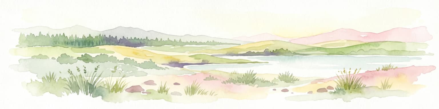
Watercolor painting of a landscape with grassy areas, a lake, and distant hills under a light sky
National parkGabon
190 km away#8 closest

Southeast

Lopé National Park

Explore mapped boundaries and natural terrain in Central Africa.

Lopé National Park, in Gabon. Landscapes: forests, grasslands, and rivers.

Area
4,910 km²
Established
2002
IUCN
II
Relief
Mixed relief
National parkGabon
229 km away#9 closest

Southeast

Waka National Park: A Mapped Protected Landscape in Gabon's Geography

Explore the natural terrain and park boundaries of this national park.

Waka National Park in Gabon represents a vital protected landscape for geographic exploration. This dedicated detail page offers insight into the park's specific mapped area and its place within the country's broader natural terrain. Understand its context as a national park, contributing to the atlas of protected areas in Central Africa. Discover the geographic identity of this significant natural reserve.

Area
1,060 km²
Established
2002
IUCN
II
Relief
Mountain
National parkGabon
256 km away#10 closest

South

Loango National Park

Explore savanna, forest, beach, and lagoon ecosystems in this vital national park.

Loango National Park, in Gabon. Landscapes: beaches, coasts, and forests.

Area
1,550 km²
Established
2002
IUCN
II
Relief
Lowland
National parkCameroon
278 km away#11 closest

North

Douala-Edéa National Park: Coastal Mangrove and Tropical Forest Protected Landscape

Explore Cameroon's vital protected national park geography.

Douala-Edéa National Park is a protected national park in Cameroon's Littoral Region, defined by its extensive coastal geography where tropical lowland equatorial forests merge with significant Atlantic mangrove ecosystems. This area, encompassing roughly 2,715 square kilometers along the Bight of Biafra and the Sanaga River estuary, offers rich context for understanding Central Africa's coastal protected lands and diverse natural landscapes.

Area
2,715.12 km²
Established
2018
IUCN
II
Relief
Lowland
National parkGabon
294 km away#12 closest

East

Minkébé National Park: Protected Area and Geographic Context in Gabon

Explore the mapped terrain and protected landscape of this national park.

Gain a structured understanding of Minkébé National Park, a designated national park situated in Gabon. This destination focuses on the park's protected landscape, its distinct mapped boundaries, and its contribution to the regional geography of Central Africa. Examine how its protected status shapes the natural terrain and offers a unique angle for geographic discovery.

Area
7,570 km²
Established
2002
IUCN
II
Relief
Upland
Wildlife reserveOgooué-Maritime
About 303 km away#13 closest

South

Zone humide de Petit Loango Wildlife Reserve: Regional Atlas and Protected Area Context

Extensive coastal wetland complex in Ogooué-Maritime, Gabon

Examine the geographic boundaries and landscape composition of Zone humide de Petit Loango. This Ramsar-recognized site in Ogooué-Maritime encompasses the Petit Loango Fauna Reserve alongside associated hunting domains, creating a unique coastal environment defined by dense mangrove networks, river estuaries, and inland freshwater swamps.

Area
4,800 km²
Established
1986
Relief
Lowland
Scope
Mixed
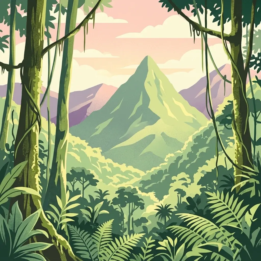
A digital illustration of a lush green rainforest with a prominent, sharp mountain peak in the center, framed by dense foreground tropical foliage and vines under a soft, pastel-colored sky.
Protected areaSao Tome and Principe
About 321 km away#14 closest

West

Obo National Park: Sao Tome and Principe's Protected Landscape and Geographic Context

Mapped boundaries and regional terrain of this protected area.

Delve into the geographic specifics and protected landscape identity of Obo National Park, situated within the island nation of Sao Tome and Principe. This page offers an atlas-driven perspective on the park's mapped boundaries, surrounding regional geography, and its significance as a protected natural area. Understand the fundamental landforms and territorial context that characterize this important conservation zone.

Area
195 km²
Established
2006
Relief
Mountain
Climate
Tropical
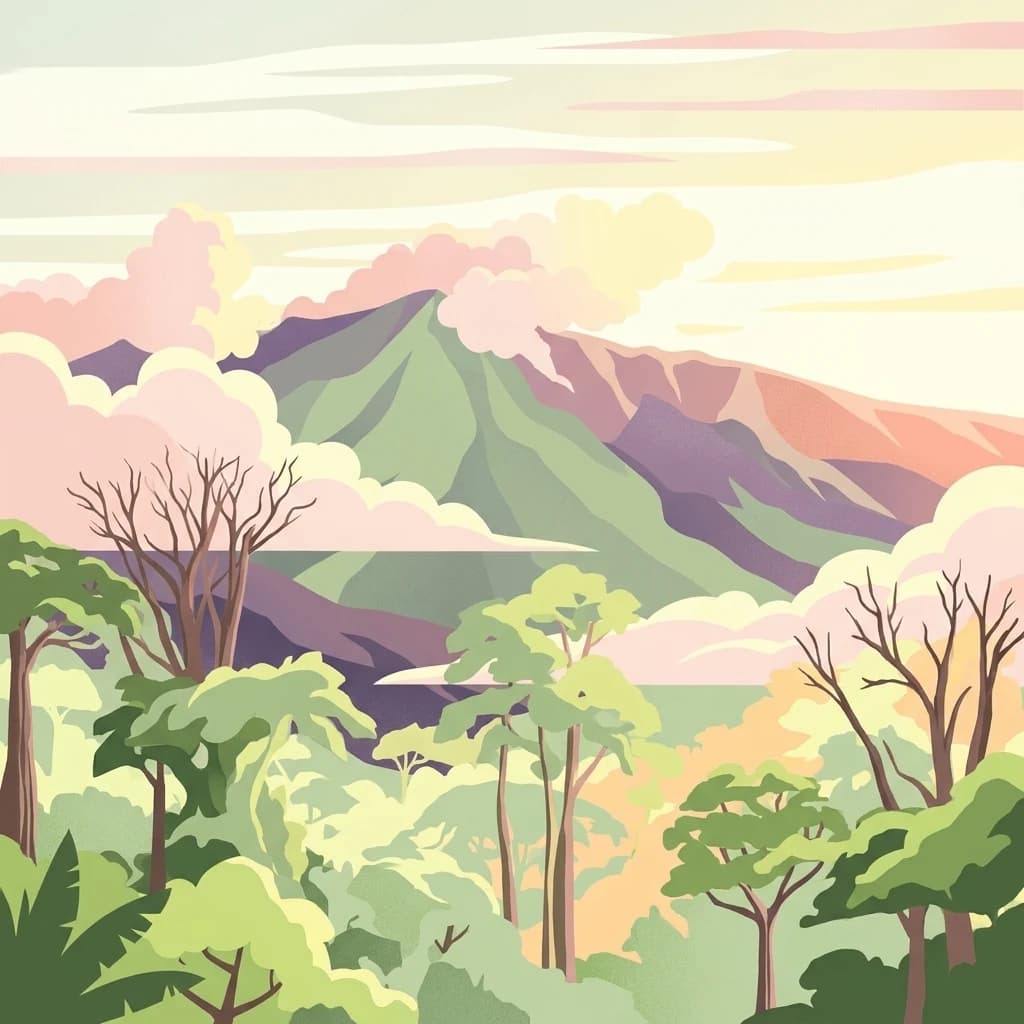
A stylized illustration of a green mountain peak rising above a dense tropical forest with soft, pastel-colored clouds.
National parkBioko Norte
About 327 km away#15 closest

North

Pico Basilé National Park: Volcanic Peak National Park and Protected Landscape

Explore Bioko Norte's unique montane terrain and rich avifauna.

Pico Basilé National Park is a critical conservation zone encompassing Equatorial Guinea's highest point, Pico Basilé volcano. This national park protects unique montane forest ecosystems and their diverse inhabitants, including several threatened primate species and a significant bird population, making it a key protected area on Bioko Island. Understand its geographic setting within Bioko Norte and its role as a vital natural landscape.

Area
300 km²
Established
2000
IUCN
II
Relief
Mountain
National parkGabon
About 329 km away#16 closest

South

Moukalaba-Doudou National Park: Protected Forest and Savanna Mosaic in Southeastern Gabon

Geographic overview of a key Central African protected area.

Moukalaba-Doudou National Park represents a significant protected area in southeastern Gabon, covering 4,500 square kilometers of diverse terrain. The park is defined by its unusual interaction between humid tropical rainforest and expansive savanna grasslands, marking it as a critical ecological transition zone in the Congo Basin region.

Area
4,500 km²
IUCN
II
Access
Access unknown
Scope
Terrestrial
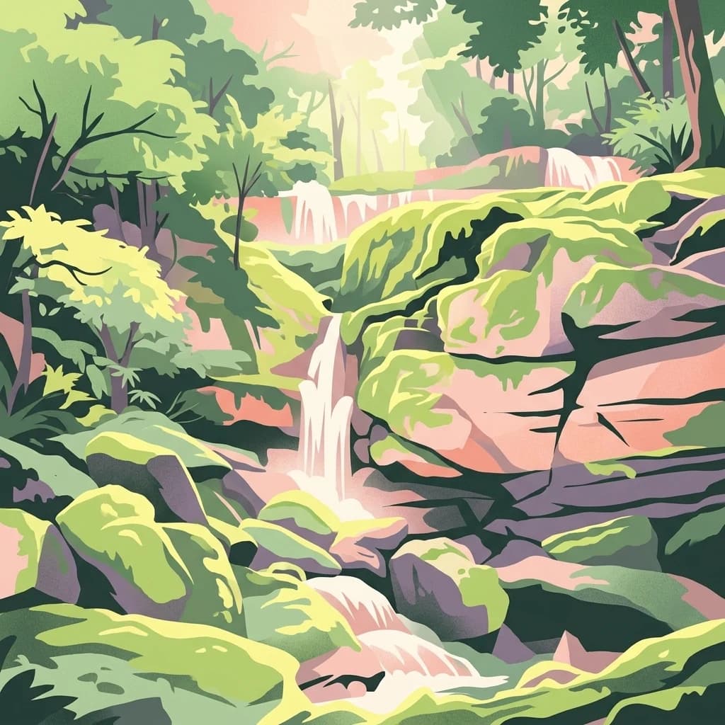
A digital illustration of a dense rainforest with tiered waterfalls flowing over mossy, rock-strewn terrain, rendered in warm, soft-toned colors.
National parkGabon
About 331 km away#17 closest

East

Ivindo National Park

Explore its waterfalls, diverse ecosystems, and mapped geographic context.

Ivindo National Park, in Gabon. Landscapes: mountains, rivers, and waterfalls.

Area
3,000 km²
Established
2002
IUCN
II
Relief
Mixed relief
Biosphere reserveGabon
About 347 km away#18 closest

East

Ipassa-Makokou Biosphere Reserve: Gabon Geographic and Ecological Profile

Protected tropical lowland forest along the Ivindo River

Situated in northeastern Gabon, the Ipassa-Makokou Biosphere Reserve protects a vital segment of the Congolese-Guinean rainforest. This area provides deep insight into forest dynamics through decades of consistent monitoring, showcasing an unbroken canopy and high biodiversity density within a key Central African corridor.

Area
150 km²
Established
1983
National parkGabon
About 379 km away#19 closest

Southeast

Birougou National Park: Mapped Protected Landscape and Regional Geography in Gabon

Explore the geographic extent and conservation context of this national park.

Birougou National Park is an important protected area situated in Gabon, offering a distinct focus for geographic and atlas-based discovery. This national park serves as a significant element within the country's network of conservation landscapes, providing a focal point for understanding mapped terrain and regional geographic patterns. Users can explore its protected boundaries and gain insight into its specific environmental context within Central Africa, making it a vital entry for atlas exploration of Gabon's natural heritage.

Area
690 km²
Established
2002
IUCN
II
Relief
Mountain
Distance methodology

Geographic measurements, not driving distances

How nearby park distances are calculated

Distances use park boundaries whenever the available geometry allows it. When one or both boundaries are missing, the mapped park locations provide a clearly labelled estimate. Every value represents straight-line geographic separation and does not use roads or routing.

Boundary distance

Calculated between the nearest points of both park boundaries.

Location-to-boundary estimate

Estimated from one mapped park location to the nearest boundary of the other park.

Mapped-location estimate

Estimated between the mapped locations of both parks.

MoriAtlas Explorer

Continue Exploring Akanda National Park's Geography and Protected Landscape

Discover the detailed geography, mapped boundaries, and ecological significance of Akanda National Park. Understanding its role as a critical West African mangrove ecosystem and migratory bird sanctuary offers deeper insight into Gabon's protected lands and coastal conservation efforts, enriching your understanding of regional natural landscapes.

Global natural geography