Mori Atlas logo
Nearby park discovery

Geographic mapping of protected terrain surrounding the Apuseni Mountains region

Protected Areas and Natural Landscapes Near Apuseni Natural Park in Romania

Navigate the regional landscape surrounding Apuseni Natural Park to identify neighboring protected areas and natural preserves. This atlas provides a focused look at the surrounding geography, tracing the distribution of protected terrain throughout the western Carpathian range and neighboring counties.

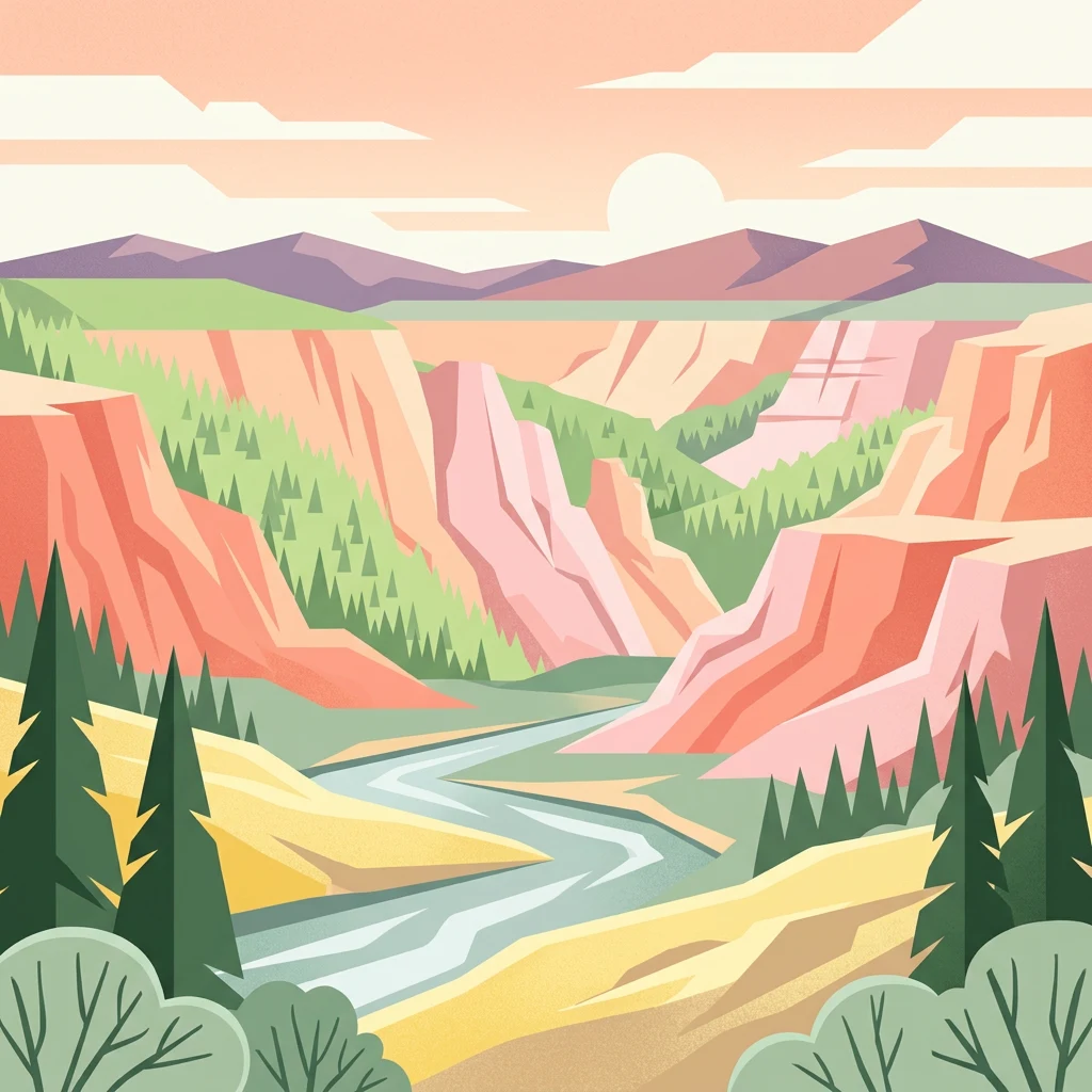
Stylized illustration of a river flowing through a canyon landscape with mountains in the background and pine trees in the foreground

Romania's karst wilderness in the Western Carpathians

Apuseni Natural Park

Apuseni Natural Park is a protected landscape spanning 75,784 hectares across three counties in western Romania, encompassing the dramatic karst terrain of the Apuseni Mountains. The park occupies a strategic position in the central-northern sector of the Apuseni range, with the Bihor Mountains to the south and the Vlădeasa Mountains to the north. This protected area was formally established in 1990 and declared through national legislation in 2000, holding IUCN Category V status as a protected landscape. The territory encompasses remarkable geological diversity including deep gorges, underground cave systems, karst plateaus, and glacial cirques, alongside extensive forests, alpine meadows, and pastureland typical of the Western Carpathians.

Location
Romania
Park type
Protected landscape
Established
1990
Area
757.8 km²
Apuseni Natural Park Protected Landscape
Regional park map

See the ranked park cluster in its geographic setting

Nearby parks around Apuseni Natural Park

This regional map shows the same 20 nearby parks ranked below around Apuseni Natural Park. Select a ranked marker to highlight that park’s boundary where boundary data is available.
Reference park: Apuseni Natural ParkRanked nearby park20 nearby parks shown
20 nearby parks

Distance-ranked collection and regional park geography for comparative analysis

Parks and Protected Areas Geographically Near Apuseni Natural Park

Examine the ranked collection of protected areas situated geographically near Apuseni Natural Park based on direct boundary measurements. This structured regional inventory provides clear geographic separation and recorded environmental context for comparative landscape studies.
Watercolor painting of a wetland with a calm lake, reeds, and distant forested hills
Protected landscapeBihor County
About 93 km away#1 closest

West

Cefa Natural Park Protected Landscape: Atlas and Geographic Context

Mapped wetland habitats and European bird migration routes.

Cefa Natural Park, designated as a protected landscape in Bihor County, Romania, offers significant insight into European wetland ecosystems and migratory bird patterns. Spanning 5,002 hectares, it features critical habitats such as marshes, floodplains, and the Rădvani Forest, positioned directly on the Pannonian, Bulgarian migration corridor. This park is a landmark for understanding regional geography and conservation efforts focused on migratory waterfowl and specialized halophytic vegetation. MoriAtlas provides the structured geographic data and mapped context necessary for detailed atlas-based discovery of this important protected area.

Area
50.02 km²
Established
2010
IUCN
V
Relief
Lowland
Watercolor painting of green rolling hills, a river, and distant mountains under a light sky.
Protected areaRomania
About 116 km away#2 closest

South

Hațeg Country Dinosaur Geopark: Mapped Protected Area within Romania's Geography

Explore the protected landscape and regional atlas context.

Discover the Hațeg Country Dinosaur Geopark, a distinct protected area situated within the rich geography of Romania. This entry provides detailed information on its mapped boundaries and landscape characteristics, serving as a crucial anchor for understanding its place in the Southeast European region. Explore the structured geographic data and atlas context that define this significant protected landscape.

IUCN
V
Scope
Terrestrial
Protected landscapeHunedoara County
About 119 km away#3 closest

South

Grădiștea Muncelului-Cioclovina Natural Park: Protected Landscape in Hunedoara County Atlas

Explore protected area geography and mapped boundaries.

Gain a structured understanding of Grădiștea Muncelului-Cioclovina Natural Park, a significant protected landscape located in Romania's Hunedoara County. This resource details its geographic position and mapped protected area extent, providing essential context for atlas exploration and regional landscape analysis. It serves as a focused entry point for understanding the park's unique geographic identity within its natural setting.

Area
381.84 km²
Established
2000
IUCN
V
Relief
Mountain
Watercolor illustration of a mountain range with forests, a lake, and distant hills under a light sky
National parkHunedoara County
About 129 km away#4 closest

South

Retezat National Park National Park: Protected Landscape and Regional Geography

Mapped boundaries and landscape context in Hunedoara County.

Retezat National Park is a key protected area featured within MoriAtlas, offering structured geographic data and map-based insights. This national park's protected landscape is situated in Hunedoara County, Romania, contributing significantly to the regional topography and natural context of the Southern Carpathians. Explore its mapped boundaries and understand its role as a distinct natural entity.

Area
380.47 km²
Established
1935
IUCN
II
Relief
Mountain
Watercolor illustration of a river flowing through a valley with mountains in the background
National parkBékés County
About 130 km away#5 closest

West

Körös-Maros National Park: National Park Identity and Békés County Landscape Context

Explore its mapped protected areas, wetlands, and steppe grasslands.

Körös-Maros National Park is a designated national park located in Békés County, Hungary, recognized for its expansive wetland ecosystems and steppe grassland habitats. This protected area plays a critical role in the geography of the Southern Great Plain, serving as a vital migration corridor for diverse bird populations. Users can explore the park's distinct landscape features, mapped protected boundaries, and its significance as a hub for avian conservation.

Area
501.34 km²
Established
1997
IUCN
V
Relief
Lowland
Protected landscapeSibiu County
About 138 km away#6 closest

Southeast

Dumbrava Sibiului Natural Park: Protected Landscape Atlas and Geographic Discovery

Explore the mapped natural terrain and regional context.

Dumbrava Sibiului Natural Park is a designated protected landscape offering a unique lens into Romania's natural geography. This entry provides detailed atlas-level information on the park's protected boundaries and its setting within Sibiu County, part of the historic Transylvania region. Understand the park's landscape character and its role in the regional geography through structured map data.

Area
9.93 km²
Established
2000
IUCN
V
Relief
Lowland
Watercolor illustration showing a river, grassy banks, distant trees, and hills under a soft sky
Protected areaRomania
About 138 km away#7 closest

West

Mureş Floodplain Natural Park: Romania Protected Area Atlas and Geographic Features

Explore mapped boundaries and regional landscape context.

Mureş Floodplain Natural Park is a designated protected area in Romania, significant for its geographic particularities and landscape features. This page provides an atlas-level exploration of the park, detailing its mapped boundaries and how it fits within the country's regional geography. Understand the essence of this protected landscape through structured data and geographic context, facilitating deeper exploration of Romania's natural reserves.

IUCN
V
Scope
Terrestrial
Water
Major water bodies
Watercolor illustration of a landscape with mountains, trees, and a river
Protected landscapeSibiu County
About 139 km away#8 closest

Southeast

Cindrel Natural Park: Protected Landscape within Sibiu County's Regional Geography

Mapped natural landscapes and protected area context.

Delve into the protected landscape of Cindrel Natural Park, situated in Sibiu County, Romania. This page offers a detailed geographic perspective, highlighting the park's mapped boundaries and its role within the broader natural terrain of the Southern Carpathians. Understand the structured atlas data that defines Cindrel Natural Park and its regional significance for protected land discovery.

Area
98.73 km²
Established
2000
IUCN
V
Relief
Mountain
Watercolor illustration showing a river flowing through a valley with green hills, trees, and snow-capped mountains in the background
National parkGorj County
About 144 km away#9 closest

South

Defileul Jiului National Park: Romania's Protected National Park Landscape in Gorj County

Explore maps, geography, and protected area context.

Defileul Jiului National Park is a vital protected natural area situated in Gorj County, Romania. This MoriAtlas page serves as a detailed entry point for understanding the park's specific geography, its mapped perimeters, and its significance within the regional landscape atlas. Discover the park's topographic features and its relationship to the surrounding terrain of the Southern Carpathians, providing essential context for geographic exploration.

Area
111.27 km²
Established
2005
IUCN
II
Relief
Mountain
Watercolor illustration of a river flowing through a valley with mountains and forests in the background
National parkRomania
About 148 km away#10 closest

South

Domogled-Valea Cernei National Park: National Park with Mapped Protected Landscape

Explore its protected boundaries and regional geography.

Domogled-Valea Cernei National Park is recognized as a National Park, offering a distinct protected landscape for atlas-based discovery. This page provides focused insights into its mapped geographic extent and the character of its natural terrain. Understand the park's role within Romania's protected areas network and its unique geographic identity. Utilize this structured view to navigate the park's features and its surrounding landscape context for informed exploration.

Area
612.11 km²
Established
2000
IUCN
II
Relief
Mountain
Watercolor painting depicting grasslands, hills, and a body of water.
National parkHungary
About 153 km away#11 closest

Northwest

Hortobágy National Park: A UNESCO Protected Steppe Landscape in Eastern Hungary

Explore the unique geography and mapped park boundaries of Hungary's first national park.

Hortobágy National Park is a monumental protected area in Eastern Hungary, recognized globally as the first national park established in the country and a UNESCO World Heritage site. This vast expanse of semi-natural grassland, known as the puszta, stretches across approximately 74,820 hectares, embodying over four millennia of pastoral traditions. The park's landscape is characterized by alkaline soils and sweeping horizons, offering a unique ecosystem with significant avian populations and preserved cultural landmarks. MoriAtlas provides structured geographic context and mapped details to understand this exceptional protected landscape.

Area
748.2 km²
Established
1973
IUCN
II
Relief
Lowland
Watercolor illustration of a landscape with mountains, forests, and a body of water
National parkRomania
About 162 km away#12 closest

South

Semenic-Cheile Carașului National Park: Romania's Protected Landscape Discovery

National Park Geography and Mapped Boundaries

Delve into Semenic-Cheile Carașului National Park, a protected landscape in Romania, with a focus on its atlas and geographic context. This page details the park's identity as a national park, its specific mapped boundaries, and its contribution to regional geographic understanding. Utilize MoriAtlas to explore the structured data that defines this protected area and its surrounding natural terrain, enhancing your comprehension of Romania's conservation landscapes.

IUCN
II
Scope
Terrestrial
Watercolor painting showing green hills, trees, and a river
National parkVâlcea County
About 175 km away#13 closest

Southeast

Cozia National Park: Protected Landscape and Regional Geography in Vâlcea County

Discover the mapped protected area in Romania's landscape.

Cozia National Park is a key national park situated within Vâlcea County, Romania. This page facilitates the exploration of its protected landscape, offering detailed insights into its geographic context and mapped features. Understand how Cozia National Park contributes to the regional geography and atlas of Romania's protected areas, providing a foundation for structured landscape discovery.

Area
171 km²
Established
2000
IUCN
II
Relief
Mountain
A minimalist watercolor painting showing rolling green hills and distant mountain ridgelines in soft pastel tones of green and violet against a white background.
Protected areaAlbania
About 178 km away#14 closest

North

Primeval Beech Forests of the Carpathians and Other Regions of Europe: Protected Area and Forest Atlas

A transnational network of old growth beech forest reserves across Europe.

Examine the geographic distribution and protected boundaries of the Primeval Beech Forests of the Carpathians and Other Regions of Europe. This site highlights the continent's most intact beech forest ecosystems, illustrating essential ecological processes from the Balkans and Carpathians to the Alps and Western Europe.

Area
583.53 km²
Established
2007
Relief
Mountain
Access
Access unknown
Watercolor illustration of a mountainous landscape with green forests, valleys, and distant mountains under a soft pink and green sky
National parkVâlcea County
About 178 km away#15 closest

Southeast

Buila-Vânturarița National Park: Romania's National Park in Vâlcea County Geography

Mapped protected landscape within Vâlcea County.

Delve into the specifics of Buila-Vânturarița National Park, a designated national park in Vâlcea County, Romania. This detailed entry focuses on its protected landscape identity and geographic placement, offering precise mapped boundary information relevant for atlas exploration. Understand how this national park contributes to the regional geography and protected area network, providing a foundational element for structured discovery of Romania's natural environments.

Area
41.86 km²
Established
2005
IUCN
II
Relief
Mountain
Protected landscapeMureș County
About 179 km away#16 closest

East

Defileul Mureșului Superior Natural Park: Protected Landscape Mapping and Geography

Explore Mureș County's premier protected landscape.

Access detailed mapping and geographic context for Defileul Mureșului Superior Natural Park. As a protected landscape situated in Romania's Mureș County, this entity offers crucial insights into regional natural terrain and protected area distribution. Explore its mapped boundaries and understand its significance within the broader atlas of protected lands.

Area
91.56 km²
Established
2007
IUCN
V
Relief
Mixed relief
National parkRomania
About 179 km away#17 closest

Northeast

Rodna Mountains National Park: Explore Protected Landscape and Geographic Atlas

Discover the mapped terrain and protected area context.

Rodna Mountains National Park represents a key protected landscape within Romania, offering rich opportunities for geographic discovery. This page provides detailed insight into its mapped boundaries and how it integrates into the regional terrain. Delve into the structured atlas data to understand the park's protected area status and its significance within the natural geography.

IUCN
II
Relief
Mountain
Scope
Terrestrial
Watercolor illustration of a mountainous landscape with rolling hills, a river, and green vegetation
Protected landscapeMaramureș County
About 187 km away#18 closest

Northeast

Maramureș Mountains Natural Park: Protected Landscape and Carpathian Geography

Explore the mapped boundaries and dramatic terrain of Romania's largest nature park.

Delve into the Maramureș Mountains Natural Park, a protected landscape covering extensive tracts of the northern Carpathian Mountains. This page provides detailed geographic context, showcasing the park's mapped boundaries, diverse alpine terrain, and its role within the broader regional geography of Maramureș County. Understand the natural features and protected area significance of this expansive Carpathian wilderness for structured atlas exploration.

Area
1,488.5 km²
Established
2004
IUCN
V
Relief
Mountain
Watercolor illustration showing mountains, forests, and meadows with soft color transitions.
National parkRomania
About 189 km away#19 closest

East

Călimani National Park: Romania's Premier National Park Protected Landscape

Explore mapped boundaries and regional geographic context.

Uncover the geographic identity of Călimani National Park, a designated national park in Romania. This resource offers detailed insights into its protected landscape, mapped terrain, and surrounding natural context. Navigate through its specific park boundaries and understand how it fits into the wider regional geography, providing a clear atlas-style overview for dedicated discovery.

Area
240.41 km²
Established
2000
IUCN
II
Relief
Mountain
Watercolor illustration showing rolling hills, scattered trees, and a soft pink sky
Protected landscapeMehedinți County
About 193 km away#20 closest

South

Mehedinți Plateau Geopark Protected Landscape: Karst Geography and Regional Context

Explore Romania's unique limestone formations and karst landscapes.

The Mehedinți Plateau Geopark in Mehedinți County, Romania, is a significant protected landscape celebrated for its extensive karst features. This page offers detailed insights into the park's mapped boundaries, including its famous natural bridges like Podul lui Dumnezeu, vast limestone pavements, and cave systems. Understand its position within the broader regional geography of southwestern Romania, providing a solid foundation for atlas-driven exploration of this geologically rich area.

Area
1,065 km²
Established
2005
IUCN
V
Relief
Upland
Distance methodology

Geographic measurements, not driving distances

How nearby park distances are calculated

Distances use park boundaries whenever the available geometry allows it. When one or both boundaries are missing, the mapped park locations provide a clearly labelled estimate. Every value represents straight-line geographic separation and does not use roads or routing.

Boundary distance

Calculated between the nearest points of both park boundaries.

Location-to-boundary estimate

Estimated from one mapped park location to the nearest boundary of the other park.

Mapped-location estimate

Estimated between the mapped locations of both parks.

MoriAtlas Explorer

Continue Exploring Apuseni Natural Park's Protected Landscape and Regional Geography

Deepen your understanding of Apuseni Natural Park by continuing to explore its specific geographic attributes and protected landscape features. MoriAtlas aids in situating this natural area within its broader regional atlas, allowing for comparative analysis and detailed mapping of protected lands. Investigate the park's distinct terrain and discover its significance as a protected landscape for informed geographic research.