Protected areaTransdanubia
About 0.8 km away#1 closest
Southwest

Lake Balaton
Volcanic witness mountains and tectonic wetland systems
Lake Balaton, in Transdanubia, Hungary.
- Area
- 600 km²
- Established
- 1989
- Relief
- Mixed relief
- Climate
- Temperate

Mapping regional landscapes and the geographic distribution of protected terrain
Examine the geographic context of the region surrounding Balaton Uplands National Park by mapping adjacent protected areas. This analysis provides a view into the volcanic hills, wetlands, and limestone terrain that define the surrounding regional geography. Discover how nearby protected landscapes share geological features and spatial proximity within the wider Hungarian protected area network.

Hungary's protected volcanic landscape along Lake Balaton's northern shore
Balaton Uplands National Park is a protected area in western Hungary encompassing the volcanic landscape of the Balaton Uplands region along the northern shore of Lake Balaton. Established in 1997 through the consolidation of six previously separate landscape protection areas, the park covers approximately 57,000 hectares across Veszprém and Zala counties. The park protects a distinctive terrain characterized by basalt volcanic cones, karst formations, dolomite plateaus, and wetlands. Its landscape tells a geological story spanning Quaternary volcanic activity, with notable features including the famous 'witness mountains' - isolated basalt peaks that rise dramatically from the surrounding terrain. The park's ecological diversity encompasses alkaline meadows, oak-hornbeam forests, wetlands, and rare volcanic rock habitats. Kis-Balaton, the western section, holds international significance as a Ramsar-designated wetland of importance to waterfowl.
See the ranked park cluster in its geographic setting
Geographic proximity and environmental comparison across surrounding protected landscapes
Southwest
Volcanic witness mountains and tectonic wetland systems
Lake Balaton, in Transdanubia, Hungary.
Northwest
Mapped Geographic Boundaries and Landscape Context
Fertő-Hanság National Park, in Győr-Moson-Sopron County, Hungary. Landscapes: lakes, wetlands, and grasslands.
Southeast
Explore the geography of alluvial forests and river-fed wetlands
Gemenc stands as a testament to natural floodplain dynamics, stretching along the Danube in southern Hungary as a vast corridor of alluvial woodland. The protected area encompasses a rich variety of riverine terrain, including meandering oxbows, islands, and diverse forest mosaics that host significant animal populations. Utilize this geographic reference to understand the landscape context and natural boundaries of one of the most prominent wetland reserves in the Carpathian Basin.
East
Discover protected landscapes, alkaline lakes, and bird habitats.
Kiskunság National Park, in Hungary. Landscapes: grasslands, wetlands, and dunes.
West
Mapped terrain, peat bogs, and ancient forests in Hungary.
As Hungary's youngest national park, Őrség National Park offers a distinctive protected landscape defined by rolling hills, ancient woodlands, and rare peat bogs. This entry provides detailed geographic context, mapping its boundaries and showcasing its natural terrain. Discover the unique ecosystem, shaped by centuries of traditional land use and its subalpine climate, presented within MoriAtlas for structured exploration and regional geographic understanding.

Northeast
Mapping Hungary's diverse terrain and protected natural areas.
Delve into Danube-Ipoly National Park, a significant protected area renowned for its extraordinary ecological diversity. This page explores the park's distinct landscapes, from the volcanic formations of the Börzsöny Mountains to the deep karst cave systems of the Pilis, set against the backdrop of the Danube and Ipoly river floodplains. Understand its geographic placement within Pest County and its role as a vital protected landscape for conservation and atlas-based discovery.
Northwest

Explore mapped wetland geography and birdwatching significance.
Neusiedler See-Seewinkel National Park showcases a rare steppe lake environment and extensive wetland habitats at the eastern edge of Austria, within the Burgenland region. This protected area is globally recognized for its exceptional avian diversity and the unique ecological mosaic formed by reed beds, salt marshes, and seasonal pools. Explore its mapped boundaries and distinctive Pannonian geography for a deep understanding of this vital European protected landscape.
Southeast
Mapping the protected river corridors and vital wetland ecosystems
Danube-Drava National Park, in Hungary. Landscapes: rivers, wetlands, and marshes.
Northwest
An endorheic lake system and critical wetland sanctuary.
Lake Neusiedl, in Austria. Landscapes: lakes, wetlands, and coasts.
Southeast

Mapping transboundary river corridors and floodplain habitats
Mura-Drava-Danube represents a major transboundary biosphere reserve following the Mura, Drava, and Danube rivers. This protected area comprises a mosaic of active river channels, gravel islands, and seasonal wetlands that support internationally important populations of fish and birds. As a key ecological corridor in Central Europe, it maintains rare floodplain dynamics and riparian habitats that have largely vanished from other lowland river systems.
Northwest
Mapped dry steppe, karst topography, and pannonian forest habitats
Rising abruptly from the Danube lowlands, Hundsheimer Berg preserves a compact range of crystalline and limestone hills. This nature reserve provides vital insights into the pannonian biogeographic region, featuring a diverse mosaic of rocky slopes and dry grasslands that support a high concentration of rare insects and plants.
Northwest
A vital conservation site featuring arid rock steppes and limestone slopes.
Located in the province of Lower Austria, Spitzerberg serves as a essential nature reserve protecting a rare concentration of Pannonian dry habitats. The site is defined by its steep-sided hill structure, rocky limestone outcrops, and thin soils that support a variety of specialized plant and animal species adapted to this arid environment.
Northwest
Mapped boundaries and vital riparian landscape in Lower Austria.
Danube-Auen National Park, in Lower Austria, Austria. Landscapes: rivers, forests, and wetlands.
South
Mapped protected area with significant geological heritage in Slavonia.
Papuk Nature Park stands as a cornerstone of geological discovery in Croatia, celebrated as the nation's first UNESCO Global Geopark. Within Požega-Slavonia County, its mountainous terrain features dramatic ridgelines, ancient rock formations like Sokoline stijene, and extensive forests. This protected area offers a unique landscape context for atlas-driven exploration, detailing its mapped boundaries and its critical role in preserving Slavonia's highland geography and geological heritage.
Southeast
Mapped natural terrain and protected landscape geography.
Delve into the protected landscape of Kopački Rit, a pivotal European wetland situated within Osijek-Baranja County, Croatia. This page offers a detailed look at its dynamic floodplain ecosystem, mapped water channels, marshes, and riparian forests, highlighting its importance for biodiversity and regional geography. Understand the park's extensive protected boundaries and its place in the broader continental atlas.
Southeast

Explore unique Pannonian Plain geography and rare habitats.
Subotička Peščara Protected Landscape offers a deep dive into an exceptional inland dune ecosystem, a key feature of Serbia's Pannonian Plain geography. This protected area's mapped terrain includes a mosaic of forest, steppe, and wetland habitats, supporting rare flora and fauna. Discover the unique contours of this aeolian landscape and its significance within the regional geographic context.
West
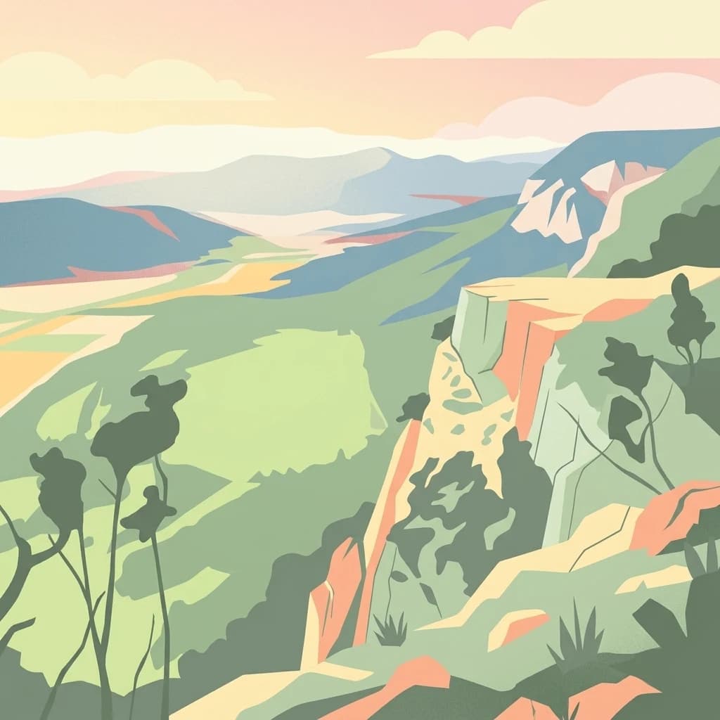
A preserved riparian corridor in southeastern Austria
The Lafnitztal protected area serves as a primary reference site for riverine conservation in Austria. It features a complex network of meandering river reaches, alluvial forests, and moorgrass meadows that bridge the gap between the Eastern Alps and the Pannonian basin, creating a unique study of Central European lowland geography.
Northwest
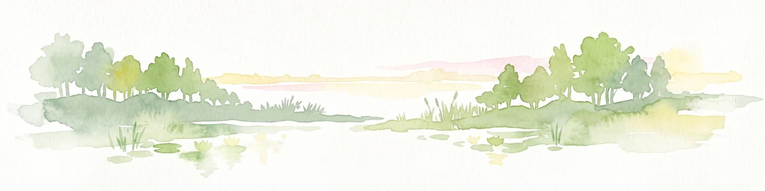
A limestone plateau mountain at the Alpine-Pannonian transition
Located in Lower Austria, Hohe Wand Nature Park encompasses a distinct limestone plateau and dramatic southeastern cliffs. Its protected status reflects the convergence of Alpine and Pannonian geography, offering a unique opportunity to study karst geology, exposed cliff habitats, and the transition zone between high mountain ranges and the Vienna Basin lowlands.
Northwest
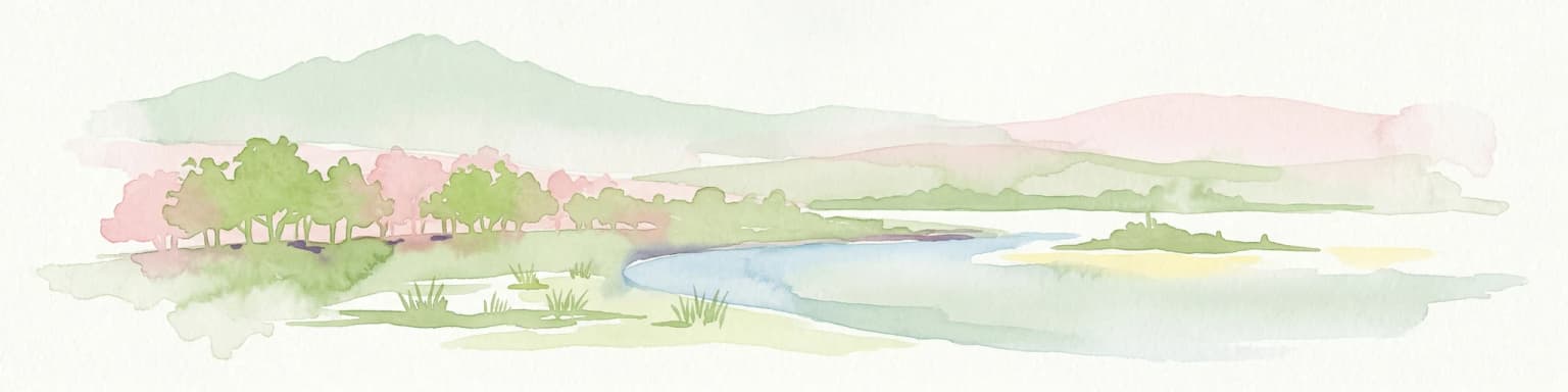
Riparian forests, oxbow lakes, and historic wetland ecosystems.
Lobau preserves the ecological memory of the Danube through a landscape of slow-moving water bodies and dense forest stands. Situated within Vienna, this protected area features a distinct topography of dry gravel terraces, reedy ponds, and riparian corridors, offering significant insights into the region's natural history and riverine geography.
Southeast
Understand the protected landscape and park boundaries of Lake Palić.
Delve into the specifics of Lake Palić, a designated protected area in Serbia. This resource offers a deep dive into the park's mapped landscape, helping to illustrate its protected boundaries and geographic significance. Gain a clear understanding of its regional context and its contribution to the atlas of protected natural areas within Serbia.
Geographic measurements, not driving distances
Calculated between the nearest points of both park boundaries.
Estimated from one mapped park location to the nearest boundary of the other park.
Estimated between the mapped locations of both parks.
Deepen your understanding of Balaton Uplands National Park by exploring its specific mapped terrain and protected landscape context. This structured approach reveals the intricate relationship between the park's volcanic geology, its surrounding regional geography, and its designation as a vital protected area. Continue your atlas journey to uncover the detailed geographic elements that define this significant Hungarian natural site.