Mori Atlas logo
Nearby park discovery

Regional landscape mapping and geographic distribution of protected lands in the La Paz Department

Protected Areas and National Parks Near Cotapata National Park and Integrated Management Natural Area

Examine the geographic layout and regional distribution of protected areas surrounding Cotapata National Park and Integrated Management Natural Area. This comparative atlas identifies nearby conservation landscapes, forest zones, and mountain terrains across the La Paz Department and neighboring regions to provide a clear view of local protected area clusters.

A stylized digital illustration of a mountainous landscape with a winding river in a lush green valley, surrounded by peaks under a soft sunset sky.

Andean cloud forest sanctuary in Bolivia's Yungas region

Cotapata National Park and Integrated Management Natural Area

Cotapata National Park and Integrated Management Natural Area is a protected area located in the Yungas region of La Paz Department in western Bolivia. Established in July 1993, the park occupies approximately 600 square kilometers of mountainous terrain in the northern Yungas, spanning the Nor Yungas and Pedro Domingo Murillo provinces. The Yungas ecosystem represents one of the most biodiverse regions in the world, forming a critical transition zone between the high Andean páramo grasslands and the Amazonian lowland forests. The park is situated roughly 50 kilometers northeast of La Paz, making it one of the more accessible protected areas for visitors arriving from Bolivia's capital city. As an Integrated Management Natural Area, the park balances conservation objectives with sustainable land-use practices, reflecting Bolivia's approach to managed protection of its natural heritage.

Location
Bolivia
Park type
National park
Established
1993
Area
600 km²
Cotapata National Park and Integrated Management Natural Area Atlas
Regional park map

See the ranked park cluster in its geographic setting

Nearby parks around Cotapata National Park and Integrated Management Natural Area

This regional map shows the same 20 nearby parks ranked below around Cotapata National Park and Integrated Management Natural Area. Select a ranked marker to highlight that park’s boundary where boundary data is available.
Reference park: Cotapata National Park and Integrated Management Natural AreaRanked nearby parkSelected boundary: Cotapata National Park and Integrated Management Natural Area20 nearby parks shown
20 nearby parks

Distance ranked regional park geography and surrounding protected landscapes

Parks and Protected Areas Geographically Near Cotapata National Park and Integrated Management Natural Area

Geographic distance measurements establish a ranked sequence of protected areas surrounding Cotapata National Park and Integrated Management Natural Area. Country context and recorded environmental characteristics provide structured comparison signals for analyzing regional park geography and surrounding terrain.
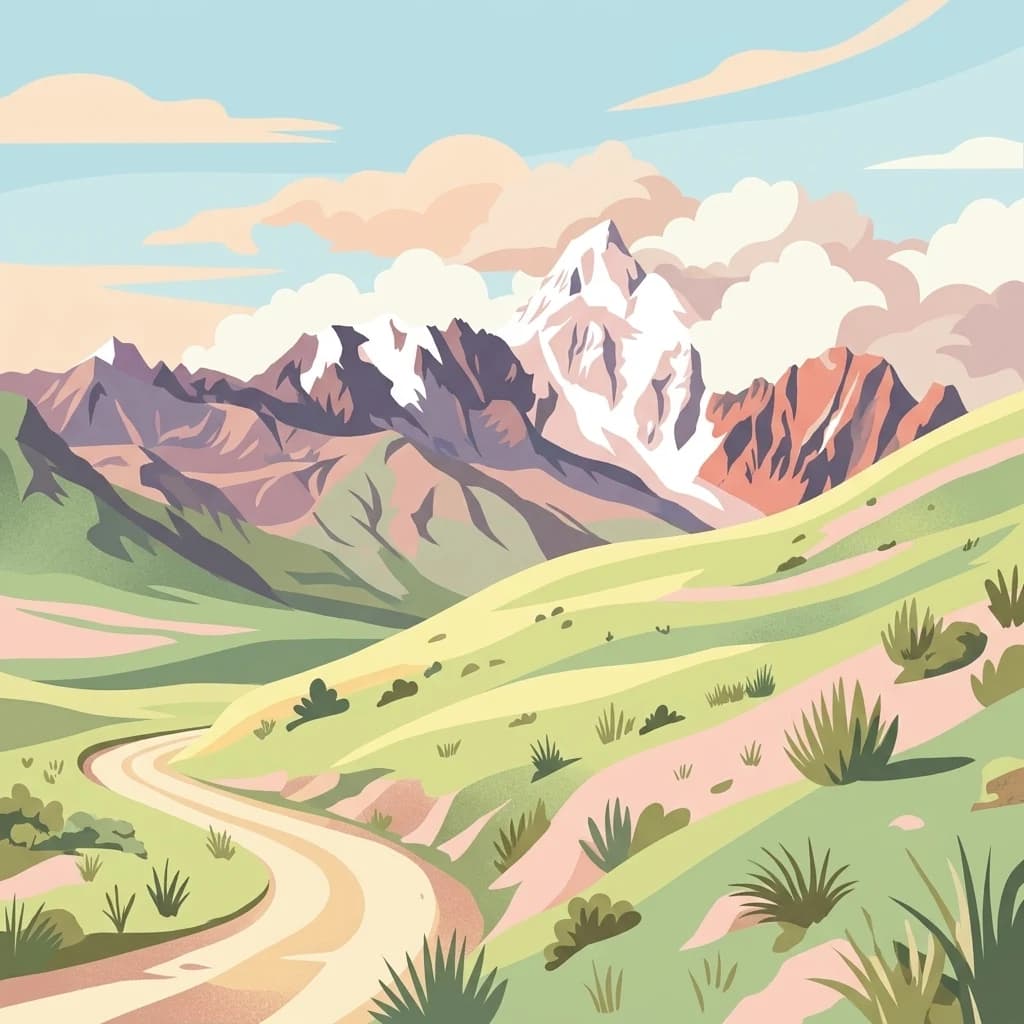
A flat-style digital illustration of a winding dirt trail leading through a green valley toward a jagged, snow-capped mountain range under a pastel sky.
National parkLa Paz
About 18 km away#1 closest

West

Parque Nacional Tuni Condoriri: Geographic Atlas of the Cordillera Real Protected Landscape

High-altitude mountain terrain and glacial lake systems in Bolivia

Spanning elevations between 4,500 and 6,200 meters, Parque Nacional Tuni Condoriri represents a primary example of high-Andean topography. The landscape is defined by the serrated Condoriri massif, a series of interconnected glacial lakes, and expansive high-altitude grasslands. This protected area remains a focal point for understanding the hydrological and geological processes shaping the mountain environments of the La Paz region.

Area
91.75 km²
Established
1942
Relief
Mountain
Climate
Alpine
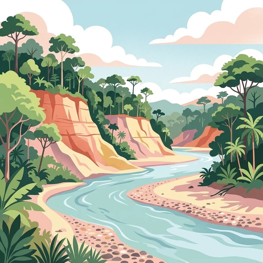
A vibrant digital illustration of a wide, light blue river flowing through a lush tropical rainforest, flanked by steep, stratified orange and beige clay cliffs and dense green jungle foliage under a soft cloudy sky.
National parkLa Paz Department
95 km away#2 closest

North

Madidi National Park: National Park Protected Landscape and Geographic Atlas Entry

Explore mapped boundaries and regional context in La Paz Department.

Madidi National Park is a designated national park situated in Bolivia's La Paz Department. This detail entry offers a focused perspective on its protected landscape, its specific geographic setting, and its role within the larger atlas of natural areas. Understand the park's mapped boundaries and its contribution to the regional geography, providing a foundation for structured discovery of Bolivia's protected lands.

Area
18,957.5 km²
Established
1995
IUCN
II
Relief
Mixed relief
A pale, soft-toned watercolor illustration of a calm river landscape with rolling hills in the background and sparse trees along the banks.
Biosphere reserveBolivia
About 141 km away#3 closest

Northeast

Reserva de la Biosfera y Tierra Comunitaria de Origen Pilón Lajas Protected Landscape Atlas

Mapping the Andean Amazonian transition in northern Bolivia

Spanning from high mountain ridges to the river plains of the Beni, this protected area features a unique vertical gradient of ecosystems including cloud forests and terra firme. It represents a significant model for indigenous co governance and biodiversity protection within the broader Andean and Amazonian geographic context.

Area
4,000 km²
Established
1992
Relief
Mountain
Climate
Tropical
Watercolor illustration showing a mountain range with green fields, a river, and soft pastel colors
National parkCochabamba Department
151 km away#4 closest

Southeast

Tunari National Park: Protected Landscape Atlas and Geographic Context

Mapped boundaries within Cochabamba Department's geography.

Tunari National Park represents a vital protected landscape within the Cochabamba Department of Bolivia. This page offers an atlas-centric exploration of the park's geographic boundaries, its relationship to the surrounding regional terrain, and its significance as a national park. Delve into the mapped context of Tunari National Park to understand its protected area status and its contribution to Bolivia's diverse geography.

Area
3,090 km²
Established
1992
IUCN
II
Relief
Mountain
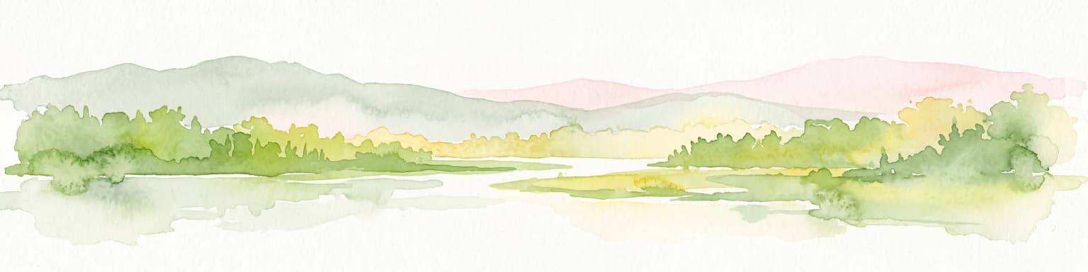
A panoramic watercolor illustration of a mountain landscape with rolling green hills, pink distant peaks, and small green bushes in the foreground.
Protected areaBolivia
About 154 km away#5 closest

Northwest

Área Natural de Manejo Integrado Apolobamba: Protected Landscape Geography and Andean Terrain

High-altitude glacial geography and Andean-Amazonian transition zones

Located in the department of La Paz, this protected area features a rugged landscape defined by tectonic uplift and Quaternary glaciation. It safeguards critical high-Andean habitats, including peatlands and Polylepis woodlands, while providing a essential refuge for vicuña populations within its steeply dissected mountain topography.

Area
4,837.43 km²
Established
1972
Relief
Mountain
Climate
Alpine
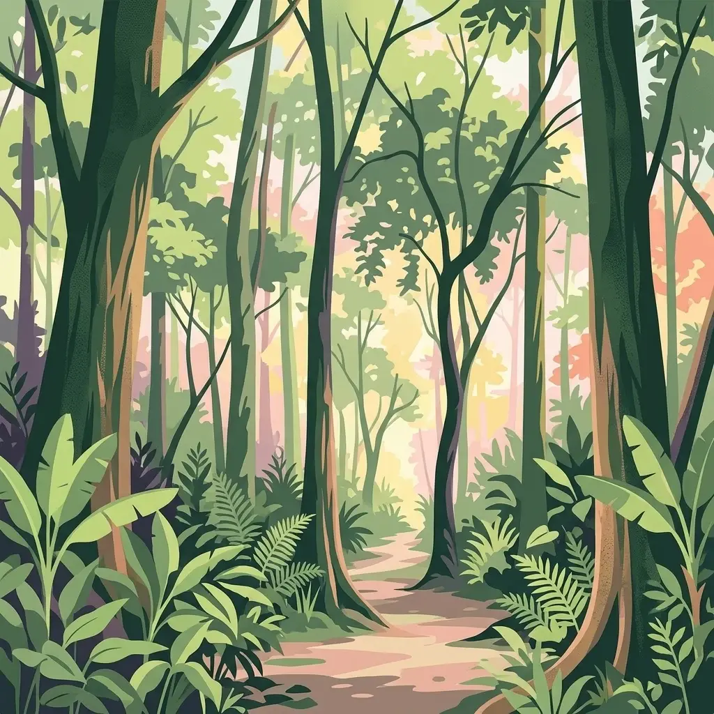
A stylized, colorful illustration of a forest path winding through dense tropical trees, ferns, and leafy undergrowth with a soft light filtering through the canopy.
National parkBolivia
About 191 km away#6 closest

East

Isiboro Sécure National Park and Indigenous Territory: Bolivian Protected National Park Atlas

Mapped protected boundaries and regional landscape context.

Investigate Isiboro Sécure National Park and Indigenous Territory as a key protected national park within Bolivia's expansive geography. This resource offers detailed views of its mapped natural landscape and its regional significance as a protected area. Understand the park's geographic attributes and its contribution to the country's conservation atlas through structured map-based exploration.

Area
13,721.8 km²
Established
1965
IUCN
II
Relief
Mixed relief
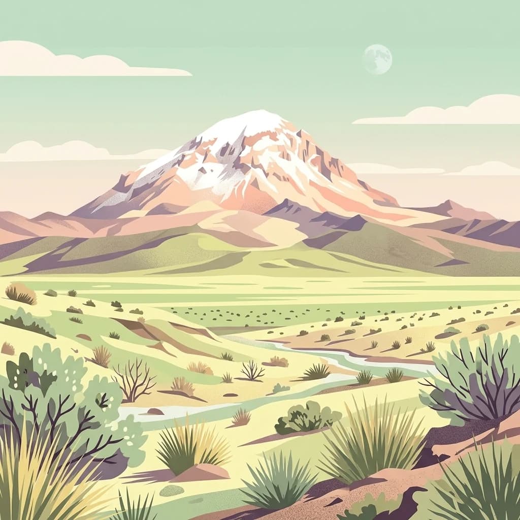
An illustration showing a snow-capped conical mountain rising above a dry, grassy landscape with small shrubs and a winding stream under a pale sky.
National parkBolivia
207 km away#7 closest

Southwest

Sajama National Park National Park: Bolivia's Mapped Protected Landscape for Geographic Exploration

Discover regional geography and mapped protected area context.

Sajama National Park represents a crucial protected area within the geography of Bolivia. This MoriAtlas entry focuses on its identity as a national park, detailing its mapped boundaries and its contribution to the regional atlas of protected lands. Understand the park's landscape context and its significance for geographic discovery within South America's diverse terrains.

Area
1,002 km²
Established
1939
IUCN
II
Relief
Mountain
Protected areaBeni Department
About 221 km away#8 closest

North

Área Protegida Municipal Rhukanrhuka: Mapping Amazonian Biodiversity and Riverine Terrain

A transitional protected landscape in the Beni Department of Bolivia

Spanning a vast transition from Andean slopes to the Llanos de Moxos floodplain, Área Protegida Municipal Rhukanrhuka protects a dynamic mosaic of white-water rivers, gallery forests, and tectonic lakes. This significant municipal reserve serves as a refuge for threatened species and sustains indigenous Maropa communities within its borders, anchoring an essential conservation corridor in the northern Amazon.

Area
8,594.51 km²
Established
2019
Relief
Lowland
Climate
Tropical
National parkCochabamba Department
233 km away#9 closest

Southeast

Carrasco National Park: National Park Status and Protected Landscape Geography

Explore mapped boundaries within Cochabamba Department.

Carrasco National Park, situated within the Cochabamba Department, represents a critical national park entity. This focus provides users with an atlas-centric view of its protected landscape, detailing its geographic significance and mapped features. Understand the park's terrain and regional context, offering a clear perspective on its conservation value and mapped presence.

Area
6,226 km²
Established
1991
IUCN
II
Relief
Mountain
An illustration of a snowy volcanic mountain peak rising above a winding river, low-lying wetlands, and shrubs in a high-altitude landscape.
National parkArica-Parinacota Region
237 km away#10 closest

Southwest

Lauca National Park

Explore the geography of this Arica-Parinacota Region national park.

Lauca National Park, in Arica y Parinacota Region, Chile. Landscapes: mountains, plateaus, and volcanoes.

Area
1,379 km²
Established
1970
IUCN
II
Visitors
12.1K annual
Regional parkBeni
About 247 km away#11 closest

Northeast

Parque regional Yacuma: Geographic Overview and Protected Landscape Mapping

Riparian ecosystems and flooded savanna terrain in Beni, Bolivia

Explore the expansive floodplain mosaic of Parque regional Yacuma, where the Yacuma and Beni river systems create a vital refuge for lowland wildlife. The park offers an essential view into the seasonal transitions of northern Bolivia, bridging pre-Andean forests and inundated savanna plains that define this significant regional conservation corridor.

Area
1,200 km²
Established
1990
Water
Major water bodies
A horizontal watercolor painting depicting a soft-focus landscape with green hills, a winding river, and reddish marshy foreground vegetation.
Biosphere reserveBolivia
About 260 km away#12 closest

Northeast

Reserva de Biosfera Estación Biológica del Beni: Protected Landscape and Geographic Atlas

Examining the Amazonian lowland mosaic of northern Bolivia

The Reserva de Biosfera Estación Biológica del Beni sits within the wide alluvial plains of the Llanos de Moxos. This protected area features a unique, flat terrain where tropical forest fragments persist as islands amidst seasonally flooded palm savannas, cyperaceous marshes, and shallow lagoons, providing a critical study area for Amazonian biodiversity.

Area
1,350 km²
Established
1982
Relief
Lowland
Climate
Tropical
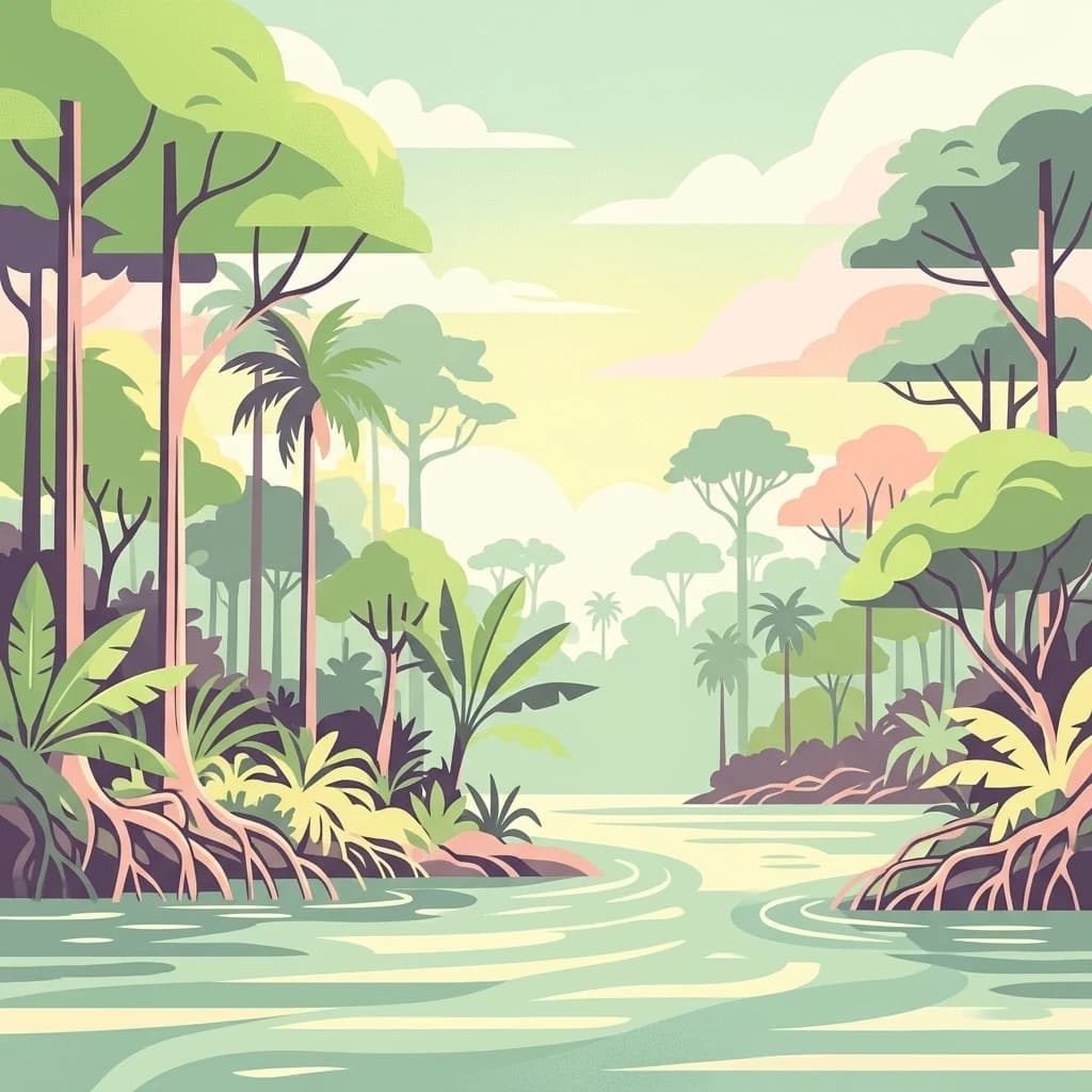
A digital illustration of a lush tropical river landscape, featuring dense rainforest vegetation, tall trees with exposed root systems along the riverbanks, and a gentle flowing river under a soft, overcast sky.
National parkPeru
269 km away#13 closest

Northwest

Bahuaja-Sonene National Park

Explore its mapped protected landscape and diverse terrain.

Bahuaja-Sonene National Park, in Peru. Landscapes: hills, mountains, and valleys.

Area
10,914.2 km²
Established
1996
IUCN
II
Relief
Mixed relief
A horizontal watercolor painting of a river landscape with lush green vegetation in the foreground and soft, hazy hills in the background.
Protected areaBeni
About 269 km away#14 closest

Northeast

Área protegida municipal Pampas del río Yacuma: Protected Area and Wetland Geography

A large-scale municipal sanctuary in the Bolivian Amazon

This significant protected area encompasses the expansive floodable savannas of the Llanos de Moxos. Its mosaic of forest islands and riverine wetlands provides a critical refuge for endemic species and iconic Amazonian wildlife. The geography is shaped by the Yacuma River, creating a seasonal environment that bridges indigenous heritage with modern conservation land management.

Area
6,164.53 km²
Established
2007
Visitors
16K annual
Relief
Lowland
A stylized illustration of a deep canyon with rugged cliffs, sparse vegetation, and layered hills under a bright sky.
National parkPotosí Department
About 295 km away#15 closest

Southeast

Torotoro National Park: Paleontology and Karst Landscape Exploration in Bolivia

Discover prehistoric footprints within dramatic Andean canyon geography.

Torotoro National Park in the Potosí Department is a protected area distinguished by its rich paleontological significance and unique semi-arid mountain terrain. Featuring dramatic canyon systems plunging hundreds of meters deep, the park showcases thousands of Cretaceous dinosaur footprints alongside its complex karst topography, complete with caves and sinkholes, offering a profound glimpse into both ancient life and sculpted natural geography.

Area
165 km²
Established
1989
IUCN
II
Relief
Mountain
Nature reserveBeni Department
About 320 km away#16 closest

Northeast

Reserva natural Barba Azul: A Protected Savanna Sanctuary in the Beni Department

Mapping flooded grasslands and gallery forest ecosystems

Reserva natural Barba Azul stands as a key protected area within the Bolivian Amazon lowlands. This nature reserve, centered in the Beni Department, preserves a rare mosaic of motacú palm forests and seasonal wetlands that serve as a critical stronghold for endangered parrots and migratory shorebirds within the larger Llanos de Moxos region.

Area
110 km²
Established
2008
Relief
Lowland
Climate
Tropical
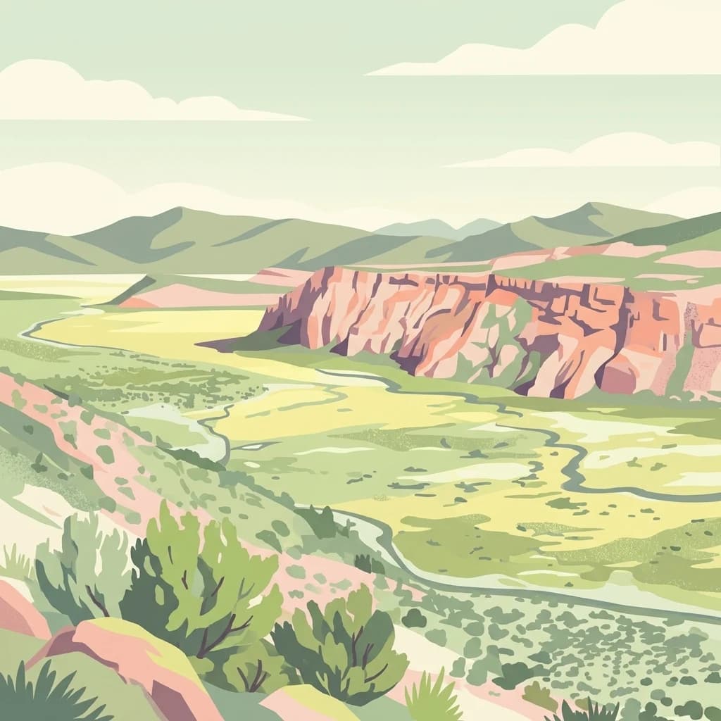
A flat, stylized illustration showing a wide valley with a winding river, bordered by a prominent rocky escarpment and distant mountain ridges under a light sky.
National parkTarapacá Region
320 km away#17 closest

South

Volcán Isluga National Park: Protected Landscape Atlas and Geographic Context

Explore mapped boundaries and natural terrain in Tarapacá Region.

Volcán Isluga National Park stands as a distinct protected natural landscape in the Tarapacá Region of Chile. This MoriAtlas entry provides detailed insights into its geographic setting, mapped park boundaries, and the unique natural terrain it encompasses. It serves as a vital point for understanding the park's role within Chile's network of protected areas and its contribution to the regional geography.

Area
1,747 km²
Established
1967
IUCN
II
Relief
Mountain
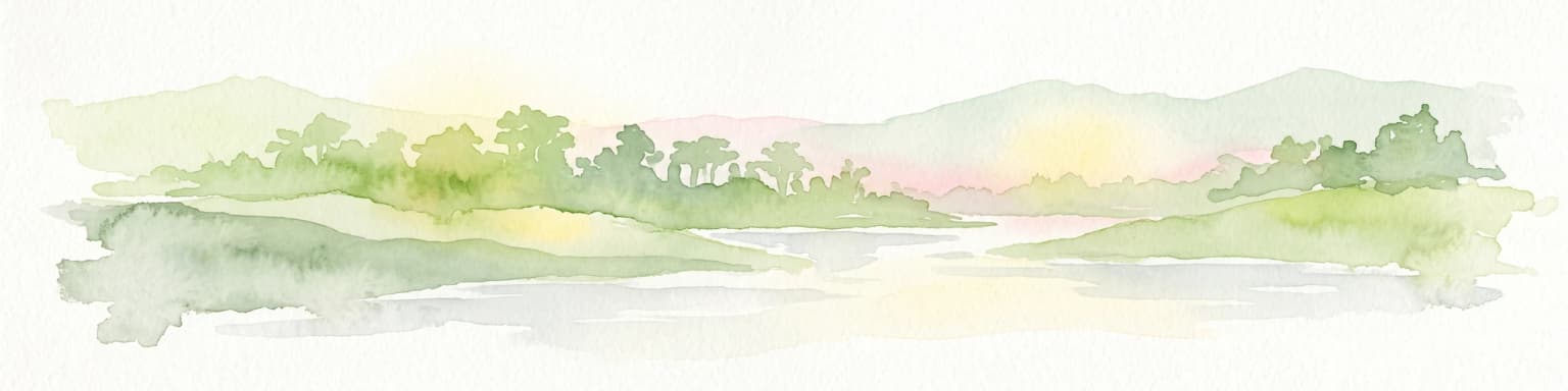
A watercolor painting showing a soft, atmospheric landscape with a winding river, green banks, trees, and distant low hills against a white background.
Protected areaBeni Department
321 km away#18 closest

Northeast

Área Protegida Municipal Ibare-Mamoré: Geography and Protected Area Context

Riverine landscapes and wetlands in Bolivia's Beni Department

The Área Protegida Municipal Ibare-Mamoré encompasses a diverse range of ecosystems, from upland forests to open grasslands and shifting river channels. As a key conservation unit near the city of Trinidad, this area highlights the ecological importance of the Llanos de Moxos region through its interconnected aquatic and terrestrial habitats.

Area
256.08 km²
Established
2011
Relief
Lowland
Climate
Tropical
Protected landscapeBeni
About 340 km away#19 closest

East

Parque Municipal y Área Natural de Manejo Integrado Gran Mojos: Regional Geography

Protected floodplain ecosystems in the Beni department of Bolivia.

Analyze the spatial distribution of this large protected area located in the Mamoré River basin. Learn about its dual-designation structure, bridging core municipal forests with integrated management zones that preserve vital lowland Amazonian habitats and endemic biodiversity within the Llanos de Moxos ecoregion.

Area
5,804.3 km²
Established
2017
Relief
Lowland
Scope
Terrestrial
A vibrant, flat-style illustration depicting a two-tiered waterfall plunging from a rocky cliff into a circular pool, surrounded by dense jungle vegetation and misty mountains.
National parkSanta Cruz Department
368 km away#20 closest

Southeast

Amboró National Park: Its Protected Area Identity and Geographic Context

Mapped boundaries and regional landscape details.

Amboró National Park is a designated national park situated within the Santa Cruz Department, Bolivia. This entry provides detailed insights into its protected landscape, focusing on its geographical significance and mapped boundaries. Users can explore how Amboró National Park fits into the broader regional geography, enhancing their understanding of conservation areas and mapped natural terrains for atlas-based research and discovery. Its specific location and protected status are crucial for understanding its ecological and geographic role.

Area
4,425 km²
Established
1984
IUCN
II
Relief
Mountain
Distance methodology

Geographic measurements, not driving distances

How nearby park distances are calculated

Distances use park boundaries whenever the available geometry allows it. When one or both boundaries are missing, the mapped park locations provide a clearly labelled estimate. Every value represents straight-line geographic separation and does not use roads or routing.

Boundary distance

Calculated between the nearest points of both park boundaries.

Location-to-boundary estimate

Estimated from one mapped park location to the nearest boundary of the other park.

Mapped-location estimate

Estimated between the mapped locations of both parks.

MoriAtlas Explorer

Continue Exploring Cotapata National Park and Integrated Management Natural Area's Geography and Map Context

Deepen your understanding of Cotapata National Park and Integrated Management Natural Area by exploring its precise geographic setting and protected landscape features. This detailed view provides valuable context for its mapped boundaries and its role within the broader regional geography of Bolivia, enhancing your atlas discovery journey.