Mori Atlas logo
Nearby park discovery

Geographic distribution of regional landscapes and surrounding conservation zones

Parks near Hortobágy National Park

Compare protected areas near Hortobágy National Park, ordered by geographic distance. They include Bükk and Cefa.

Stylized illustration of a person riding a horse in a grassy field with sheep grazing, a stone bridge in the background, mountains under a partly cloudy sky, and blue flowers in the foreground

Europe's largest semi-natural steppe grassland and Hungary's first national park

Hortobágy National Park

Hortobágy National Park is Hungary's premier protected area and the first national park established in the country in 1973. Located in the eastern portion of the Great Hungarian Plain (Alföld), this vast grassland covers approximately 74,820 hectares and represents the largest semi-natural grassland in Europe. The park was inscribed on the UNESCO World Heritage List in 1999 in recognition of its extraordinary cultural landscape that has been shaped by over four millennia of pastoral traditions. The distinctive puszta ecosystem, characterized by its alkaline steppe soils, sweeping horizons, and traditional Hungarian herding culture, creates a landscape unlike any other on the continent. Beyond its ecological significance, the park holds profound cultural importance as a living repository of Hungarian pastoral heritage, featuring traditional sweep wells, the iconic Nine-holed Bridge, and the continued presence of traditional animal breeds such as Hungarian Grey cattle and Racka sheep.

Location
Hungary
Park type
National park
Established
1973
Area
748.2 km²
Hortobágy National Park Protected Landscape
Regional park map

See the ranked park cluster in its geographic setting

Nearby parks around Hortobágy National Park

This regional map shows the same 20 nearby parks ranked below around Hortobágy National Park. Select a ranked marker to highlight that park’s boundary where boundary data is available.
Reference park: Hortobágy National ParkRanked nearby parkSelected boundary: Hortobágy National Park20 nearby parks shown
20 nearby parks

Distance ranked park geography and surrounding protected landscapes

Parks and Protected Areas Geographically Near Hortobágy National Park

Geographic proximity metrics establish a structured ranking of protected areas situated near Hortobágy National Park, evaluating regional separation and environmental characteristics. Analyzing these surrounding landscapes provides meaningful context for regional park comparison without assuming uniform ecological traits across borders.
Watercolor painting showing a landscape with hills, a body of water, and vegetation
National parkBorsod-Abaúj-Zemplén County
25 km away#1 closest

Northwest

Bükk National Park

Explore mapped boundaries and unique protected landscapes.

Bükk National Park, in Borsod-Abaúj-Zemplén County, Hungary. Landscapes: mountains, forests, and caves.

Area
431.3 km²
Established
1977
IUCN
II
Relief
Mixed relief
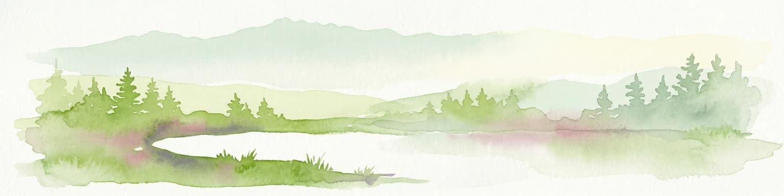
Watercolor painting of a wetland with a calm lake, reeds, and distant forested hills
Protected landscapeBihor County
About 65 km away#2 closest

Southeast

Cefa Natural Park Protected Landscape: Atlas and Geographic Context

Mapped wetland habitats and European bird migration routes.

Cefa Natural Park, designated as a protected landscape in Bihor County, Romania, offers significant insight into European wetland ecosystems and migratory bird patterns. Spanning 5,002 hectares, it features critical habitats such as marshes, floodplains, and the Rădvani Forest, positioned directly on the Pannonian, Bulgarian migration corridor. This park is a landmark for understanding regional geography and conservation efforts focused on migratory waterfowl and specialized halophytic vegetation. MoriAtlas provides the structured geographic data and mapped context necessary for detailed atlas-based discovery of this important protected area.

Area
50.02 km²
Established
2010
IUCN
V
Relief
Lowland
Watercolor painting showing a winding river, green trees, distant hills, and grassy foreground
National parkHungary
71 km away#3 closest

Northwest

Aggtelek National Park

Karst Landscape & Cave Systems

Aggtelek National Park, in Hungary. Landscapes: mountains, hills, and valleys.

Area
198.92 km²
Established
1985
IUCN
II
Relief
Mixed relief
A stylized, flat-design illustration of a waterfall falling between two steep, colorful cliffs surrounded by coniferous trees.
Natural monumentHungary
About 82 km away#4 closest

Northwest

Baradla Cave: Karst Geography and Protected Subterranean Landscapes in Northern Hungary

A mapped overview of the Aggtelek Karst subterranean systems.

Baradla Cave functions as a protected natural monument, offering a comprehensive look at the geological processes within the Aggtelek Karst. The system is defined by its seven-kilometer main passage, giant chambers, and extraordinary variety of stalactite and stalagmite formations, revealing how climate and water have shaped the underground landscape over millennia.

Established
1549
Relief
Upland
Climate
Temperate
Access
Easy access
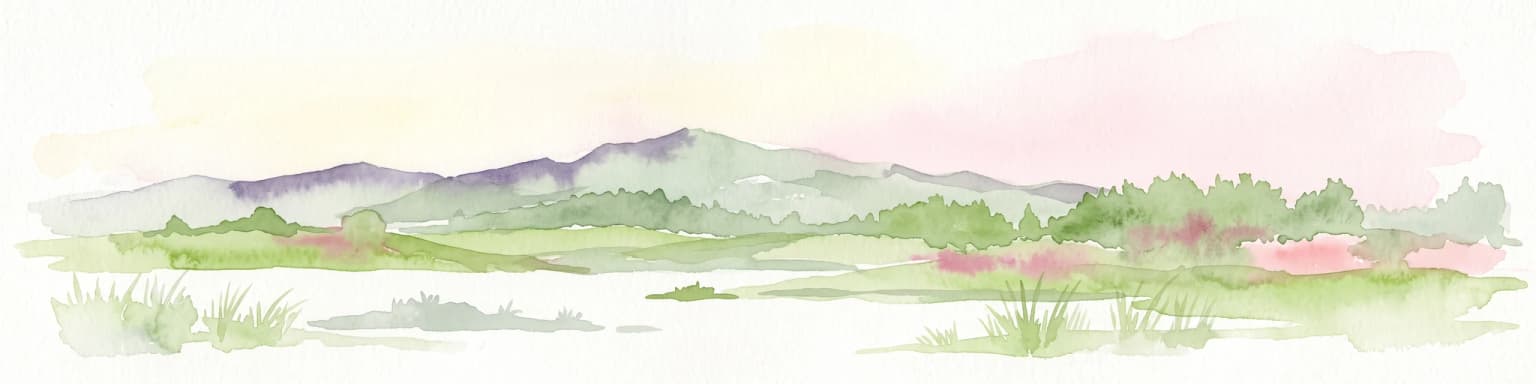
Watercolor illustration of a river flowing through a valley with mountains in the background
National parkBékés County
About 83 km away#5 closest

South

Körös-Maros National Park: National Park Identity and Békés County Landscape Context

Explore its mapped protected areas, wetlands, and steppe grasslands.

Körös-Maros National Park is a designated national park located in Békés County, Hungary, recognized for its expansive wetland ecosystems and steppe grassland habitats. This protected area plays a critical role in the geography of the Southern Great Plain, serving as a vital migration corridor for diverse bird populations. Users can explore the park's distinct landscape features, mapped protected boundaries, and its significance as a hub for avian conservation.

Area
501.34 km²
Established
1997
IUCN
V
Relief
Lowland
A stylized illustration of a mountain valley with a meadow in the foreground, green trees on the slopes, and rocky peaks under a pale sky.
National parkKošice Region
84 km away#6 closest

North

Slovak Karst National Park: Premier Central European Karst Landscape and Cave Systems

Explore protected terrain and mapped underground wonders in Košice Region.

Slovak Karst National Park offers an unparalleled glimpse into a dynamic karst environment. As a designated national park and UNESCO Biosphere Reserve, it preserves a significant concentration of caves, dramatic limestone formations, and rugged canyons within its territory in southeastern Slovakia. This atlas-focused presentation highlights the park's distinctive geology, mapped landscape features, and its importance as a protected natural area within the broader geography of the Košice Region. Understand the park's surface topography and its world-renowned subterranean realms.

Area
346.11 km²
Established
2002
IUCN
II
Relief
Mountain
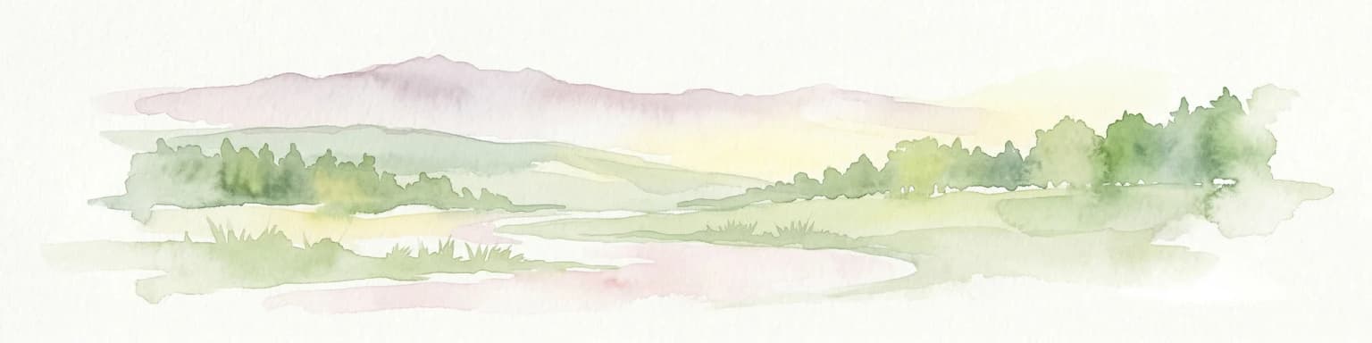
Watercolor painting of rolling hills, green fields, and a winding path
National parkHungary
112 km away#7 closest

Southwest

Kiskunság National Park

Discover protected landscapes, alkaline lakes, and bird habitats.

Kiskunság National Park, in Hungary. Landscapes: grasslands, wetlands, and dunes.

Area
530 km²
Established
1975
IUCN
II
Relief
Lowland
A digital illustration of a rolling landscape during sunset; a small observation tower sits atop a grassy, rounded hill in the center, surrounded by colorful autumn forests.
National parkPest County
115 km away#8 closest

West

Danube-Ipoly National Park: Protected Landscape and Geographic Atlas

Mapping Hungary's diverse terrain and protected natural areas.

Delve into Danube-Ipoly National Park, a significant protected area renowned for its extraordinary ecological diversity. This page explores the park's distinct landscapes, from the volcanic formations of the Börzsöny Mountains to the deep karst cave systems of the Pilis, set against the backdrop of the Danube and Ipoly river floodplains. Understand its geographic placement within Pest County and its role as a vital protected landscape for conservation and atlas-based discovery.

Area
603.14 km²
Established
1997
IUCN
V
Relief
Mixed relief
Watercolor illustration of a forested landscape with mountains, trees, and a river
National parkBanská Bystrica Region
124 km away#9 closest

Northwest

Muránska planina National Park: Discover Slovakia's Karst Plateau and Protected Natural Landscape

Explore mapped boundaries, caves, and endemic flora in Banská Bystrica Region.

Muránska planina National Park represents a significant protected landscape in central Slovakia's Banská Bystrica Region, defined by its extensive karst topography. This national park encompasses a limestone and dolomite plateau rich with geological wonders, including over 150 caves, sinkholes, and karst springs. The unique contrast between the flat plateau surface and the sharp, rocky ravines showcases a dramatic natural terrain. Explore the park's mapped boundaries and its remarkable biodiversity, highlighted by 35 endemic species and rare Tertiary relict flora like Daphne arbuscula, making it a key destination for atlas-based geographic discovery.

Area
213.18 km²
Established
1997
IUCN
II
Relief
Mountain
Watercolor illustration of a winding river through rolling green hills with trees in the foreground
National parkKošice Region
124 km away#10 closest

North

Slovak Paradise National Park: Protected Area Mapping & Geographic Context in Košice Region

Explore the boundaries and terrain of this national park.

Investigate Slovak Paradise National Park, a designated national park situated within Slovakia's Košice Region. This detailed entry provides essential context for understanding its protected landscape features, mapped geographic distribution, and role within regional atlas exploration. Discover its unique terrain and boundaries to build a comprehensive view of Slovak conservation areas.

Area
197.63 km²
Established
1988
IUCN
II
Relief
Mountain
Watercolor painting of rolling mountains in green, yellow, and pink tones
National parkSlovakia
130 km away#11 closest

Northwest

Low Tatras National Park

Explore mapped terrain and regional geographic context.

Low Tatras National Park, in Slovakia. Landscapes: mountains, valleys, and forests.

Area
728 km²
Established
1978
IUCN
II
Relief
Mountain
Watercolor illustration showing a river, grassy banks, distant trees, and hills under a soft sky
Protected areaRomania
About 132 km away#12 closest

South

Mureş Floodplain Natural Park: Romania Protected Area Atlas and Geographic Features

Explore mapped boundaries and regional landscape context.

Mureş Floodplain Natural Park is a designated protected area in Romania, significant for its geographic particularities and landscape features. This page provides an atlas-level exploration of the park, detailing its mapped boundaries and how it fits within the country's regional geography. Understand the essence of this protected landscape through structured data and geographic context, facilitating deeper exploration of Romania's natural reserves.

IUCN
V
Scope
Terrestrial
Water
Major water bodies
Watercolor painting of a mountainous landscape with green forests, a river, and distant peaks
National parkZakarpattia Oblast
About 148 km away#13 closest

Northeast

Zacharovanyi Krai National Nature Park: Protected Landscape Atlas Entry

National park within Zakarpattia Oblast, Ukraine

Navigate Zacharovanyi Krai National Nature Park, a designated national park offering vital insights into protected landscapes and regional geography. This entry provides core information about the park's protected area status and its geographic setting within Zakarpattia Oblast, essential for structured atlas discovery and understanding the mapped natural terrain of western Ukraine.

Area
61.01 km²
Established
2009
IUCN
II
Relief
Mountain
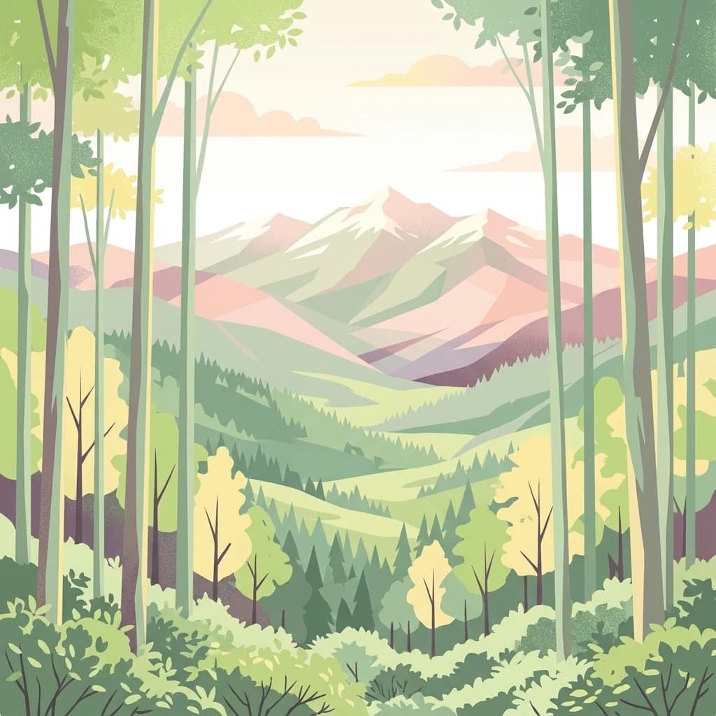
Stylized digital illustration of a mountain range viewed through a foreground of vertical tree trunks and lush forest vegetation.
National parkPrešov Region
151 km away#14 closest

Northeast

Poloniny National Park: Carpathian Protected Landscape and Regional Geography Exploration

Mapped terrain and unique mountain meadows in Slovakia's Eastern Carpathians.

Delve into Poloniny National Park, a protected national park located in the Prešov Region of Slovakia. This entry focuses on the park's distinct protected landscape identity, featuring its extensive primeval beech forests that form part of a UNESCO World Heritage site, and its characteristic polonina meadows. Understand its geographic positioning within the Bukovské vrchy mountains and its role as a transboundary protected area, offering a unique lens for atlas-based discovery of Carpathian natural heritage.

Area
406.88 km²
Established
1997
IUCN
II
Relief
Mountain
Watercolor painting showing a lake surrounded by trees and mountains in the background
National parkSlovakia
153 km away#15 closest

Northwest

Tatra National Park: Mapping the Alpine Peaks and Glacial Landscapes of Slovakia

Protected Mountain Terrain in the Carpathian Range

Examine the geographic framework of Tatra National Park, a significant protected area in Slovakia defined by dramatic glacial valleys, over three hundred caves, and high-altitude mountain ecosystems. This authoritative entry provides a detailed look at the park's alpine boundaries, hydrological networks, and role as a transboundary biosphere reserve in the Carpathian Mountains.

Area
738 km²
Established
1949
IUCN
II
Relief
Mountain
Watercolor painting showing a landscape with rolling hills, forests, and mountains in soft pastel colors.
Protected landscapeRomania
About 153 km away#16 closest

Southeast

Apuseni Natural Park: Protected Landscape Identity and Geographic Map Exploration

Romania's protected area mapped in its regional geography.

Apuseni Natural Park stands as a protected landscape offering significant value for geographic discovery. This entry provides a detailed look at its protected-area status and mapped landscape context within Romania. Users can explore its boundaries, understand its relation to surrounding terrain, and utilize this information for a structured atlas-based approach to natural landscape research.

Area
757.84 km²
Established
1990
IUCN
V
Relief
Mountain
A minimalist watercolor painting showing rolling green hills and distant mountain ridgelines in soft pastel tones of green and violet against a white background.
Protected areaAlbania
154 km away#17 closest

Northeast

Primeval Beech Forests of the Carpathians and Other Regions of Europe: Protected Area and Forest Atlas

A transnational network of old growth beech forest reserves across Europe.

Examine the geographic distribution and protected boundaries of the Primeval Beech Forests of the Carpathians and Other Regions of Europe. This site highlights the continent's most intact beech forest ecosystems, illustrating essential ecological processes from the Balkans and Carpathians to the Alps and Western Europe.

Area
583.53 km²
Established
2007
Relief
Mountain
Access
Access unknown
Watercolor illustration of a mountainous landscape with forests, lakes, and rolling hills under a light sky
National parkUkraine
154 km away#18 closest

Northeast

Uzh National Nature Park: Primeval Beech Forests and Protected Landscape in Ukraine

Explore its mapped boundaries and Carpathian geography.

Uzh National Nature Park, a protected national park in Ukraine's Carpathian Mountains, safeguards a crucial segment of the Primeval Beech Forests of the Carpathians, a UNESCO World Heritage site. This atlas-focused exploration reveals the park's mapped terrain, defined by river valleys and ancient forest ecosystems, offering essential geographic context for this significant protected landscape. Discover the natural heritage preserved within its boundaries, showcasing exceptional biodiversity and the unique character of the Eastern Carpathians.

Area
391.593 km²
Established
1999
IUCN
II
Relief
Mountain
Protected areaLesser Poland Voivodeship
162 km away#19 closest

North

Ostoja Popradzka: Mapped Protected Landscapes and Geographic Context in Southern Poland

A core conservation site within the Beskid Sadecki mountain range

Spanning extensive river valleys and alpine meadows, Ostoja Popradzka serves as a primary habitat network in the Polish Carpathians. This entry details its layered geography, including protected forest reserves, karst cave systems, and essential corridors for large carnivores, framed within the administrative boundaries of the Lesser Poland Voivodeship.

Area
579.31 km²
Established
2008
Relief
Mountain
Scope
Terrestrial
A soft watercolor painting of a mountain landscape with rolling green hills and a pinkish sky.
Biosphere reservePoland
About 164 km away#20 closest

Northeast

East Carpathian Biosphere Reserve: Mapping the Protected Landscapes of the Eastern Carpathians

Transboundary protected area and mountain ridge geography

The East Carpathian Biosphere Reserve represents a critical junction of mountain geography and protected-area cooperation. Spanning significant forest ecosystems and ridgelines in the Bieszczady mountains, this reserve functions as a continuous environmental corridor. Access detailed insights into its terrain, from high-altitude polonyna meadows to the dense beech forests that define its protected status.

Area
2,080.89 km²
Established
1992
Distance methodology

Geographic measurements, not driving distances

How nearby park distances are calculated

Distances use park boundaries whenever the available geometry allows it. When one or both boundaries are missing, the mapped park locations provide a clearly labelled estimate. Every value represents straight-line geographic separation and does not use roads or routing.

Boundary distance

Calculated between the nearest points of both park boundaries.

Location-to-boundary estimate

Estimated from one mapped park location to the nearest boundary of the other park.

Mapped-location estimate

Estimated between the mapped locations of both parks.

MoriAtlas Explorer

Hortobágy National Park

Explore the map, landscapes, and protection details for Hortobágy National Park.